
Top fish species at Kings Creek


Check which species have trophy potential in Kings Creek
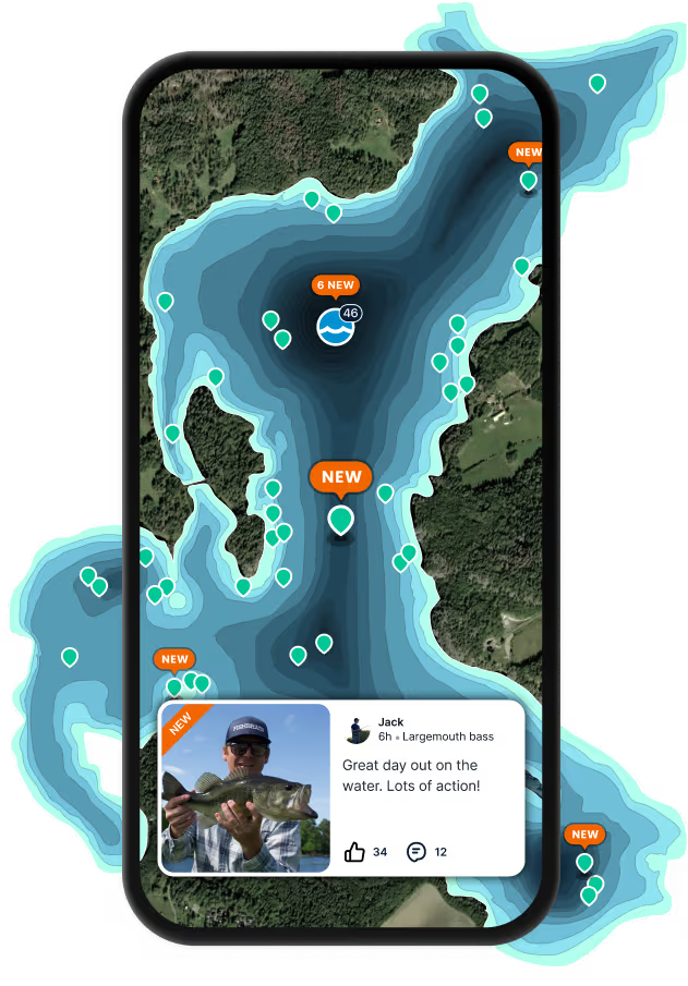
Kings Creek fishing reports

Continue browsing catches and catch locations in the Fishbrain app
Fishing regulations at Kings Creek, WV
Disclaimer: Always check local fishing regulations, water access rights and land ownership before fishing, regardless of any catches logged in that area by the Fishbrain community. Fishbrain has mapped millions of acres of government-owned land across the USA to help you identify potential fishing access, but you are responsible for ensuring compliance with all legal requirements.
Fishing regulations in West Virginia can change throughout the year. Make sure to check this page before fishing for the most up to date rules and regulations for the current season. Local regulations govern when you can fish, the max size of the fish you can keep, how many fish you can keep, and more.
Below you will see fishing regulations for catching Smallmouth bass as of April 1st, 2026. To view regulations for a different fish species, please click on your preferred species in the drop-down.
Seasons
Bag limit
Aggregate
No size limit.
SPECIAL AREA REGULATIONS:
- Area 1 (8-mile section in Hardy County from 3 miles east of Petersburg at the routes 28, 55 and 220 bridge (Petersburg Gap bridge) downstream to the county Route 13 bridge (Fisher bridge)): (1) All black bass (smallmouth, spotted and largemouth) caught must be returned to the water at once. (2) No black bass shall be in the angler's possession (creel limit 0) while fishing in designated catch-and-release lakes and streams.
- Area 2 (9.5-mile section in Hampshire County from the routes 28 and 50 bridge (Romney bridge) downstream to the state Route 28 bridge (Blue Beach bridge)): (1) All black bass (smallmouth, spotted and largemouth) caught must be returned to the water at once. (2) No black bass shall be in the angler's possession (creel limit 0) while fishing in designated catch-and-release lakes and streams.
- Barboursville Lake: All black bass (smallmouth, spotted and largemouth) under 12 inches long must be returned to the water at once.
- Beech Fork Lale: All black bass (smallmouth, spotted and largemouth) under 12 inches long must be returned to the water at once.
- Chief Logan Lake: All black bass (smallmouth, spotted and largemouth) under 12 inches long must be returned to the water at once.
- Conaway Lake: All black bass (smallmouth, spotted and largemouth) under 12 inches long must be returned to the water at once.
- Dunkard Fork Lake: (1) All black bass (smallmouth, spotted and largemouth) caught must be returned to the water at once. (2) No black bass shall be in the angler's possession (creel limit 0) while fishing in designated catch-and-release lakes and streams.
- Edwards Run Pond Lake: (1) All black bass (smallmouth, spotted and largemouth) caught must be returned to the water at once. (2) No black bass shall be in the angler's possession (creel limit 0) while fishing in designated catch-and-release lakes and streams.
- Elk Fork Lake: (1) All black bass (smallmouth, spotted and largemouth) caught must be returned to the water at once. (2) No black bass shall be in the angler's possession (creel limit 0) while fishing in designated catch-and-release lakes and streams.
- Greenbrier River – Greenbrier County (6-mile section beginning at the U.S. Route 60 bridge near Caldwell extending downstream to the U.S. Route 219 bridge at Ronceverte): (1) All black bass (smallmouth, spotted and largemouth) from 12 to 20 inches long must be returned to the water at once. (2) Daily creel limit of one black bass over 20 inches caught within the slot limit area. Black bass under 12 inches may be harvested. All black bass harvested must be in accordance with the daily creel limit regulation.
- Kimsey Run Lake: (1) All black bass (smallmouth, spotted and largemouth) caught must be returned to the water at once. (2) No black bass shall be in the angler's possession (creel limit 0) while fishing in designated catch-and-release lakes and streams.
- Millers Fork Pond Lake: (1) All black bass (smallmouth, spotted and largemouth) caught must be returned to the water at once. (2) No black bass shall be in the angler's possession (creel limit 0) while fishing in designated catch-and-release lakes and streams.
- New River – Fayette, Raleigh and Summers counties (12-mile section from the I-64 bridge at Sandstone downstream to NPS Grandview Sandbar access site near Quinnimont. Access by state Route 41 at Quinnimont and state Route 20 at Sandstone): (1) All black bass (smallmouth, spotted and largemouth) caught must be returned to the water at once. (2) No black bass shall be in the angler's possession (creel limit 0) while fishing in designated catch-and-release lakes and streams.
- New River: (1) All black bass (smallmouth, spotted, and largemouth) from 14 to 22 inches long must be returned to the water at once. (2) Daily creel limit of six black bass with only one being over 22 inches. (3) This regulation is in effect from the confluence of the New and Gauley rivers upstream to the West Virginia/Virginia state line, excluding Bluestone Lake (from the dam upstream to the mouth of Indian Creek) and the 12-mile catch and release section (from the Grandview sandbar boat ramp upstream to the I-64 bridge at Sandstone).
- North Bend Lake: (1) All black bass (smallmouth, spotted and largemouth) caught must be returned to the water at once. (2) No black bass shall be in the angler's possession (creel limit 0) while fishing in designated catch-and-release lakes and streams.
- O'Brien Lake: (1) All black bass (smallmouth, spotted and largemouth) caught must be returned to the water at once. (2) No black bass shall be in the angler's possession (creel limit 0) while fishing in designated catch-and-release lakes and streams.
- Ohio River (entire length of Ohio River from the mouth of Mill Creek, Hancock County, downstream to the mouth of the Big Sandy River, Wayne County. This regulation applies to all waters included in the Ohio River Reciprocal Agreement with the State of Ohio.): All black bass (smallmouth, spotted and largemouth) under 12 inches long must be returned to the water at once.
- Parker Hollow Lake: (1) All black bass (smallmouth, spotted and largemouth) from 12 to 16 inches long must be returned to the water at once. (2) All black bass harvested must be in accordance with the daily creel limit regulation.
- Rockhouse Lake: (1) All black bass (smallmouth, spotted and largemouth) caught must be returned to the water at once. (2) No black bass shall be in the angler's possession (creel limit 0) while fishing in designated catch-and-release lakes and streams.
- Run Lake: All black bass (smallmouth, spotted and largemouth) under 12 inches long must be returned to the water at once.
- South Branch of Potomac River – Hardy and Hampshire counties: (1) All black bass (smallmouth, spotted and largemouth) caught must be returned to the water at once. (2) No black bass shall be in the angler's possession (creel limit 0) while fishing in designated catch-and-release lakes and streams.
- South Mill Creek Lake: (1) All black bass (smallmouth, spotted and largemouth) from 12 to 16 inches long must be returned to the water at once. (2) All black bass harvested must be in accordance with the daily creel limit regulation.
- Stonewall Jackson Lake: (1) Daily creel limit of one black bass (smallmouth, spotted and largemouth) 18 inches or longer. (2) Black bass under 18 inches may be harvested. (3) All black bass harvested must be in accordance with the daily creel limit regulation. (4) Registered bass tournament anglers who are participating in DNR-permitted tournaments only are excluded from this regulation.
- Tuckahoe Lake: (1) All black bass (smallmouth, spotted and largemouth) caught must be returned to the water at once. (2) No black bass shall be in the angler's possession (creel limit 0) while fishing in designated catch-and-release lakes and streams.
- Upper Mud Lake: (1) All black bass (smallmouth, spotted and largemouth) caught must be returned to the water at once. (2) No black bass shall be in the angler's possession (creel limit 0) while fishing in designated catch-and-release lakes and streams.
- Wheeling Creek – Marshall and Ohio counties (entire length): All black bass (smallmouth, spotted and largemouth) under 12 inches long must be returned to the water at once.
- Woodrum Lake: (1) All black bass (smallmouth, spotted and largemouth) caught must be returned to the water at once. (2) No black bass shall be in the angler's possession (creel limit 0) while fishing in designated catch-and-release lakes and streams.
Micropterus dolomieui
Regulations for

FAQ about Kings Creek fishing
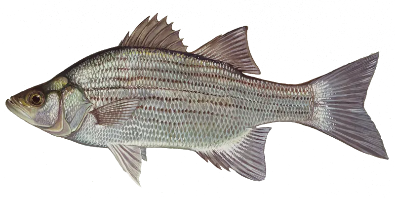
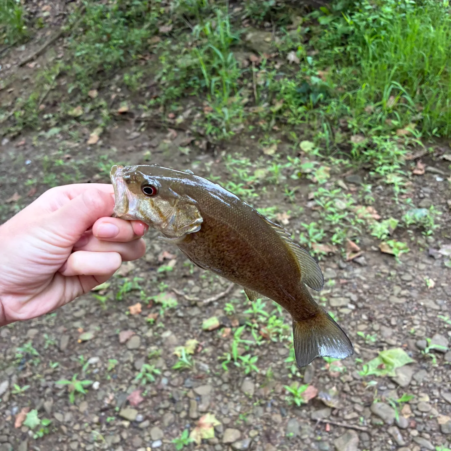
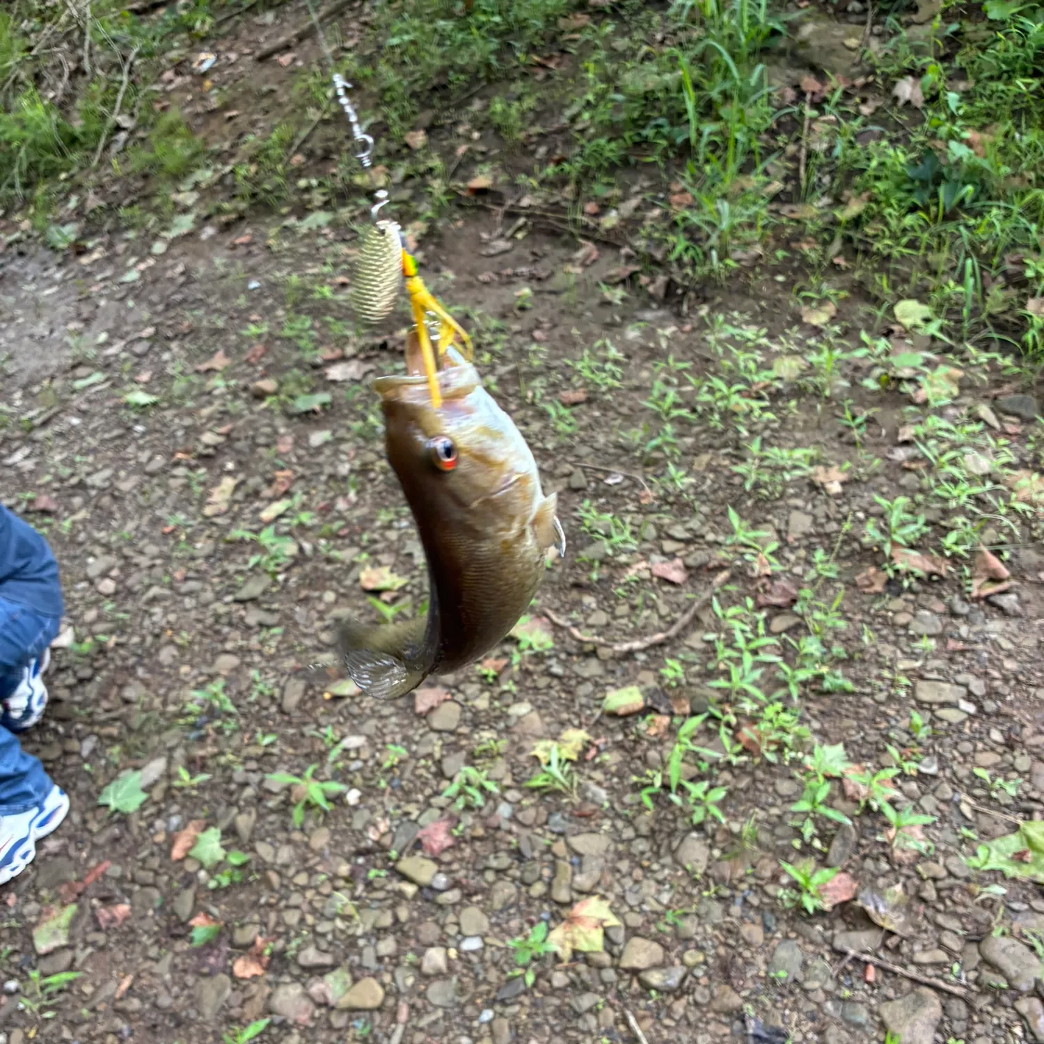
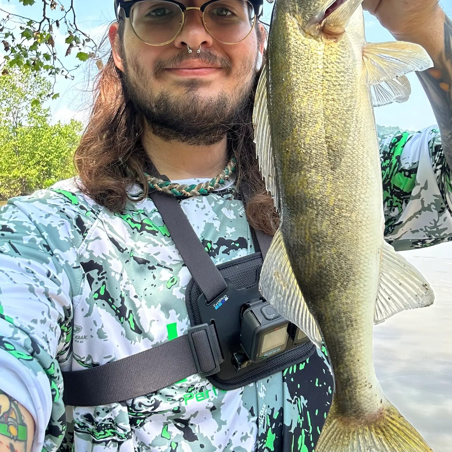
- Smallmouth bass - 12 members reported to have caught this fish
- White bass - 1 members reported to have caught this fish
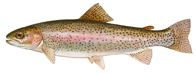
- Rainbow trout - 6 members reported to have caught this fish
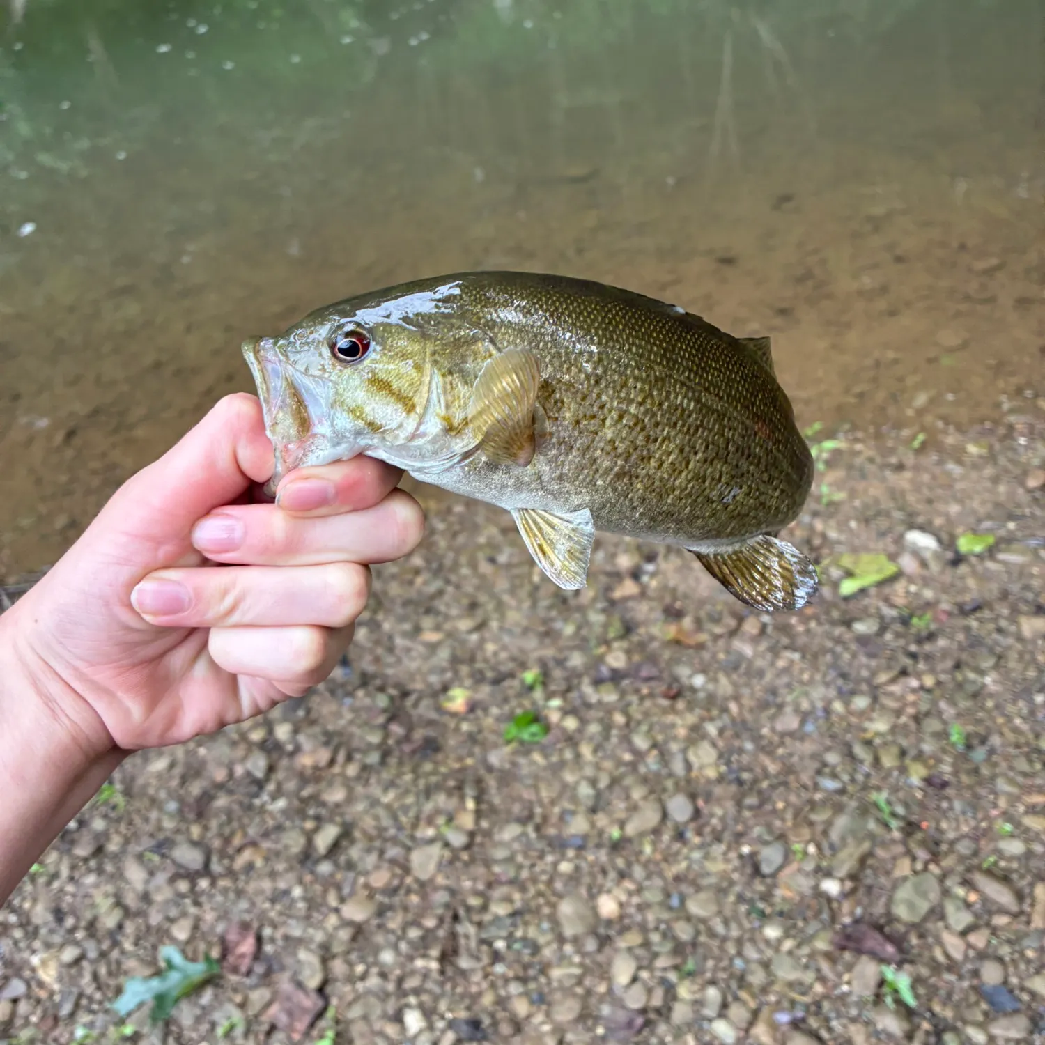
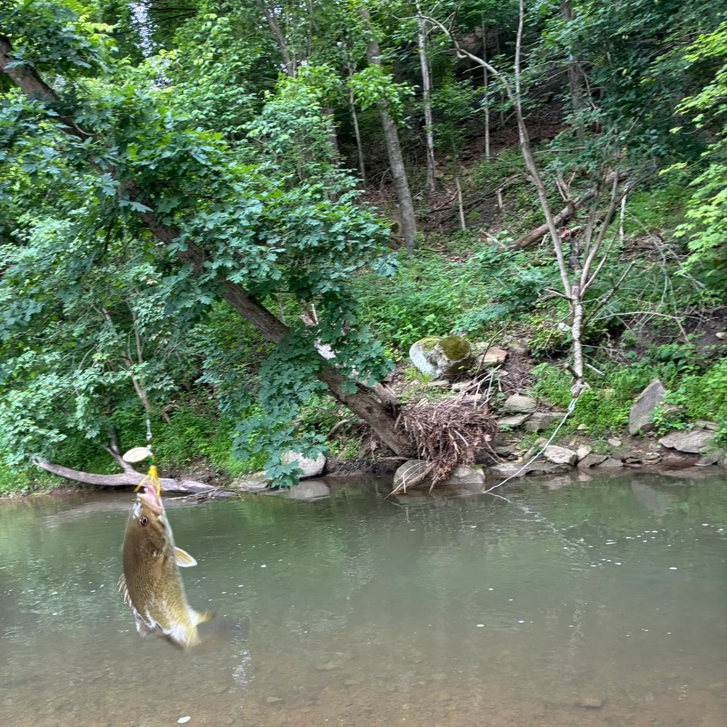
- @liam-donohue reported a nice Smallmouth bass.
- @liam-donohue reported a nice Smallmouth bass.
- @liam-donohue reported a nice Smallmouth bass.
- @liam-donohue reported a nice Smallmouth bass.
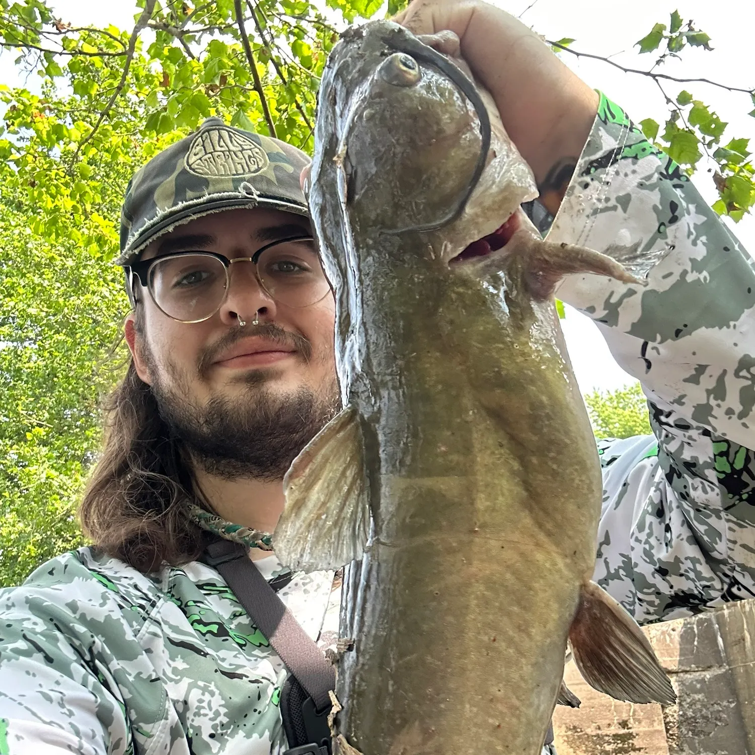
- @LippinRips reported a nice Channel catfish.
Free trial available