
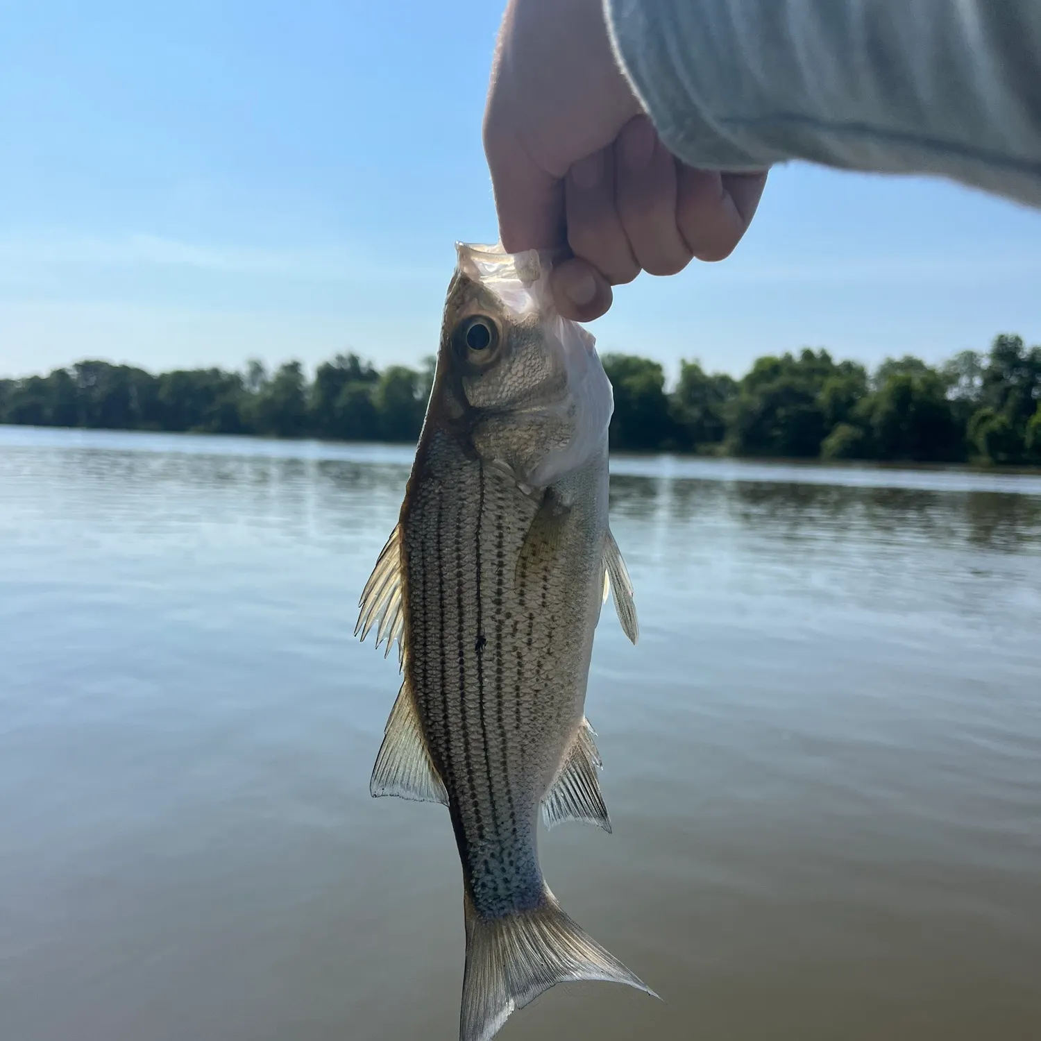
Top fish species at Lake Of The Ozarks

Check which species have trophy potential in Lake Of The Ozarks
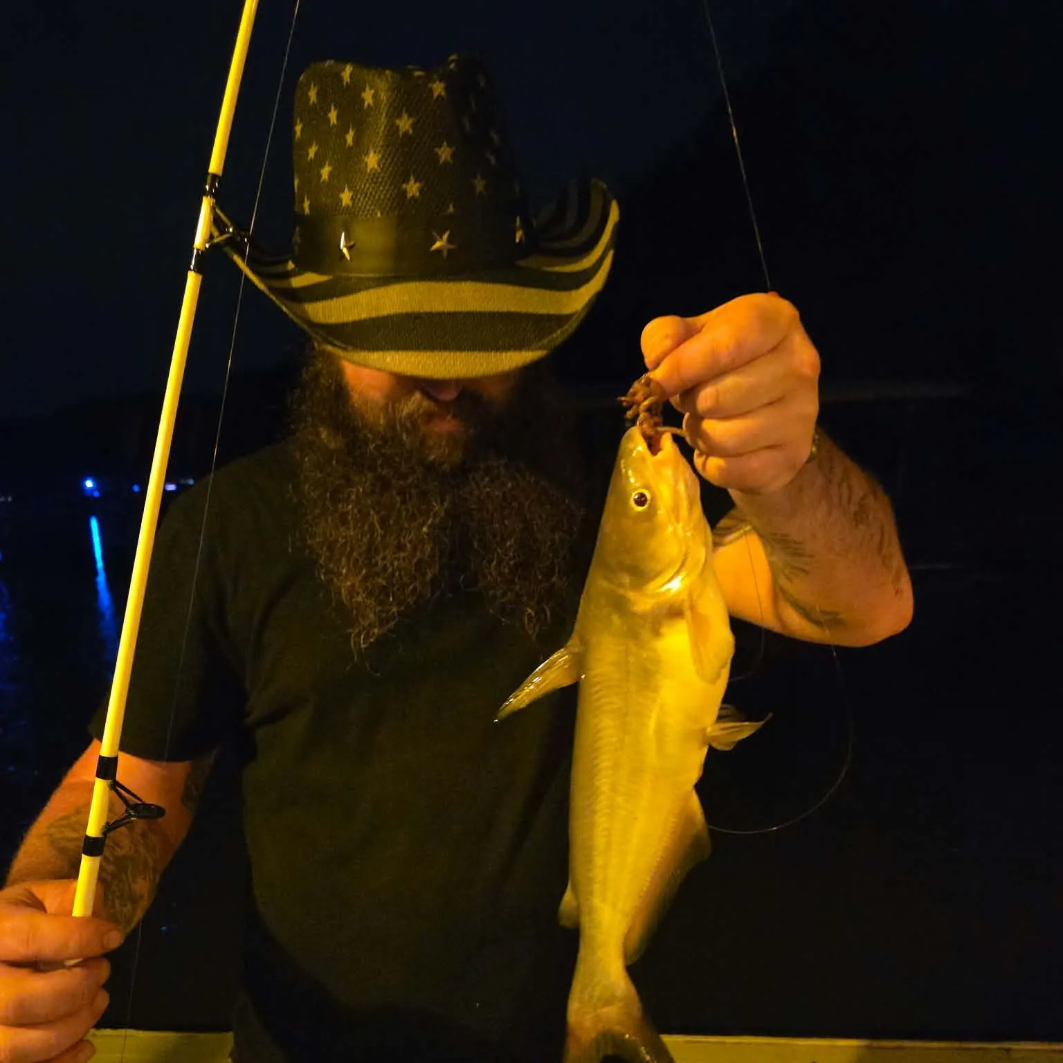
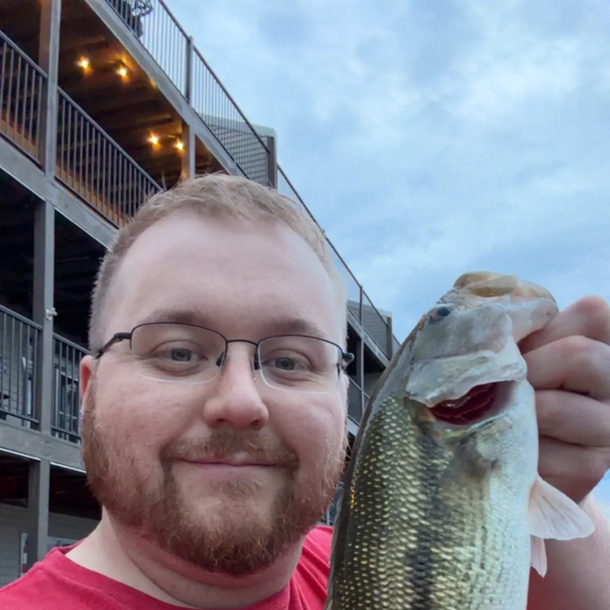
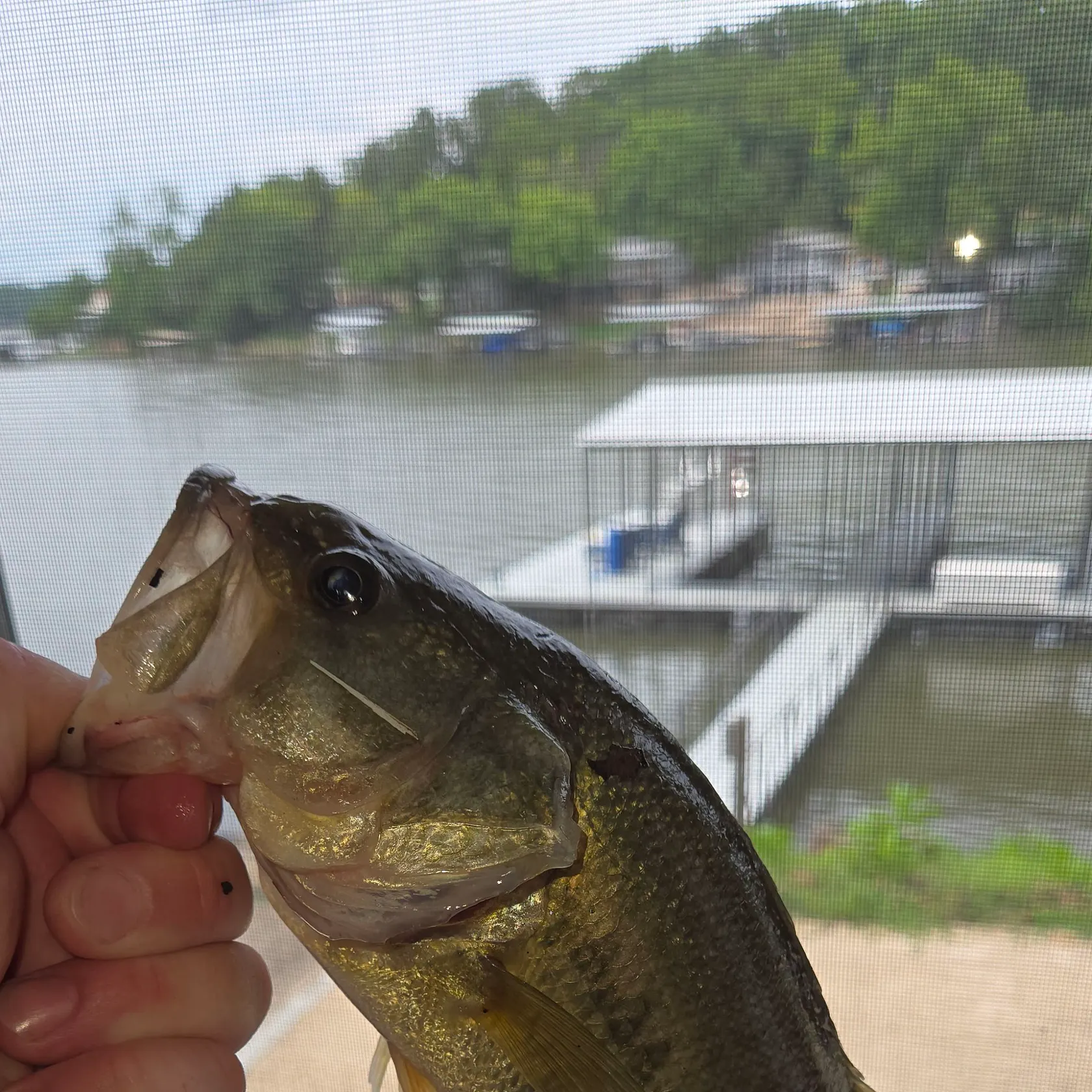
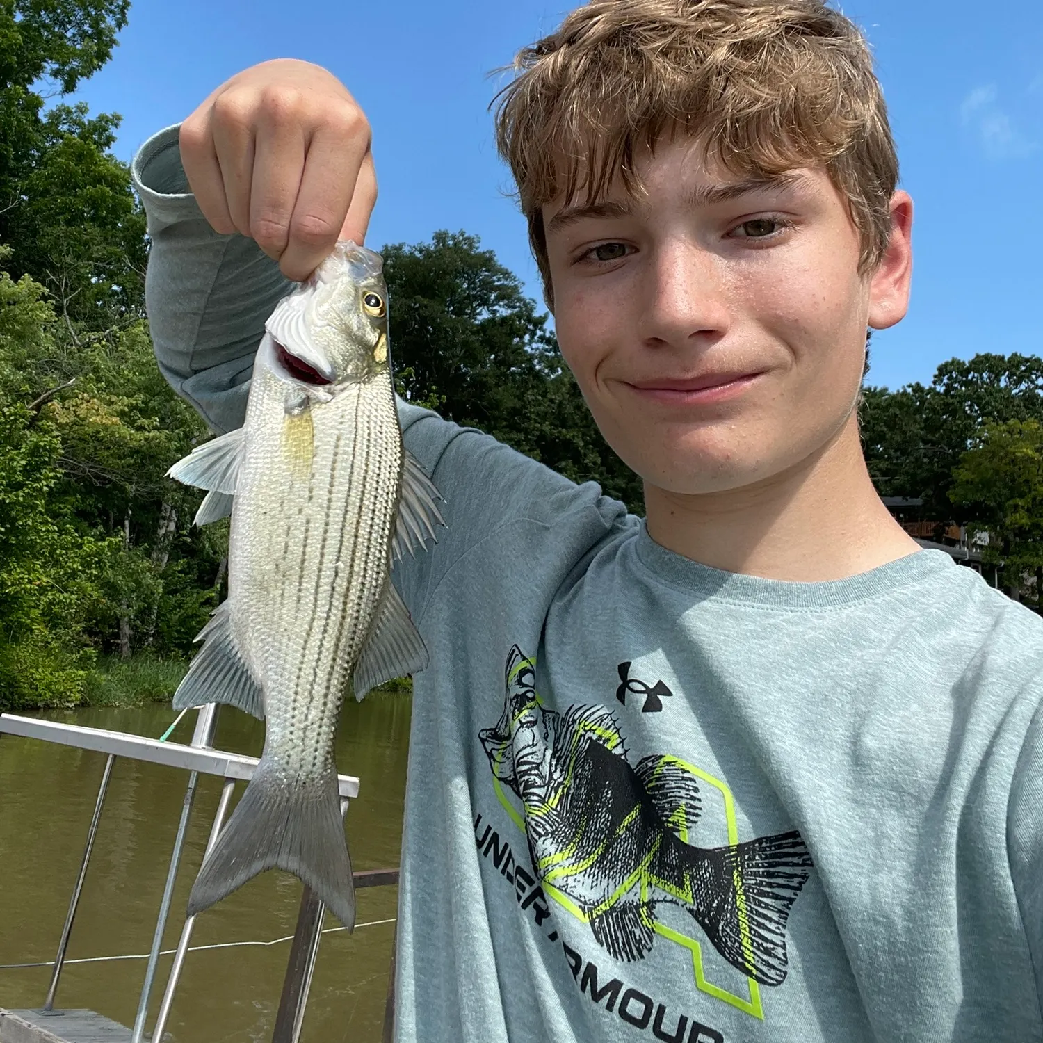
Lake Of The Ozarks fishing reports


Continue browsing catches and catch locations in the Fishbrain app
When are Largemouth Bass biting on Lake Of The Ozarks?
Learn what time of year and day to go fishing at Lake Of The Ozarks. Download Fishbrain today to look for new fishing spots, scout new fishing access, or prep for your next trip.

Fishing regulations at Lake Of The Ozarks, MO
Disclaimer: Always check local fishing regulations, water access rights and land ownership before fishing, regardless of any catches logged in that area by the Fishbrain community. Fishbrain has mapped millions of acres of government-owned land across the USA to help you identify potential fishing access, but you are responsible for ensuring compliance with all legal requirements.
Fishing regulations in Missouri can change throughout the year. Make sure to check this page before fishing for the most up to date rules and regulations for the current season. Local regulations govern when you can fish, the max size of the fish you can keep, how many fish you can keep, and more.
Regulations for top species

Largemouth bass
Bag limit6
The maximum number of individual fish legally harvested per harvester per day. Bag limits are only for properly licensed anglers actively harvesting the species. People who are not actively harvesting or are not properly licensed (if a license is required) may NOT be counted for the purpose of bag limits.
Min size12" (Total Length)
No person shall harvest any individual fish less than the minimum size limit.
Total length means the straight line distance from the most forward point of the head with the mouth closed, to the farthest tip of the tail with the tail compressed or squeezed, while the fish is lying on its side.
Aggregate limit6
The maximum number of individual fish across an aggregate group of species legally harvested per harvester per day.
Restrictions & requirements
Gigging
Harvest by gigging prohibited.
Snagging
Harvest of this species by snagging (snatch hooking) is prohibited.
Spears
Harvest of this species by "spearing" is prohibited. Spearing includes the catching or taking of a fish by bow hunting, gigging, spearfishing, or by any device used to capture a fish by piercing the body.
MO Explosives Chemicals Poison Electricity
No one may use any explosive, poison, chemical or electrical equipment to kill or stupefy fish. Such material or equipment may not be possessed on waters of the state or adjacent banks.
MO Hand Fishing
It also is illegal to attempt to take fish by hand, with or without a hook, and to intentionally leave or abandon any commonly edible portion of any fish.
MO Spearguns
Spearguns may not be possessed on unimpounded waters or adjacent banks, and spears may not be propelled by explosives.
Additional information
Special Season for Ozark Streams:
May 27, 2023 - February 29, 2024 State limits apply on all Ozark streams, except those with more specific regulations. View map of streams.
For more details please see https://mdc.mo.gov/fishing/species/black-bass
Big Piney River
From Slabtown Access to the Gasconade River:
Daily limit: 6 black bass including only 1 smallmouth bass.
Length limit: Smallmouth bass: minimum 15"
Big Piney River Special Management Area map
For more information see Black Bass special area restrictions
Big River
Mainstem and its tributaries, except as noted below:
Daily and possession limit: Black bass: 12 fish including no more than 6 largemouth bass and smallmouth bass, combined total of both species.
Size limit: Spotted bass: None
From the Council Bluff Lake Dam to the Meramec River:
Daily and possession limit: 12 black bass including no more than 6 largemouth bass and smallmouth bass, combined total of both species, may include only 1 smallmouth bass
Size limit: Smallmouth bass: minimum 15 inches
Big River Special Management Area map
For more information see Black Bass special area restrictions
Blue Springs Creek
Black bass: The daily and possession limit is 12 fish and may include no more than 6 largemouth bass and smallmouth bass, combined total of both species.
Spotted bass: No minimum length limit.
In Crawford County
The use of porous-soled waders is prohibited.
For more information see Black Bass special area restrictions
Blue Springs Lake
Length limit: Black bass: minimum 15"
Allowed methods: Pole and line fishing only, except that shad may be taken by dip net or throw net.
For more information see Black Bass special area restrictions
Bourbeuse River
Mainstem and its tributaries:
Spotted bass: No length limits
Black bass: The daily and possession limit is 12 fish and may include no more than 6 largemouth bass and smallmouth bass, combined total of both species.
For more information see Black Bass special area restrictions
Blue Shoals Lake
Lakewide: Ozark and Taney
Length limit: Black bass: minimum 15" on largemouth and smallmouth bass; minimum 12" on spotted bass
On the lake and its tributaries: Ozark, Taney, Christian, and Douglas
Daily limit: Striped bass: only 3 striped bass may be included in the aggregate
Length limit: Striped bass: minimum 20"
There are no length limits for white bass, yellow bass, or their hybrids.
From Powersite Dam to Highway 76: Taney
Prohibited Methods: Trotlines, throwlines and limb lines
For more information see Black Bass special area restrictions
Curtois Creek
Mainstem and its tributaries:
Daily limit: Black bass: 12 fish, including no more than 6 largemouth bass and smallmouth bass, combined total of both species
Length limit: Spotted bass: None
For more information see Black Bass special area restrictions
Eleven Point River
In Oregon County: The use of porous-soled waders is prohibited.
From Thomasville Access to the Arkansas line:
Smallmouth bass—15 inch minimum length limit. The daily limit of 6 black bass may include only 1 smallmouth bass.
For more information see Black Bass special area restrictions
Elk River
Length limits: Smallmouth bass—minimum 15"
Daily limit: Black bass—6, may include only 1 smallmouth bass.
Elk River Special Management Area map
For more information see Black Bass special area restrictions
Gasconade River
From Highway Y in Pulaski County to Highway D in Phelps County
Length limits: Smallmouth bass—minimum 15"
Daily limit: 6 black bass may include only 1 smallmouth bass.
Gasconade River Special Management Area map
For more information see Black Bass special area restrictions
Huzzah Creek
Mainstem and its tributaries:
Length limit: Spotted bass—none
Daily limit: 12 fish and including no more than 6 largemouth bass and smallmouth bass, combined total of both species.
For more information see Black Bass special area restrictions
Jacks Fork River
From Highway 17 to the Current River:
Length Limits: Smallmouth bass—minimum 15"
Daily Limit: 6 black bass including only 1 smallmouth bass.
Jacks Fork River Special Management Area map
For more information see Black Bass special area restrictions
James River
From Hooten Town bridge (the Loop Road at Route O) to the Highway 413/Highway 265 bridge at Galena
Length Limits:
Smallmouth bass—minimum 15"
Daily Limit: 6 black bass including only 1 smallmouth bass.
James River Special Management Area map
For more information see Black Bass special area restrictions
Joachim Creek
From Jefferson County Highway V bridge to Highway A bridge:
Length limits: Smallmouth bass— minimum 15"
Daily limit: 6 black bass, including only 1 smallmouth bass
Joachim Creek Special Management Area map
For more information see Black Bass special area restrictions
Lake of the Ozarks
Lakewide:
Length limit: Black bass: minimum 15" for largemouth and smallmouth bass; minimum 12" for spotted bass
On the lake and its tributaries:
Daily limit: Do not continue to snag, snare or grab for any species after taking a daily limit of 2 paddlefish.
Within 525 feet on the left descending bank and 977 feet on the right descending bank below Truman Dam in the U.S. Army Corps of Engineers' restricted zone:
Area note: No fishing is allowed.
From the downstream end of the no-fishing zone below Truman Dam to U.S. Highway 65:
Prohibited methods: Trotlines, throwlines, limb lines, jug lines, snagging, snaring and grabbing are prohibited.
For more information see Black Bass special area restrictions
Long Branch Lake
Length Limits: Black bass: minimum 15"
For more information see Black Bass special area restrictions
Longview Lake
Length limit: Black bass: minimum 15"
Allowed methods: Pole and line fishing only, except that shad may be taken by dip net or throw net.
For more information see Black Bass special area restrictions
Mark Twain Lake
Length limits: Black bass: minimum 15"
For more information see Black Bass special area restrictions
Meramec River
Black bass: Daily and possession limit is 12 fish and may include no more than 6 largemouth bass and smallmouth bass, combined total of both species.
Spotted bass: no minimum length limit
In Crawford and Phelps counties:
The use of porous-soled waders is prohibited.
From Highway 8 bridge to the railroad crossing at Bird's Nest:
Length limit: Smallmouth bass: 15 inch minimum.
Daily and possession limit: 12 black bass, which may include no more than 6 largemouth bass and smallmouth bass, combined total of both species, may include only 1 smallmouth bass.
Meramec River Special Management Area map
For more information see Black Bass special area restrictions
Mineral Fork
Mainstem and its tributaries, except as noted below:
Daily limit: Black bass—The daily and possession limit is 12 fish and may include no more than 6 largemouth bass and smallmouth bass, combined total of both species.
Length limit: Spotted bass—No minimum length limit
From Highway F in Washington County to the Big River:
Length limit: Smallmouth bass—minimum 15"
Daily limit: Daily and possession limit of 12 black bass, which may include no more than 6 largemouth bass and smallmouth bass, combined total of both species, may include only 1 smallmouth bass
Mineral Fork Special Management Area map
For more information see Black Bass special area restrictions
Mississippi River
This area encompasses the Mississippi River, including Pools 20-26, the temporary overflow waters east of the Missouri Pacific Railroad between Cape Girardeau and Scott City, and the temporary overflow waters east of the mainline and setback levees between Commerce and the Arkansas state line.
Mississippi River, including Pools 20-26
Length limits: Black bass: minimum 12"
Allowed methods: Limit of 2 poles per licensed angler. Limit of 50 hooks on a trotline
For more information see Black Bass special area restrictions
Montrose Lake
Daily Limit: Black bass: 2
Length limit: Black bass: minimum 18"
For more information see Black Bass special area restrictions
Norfork Lake
Lakewide:
Length limit: Black bass: minimum 15" on largemouth and smallmouth bass; minimum 12" on spotted bass
For more information see Black Bass special area restrictions
Osage Fork of the Gasconade River
From Skyline Drive bridge near Orla in Laclede County to the Gasconade River:
Daily limit: 6 black bass including only 1 smallmouth bass
Length limit: Smallmouth bass—minimum 15"
Osage Fork Special Management Area map
For more information see Black Bass special area restrictions
Pomme de Terre Lake
Length limits: Black bass: minimum 13"
For more information see Black Bass special area restrictions
Salt River
On the Clarence Cannon Reregulation Pool within 400 feet below Clarence Cannon Dam in the no-boating zone:
No fishing is allowed.
From the downstream end of the no-fishing zone below Clarence Cannon Dam to the posted power line crossing on the Clarence Cannon Reregulation Pool:
Allowed methods: Pole and line fishing only.
From the Clarence Cannon Reregulation Pool below Mark Twain Lake dam
Length limit: Black bass—minimum 12"
From all adjoining backwaters and from the main channel beginning 1,000 feet below the Clarence Cannon Reregulation Pool Dam to Route A:
Allowed methods: Fishing by pole and line and bow only
For more information see Black Bass special area restrictions
Smithville Lake
Length limits: Black bass: minimum 15"
For more information see Black Bass special area restrictions
Stockton Lake
Length limits: Black bass: minimum 15" length limit on largemouth and smallmouth bass; minimum 12" length limit on spotted bass.
For more information see Black Bass special area restrictions
Table Rock Lake
Lakewide:
Daily limit: Do not continue to snag, snare or grab for any species after taking a daily limit of 2 paddlefish.
Size limit: Black bass: minimum 15"
For more information see Black Bass special area restrictions
Ten Mile Creek
From Highway B in Carter County to Cane Creek
Length limits: Smallmouth bass—minimum 15"
Daily limit: 6 black bass including only 1 smallmouth bass.
Tenmile Creek Special Management Area map
For more information see Black Bass special area restrictions
Thomas Hill Lake
Length limits: Black bass: minimum 15"
For more information see Black Bass special area restrictions
Truman Lake
Lakewide
Size limit: Black bass: minimum 15" length limit on largemouth and smallmouth bass; minimum 12" length limit on spotted bass.
On the lake and its tributaries
Daily limit: Prohibited Methods: No person shall continue to snag, snare or grab for any species after taking a daily limit of 2 paddlefish.
For more information see Black Bass special area restrictions
Edibility
Synonyms

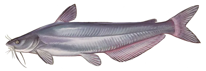
Channel catfish
Bag limit10
The maximum number of individual fish legally harvested per harvester per day. Bag limits are only for properly licensed anglers actively harvesting the species. People who are not actively harvesting or are not properly licensed (if a license is required) may NOT be counted for the purpose of bag limits.
Restrictions & requirements
Gigging
Harvest by gigging prohibited.
Snagging
Harvest of this species by snagging (snatch hooking) is prohibited.
Spears
Harvest of this species by "spearing" is prohibited. Spearing includes the catching or taking of a fish by bow hunting, gigging, spearfishing, or by any device used to capture a fish by piercing the body.
MO Explosives Chemicals Poison Electricity
No one may use any explosive, poison, chemical or electrical equipment to kill or stupefy fish. Such material or equipment may not be possessed on waters of the state or adjacent banks.
MO Hand Fishing
It also is illegal to attempt to take fish by hand, with or without a hook, and to intentionally leave or abandon any commonly edible portion of any fish.
MO Spearguns
Spearguns may not be possessed on unimpounded waters or adjacent banks, and spears may not be propelled by explosives.
Additional information
Bull Shoals Lake
Lakewide: Ozark and Taney
Daily limit:
Catfish (channel, blue and flathead): 10, combined total of these three species
From Powersite Dam to Highway 76: Taney
Prohibited Methods: Trotlines, throwlines and limb lines
For more information please see Catfish special area restrictions
Lake of the Ozarks
On the lake and its tributaries:
Daily limit:
Do not continue to snag, snare or grab for any species after taking a daily limit of 2 paddlefish.
Blue catfish: 10 fish daily and possession limit; the daily limit may not contain more than 2 blue catfish more than 34".
Length limit:
Blue catfish: 26" to 34" protected slot length limit; 10 fish daily and possession limit; the daily limit may not contain more than 2 blue catfish more than 34".
Within 525 feet on the left descending bank and 977 feet on the right descending bank below Truman Dam in the U.S. Army Corps of Engineers' restricted zone:
Area note: No fishing is allowed.
From the downstream end of the no-fishing zone below Truman Dam to U.S. Highway 65:
Prohibited methods: Trotlines, throwlines, limb lines, jug lines, snagging, snaring and grabbing are prohibited.
For more information please see Catfish special area restrictions
Mississippi River
This area encompasses the Mississippi River, including Pools 20-26, the temporary overflow waters east of the Missouri Pacific Railroad between Cape Girardeau and Scott City, and the temporary overflow waters east of the mainline and setback levees between Commerce and the Arkansas state line.
Mississippi River, including Pools 20-26
Daily limits:
Channel catfish and blue catfish: The daily and possession limit is 20, combined total of these species.
Flathead catfish: The daily and possession limit is 10 fish.
Length limits:
Limit of 2 poles per licensed angler
Limit of 50 hooks on a trotline
For more information please see Catfish special area restrictions
Table Rock Lake
Lakewide:
Daily limit:
Do not continue to snag, snare or grab for any species after taking a daily limit of 2 paddlefish.
Catfish (channel, blue and flathead): 10, combined total of these species
For more information please see Catfish special area restrictions
Truman Lake
On the lake and its tributaries
Daily limit:
Blue catfish: 10 fish daily and possession limit, with not more than 2 blue catfish more than 34".
Size limit:
Blue catfish: 26" to 34" protected slot length limit; the daily limit may not contain more than 2 blue catfish more than 34".
Prohibited Methods: No person shall continue to snag, snare or grab for any species after taking a daily limit of 2 paddlefish.
For more information please see Catfish special area restrictions
Edibility
Synonyms
Blue catfish
Bag limit5
The maximum number of individual fish legally harvested per harvester per day. Bag limits are only for properly licensed anglers actively harvesting the species. People who are not actively harvesting or are not properly licensed (if a license is required) may NOT be counted for the purpose of bag limits.
Restrictions & requirements
Gigging
Harvest by gigging prohibited.
Snagging
Harvest of this species by snagging (snatch hooking) is prohibited.
Spears
Harvest of this species by "spearing" is prohibited. Spearing includes the catching or taking of a fish by bow hunting, gigging, spearfishing, or by any device used to capture a fish by piercing the body.
MO Explosives Chemicals Poison Electricity
No one may use any explosive, poison, chemical or electrical equipment to kill or stupefy fish. Such material or equipment may not be possessed on waters of the state or adjacent banks.
MO Hand Fishing
It also is illegal to attempt to take fish by hand, with or without a hook, and to intentionally leave or abandon any commonly edible portion of any fish.
MO Spearguns
Spearguns may not be possessed on unimpounded waters or adjacent banks, and spears may not be propelled by explosives.
Additional information
Bull Shoals Lake
Lakewide: Ozark and Taney
Daily limit:
Catfish (channel, blue and flathead): 10, combined total of these three species
From Powersite Dam to Highway 76: Taney
Prohibited Methods: Trotlines, throwlines and limb lines
For more information please see Catfish special area restrictions
Lake of the Ozarks
On the lake and its tributaries:
Daily limit:
Do not continue to snag, snare or grab for any species after taking a daily limit of 2 paddlefish.
Blue catfish: 10 fish daily and possession limit; the daily limit may not contain more than 2 blue catfish more than 34".
Length limit:
Blue catfish: 26" to 34" protected slot length limit; 10 fish daily and possession limit; the daily limit may not contain more than 2 blue catfish more than 34".
Within 525 feet on the left descending bank and 977 feet on the right descending bank below Truman Dam in the U.S. Army Corps of Engineers' restricted zone:
Area note: No fishing is allowed.
From the downstream end of the no-fishing zone below Truman Dam to U.S. Highway 65:
Prohibited methods: Trotlines, throwlines, limb lines, jug lines, snagging, snaring and grabbing are prohibited.
For more information please see Catfish special area restrictions
Mississippi River
This area encompasses the Mississippi River, including Pools 20-26, the temporary overflow waters east of the Missouri Pacific Railroad between Cape Girardeau and Scott City, and the temporary overflow waters east of the mainline and setback levees between Commerce and the Arkansas state line.
Mississippi River, including Pools 20-26
Daily limits:
Channel catfish and blue catfish: The daily and possession limit is 20, combined total of these species.
Flathead catfish: The daily and possession limit is 10 fish.
Length limits:
Limit of 2 poles per licensed angler
Limit of 50 hooks on a trotline
For more information please see Catfish special area restrictions
Table Rock Lake
Lakewide:
Daily limit:
Do not continue to snag, snare or grab for any species after taking a daily limit of 2 paddlefish.
Catfish (channel, blue and flathead): 10, combined total of these species
For more information please see Catfish special area restrictions
Truman Lake
On the lake and its tributaries
Daily limit:
Blue catfish: 10 fish daily and possession limit, with not more than 2 blue catfish more than 34".
Size limit:
Blue catfish: 26" to 34" protected slot length limit; the daily limit may not contain more than 2 blue catfish more than 34".
Prohibited Methods: No person shall continue to snag, snare or grab for any species after taking a daily limit of 2 paddlefish.
For more information please see Catfish special area restrictions
Edibility
Synonyms


Free trial available