
Top fish species at Owyhee Lake


Check which species have trophy potential in Owyhee Lake
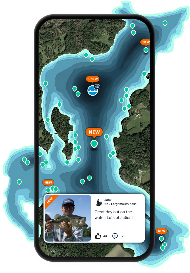
Owyhee Lake fishing reports

Continue browsing catches and catch locations in the Fishbrain app
When are Largemouth Bass biting on Owyhee Lake?
Learn what time of year and day to go fishing at Owyhee Lake. Download Fishbrain today to look for new fishing spots, scout new fishing access, or prep for your next trip.

Fishing regulations at Owyhee Lake, OR
Disclaimer: Always check local fishing regulations, water access rights and land ownership before fishing, regardless of any catches logged in that area by the Fishbrain community. Fishbrain has mapped millions of acres of government-owned land across the USA to help you identify potential fishing access, but you are responsible for ensuring compliance with all legal requirements.
Fishing regulations in Oregon can change throughout the year. Make sure to check this page before fishing for the most up to date rules and regulations for the current season. Local regulations govern when you can fish, the max size of the fish you can keep, how many fish you can keep, and more.
Below you will see fishing regulations for catching Largemouth bass as of March 30th, 2026. To view regulations for a different fish species, please click on your preferred species in the drop-down.
Seasons
Bag limit
Memorable
Measurement
Aggregate
Exceptions to Southeast Zone Regulations
Agency Lake
- Catch-and-release for rainbow trout.
- Artificial flies and lures only.
Ana Reservoir
- 1 hybrid bass per day, 15 inch minimum length.
Ana River
- 5 rainbow trout per day, 8 inch minimum length.
- Use of bait allowed.
Annie Creek
- Use of bait allowed.
Antelope Creek (Malheur Co.)
- Closed.
Big Alvord Creek
- Closed.
Blitzen River
- Malheur National Wildlife Refuge below Bridge Cr is Closed, except from Sodhouse Ln. to the bridge on The Boat Landing Rd Aug 1 - Sep 15.
Burnt River
- 5 rainbow trout per day, 8 inch minimum length.
- Use of bait allowed.
Calahan Creek
- Use of bait allowed.
Chewaucan River
Below Hwy 31 at Paisley
- Use of bait allowed.
Corral Creek
- Use of bait allowed.
Cottonwood Reservoir (Goose Lake Basin, Lake Co.)
- 1 rainbow trout per day, 15 inch minimum length.
Crater Lake National Park
- Angling is regulated by the National Park Service (541) 594-3000.
Crooked Creek (Klamath Co.)
- Open May 22 - Oct 31.
- Catch-and-release for rainbow trout.
- Closed from the springs at Klamath Hatchery downstream 1,000 ft to a posted fence crossing.
Crystal Creek
- Open May 22 - Oct 31.
- 1 rainbow trout per day, 15 inch minimum length.
- Artificial flies and lures only.
Denio Creek
- Closed.
Dog Lake
- 1 rainbow trout per day, 15 inch minimum length.
- 5 bass per day, only 1 bass over 15 inches may be harvested.
Drews Reservoir
- 1 rainbow trout per day, 15 inch minimum length.
Eagle Creek including East and West Forks
- 5 rainbow trout per day, 8 inch minimum length.
- Use of bait allowed.
Fort Creek
- Open May 22 - Oct 31.
- Catch-and-release for rainbow trout.
Fourmile Creek
- 1 rainbow trout per day, 15 inch minimum length.
- Use of bait allowed.
Goose Lake
- 1 rainbow trout per day, 15 inch minimum length.
Harriman Creek
- 1 rainbow trout per day, 15 inch minimum length.
- Use of bait allowed.
Indian Creek and Tributaries (Malheur/Harney Co.)
- Closed.
Jackson Creek
- Use of bait allowed.
Jordan Creek
- 5 trout per day, 8 inch minimum length.
- Use of bait allowed.
Klamath Lake
- 1 rainbow trout per day, 15 inch minimum length.
- Closed to all angling in Hagelstein Park.
Klamath River
- 1 rainbow trout per day, 12 inch minimum and 15 inch maximum length.
- Closed from Hwy 66 Bridge to Keno Dam Jun 16 - Sep 30.
Krumbo Creek
Below Krumbo Reservoir
- Closed.
Krumbo Reservoir
- Closed to ice fishing by Malheur National Wildlife Refuge (541) 493-2612.
Lake of the Woods
- 5 bass per day, only 1 bass over 15 inches may be harvested.
- Angling allowed 24 hours per day for all species.
Link River
- Catch-and-release for rainbow trout.
- Artificial flies and lures only.
Little Alvord Creek
- Closed.
Little McCoy Creek
- Closed.
Little Whitehorse Creek and Tributaries (Harney /Malheur Co.)
- Open year round.
- Catch-and-release for trout.
- Artificial flies and lures only.
Lost River and Tributaries
- Use of bait allowed.
Malheur River
Below Otis Creek
- 5 trout per day, 8 inch minimum length.
- Use of bait allowed.
Malheur River, North Fork Mouth to Beulah Reservoir
- 5 trout per day, 8 inch minimum length.
- Use of bait allowed.
Mann Lake
- 2 trout per day, 8 inch minimum length.
- Artificial flies and lures only.
- Closed to angling on tributaries.
Miller Creek (OutletofMillerLake, Klamath Co.)
- Use of bait allowed.
Miller Lake
- Angling allowed 24 hours per day for all species.
Mosquito Creek (Harney Co.)
- Closed.
Odessa Creek
- 1 rainbow trout per day, 15 inch minimum length.
- Use of bait allowed.
Owyhee River
- 5 rainbow trout per day, 8 inch minimum length.
- Catch-and-release for brown trout.
- Use of bait allowed.
Phillips Reservoir
- Catch-and-release for tiger muskie.
Pike Creek
- Closed.
Pine Creek and Tributaries (Baker Co.)
Above Oxbow Bridge
- 5 rainbow trout per day, 8 inch minimum length.
- Use of bait allowed.
Poison Creek Reservoir
- 2 trout per day, 8 inch minimum length.
Powder River
- 5 rainbow trout per day, 8 inch minimum length.
- Use of bait allowed.
Recreation Creek
- 1 rainbow trout per day, 15 inch minimum length.
- Use of bait allowed.
Sage Creek
- Closed.
Sand Creek
- Use of bait allowed.
Scott Creek
- Use of bait allowed.
Sevenmile Creek and Tributaries
- Catch-and-release for rainbow trout.
- Use of bait allowed above Nicholson Rd.
Short Creek
- 1 rainbow trout per day, 15 inch minimum length.
- Use of bait allowed.
Skull Creek (Harney Co.)
- Closed.
South Fork Sycan River
- Use of bait allowed.
Spencer Creek
- Open May 22 - Oct 31.
Sprague River
- Open Apr 22 – Oct 31.
- 1 rainbow trout per day, 15 inch minimum length.
- Use of bait allowed from Saddle Mt Pit Rd Bridge up to Godowa Springs Rd.
Sprague River, North Fork and Tributaries
- 2 brown trout per day.
- Use of bait allowed on the mainstem and tributaries above the lowermost 3372 Rd crossing.
Spring Creek (Klamath Co.)
- Open May 22 - Oct 31.
Thomason Creek
- 1 rainbow trout per day, 15 inch minimum length.
- Use of bait allowed.
Threemile Creek (Harney Co.)
- Closed.
Threemile Creek (Klamath Co.)
Above Westside Rd
- Closed.
Twin Lakes (Wallowa Mountains)
- 1 rainbow trout per day, 15 inch minimum length.
Unity Reservoir
- 5 bass per day, only 1 bass over 15 inches may be harvested.
- Closed within 200 ft of the dam Jan 1 - Mar31 and Dec 1-31.
Van Horn Creek
- Closed.
Watson Creek
- Use of bait allowed.
Whitehorse Creek and Tributaries (Trout Creek Mountains)
- Open year round.
- Catch-and-release for trout.
- Artificial flies and lures only.
Williamson River
Mouth to Chiloquin Bridge
- Open May 22 - Oct 31.
- Catch-and-release for rainbow trout.
- Only one single point hook may be used.
Chiloquin Bridge to Kirk Rd Bridge
- Open May 22 - Oct 31.
- Catch-and-release for rainbow trout.
- Only one single point hook may be used.
- No angling from a floating device.
Kirk Rd Bridge to headwaters
- Open Apr 22 - Oct 31.
- Catch-and-release for rainbow trout.
- Only one single point hook may be used.
- No angling from a floating device.
Willow Creek (East Steens)
- Closed.
Willow Creek and Tributaries (Trout Creek Mountains)
- Open year round.
- Catch-and-release for trout.
- Artificial flies and lures only.
Willow Valley Reservoir
- 5 bass per day, only 1 bass over 15 inches may be harvested.
Wood River
- Open Apr 22 - Oct 31.
- Catch-and-release for rainbow trout.
- 2 brown trout per day.
- Includes Petric Canal.
Lakes: 5 per day, 3 daily limits in possession unless noted under location exceptions. No limit in the southwest corner of the Southwest Zone (see map pg 68 Oregon Sport Fishing Regulations).
Streams: No limit.
- No more than 3 over 15 inches in length in lakes.
- No minimum length in streams.
- No size limit in the southwest corner of the Southeast Zone
- (See map pg 68 Oregon Sport Fishing Regulations).
- Angling restricted to artificial flies and lures in streams
- unless noted under location exceptions.
Lakes and Reservoirs: Open all year.
Streams: Open during trout season.
For more information please see Oregon Sport Fishing Regulations
Micropterus nigricans
Exceptions to Southeast Zone Regulations
Agency Lake
- Catch-and-release for rainbow trout.
- Artificial flies and lures only.
Ana Reservoir
- 1 hybrid bass per day, 15 inch minimum length.
Ana River
- 5 rainbow trout per day, 8 inch minimum length.
- Use of bait allowed.
Annie Creek
- Use of bait allowed.
Antelope Creek (Malheur Co.)
- Closed.
Big Alvord Creek
- Closed.
Blitzen River
- Malheur National Wildlife Refuge below Bridge Cr is Closed, except from Sodhouse Ln. to the bridge on The Boat Landing Rd Aug 1 - Sep 15.
Burnt River
- 5 rainbow trout per day, 8 inch minimum length.
- Use of bait allowed.
Calahan Creek
- Use of bait allowed.
Chewaucan River
Below Hwy 31 at Paisley
- Use of bait allowed.
Corral Creek
- Use of bait allowed.
Cottonwood Reservoir (Goose Lake Basin, Lake Co.)
- 1 rainbow trout per day, 15 inch minimum length.
Crater Lake National Park
- Angling is regulated by the National Park Service (541) 594-3000.
Crooked Creek (Klamath Co.)
- Open May 22 - Oct 31.
- Catch-and-release for rainbow trout.
- Closed from the springs at Klamath Hatchery downstream 1,000 ft to a posted fence crossing.
Crystal Creek
- Open May 22 - Oct 31.
- 1 rainbow trout per day, 15 inch minimum length.
- Artificial flies and lures only.
Denio Creek
- Closed.
Dog Lake
- 1 rainbow trout per day, 15 inch minimum length.
- 5 bass per day, only 1 bass over 15 inches may be harvested.
Drews Reservoir
- 1 rainbow trout per day, 15 inch minimum length.
Eagle Creek including East and West Forks
- 5 rainbow trout per day, 8 inch minimum length.
- Use of bait allowed.
Fort Creek
- Open May 22 - Oct 31.
- Catch-and-release for rainbow trout.
Fourmile Creek
- 1 rainbow trout per day, 15 inch minimum length.
- Use of bait allowed.
Goose Lake
- 1 rainbow trout per day, 15 inch minimum length.
Harriman Creek
- 1 rainbow trout per day, 15 inch minimum length.
- Use of bait allowed.
Indian Creek and Tributaries (Malheur/Harney Co.)
- Closed.
Jackson Creek
- Use of bait allowed.
Jordan Creek
- 5 trout per day, 8 inch minimum length.
- Use of bait allowed.
Klamath Lake
- 1 rainbow trout per day, 15 inch minimum length.
- Closed to all angling in Hagelstein Park.
Klamath River
- 1 rainbow trout per day, 12 inch minimum and 15 inch maximum length.
- Closed from Hwy 66 Bridge to Keno Dam Jun 16 - Sep 30.
Krumbo Creek
Below Krumbo Reservoir
- Closed.
Krumbo Reservoir
- Closed to ice fishing by Malheur National Wildlife Refuge (541) 493-2612.
Lake of the Woods
- 5 bass per day, only 1 bass over 15 inches may be harvested.
- Angling allowed 24 hours per day for all species.
Link River
- Catch-and-release for rainbow trout.
- Artificial flies and lures only.
Little Alvord Creek
- Closed.
Little McCoy Creek
- Closed.
Little Whitehorse Creek and Tributaries (Harney /Malheur Co.)
- Open year round.
- Catch-and-release for trout.
- Artificial flies and lures only.
Lost River and Tributaries
- Use of bait allowed.
Malheur River
Below Otis Creek
- 5 trout per day, 8 inch minimum length.
- Use of bait allowed.
Malheur River, North Fork Mouth to Beulah Reservoir
- 5 trout per day, 8 inch minimum length.
- Use of bait allowed.
Mann Lake
- 2 trout per day, 8 inch minimum length.
- Artificial flies and lures only.
- Closed to angling on tributaries.
Miller Creek (OutletofMillerLake, Klamath Co.)
- Use of bait allowed.
Miller Lake
- Angling allowed 24 hours per day for all species.
Mosquito Creek (Harney Co.)
- Closed.
Odessa Creek
- 1 rainbow trout per day, 15 inch minimum length.
- Use of bait allowed.
Owyhee River
- 5 rainbow trout per day, 8 inch minimum length.
- Catch-and-release for brown trout.
- Use of bait allowed.
Phillips Reservoir
- Catch-and-release for tiger muskie.
Pike Creek
- Closed.
Pine Creek and Tributaries (Baker Co.)
Above Oxbow Bridge
- 5 rainbow trout per day, 8 inch minimum length.
- Use of bait allowed.
Poison Creek Reservoir
- 2 trout per day, 8 inch minimum length.
Powder River
- 5 rainbow trout per day, 8 inch minimum length.
- Use of bait allowed.
Recreation Creek
- 1 rainbow trout per day, 15 inch minimum length.
- Use of bait allowed.
Sage Creek
- Closed.
Sand Creek
- Use of bait allowed.
Scott Creek
- Use of bait allowed.
Sevenmile Creek and Tributaries
- Catch-and-release for rainbow trout.
- Use of bait allowed above Nicholson Rd.
Short Creek
- 1 rainbow trout per day, 15 inch minimum length.
- Use of bait allowed.
Skull Creek (Harney Co.)
- Closed.
South Fork Sycan River
- Use of bait allowed.
Spencer Creek
- Open May 22 - Oct 31.
Sprague River
- Open Apr 22 – Oct 31.
- 1 rainbow trout per day, 15 inch minimum length.
- Use of bait allowed from Saddle Mt Pit Rd Bridge up to Godowa Springs Rd.
Sprague River, North Fork and Tributaries
- 2 brown trout per day.
- Use of bait allowed on the mainstem and tributaries above the lowermost 3372 Rd crossing.
Spring Creek (Klamath Co.)
- Open May 22 - Oct 31.
Thomason Creek
- 1 rainbow trout per day, 15 inch minimum length.
- Use of bait allowed.
Threemile Creek (Harney Co.)
- Closed.
Threemile Creek (Klamath Co.)
Above Westside Rd
- Closed.
Twin Lakes (Wallowa Mountains)
- 1 rainbow trout per day, 15 inch minimum length.
Unity Reservoir
- 5 bass per day, only 1 bass over 15 inches may be harvested.
- Closed within 200 ft of the dam Jan 1 - Mar31 and Dec 1-31.
Van Horn Creek
- Closed.
Watson Creek
- Use of bait allowed.
Whitehorse Creek and Tributaries (Trout Creek Mountains)
- Open year round.
- Catch-and-release for trout.
- Artificial flies and lures only.
Williamson River
Mouth to Chiloquin Bridge
- Open May 22 - Oct 31.
- Catch-and-release for rainbow trout.
- Only one single point hook may be used.
Chiloquin Bridge to Kirk Rd Bridge
- Open May 22 - Oct 31.
- Catch-and-release for rainbow trout.
- Only one single point hook may be used.
- No angling from a floating device.
Kirk Rd Bridge to headwaters
- Open Apr 22 - Oct 31.
- Catch-and-release for rainbow trout.
- Only one single point hook may be used.
- No angling from a floating device.
Willow Creek (East Steens)
- Closed.
Willow Creek and Tributaries (Trout Creek Mountains)
- Open year round.
- Catch-and-release for trout.
- Artificial flies and lures only.
Willow Valley Reservoir
- 5 bass per day, only 1 bass over 15 inches may be harvested.
Wood River
- Open Apr 22 - Oct 31.
- Catch-and-release for rainbow trout.
- 2 brown trout per day.
- Includes Petric Canal.
Regulations for

FAQ about Owyhee Lake fishing
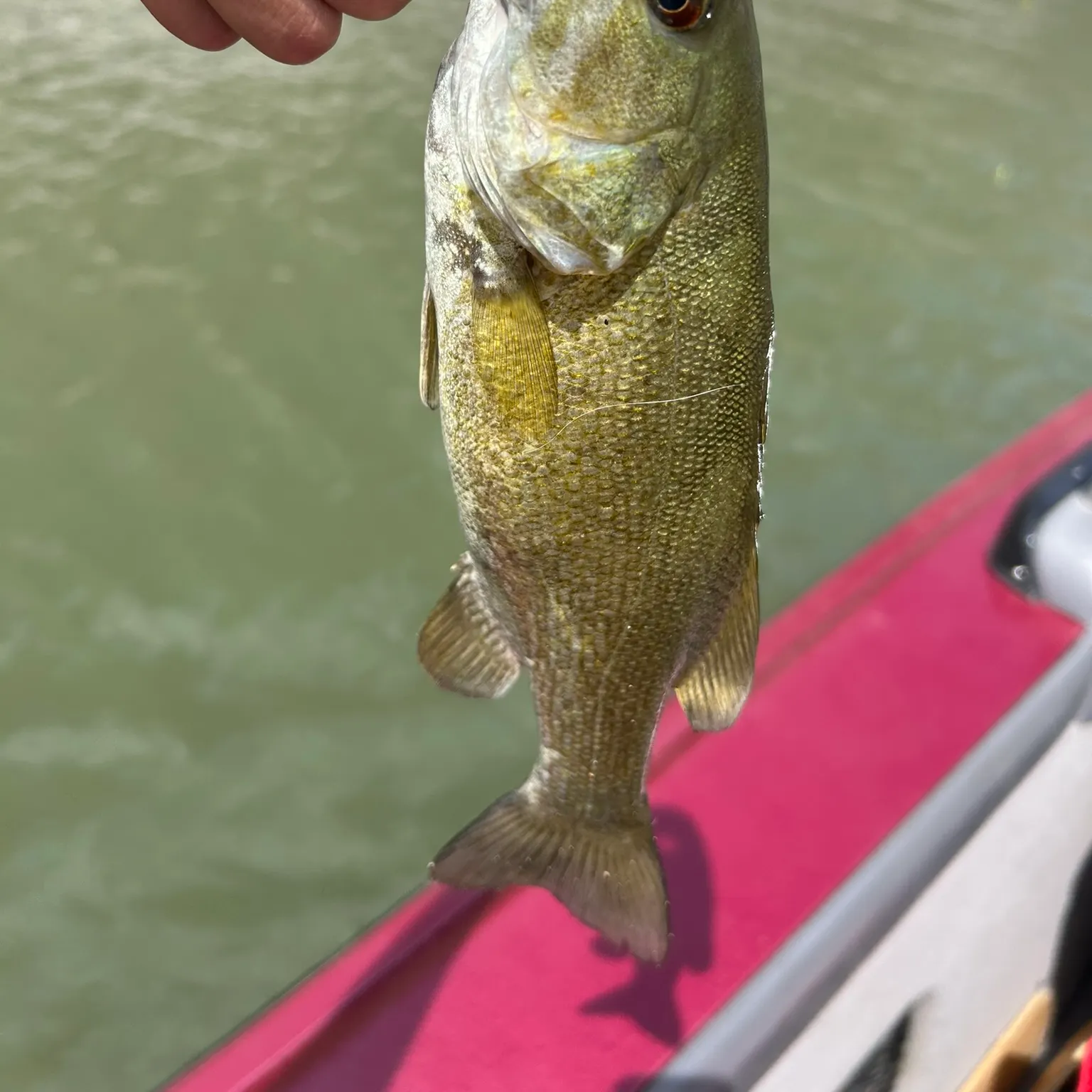
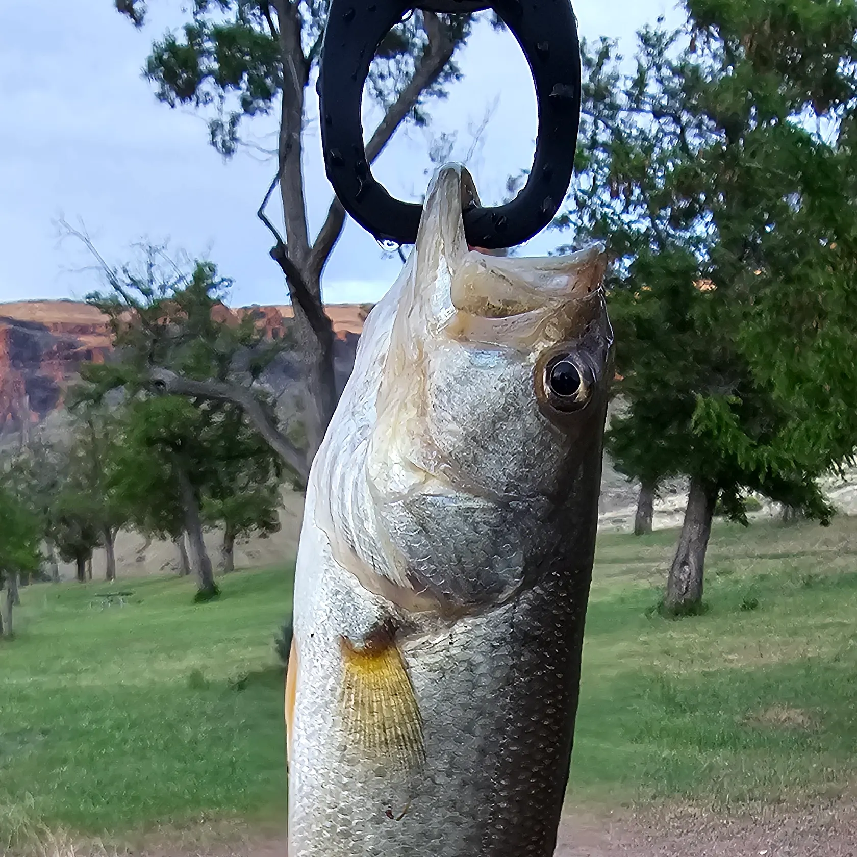
- Largemouth bass - 36 members reported to have caught this fish
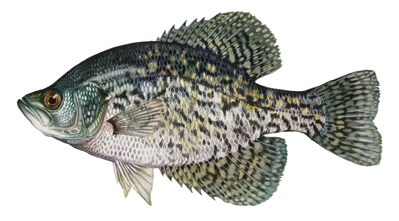
- Black crappie - 23 members reported to have caught this fish
- Smallmouth bass - 22 members reported to have caught this fish
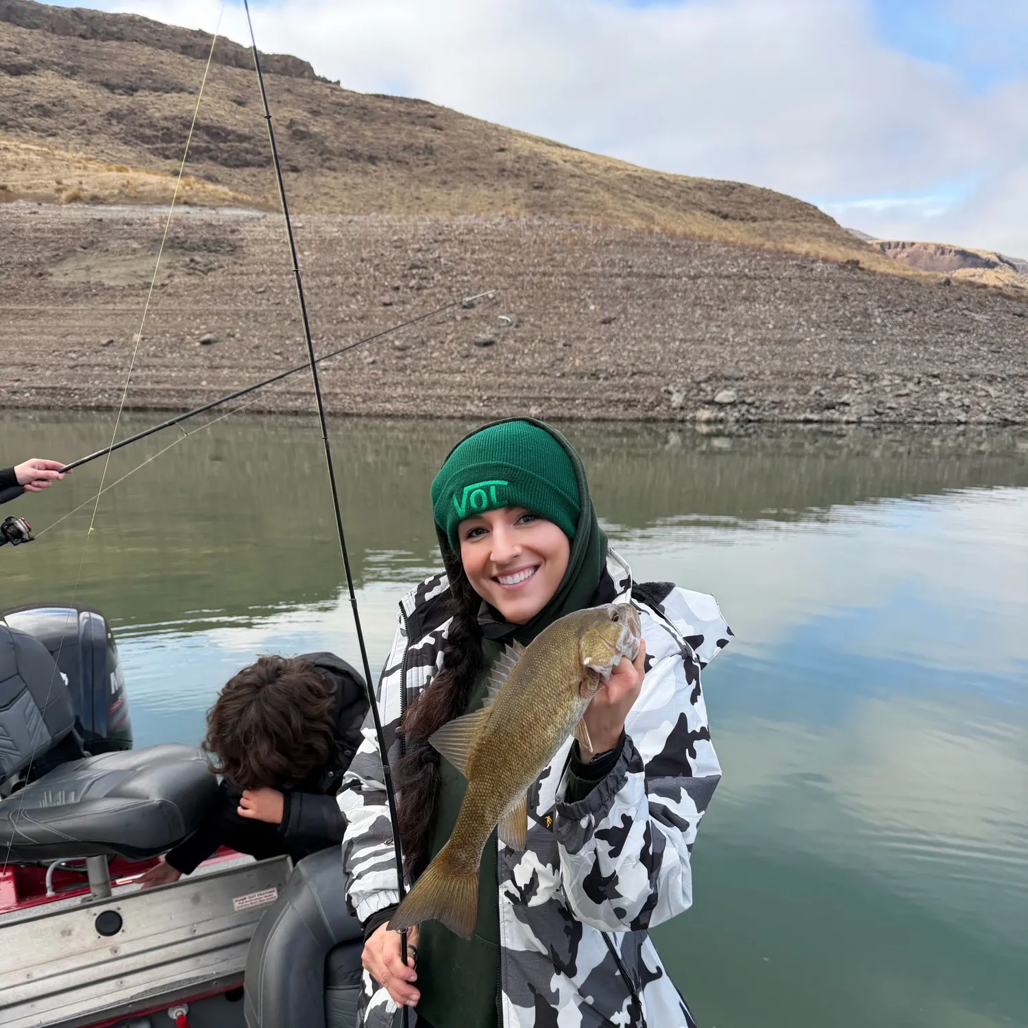
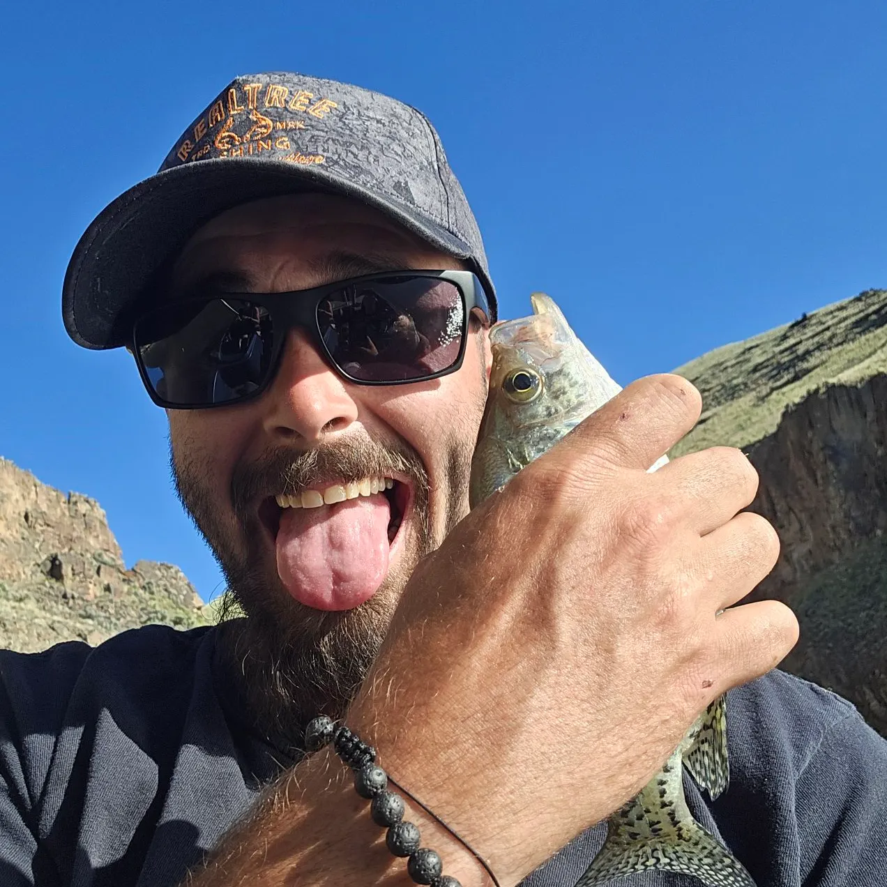
- @ashholewhatttt reported a nice Smallmouth bass.
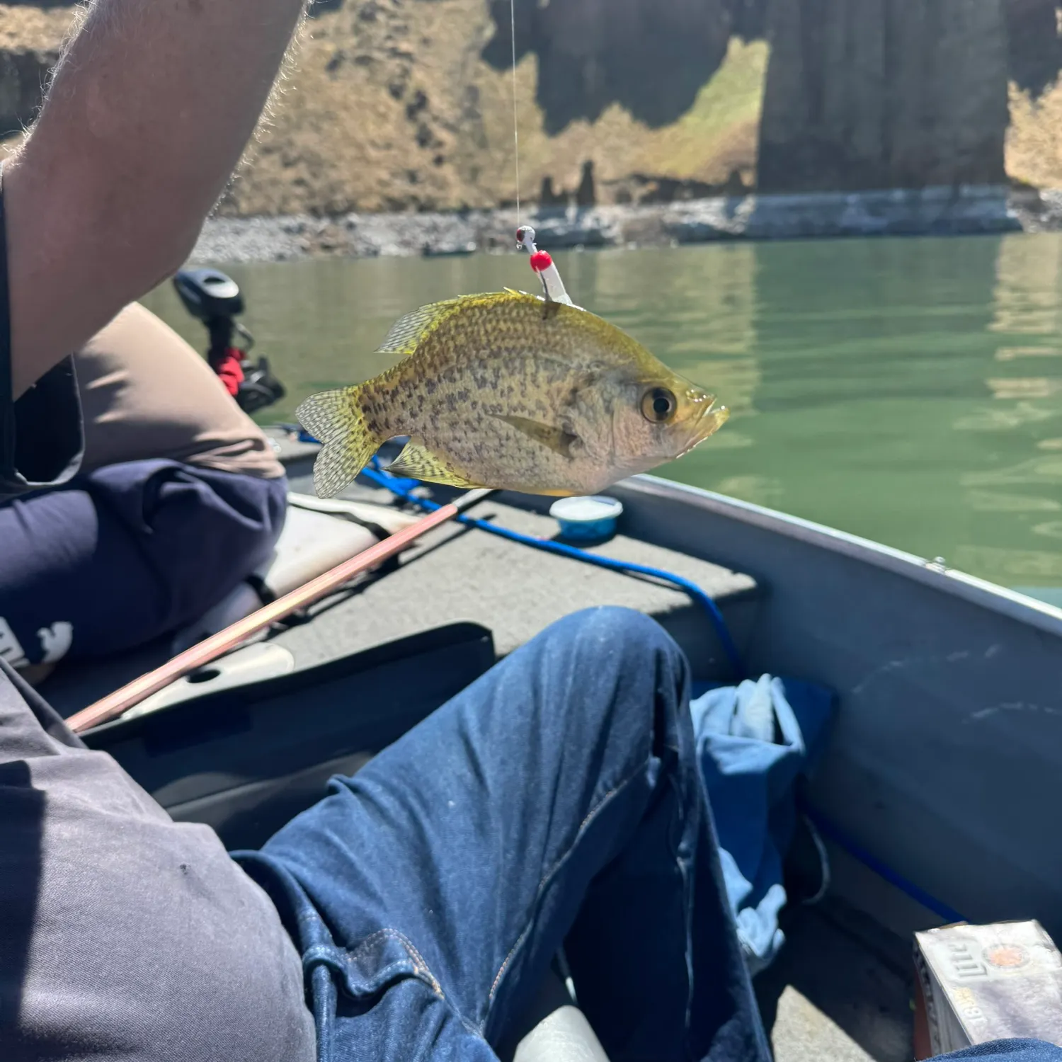
- @Fishwhisper_47 reported a nice Black crappie.
- @kalebhaun reported a nice Largemouth bass.
- @kalebhaun reported a nice Smallmouth bass.
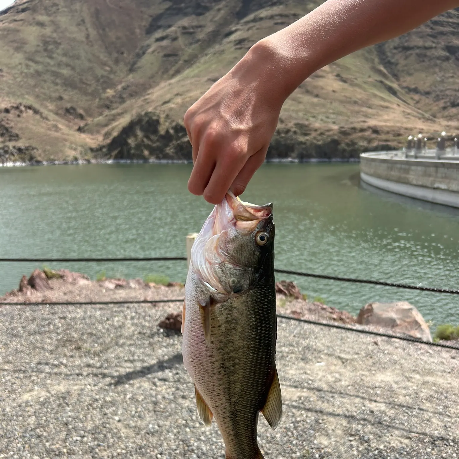
- @ty9415 reported a nice White crappie.
Free trial available