
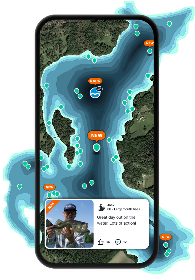
Logged catches
Top fish species at Kates Branch


Check which species have trophy potential in Kates Branch
Kates Branch fishing reports

Continue browsing catches and catch locations in the Fishbrain app
When are Largemouth Bass biting on Kates Branch?
Learn what time of year and day to go fishing at Kates Branch. Download Fishbrain today to look for new fishing spots, scout new fishing access, or prep for your next trip.

Fishing regulations at Kates Branch, AL
Disclaimer: Always check local fishing regulations, water access rights and land ownership before fishing, regardless of any catches logged in that area by the Fishbrain community. Fishbrain has mapped millions of acres of government-owned land across the USA to help you identify potential fishing access, but you are responsible for ensuring compliance with all legal requirements.
Fishing regulations in Alabama can change throughout the year. Make sure to check this page before fishing for the most up to date rules and regulations for the current season. Local regulations govern when you can fish, the max size of the fish you can keep, how many fish you can keep, and more.
Below you will see fishing regulations for catching Largemouth bass as of April 1st, 2026. To view regulations for a different fish species, please click on your preferred species in the drop-down.
Seasons
Bag limit
Aggregate
Daily Creel Limit = 10 Largemouth Bass as part of the 10 Black Bass aggregate limit, which includes combinations of largemouth, smallmouth, spotted, Alabama, shoal and those species formerly known as "redeye" bass, which are now known separately as Coosa, Warrior, Cahaba, Tallapoosa and Chattahoochee bass, based on their respective drainages. The Alabama bass was formerly known as spotted bass in the Mobile drainage.
Guntersville Reservoir and Its Tributary of Town Creek: It is illegal to possess any largemouth or smallmouth bass less than 15 inches in total length.
Harris Reservoir: It is illegal to possess any largemouth bass between 13 inches and 16 inches in total length.
Lake Jackson at Florala: Creel limit of five black bass greater than 12 inches in total length. Only one of the five can be over 22 inches in total length.
Lewis Smith Reservoir: It is illegal to possess any black bass between 13 inches and 15 inches in total length.
Little Bear Creek Reservoir of the B.C.D.A. Lakes: It is illegal to possess largemouth bass between 13 inches and 16 inches in total length.
Pickwick Reservoir: It is illegal to possess any smallmouth bass or largemouth bass less than 15 inches in total length.
Walter F. George Reservoir (Lake Eufaula) and its Tributaries: It is illegal to possess any largemouth bass less than 14 inches in total length.
West Point Reservoir and its Tributaries: It is illegal to possess any largemouth bass less than 14 inches in total length.
Wilson Reservoir and Its Tributaries of Big Nance and Town Creeks: It is illegal to possess any smallmouth bass less than 15 inches in total length.
Micropterus nigricans
Regulations for

FAQ about Kates Branch fishing
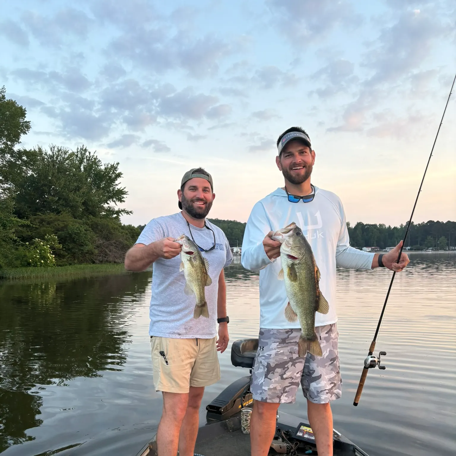
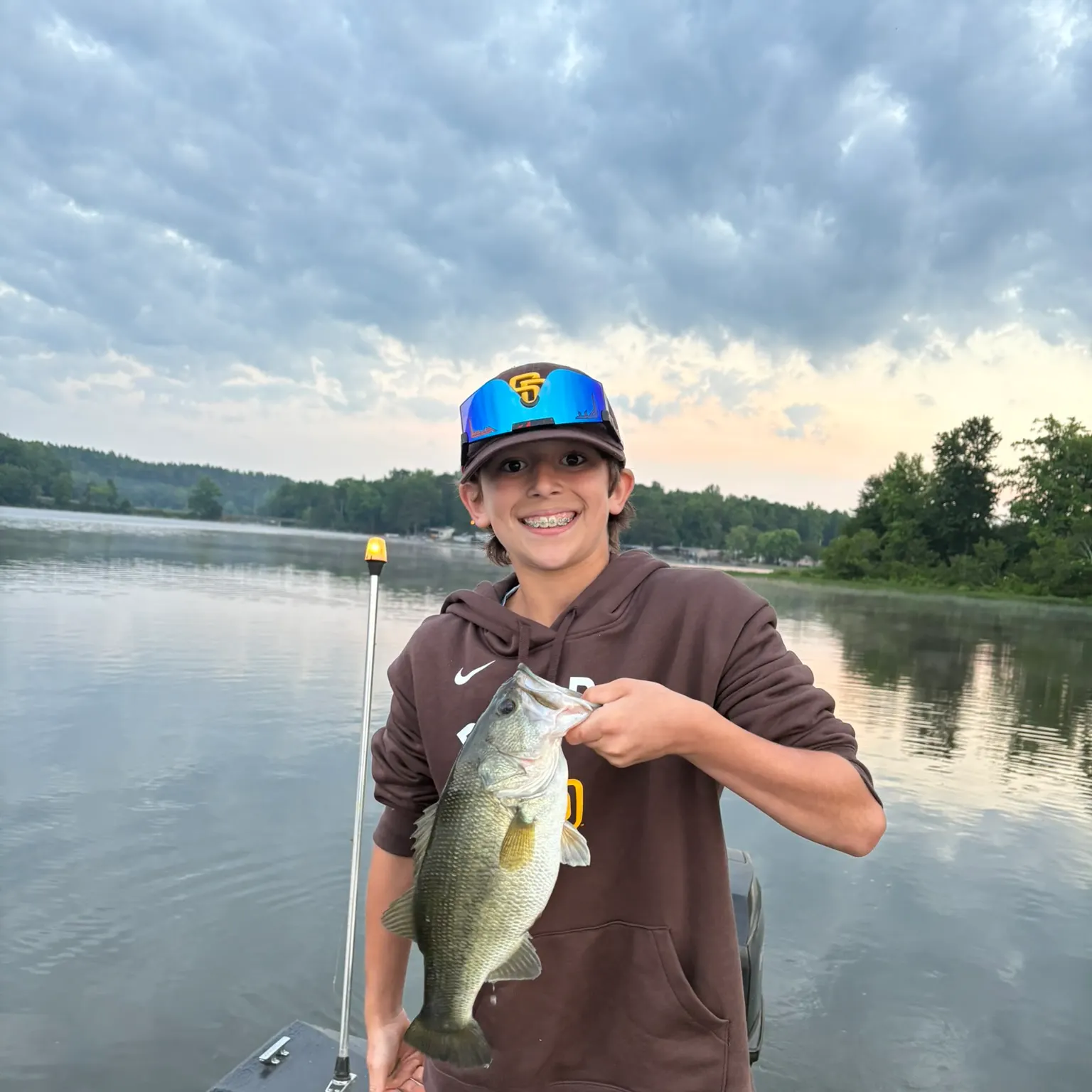
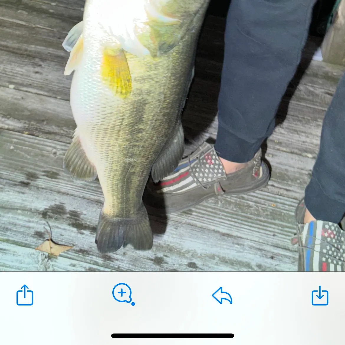
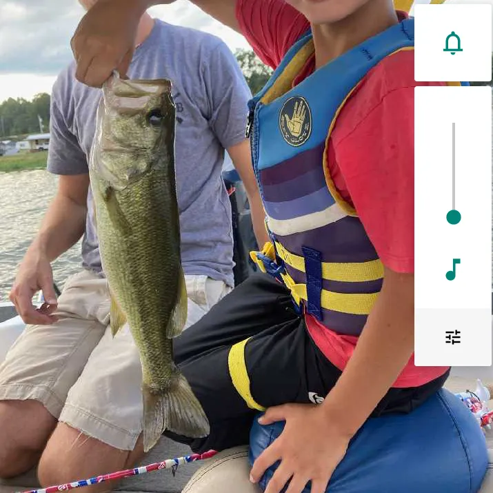
- Largemouth bass - 15 members reported to have caught this fish
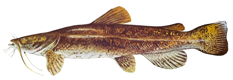
- Flathead catfish - 2 members reported to have caught this fish
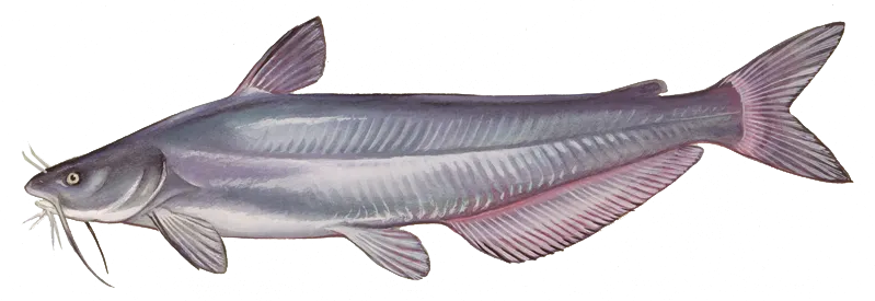
- Blue catfish - 2 members reported to have caught this fish
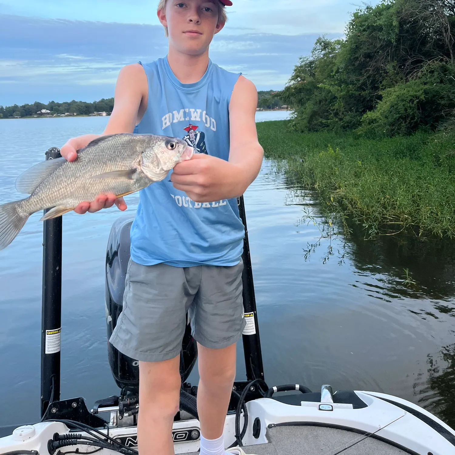
- @grayson16 reported a nice Freshwater drum.
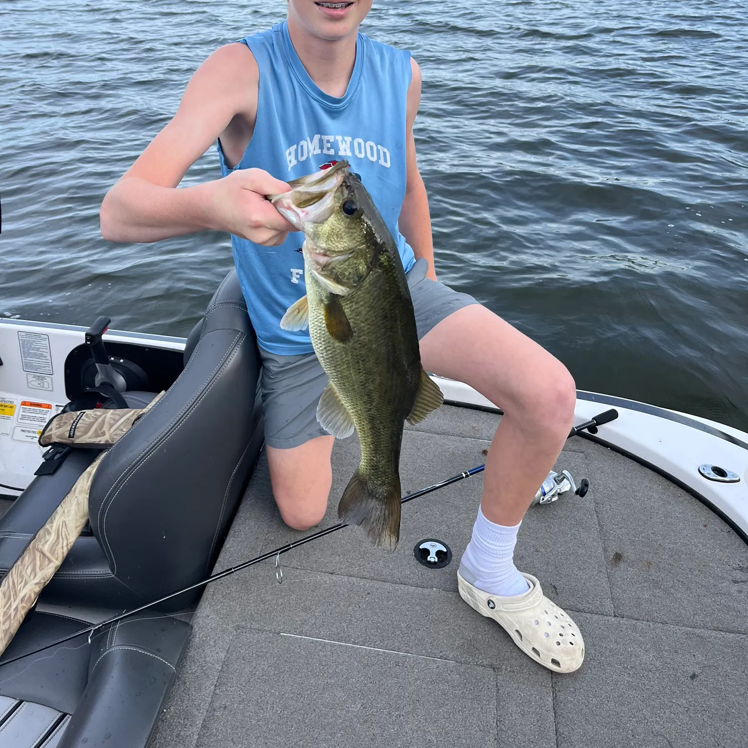
- @grayson16 reported a nice Largemouth bass.
- @The_fishy_finder reported a nice Largemouth bass.
- @The_fishy_finder reported a nice Largemouth bass.
- @codyallen2247 reported a nice Largemouth bass.
Free trial available