
Gulf Intracoastal Waterway
Fishing spots, fishing reports, and regulations in
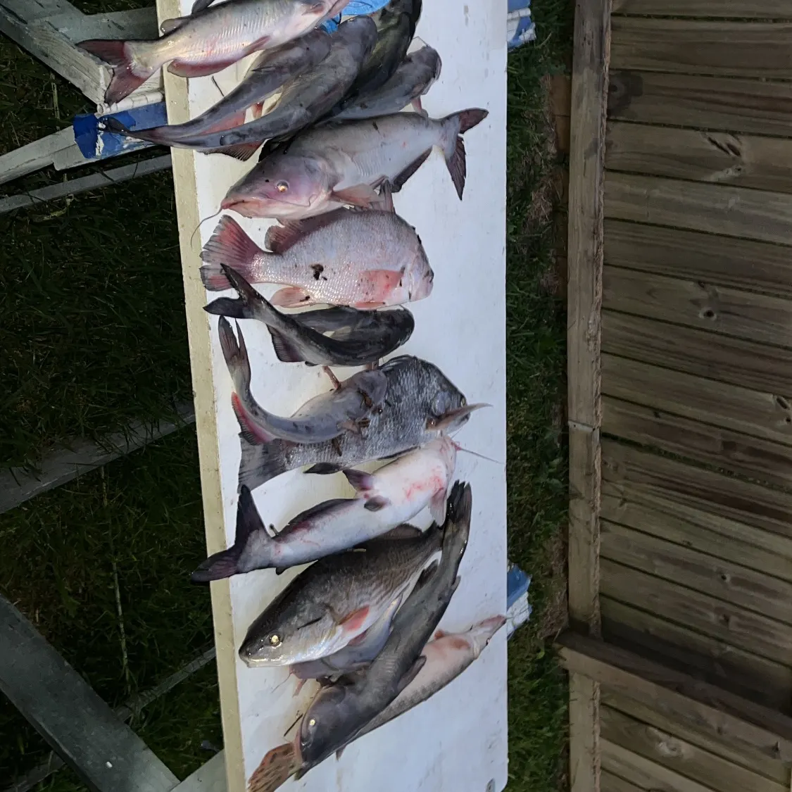
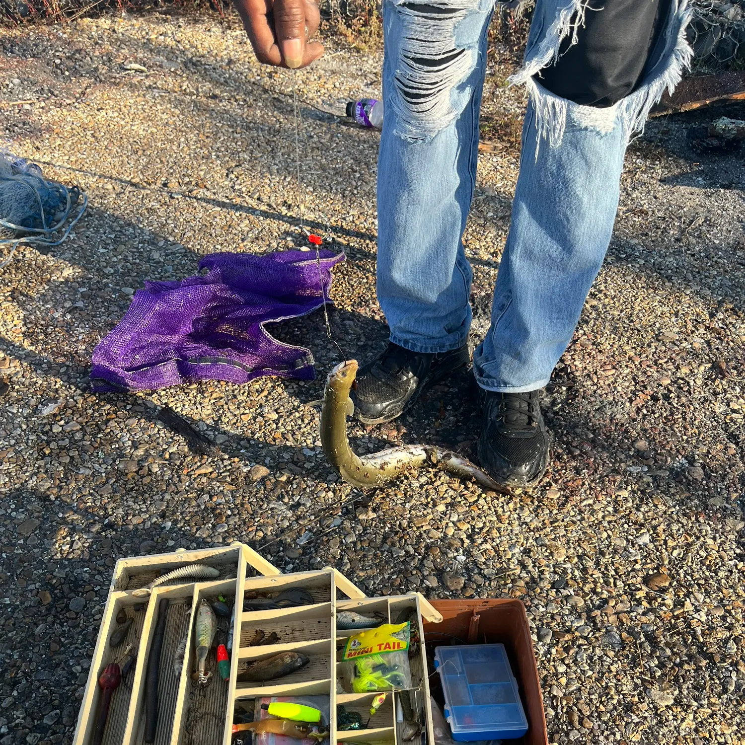
Logged catches
Top fish species at Gulf Intracoastal Waterway

Check which species have trophy potential in Gulf Intracoastal Waterway
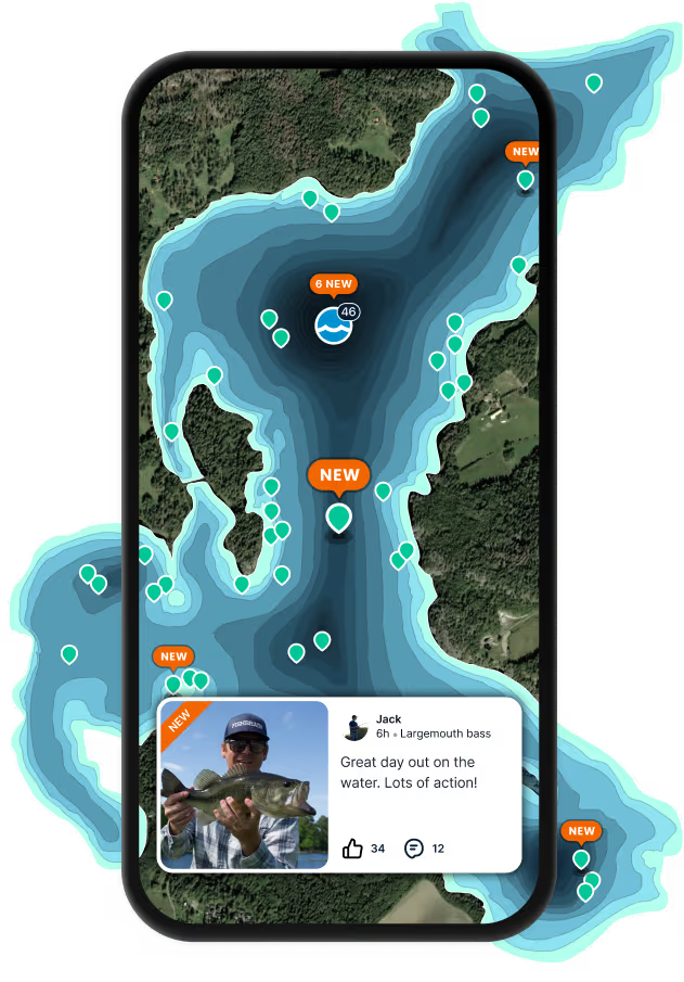
Gulf Intracoastal Waterway fishing reports

Continue browsing catches and catch locations in the Fishbrain app
Fishing regulations at Gulf Intracoastal Waterway, LA
Disclaimer: Always check local fishing regulations, water access rights and land ownership before fishing, regardless of any catches logged in that area by the Fishbrain community. Fishbrain has mapped millions of acres of government-owned land across the USA to help you identify potential fishing access, but you are responsible for ensuring compliance with all legal requirements.
Fishing regulations in Louisiana can change throughout the year. Make sure to check this page before fishing for the most up to date rules and regulations for the current season. Local regulations govern when you can fish, the max size of the fish you can keep, how many fish you can keep, and more.
Below you will see fishing regulations for catching Red drum as of April 1st, 2026. To view regulations for a different fish species, please click on your preferred species in the drop-down.
Seasons
Bag limit
Min size
Max size
Measurement
Beginning June 20, 2024 keeping Red Drum over 27 inches total length is prohibited.
Charter captains and crew will still be allowed to engage in fishing on charter trips to demonstrate how to catch red drum, but will not be allowed to retain red drum towards any limit on the vessel. For more information on the status of the Red Drum stock in Louisiana, visit https://www.wlf.louisiana.gov/page/hot-topic-red-drum.
Harvest in federal waters prohibited. Recreational saltwater anglers may possess a two days' bag limit on land; however, no person shall be in possession of fish over the daily bag limit in any one day or while fishing or while on the water, unless that recreational saltwater angler is aboard a trawler engaged in commercial fishing for a consecutive period of longer than 25 hours. Take or possession of red drum if federal waters is prohibited. The possession limit for red drum and spotted seatrout taken south of U.S. Hwy 90 shall be three times the daily take limit when the fisherman holds and is in possession of a valid recreational fishing license and can show a landing receipt from a public boat launch located south of U.S. Hwy 90 that demonstrates to the satisfaction of the department that the fisherman has been actively on the water or at a remote camp that can be accessed only by water for two days or more. The fish shall be kept whole or whole gutted in separate bags for each species of fish. The bags shall be marked with the date the fish were taken, the species, the number of fish contained in the bag, and the name and license number of the person taking the fish. The fish shall only be in the possession of the person who took the fish. However, no fisherman shall be actively fishing or engaged in fishing while in possession of more than the daily take limit.
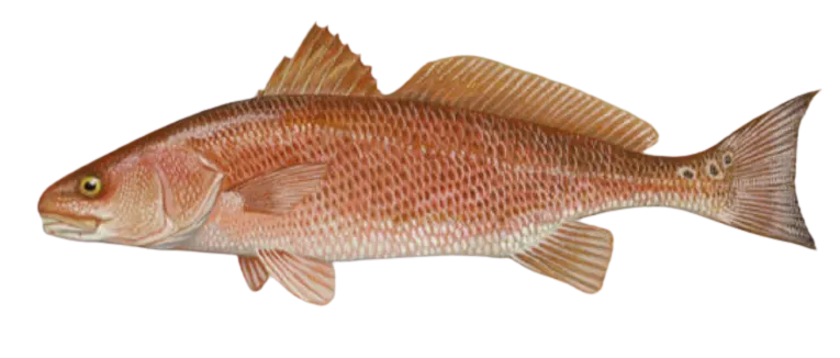
Channel Bass, Redfish, Sciaenops ocellatus, Spottail Bass
Regulations for

FAQ about Gulf Intracoastal Waterway fishing
- Red drum - 12 members reported to have caught this fish
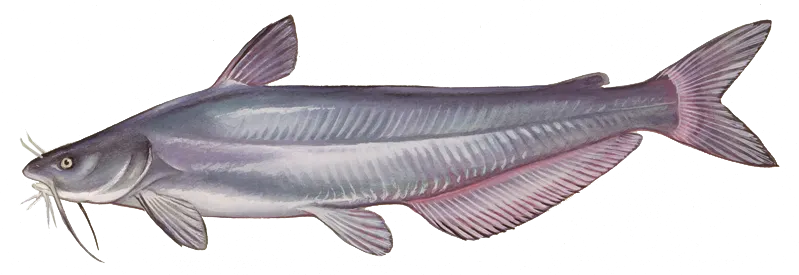
- Blue catfish - 9 members reported to have caught this fish
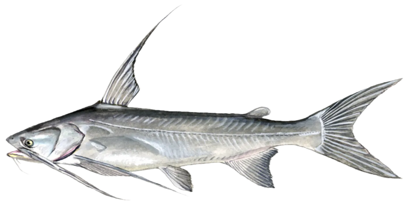
- Gafftopsail sea catfish - 4 members reported to have caught this fish
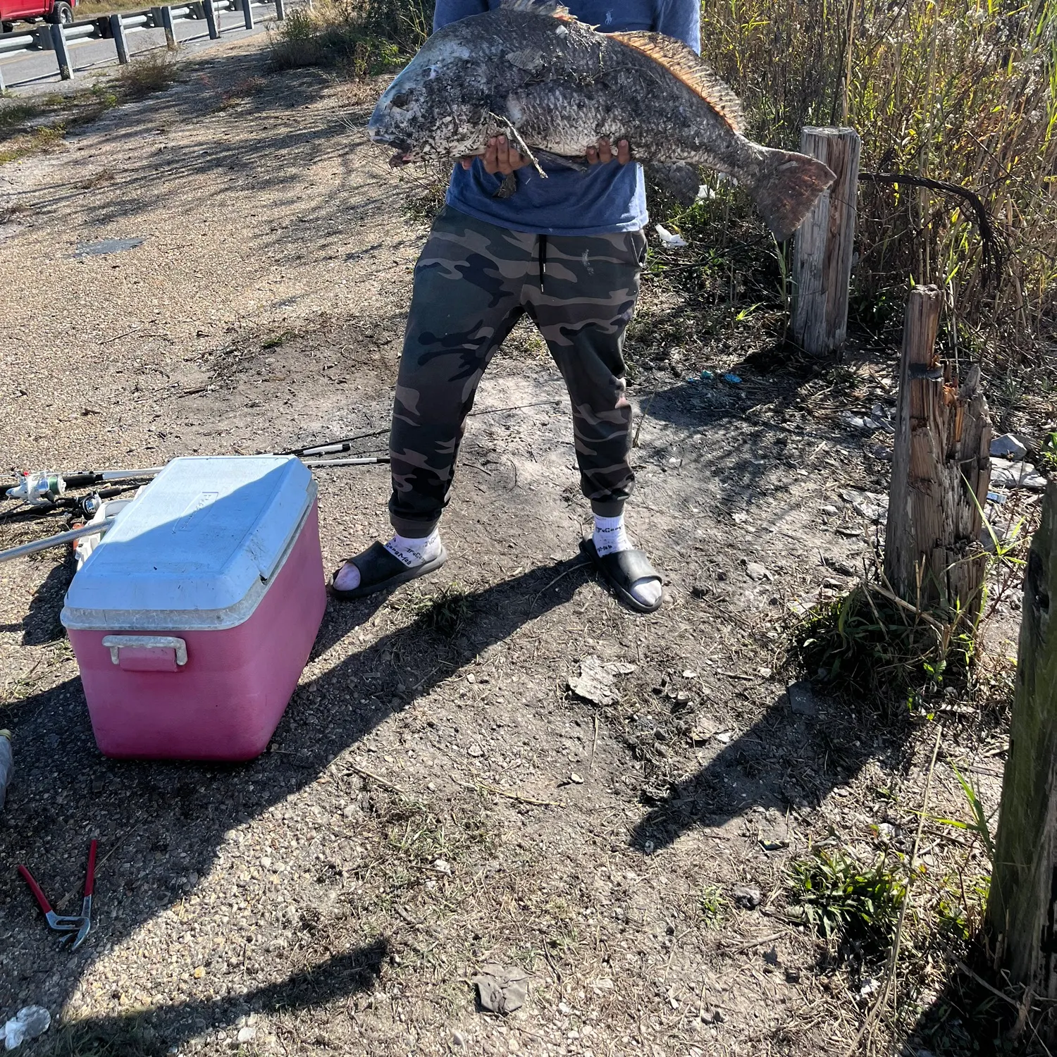
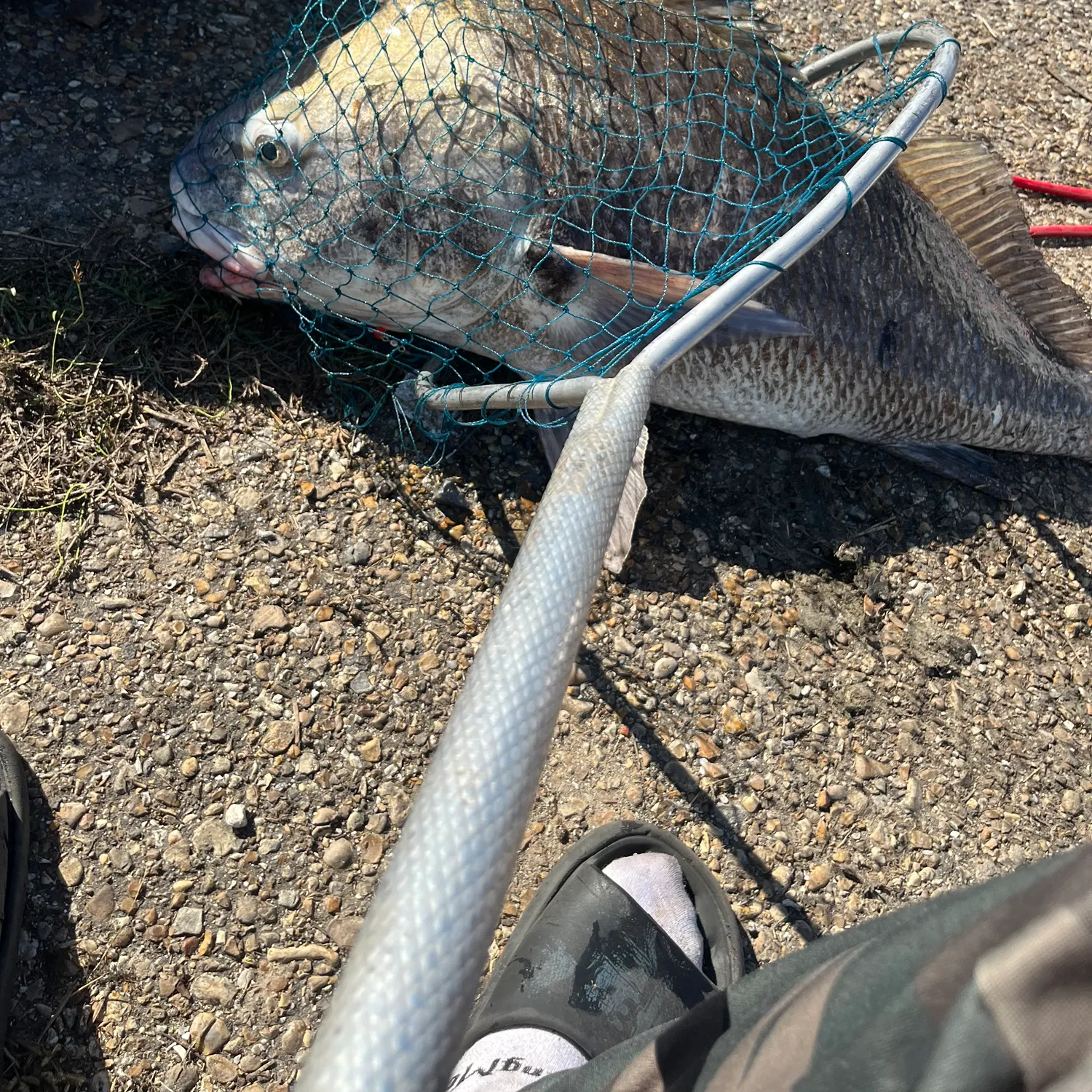
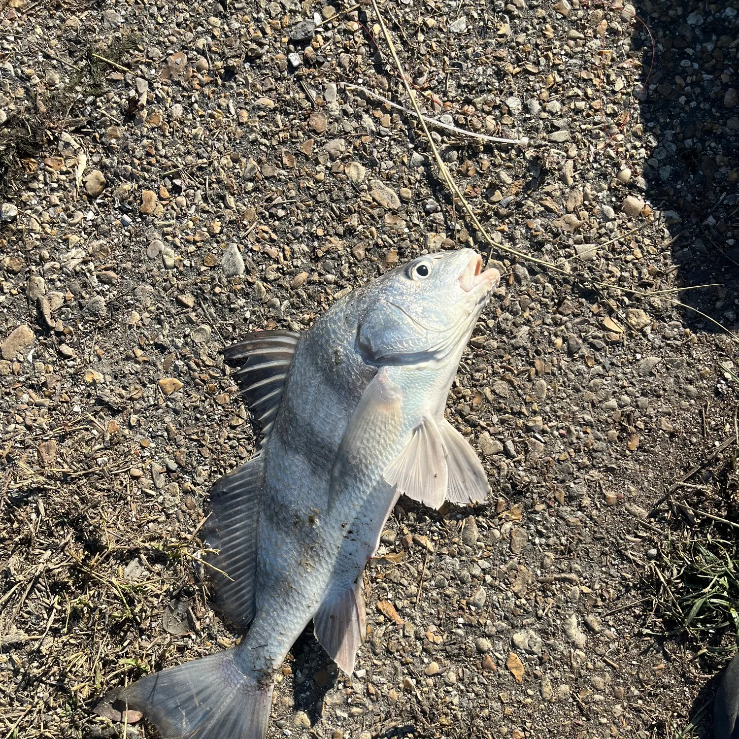
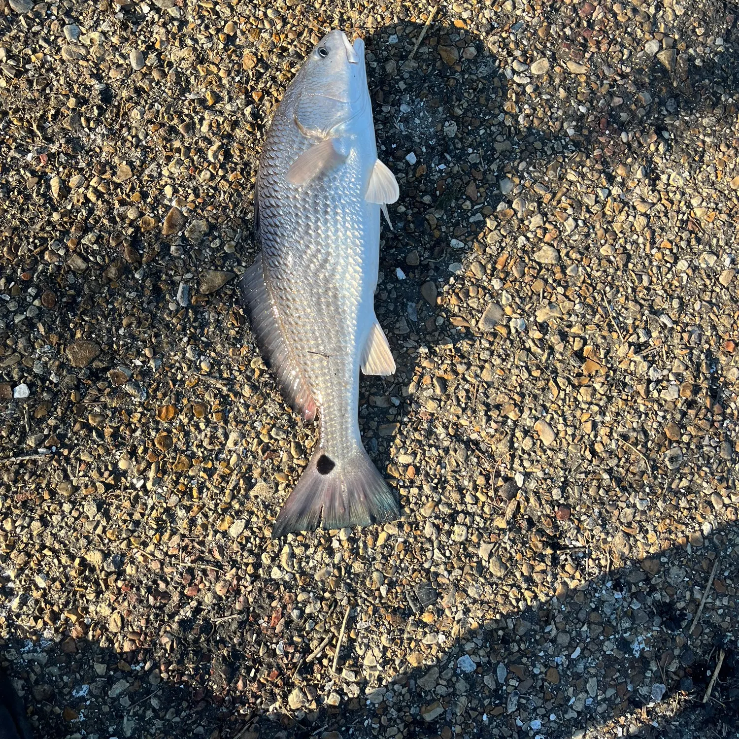
- @CFrancis3rd reported a nice Red drum.
- @CFrancis3rd reported a nice Black drum.
- @CFrancis3rd reported a nice Black drum.
- @CFrancis3rd reported a nice Black drum.
- @CFrancis3rd reported a nice Red drum.
Free trial available