Grider BranchGreaser CreekWetzel BranchBoggy BranchSons CreekBirch BranchLimestone CreekMutton CreekTurnback CreekCave Spring

Fishing spots, fishing reports, and regulations in
Right of Way Branch
4 catches
4
Logged catches
Top fish species at Right of Way Branch

See all species in the Fishbrain app

Check which species have trophy potential in Right of Way Branch
Right of Way Branch fishing reports

More catches in the app...
Continue browsing catches and catch locations in the Fishbrain app
Fishing regulations at Right of Way Branch, MO

FAQ about Right of Way Branch fishing
the Right of Way Branch is a stream located in Dade County, Missouri, United States. Its coordinates are:
37°29′35.2″N 93°50′42.7″W
.Find the best fishing spots on the Right of Way Branch by looking at where other anglers have caught fish. This can easily be done in the where it is also possible to see big fish potential and how good fishing is right now along with Navionics depth maps.
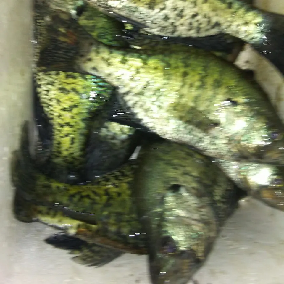
The most common species in the Right of Way Branch are:
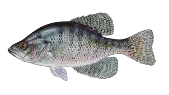
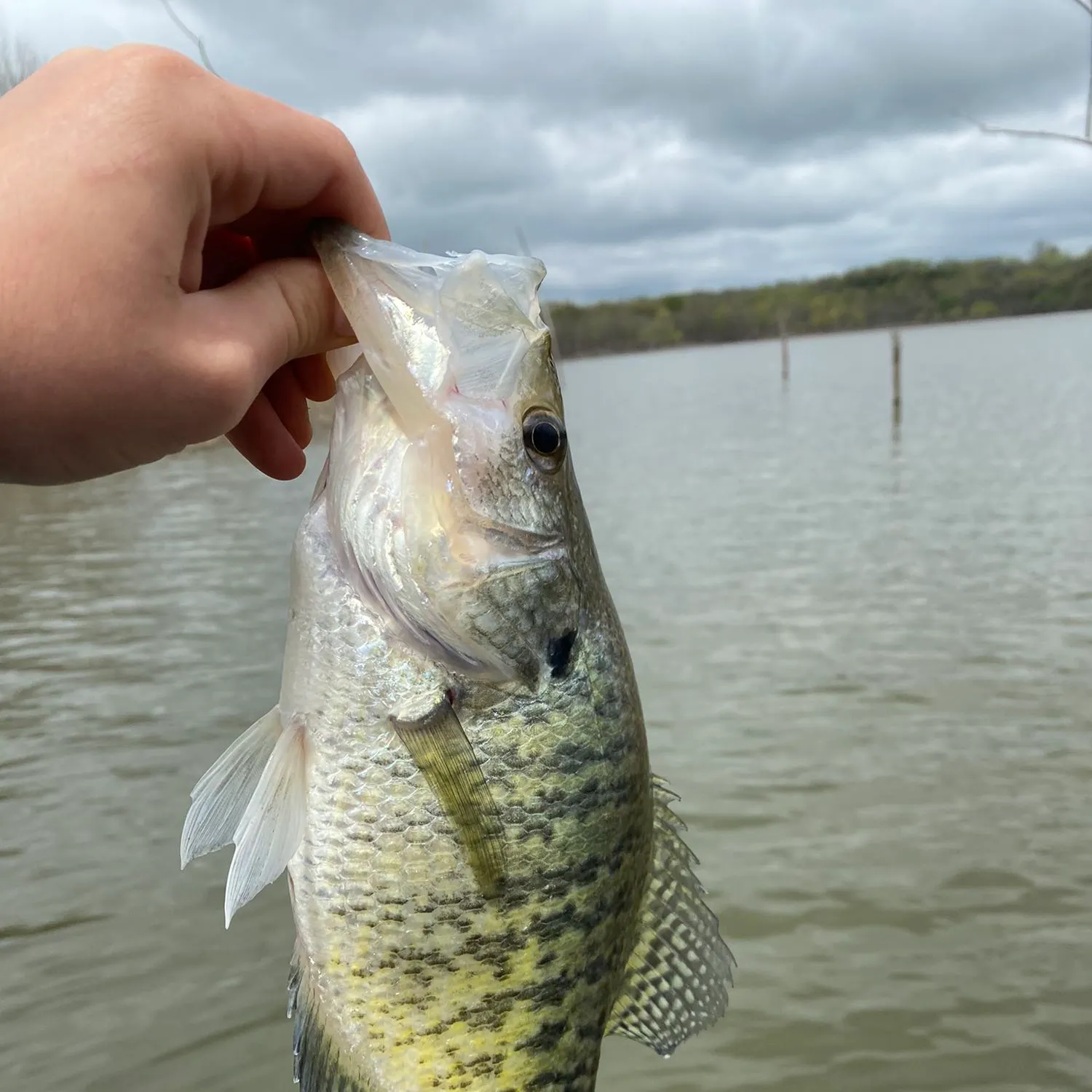
- White crappie - 2 members reported to have caught this fish
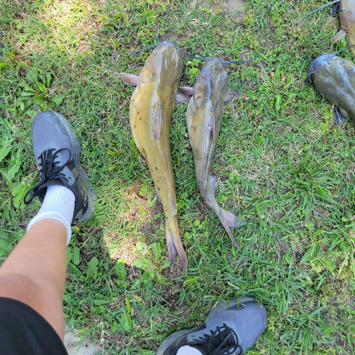
- Channel catfish - 1 members reported to have caught this fish
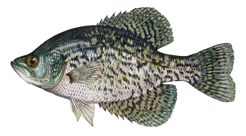
- Black crappie - 1 members reported to have caught this fish
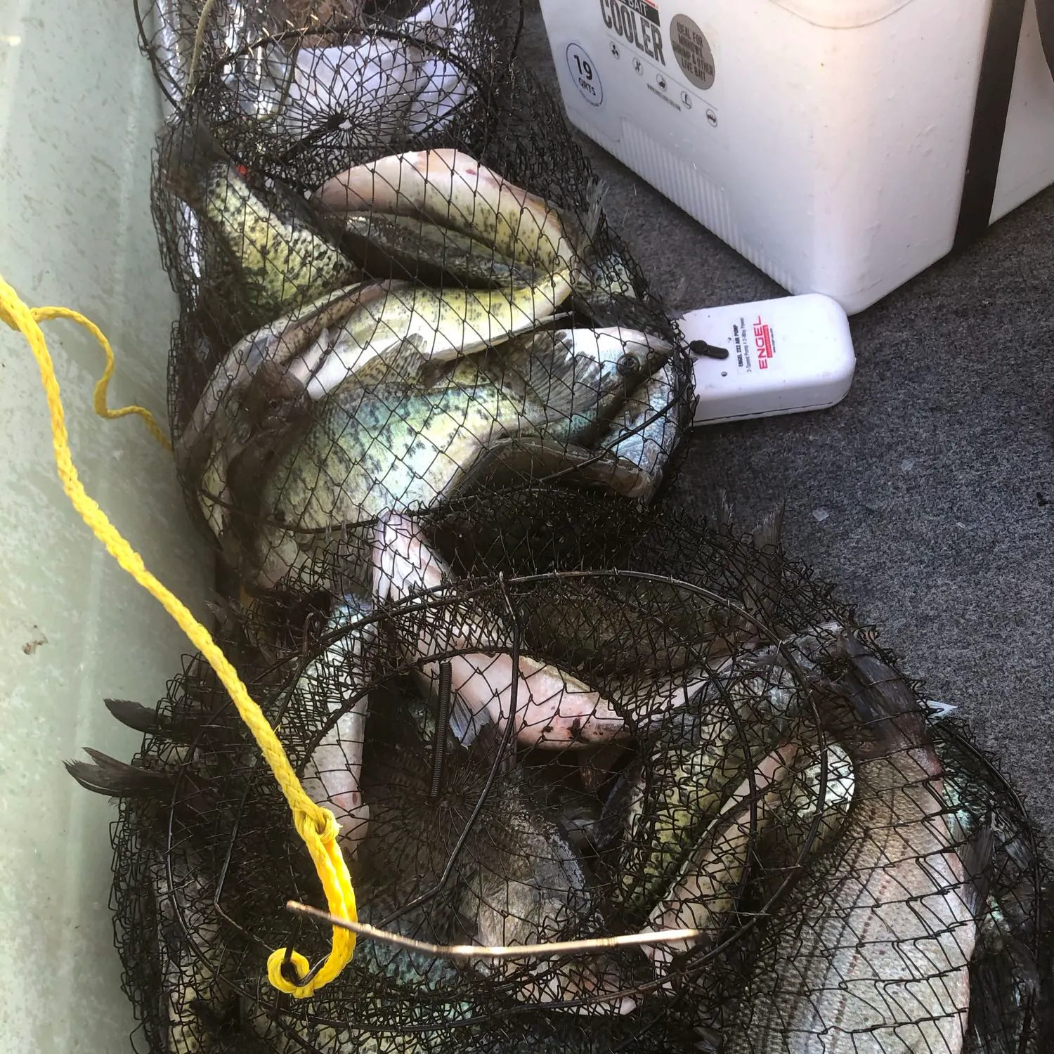
The latest Right of Way Branch fishing reports are:
- @fishie_slayer reported a nice Channel catfish.
- @gavin-payne reported a nice White crappie.
- @dawltonpittman reported a nice Black crappie.
- @davegonefishin reported a nice White crappie.

Download Fishbrain and fish smarter
Unlimited access to the best fishing spot finder in the game. Get all the fishing intel you need to start catching more, and bigger, fish.
Free trial available