
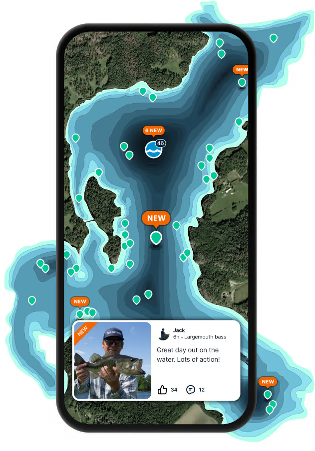
Logged catches
Top fish species at East Fork Whitewater River


Check which species have trophy potential in East Fork Whitewater River
East Fork Whitewater River fishing reports

Continue browsing catches and catch locations in the Fishbrain app
When are Brown trout biting on East Fork Whitewater River?
Learn what time of year and day to go fishing at East Fork Whitewater River. Download Fishbrain today to look for new fishing spots, scout new fishing access, or prep for your next trip.

Fishing regulations at East Fork Whitewater River, IN
Disclaimer: Always check local fishing regulations, water access rights and land ownership before fishing, regardless of any catches logged in that area by the Fishbrain community. Fishbrain has mapped millions of acres of government-owned land across the USA to help you identify potential fishing access, but you are responsible for ensuring compliance with all legal requirements.
Fishing regulations in Indiana can change throughout the year. Make sure to check this page before fishing for the most up to date rules and regulations for the current season. Local regulations govern when you can fish, the max size of the fish you can keep, how many fish you can keep, and more.
Below you will see fishing regulations for catching Brown trout as of April 1st, 2026. To view regulations for a different fish species, please click on your preferred species in the drop-down.
Seasons
Bag limit
Min size
Measurement
Aggregate
Exceptions:
- Oliver Lake (LaGrange County): Minimum size = 18-inches total length
- Olin Lake (LaGrange County): Minimum size = 18-inches total length
- Martin Lake (LaGrange County): Minimum size = 18-inches total length
- Brookville Lake tailwater in Franklin County: Minimum size = 18-inches total length
Lakes: There is no closed season for taking trout from inland lakes.
Streams: The opening day of trout season for inland streams, other than Lake Michigan tributaries, is the last Saturday in April. The season runs through Dec. 31. The start time is 6 a.m. local time. For a list of trout stockings, see fishing.IN.gov
Catch-and-release applies to all trout streams from Jan. 1 through April 14. See page 20 for special tributary restrictions and closure information for Lake Michigan streams.
A closed season for selected trout streams runs from April 15 to the last Saturday in April (opening day) while DNR staff complete the annual trout stockings. These streams include:
- Pigeon River and Pigeon Creek in LaGrange County from the Steuben County line to CR 410 E (Troxel's Bridge). This does not include the impoundment known as Mongo Mill Pond.
- Harding Run, Curtis Creek, Bloody Run, and Graveyard Run (tributaries of Pigeon River) in LaGrange County
- Turkey Creek north of CR 100 S in LaGrange County
- Rainbow Pit located on Pigeon River Fish & Wildlife Area, approximately one mile east of Ontario in LaGrange County
- Little Elkhart River and Rowe-Eden Ditch in LaGrange County
- Solomon Creek and Cobus Creek in Elkhart County
- Little Kankakee River in LaPorte County from CR 800 E upstream to Division Road
- Spy Run Creek within Franke Park in Allen County
- Mississinewa River within the boundaries of the Randolph County Wildlife Management Area
- Big Blue River within the boundaries of Wilbur Wright Fish & Wildlife Area in Henry County
The following three streams in Elkhart County (totaling 2.8 miles) are designated as year-round "catch-and-release only" and "artificial lures or flies only" trout fishing areas:
- • Little Elkhart River from CR 43 downstream to CR 16, except for waters along Riverbend Park from CR 16 upstream to the pedestrian footbridge
- • Solomon Creek from CR 33 downstream to the Elkhart River
- • Cobus Creek from Old U.S. 20 downstream to the St. Joseph River
Lake Michigan: trout and salmon regulations are available online.
Trout or salmon with a missing adipose fin contain a small microwire tag in the head of the fish with information important to DNR research. Please save the head from your adipose fin-clipped trout and salmon and call 219-874-6824 for instructions.
It is illegal to snag fish from public waters in Indiana, including the Ohio River. Trout and salmon that are foul-hooked (not caught in the mouth) cannot be kept. They must be released back into the body of water from which they were foul-hooked.
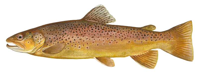
Salmo trutta
Regulations for

FAQ about East Fork Whitewater River fishing
- Brown trout - 53 members reported to have caught this fish
- Smallmouth bass - 46 members reported to have caught this fish
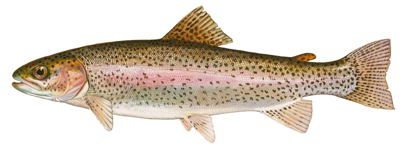
- Rainbow trout - 32 members reported to have caught this fish
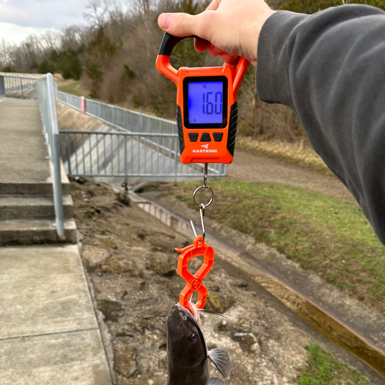
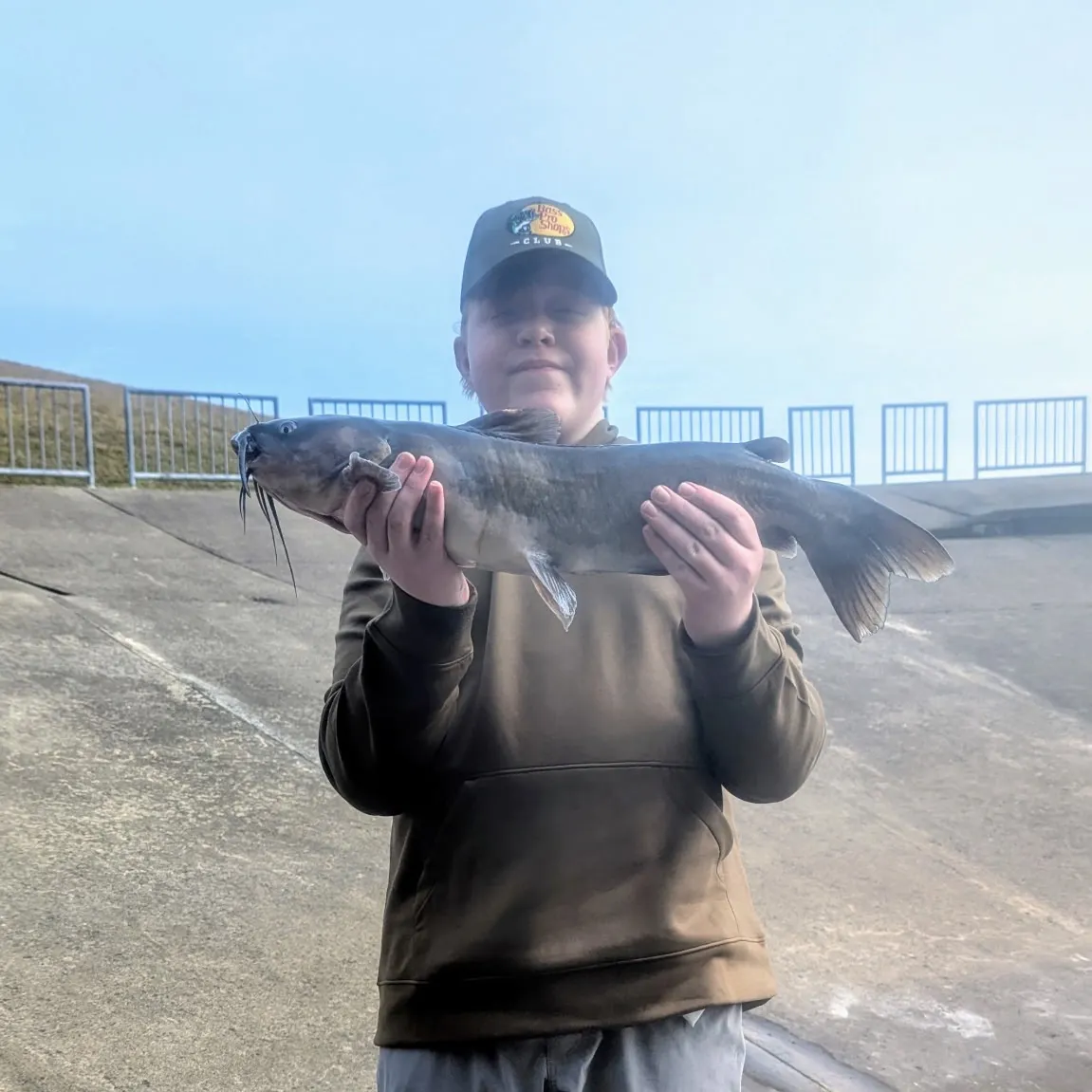
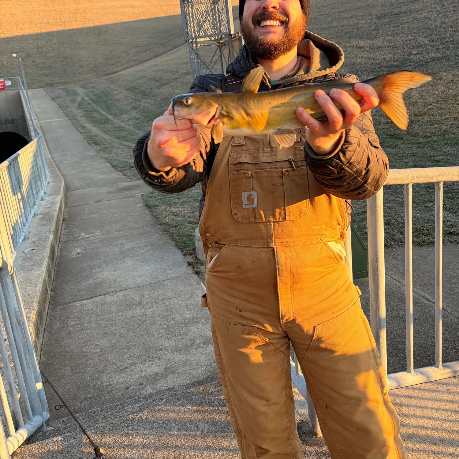
- @fishinwitg reported a nice Channel catfish.
- @Multispeciesfisherman643 reported a nice Channel catfish.
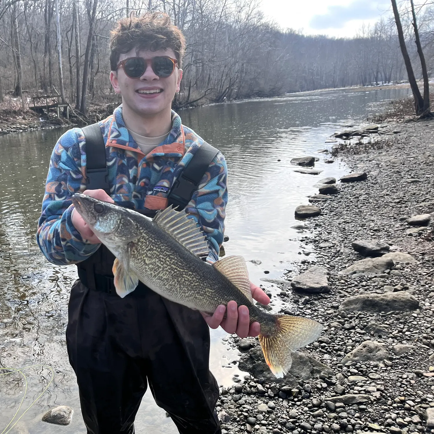
- @Andrewwa reported a nice Walleye.
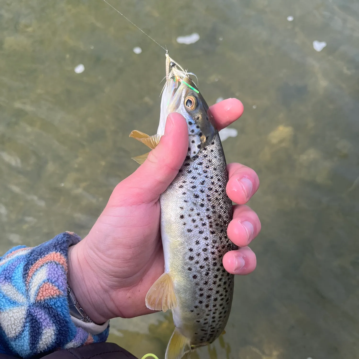
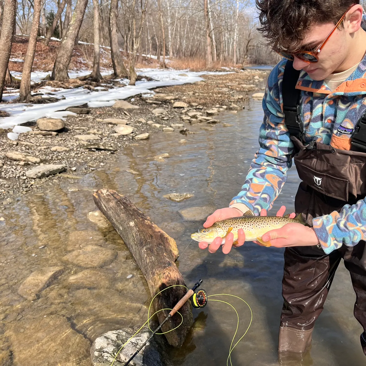
- @Andrewwa reported a nice Brown trout.
- @Andrewwa reported a nice Brown trout.
Free trial available