Map

Utility Creek

Fishing spots, fishing reports, and regulations in

British Columbia, Canada

6 catches

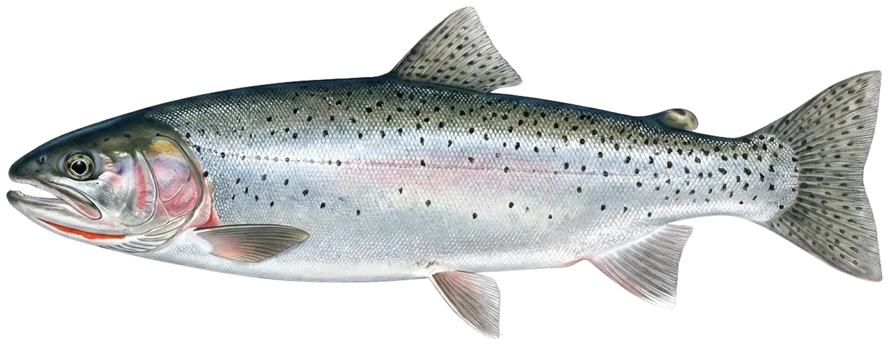
Top fish species at Utility Creek

App Section

Check which species have trophy potential in Utility Creek

Utility Creek fishing reports

fish catches icon
recently logged catches
Loading...

Largemouth bass

length · weight

fish catches icon
recently logged catches
Loading...

Coastal cutthroat trout

length · weight

fish catches icon
recently logged catches
Loading...

Coastal cutthroat trout

length · weight

fish catches icon
recently logged catches
Loading...

Coastal cutthroat trout

length · weight

fish catches icon
recently logged catches
Loading...

Coastal cutthroat trout

length · weight

fish catches icon
recently logged catches
Loading...

Coastal cutthroat trout

length · weight

Fishbrain
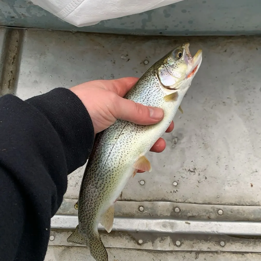
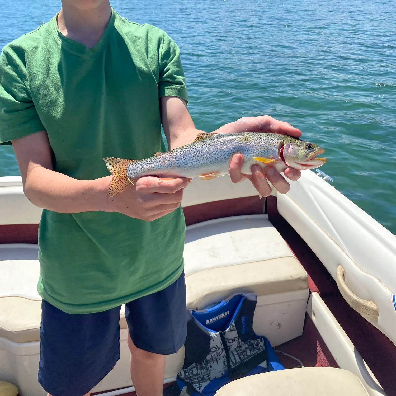
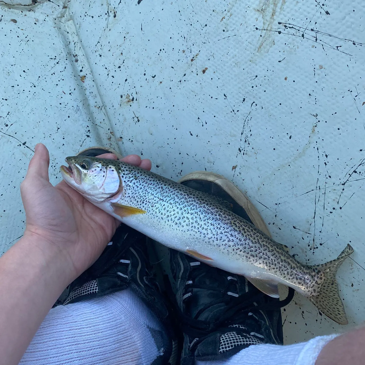
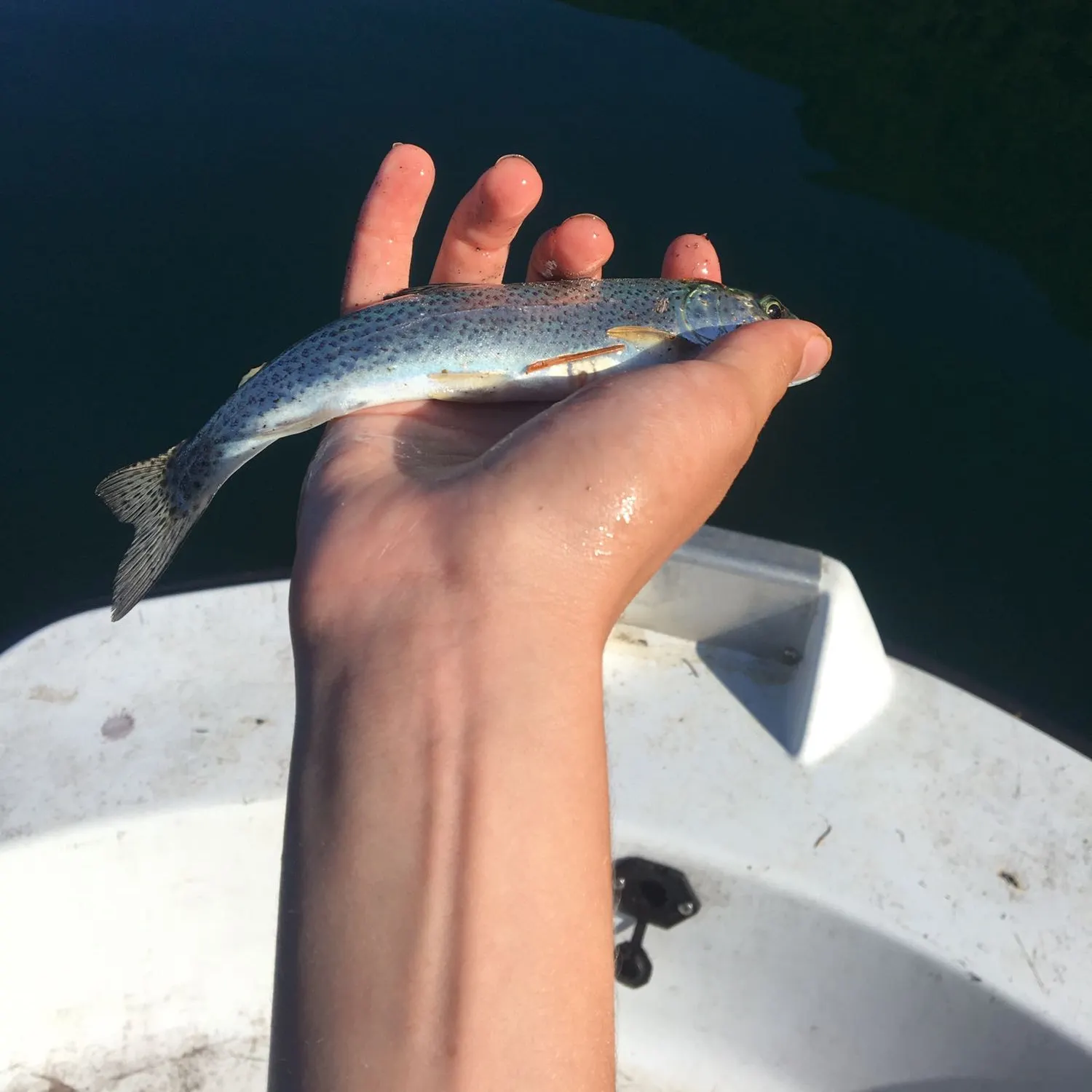
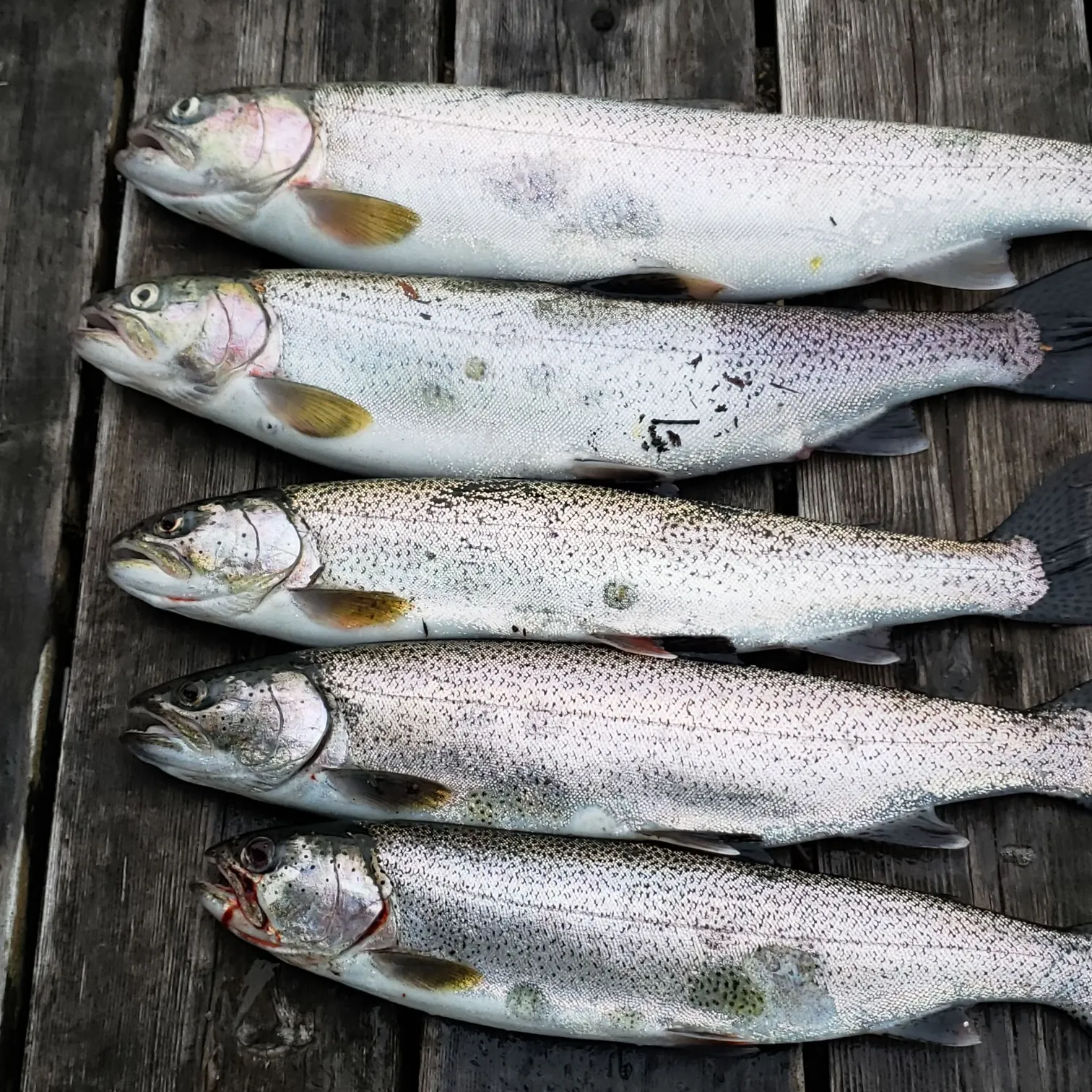
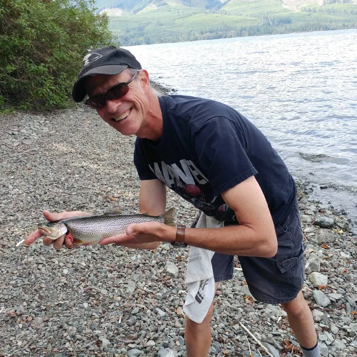
More catches in the app...

Continue browsing catches and catch locations in the Fishbrain app

Loading...
Loading...
Loading...

General info

Utility Creek is a stream located in British Columbia, Canada. It is most popular for fishing Coastal cutthroat trout and Largemouth bass.

Location

48°52′18.5″N 124°11′38.4″W
Directions

When are Largemouth Bass biting on Utility Creek?

Learn what time of year and day to go fishing at Utility Creek. Download Fishbrain today to look for new fishing spots, scout new fishing access, or prep for your next trip.

Bite time image

Cities nearby

Neah Bay

40.1 miles away

Sekiu

42.3 miles away

Clallam Bay

42.8 miles away

Roche Harbor

51.6 miles away

Point Roberts

52.2 miles away

Friday Harbor

56.5 miles away

Port Angeles

62.3 miles away

Forks

64.1 miles away

Sequim

74.6 miles away

Anacortes

76.1 miles away

Blyn

81.0 miles away

Oak Harbor

81.6 miles away

Port Townsend

82.6 miles away

Coupeville

82.8 miles away

Port Hadlock-Irondale

86.7 miles away

Marrowstone

88.8 miles away

Quilcene

92.8 miles away

Queets

92.8 miles away

Brinnon

101.5 miles away

Neilton

102.5 miles away

Taholah

106.7 miles away

Humptulips

112.7 miles away

Pacific Beach

114.4 miles away

Copalis Beach

121.0 miles away

Anything missing or inaccurate?

Suggest changes to improve what we show.

Suggest changes

FAQ about Utility Creek fishing

the Utility Creek is a stream located in British Columbia, Canada. Its coordinates are:
48°52′18.5″N 124°11′38.4″W
.
Find the best fishing spots on the Utility Creek by looking at where other anglers have caught fish. This can easily be done in the where it is also possible to see big fish potential and how good fishing is right now along with Garmin® depth maps.
The most common species in the Utility Creek are:
The latest Utility Creek fishing reports are:
App Section
Download Fishbrain and fish smarter
Unlimited access to the best fishing spot finder in the game. Get all the fishing intel you need to start catching more, and bigger, fish.

Free trial available

Loading...
Loading...
Loading...
Loading...