Tin Can BayTeewah CreekSnapper CreekRainbow BeachWide Bay HarbourGympie Regional coastal waterButtha CreekPoona CreekNoosa RiverLake Cootharaba

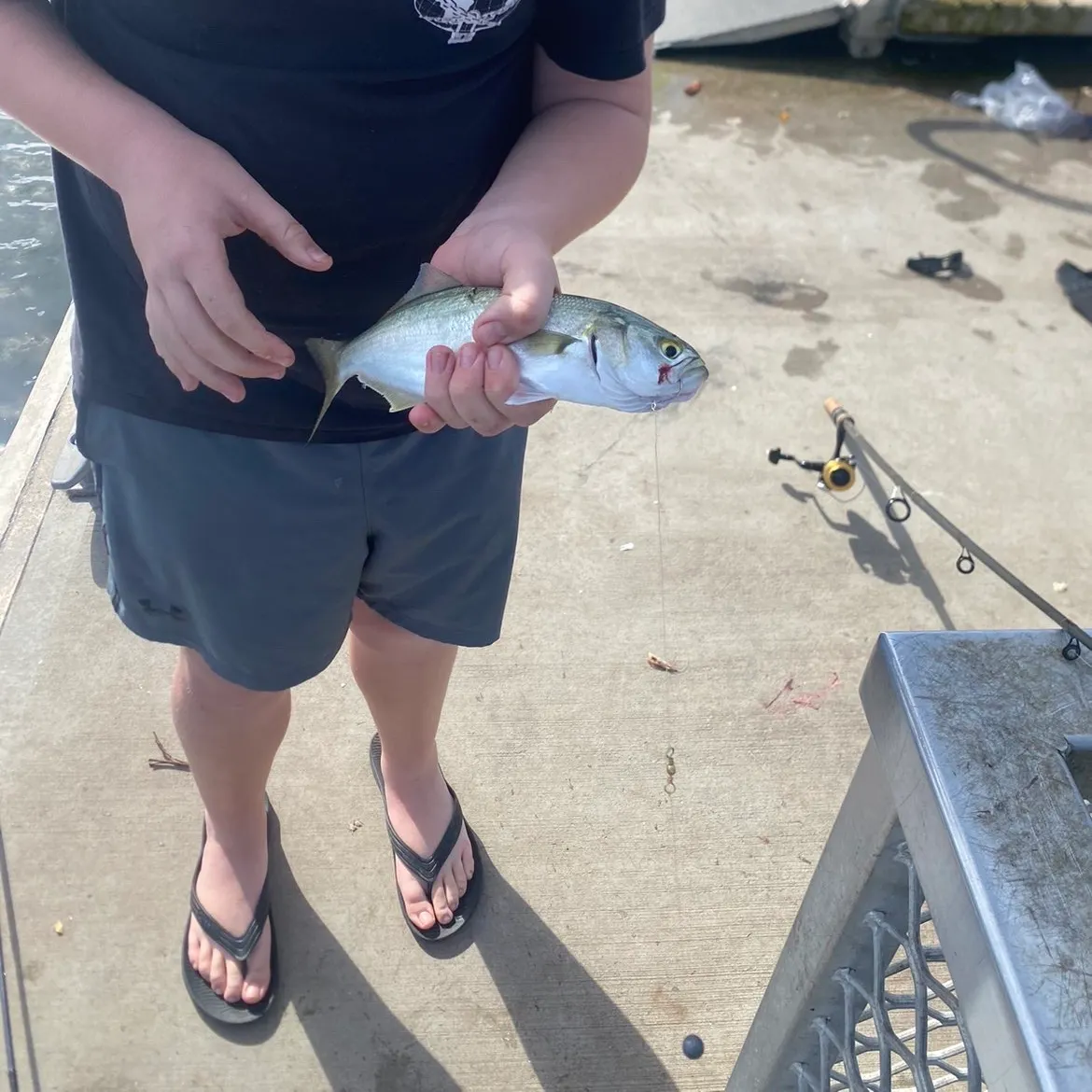
4.3·165 catches
165
Logged catches
4.3
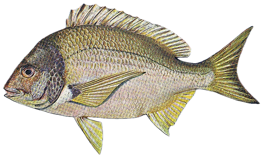
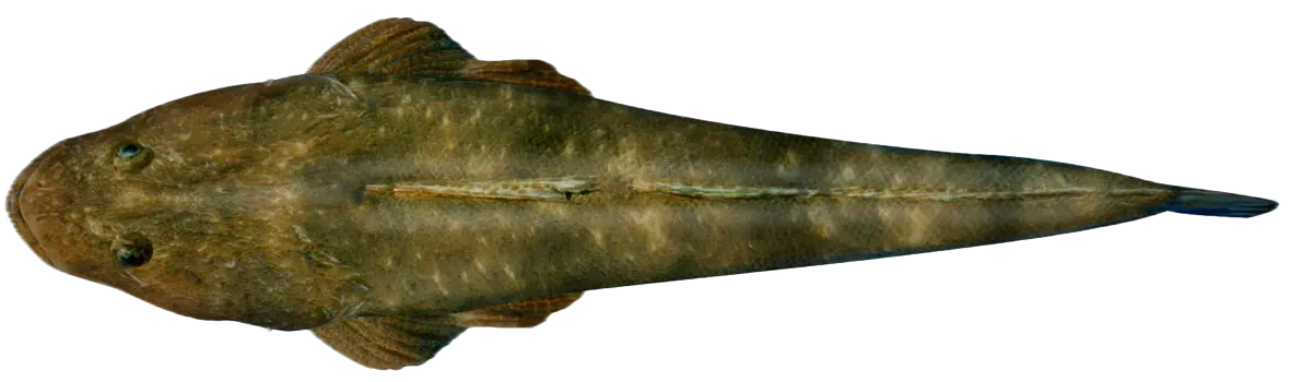
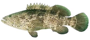
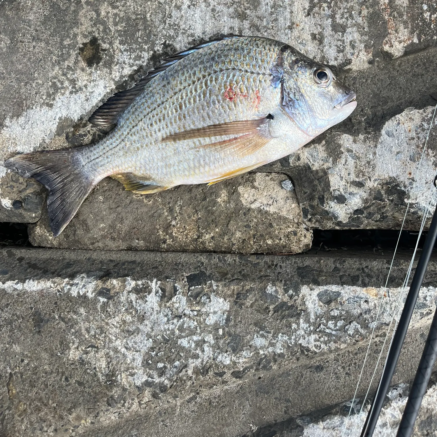
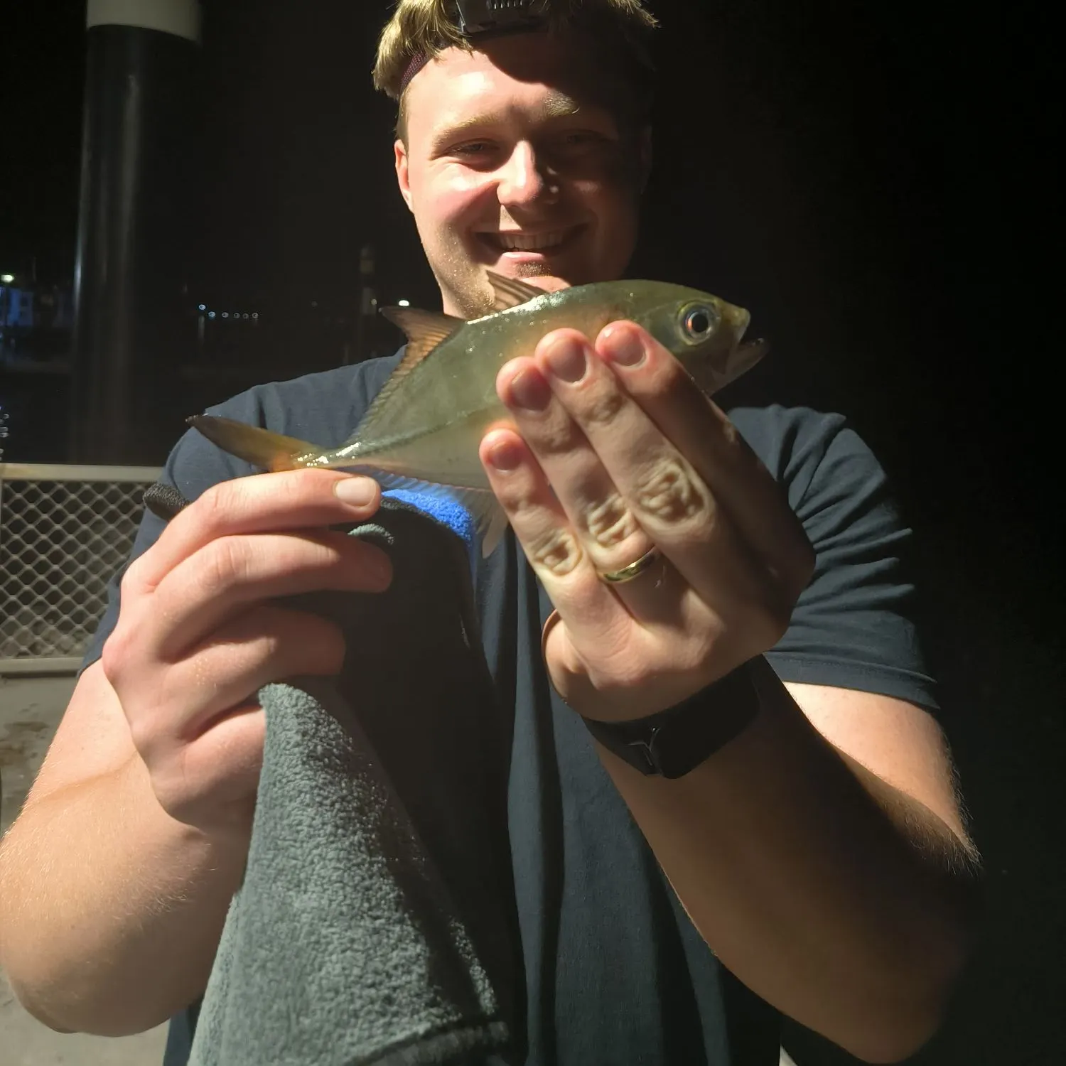
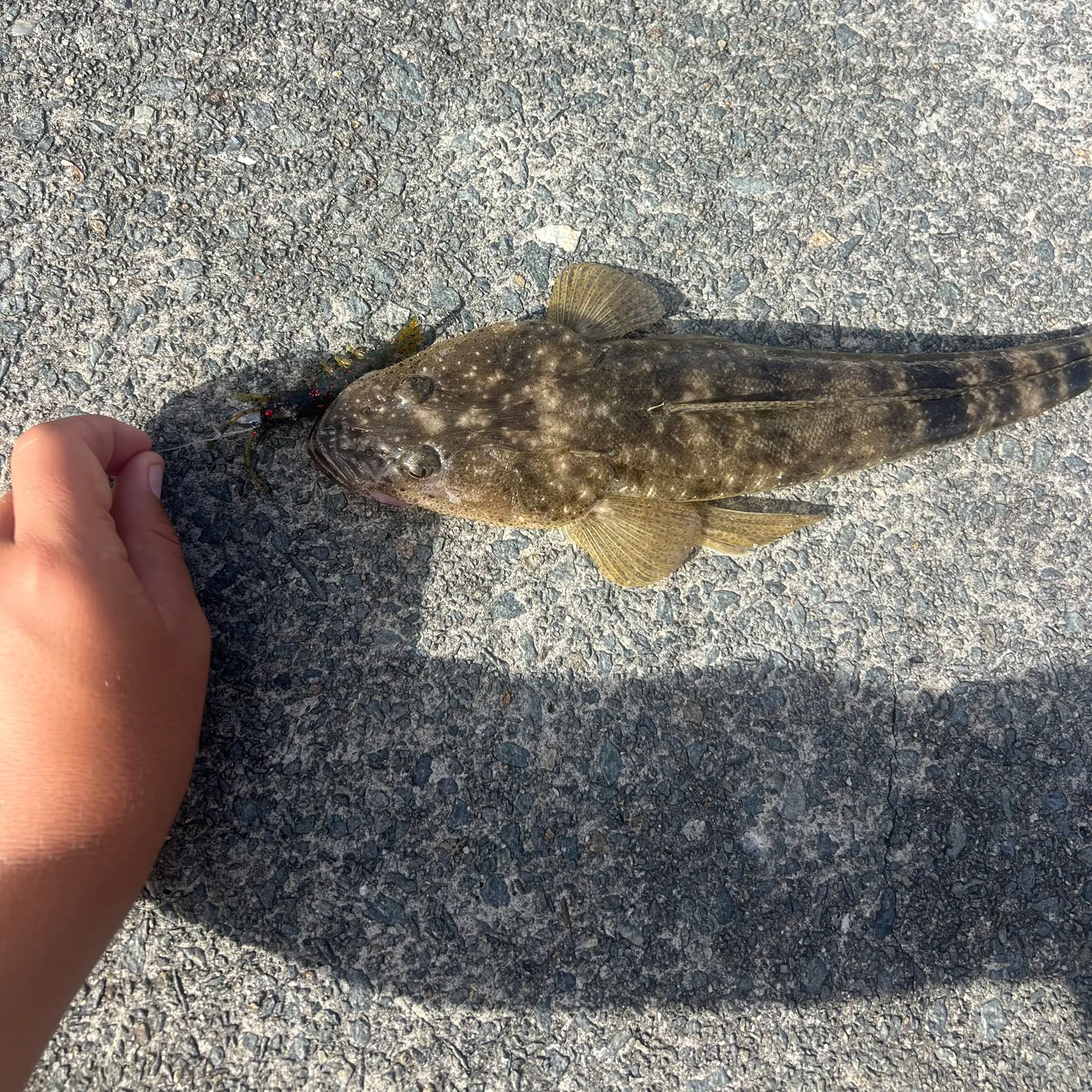
Top fish species at Tin Can Inlet
See all species in the Fishbrain app

Check which species have trophy potential in Tin Can Inlet
Tin Can Inlet fishing reports

More catches in the app...
Continue browsing catches and catch locations in the Fishbrain app

Download Fishbrain and fish smarter
Unlimited access to the best fishing spot finder in the game. Get all the fishing intel you need to start catching more, and bigger, fish.
Free trial available