BrasilBrasilRío SaladoRío San JuanArroyo CampaneroLaguna de SalinillasArroyo Las JarasZacatecas ArroyoRío JacalCanal General

3.0·23 catches
23
Logged catches
3.0
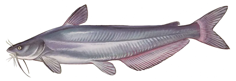
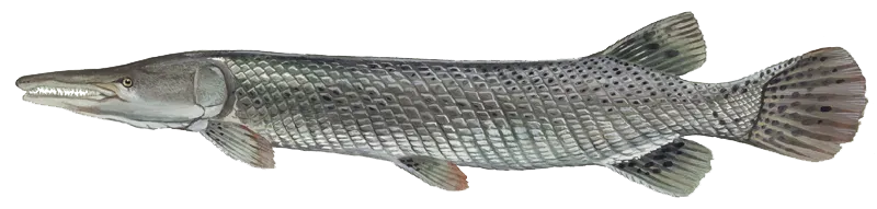
Top fish species at Arroyo de la Coyota

See all species in the Fishbrain app

Check which species have trophy potential in Arroyo de la Coyota
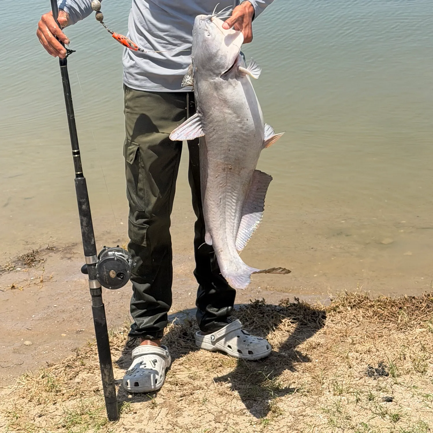
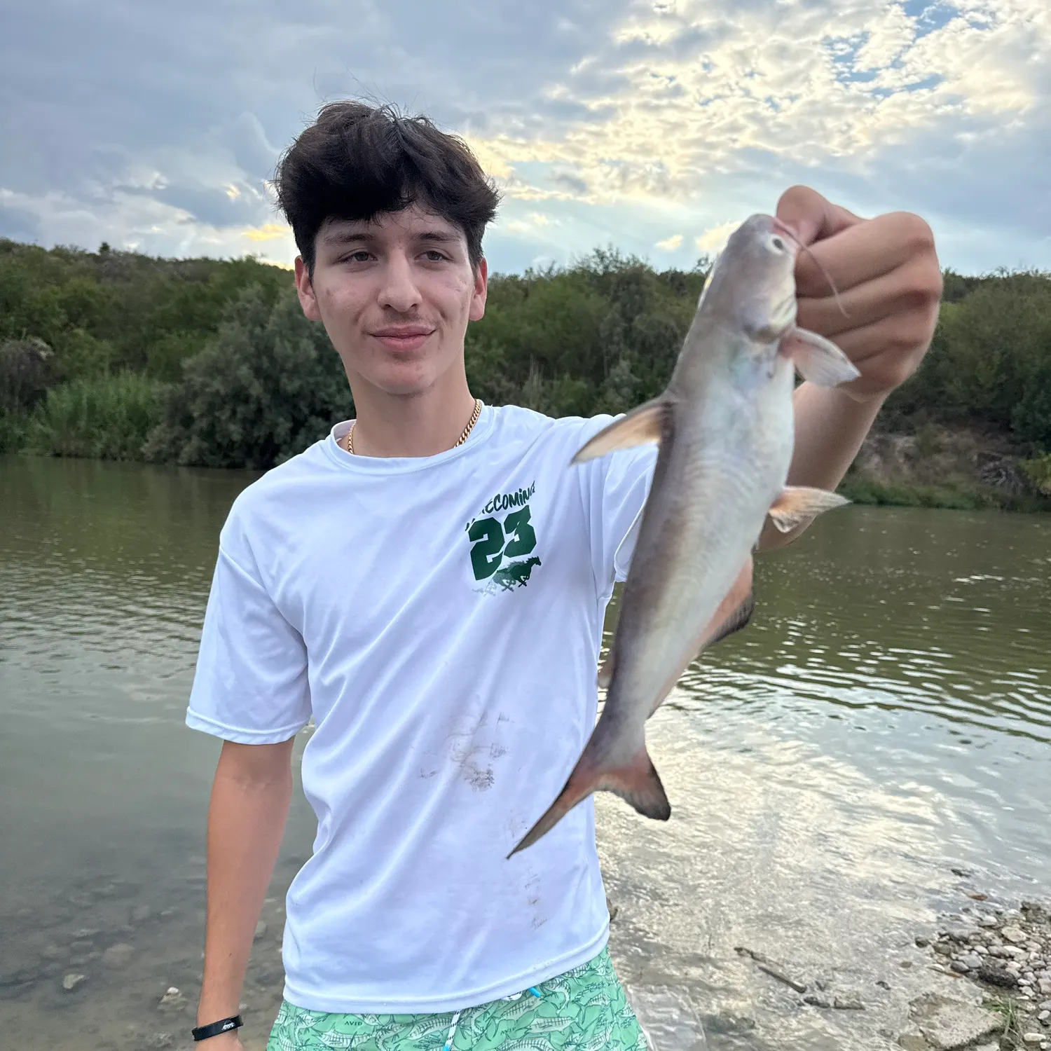
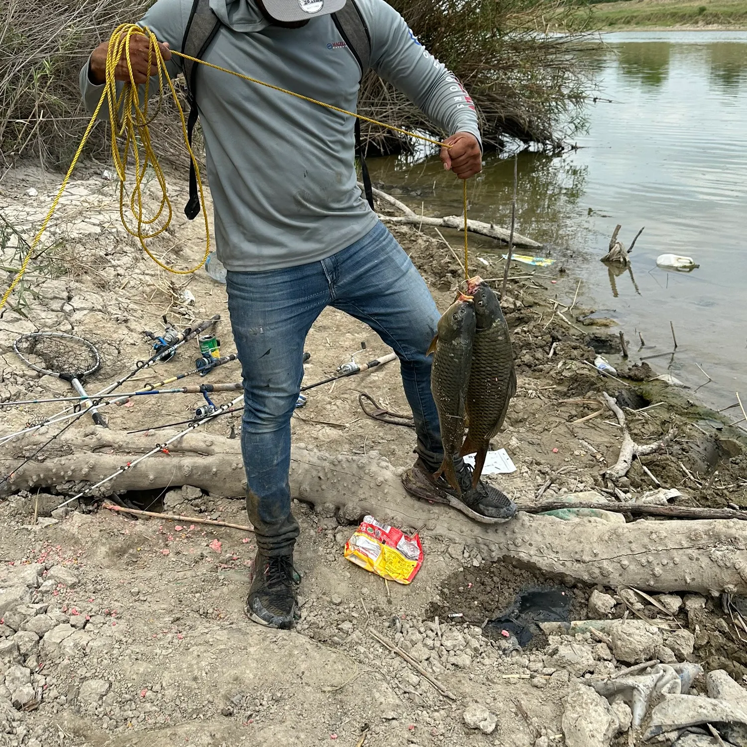
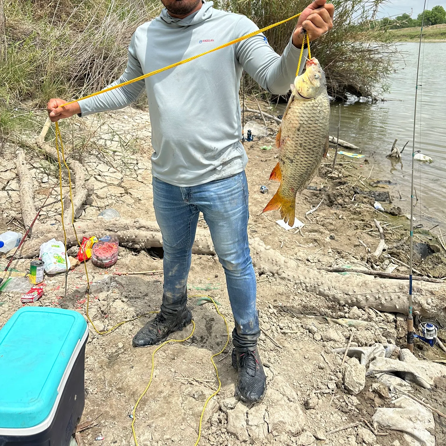
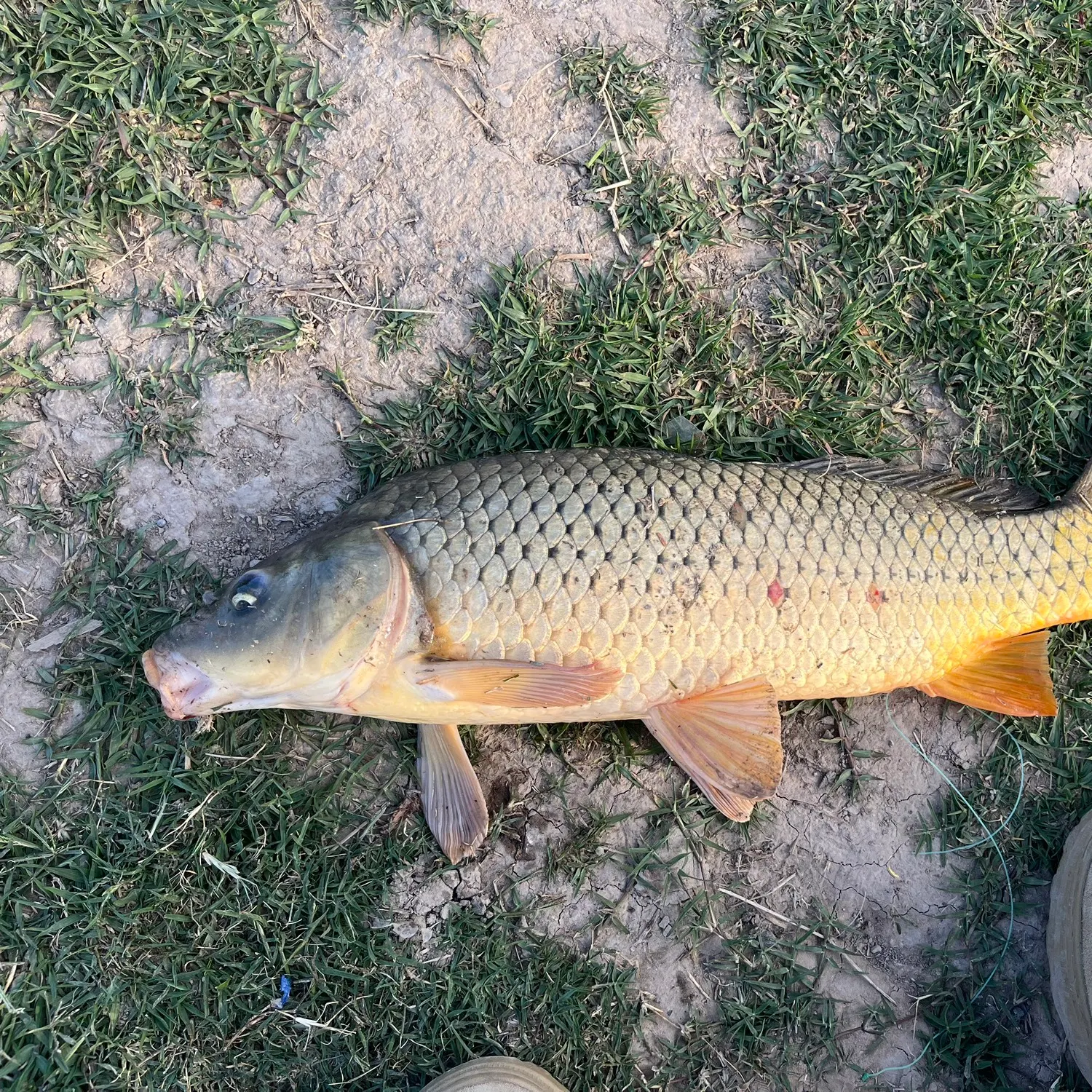
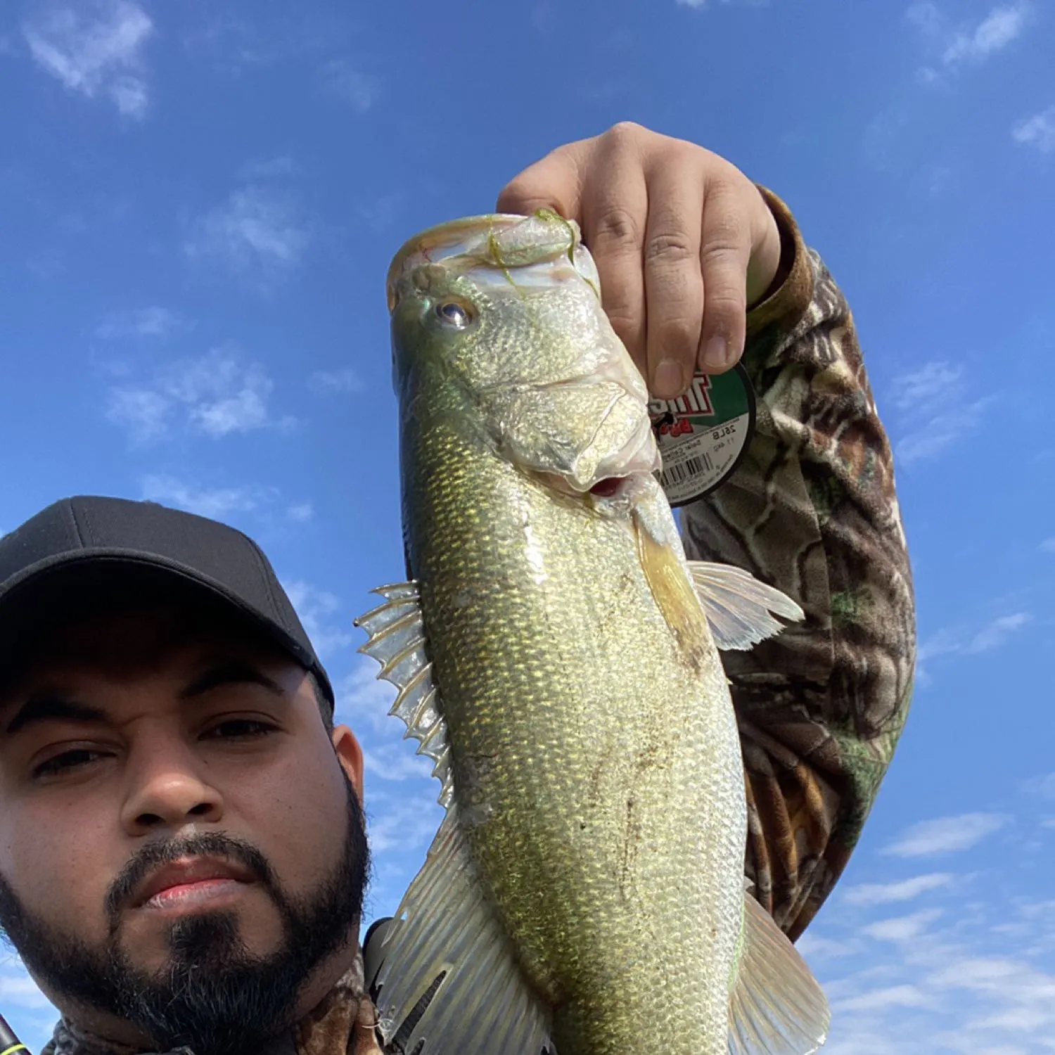
Arroyo de la Coyota fishing reports

More catches in the app...
Continue browsing catches and catch locations in the Fishbrain app

Download Fishbrain and fish smarter
Unlimited access to the best fishing spot finder in the game. Get all the fishing intel you need to start catching more, and bigger, fish.
Free trial available