Lake WanakaCraig BurnEast Wanaka CreekTimaru RiverLake HaweaLake WanakaRods CreekHawea RiverPaddock BayBremner Bay

Bay Burn
Fishing spots, fishing reports, and regulations in
1 catch
1
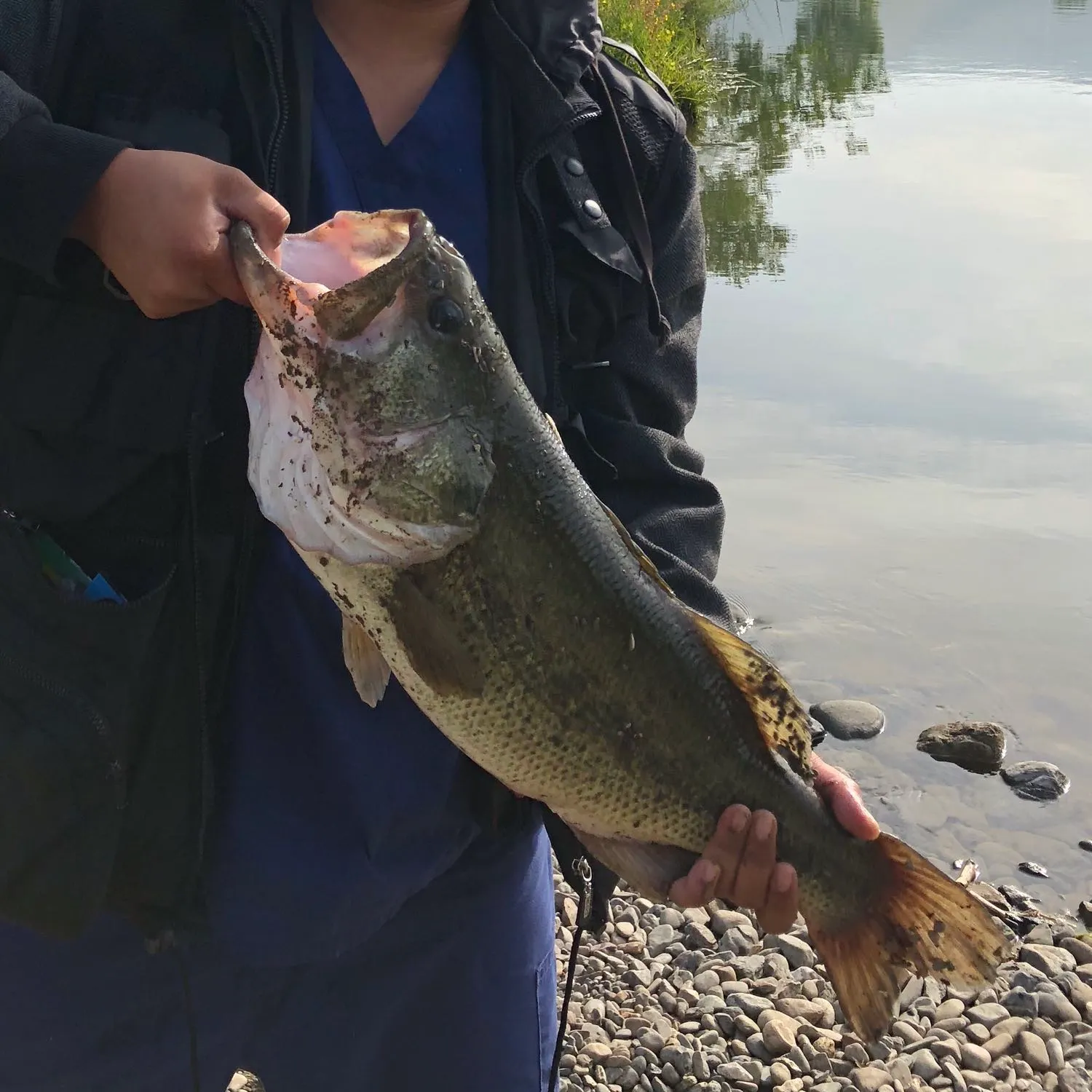
Logged catch


Check which species have trophy potential in Bay Burn
Bay Burn fishing reports

Have you been fishing here?
Log your catch and check out other catches from the community in the Fishbrain app.
When are Largemouth Bass biting on Bay Burn?
Learn what time of year and day to go fishing at Bay Burn. Download Fishbrain today to look for new fishing spots, scout new fishing access, or prep for your next trip.


Download Fishbrain and fish smarter
Unlimited access to the best fishing spot finder in the game. Get all the fishing intel you need to start catching more, and bigger, fish.
Free trial available