1. United States/
  2. West Virginia
Map

Fishing in West Virginia

Find fishing spots near you with Fishbrain's interactive crowd-sourced map

App Section

Want trophy-size catches? These West Virginia spots deliver

About West Virginia fishing

West Virginia fishing includes trout streams, bass rivers, and catfish reservoirs. Mountain scenery enhances freshwater angling opportunities, appealing to both casual and serious anglers.

West Virginia fishing license

Fishing in West Virginia requires a valid state fishing license for anglers. Licenses include resident and non-resident, annual, short-term, and combination permits, available online or at licensed agents.

In West Virginia, no fishing license is required for anglers under 15 or residents 65 and older. A few other exceptions worth knowing:

  • Free fishing days — most states designate 1–2 weekends a year where anyone can fish without a license

  • Tribal waters — tribal members fishing on tribal land operate under separate tribal regulations

  • Private ponds — landowners fishing their own water typically don't need a license

Non-residents usually pay more for a license than residents. Some species also require an extra stamp or endorsement on top of your base license.

Get license

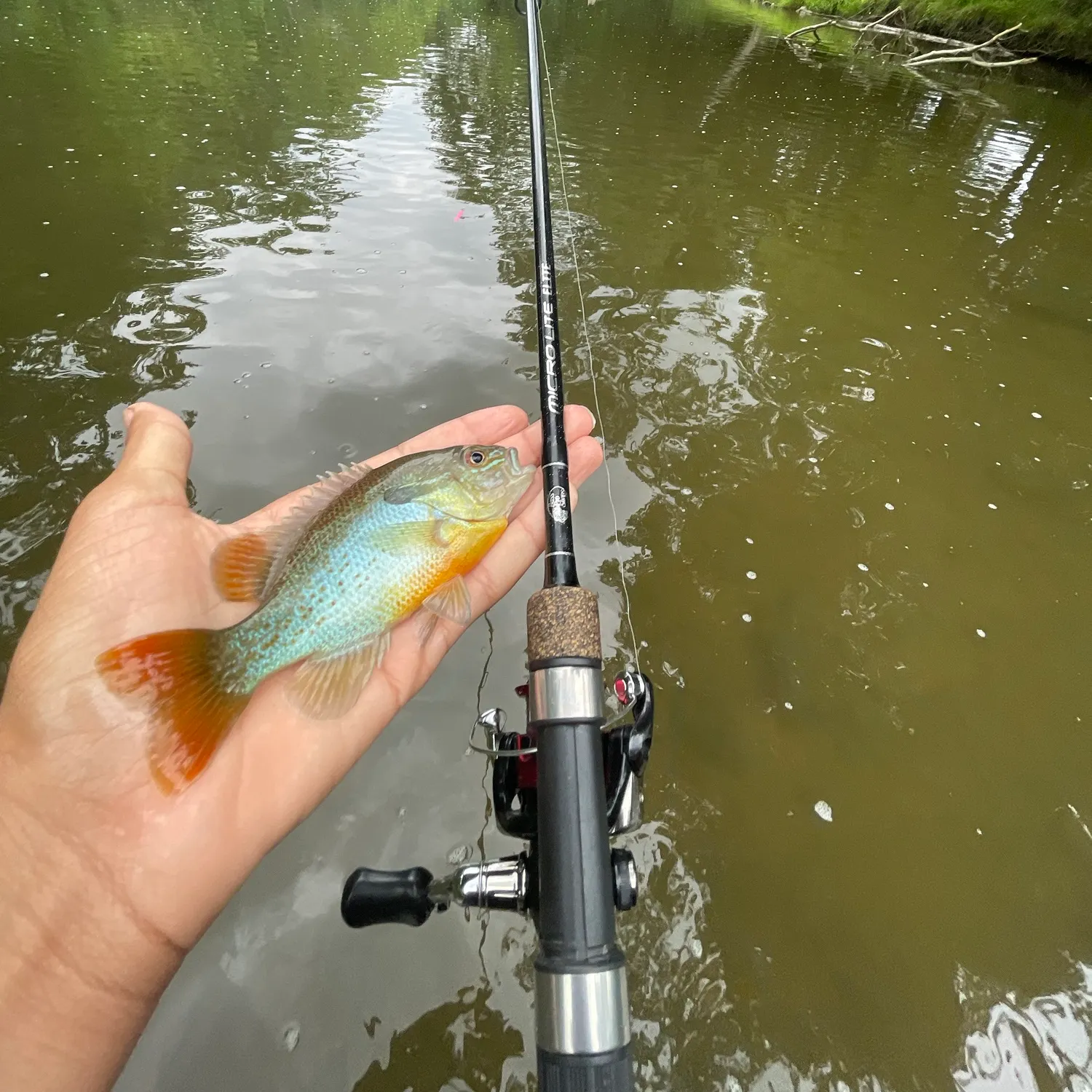
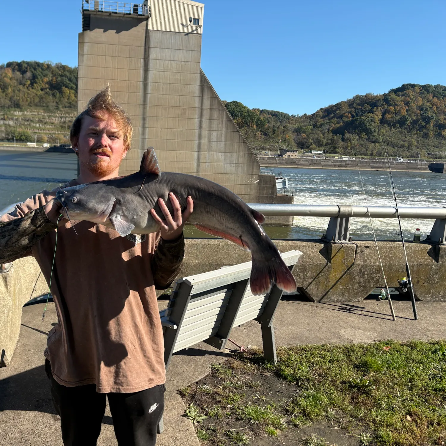
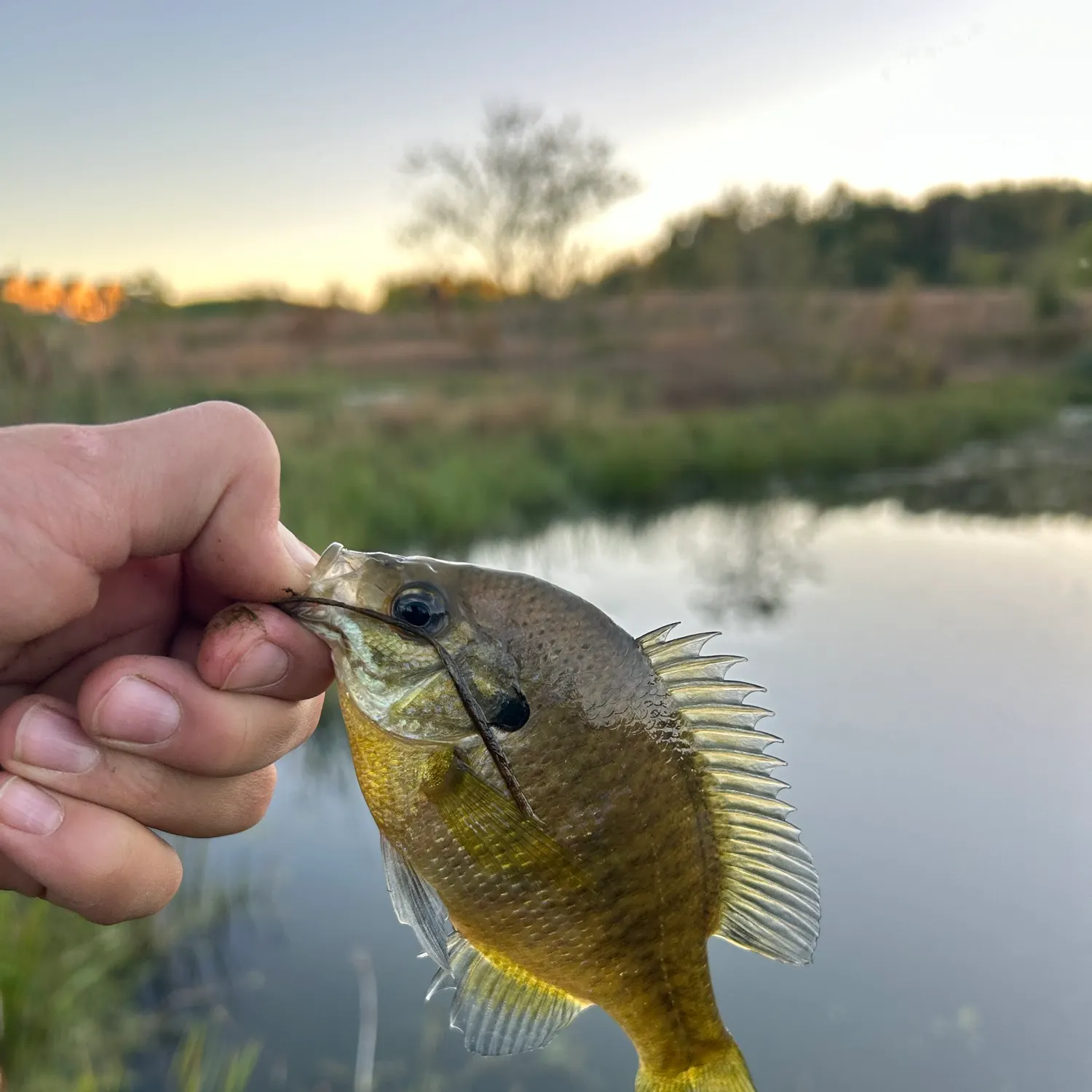
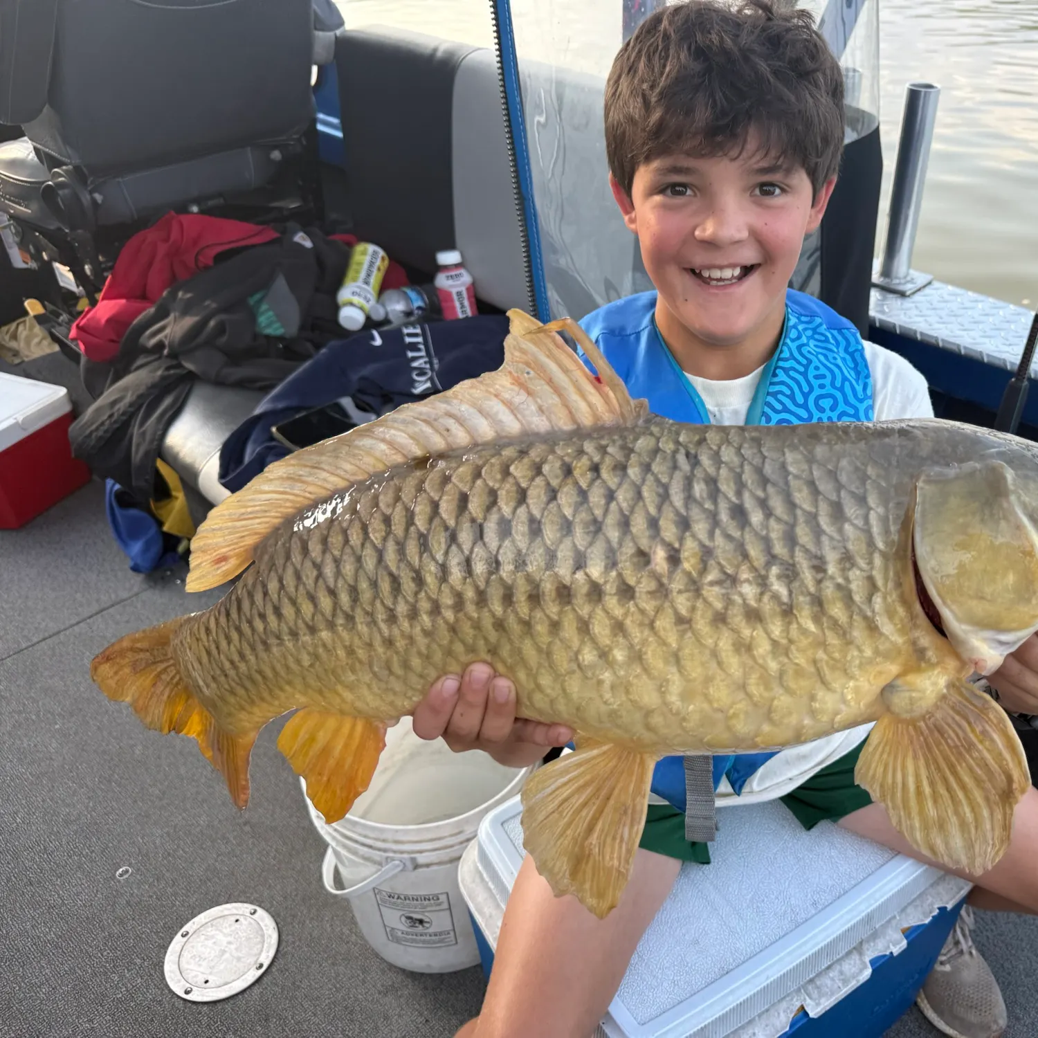
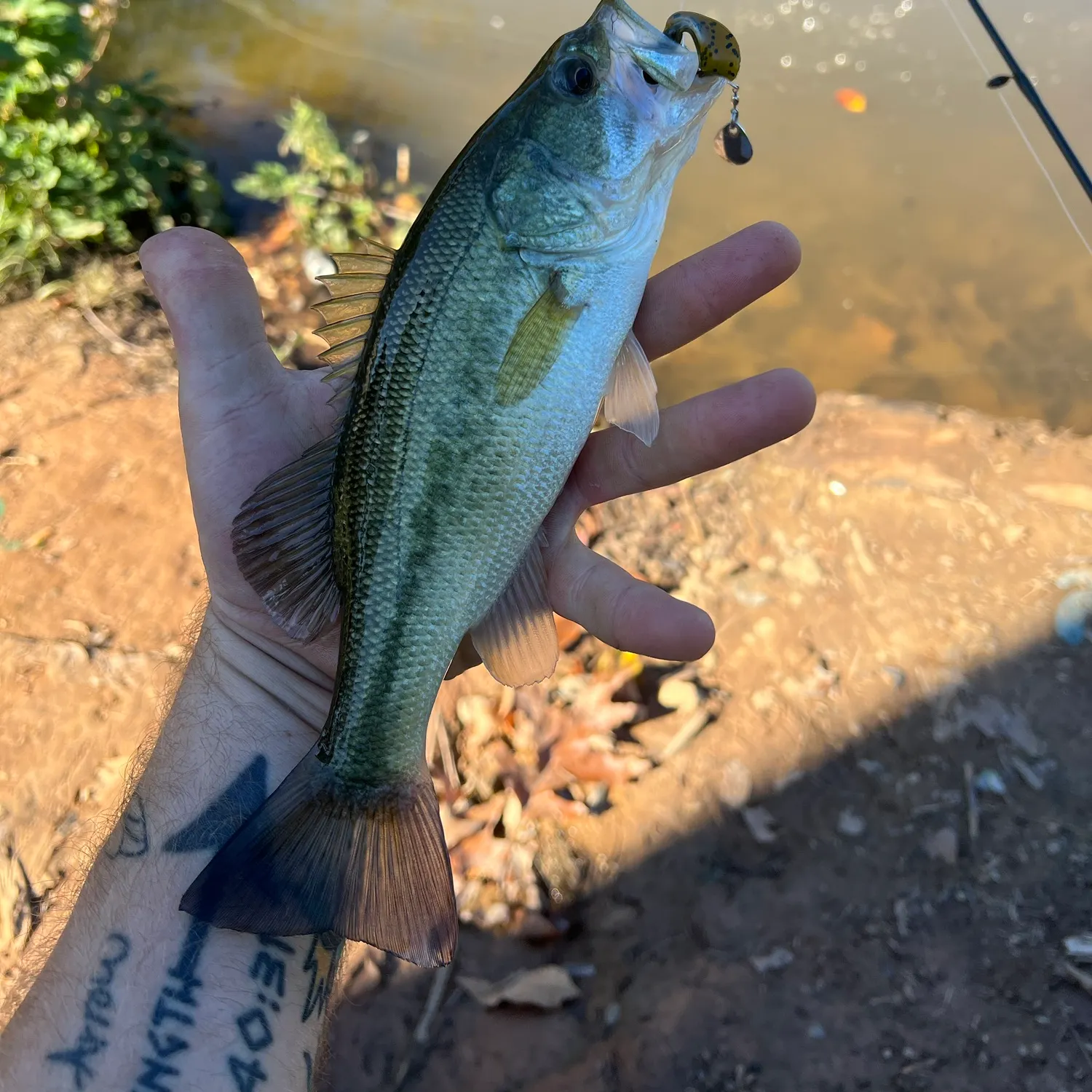
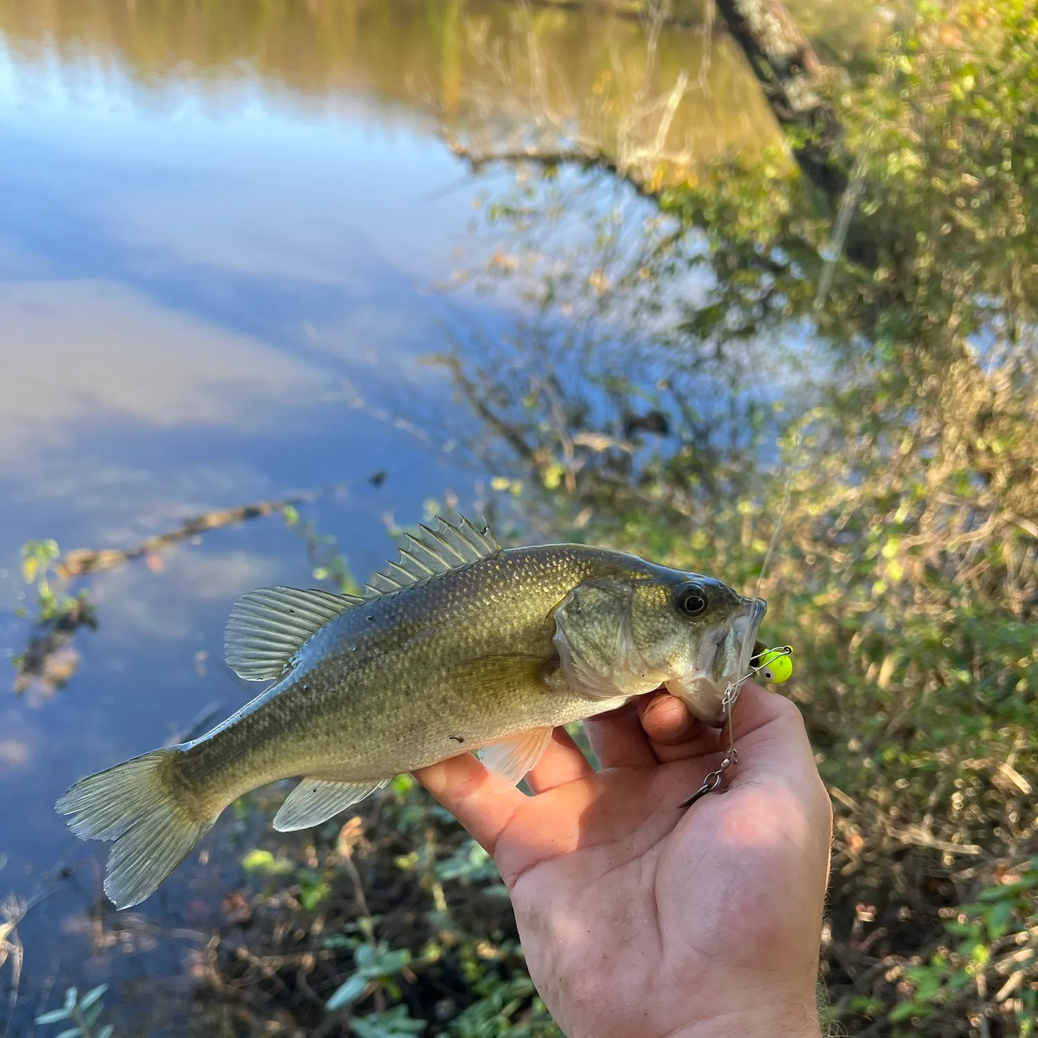
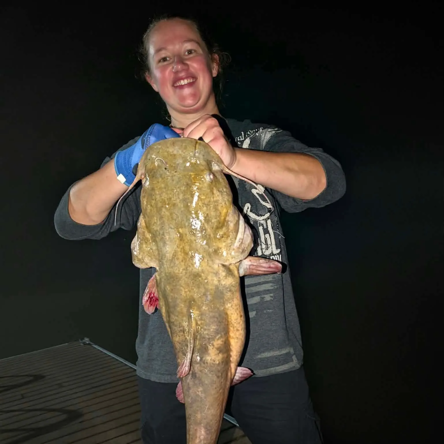
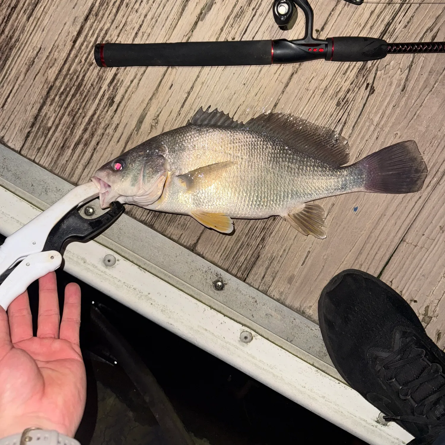
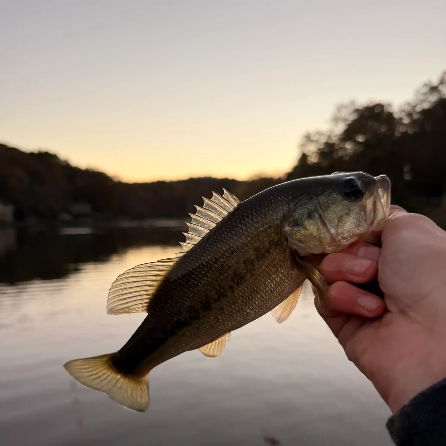
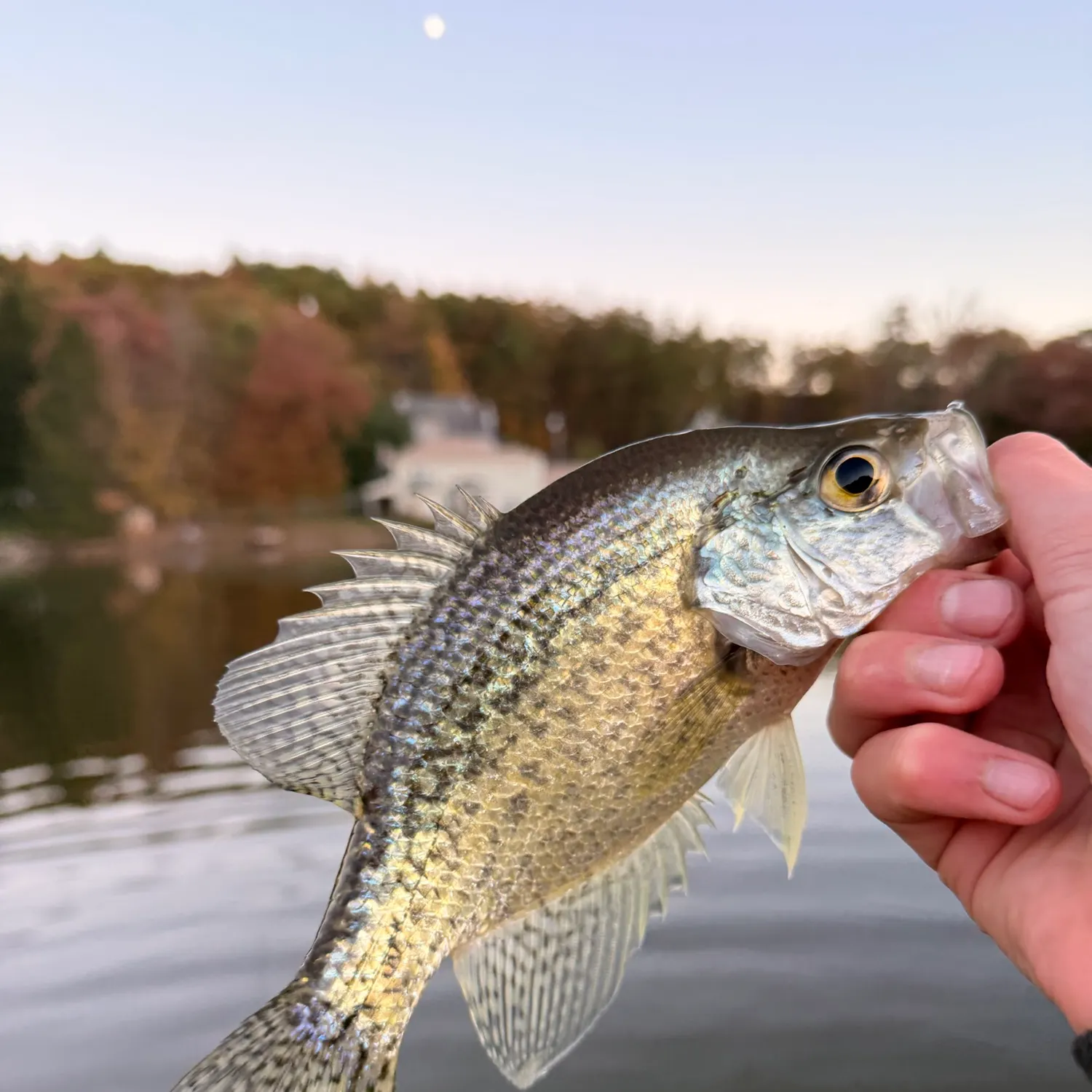
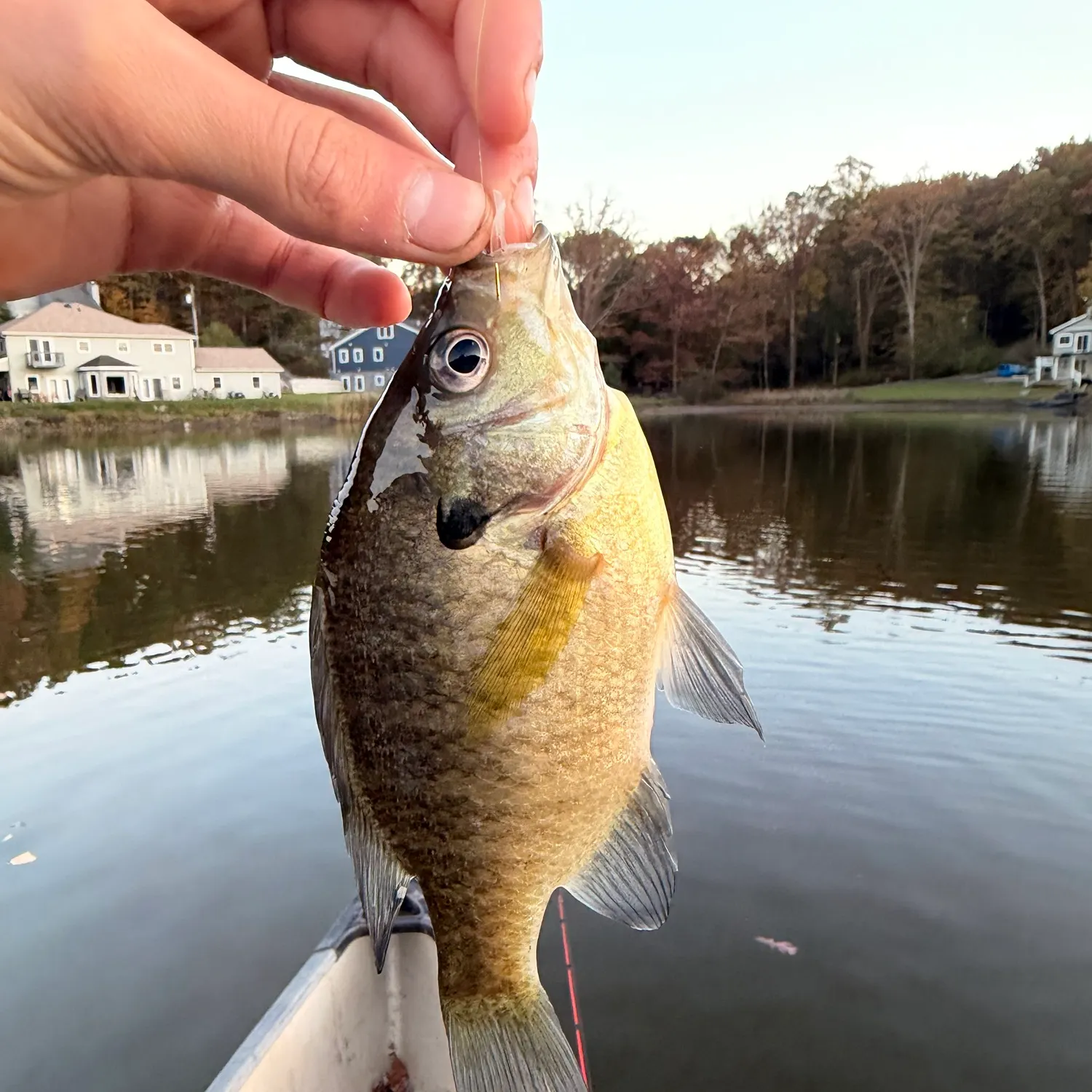
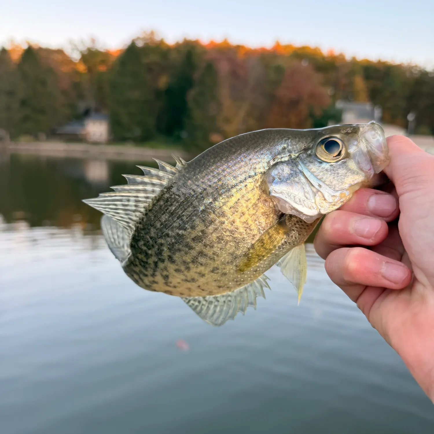
Top fish species caught in West Virginia

Download the Bitetime appDownload the Bitetime app
Download the Bitetime app
Download the Bitetime appDownload the Bitetime app
Download the Bitetime app
Download the Bitetime appDownload the Bitetime app
Download the Bitetime app

Biggest catches in West Virginia

Explore your local leaderboard—see the top catches in the app.

State records of caught fish in West Virginia

SpeciesWeightFlathead catfish70 lbsChannel catfish33.4 lbsLargemouth bass12.3 lbsRainbow trout11.7 lbsSmallmouth bass9.7 lbsBluegill2.7 lbs

Latest West Virginia fishing reports
fish catches icon
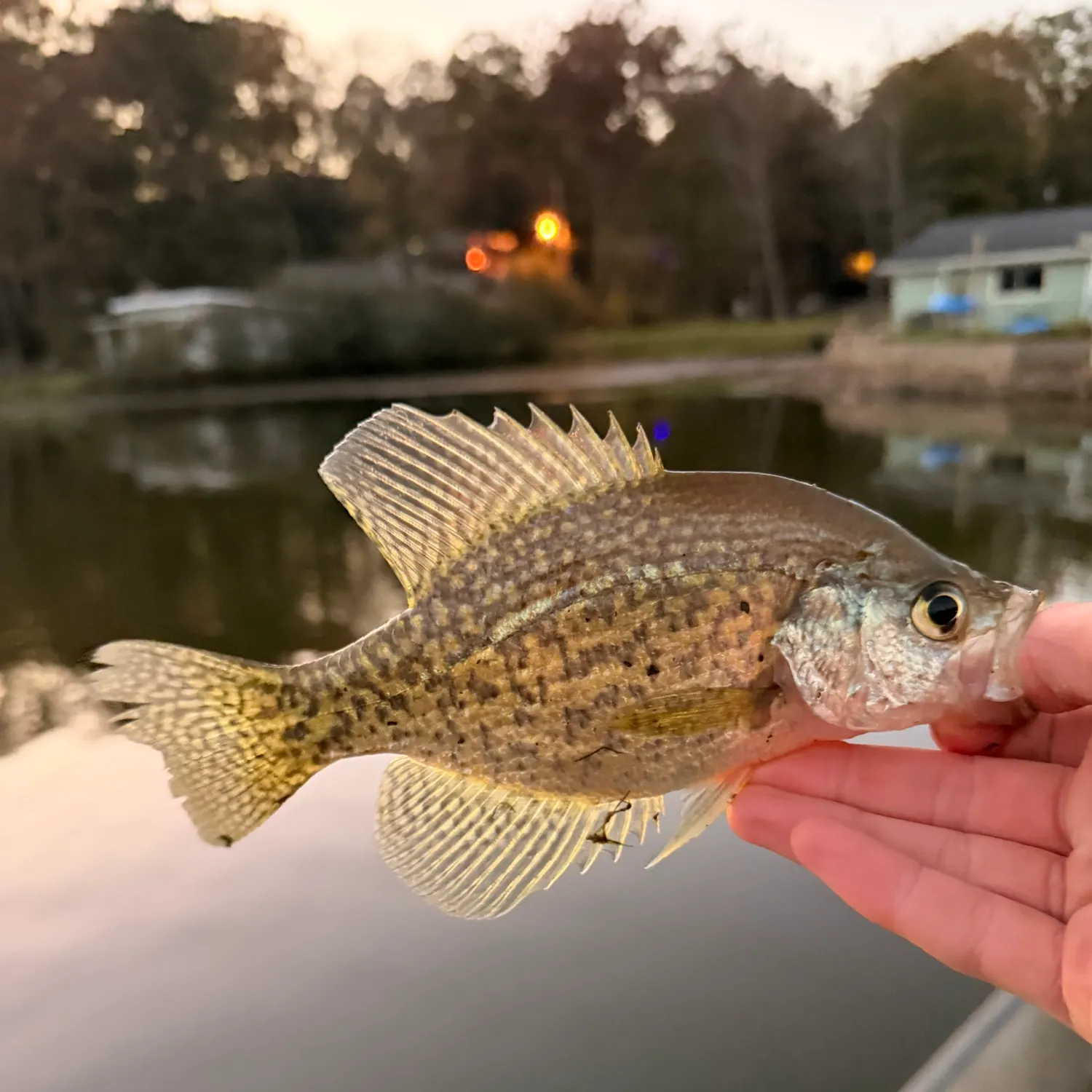
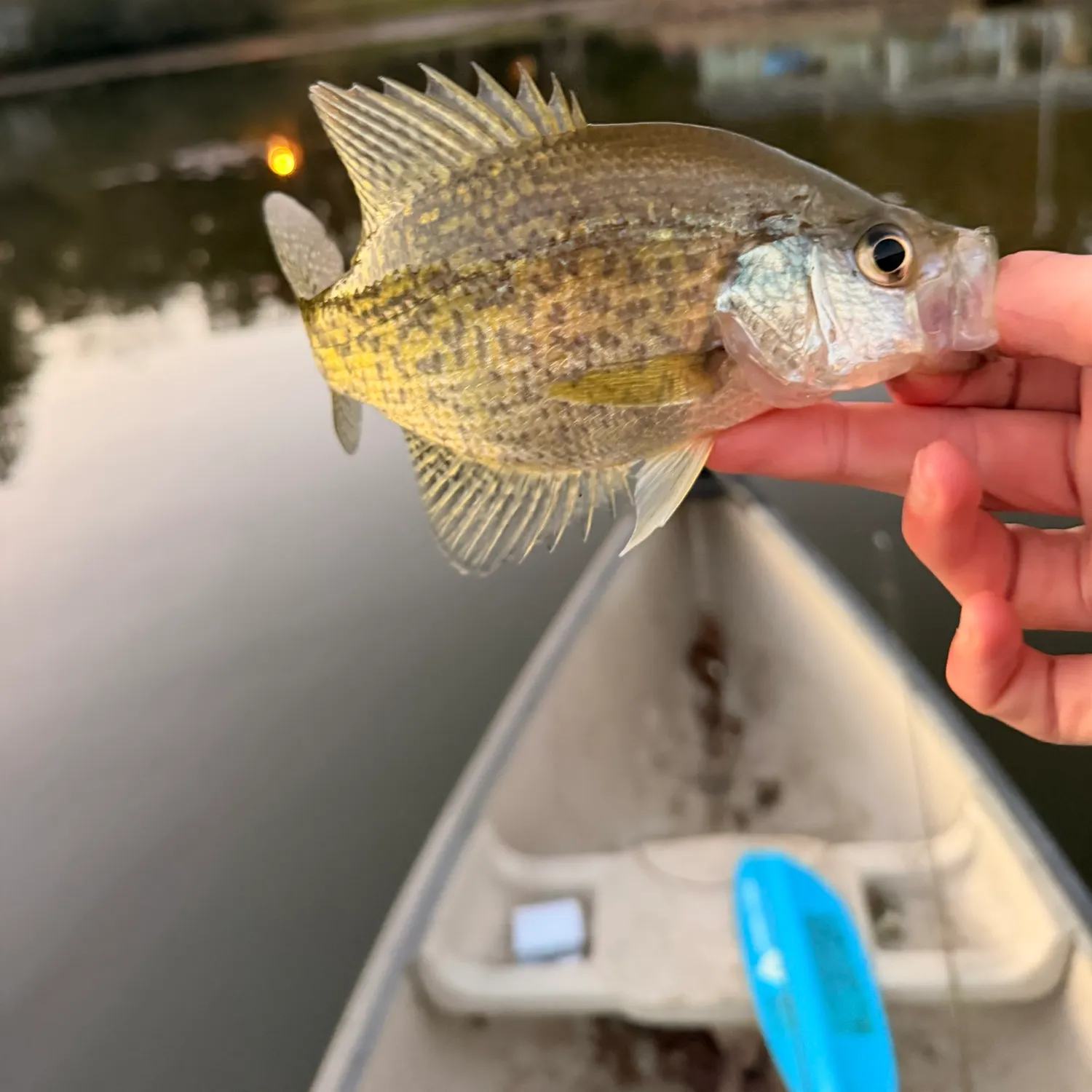
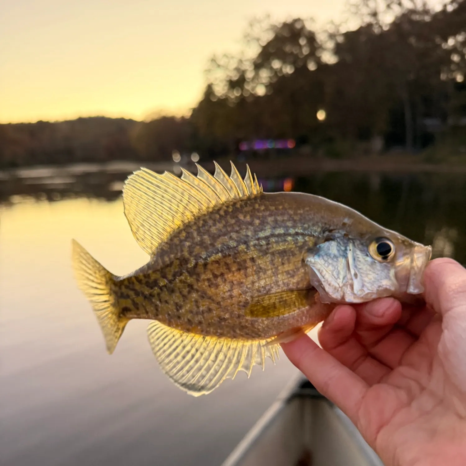
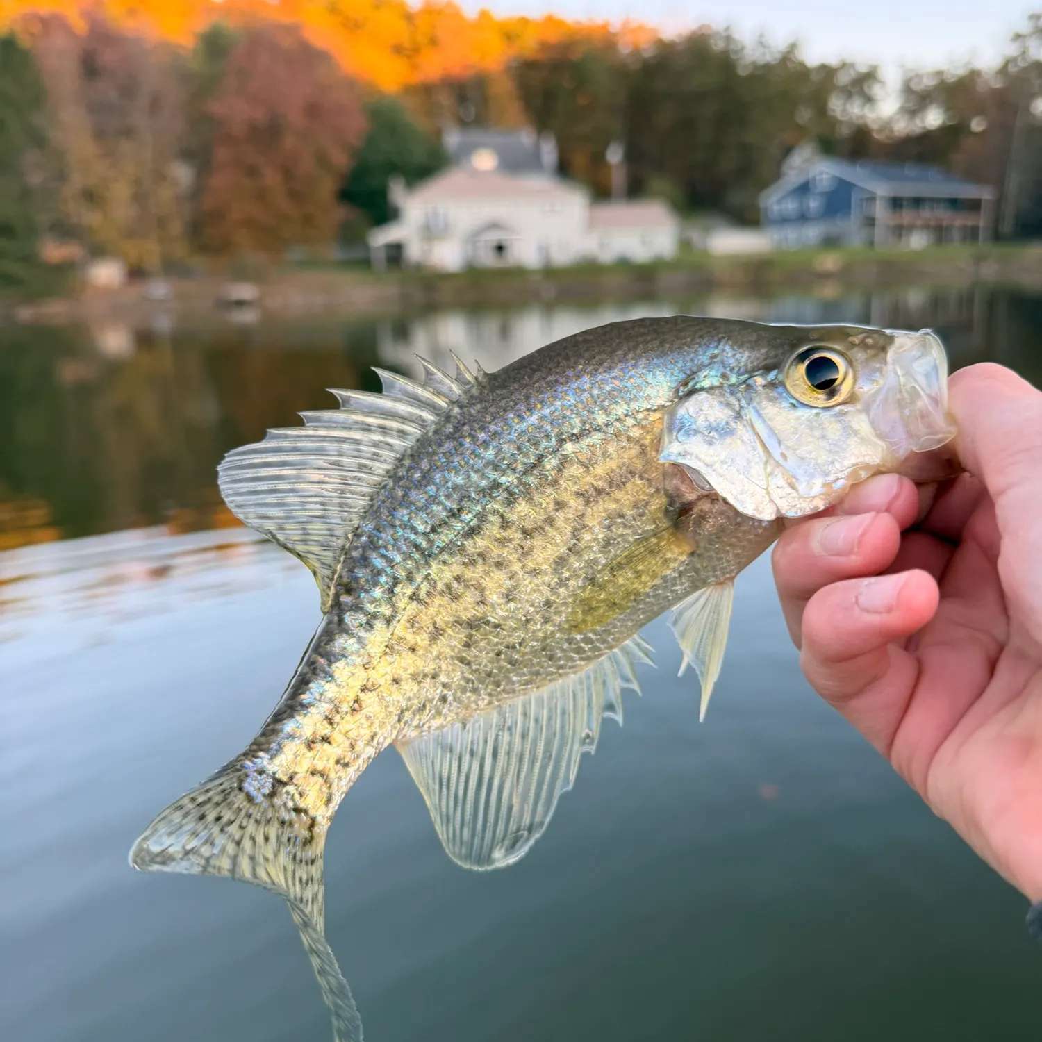
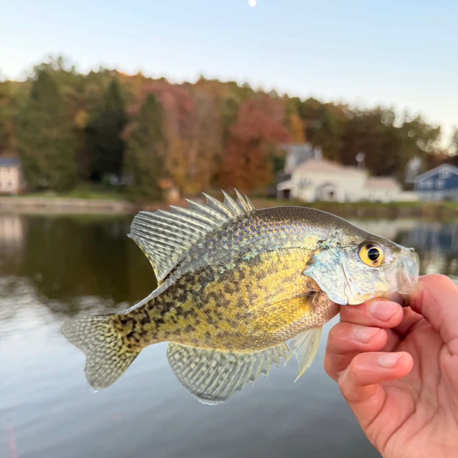
Black crappie caught on Fishbrain
Loading...

Black crappie

Glenwood Park Lake

length · weight

fish catches icon
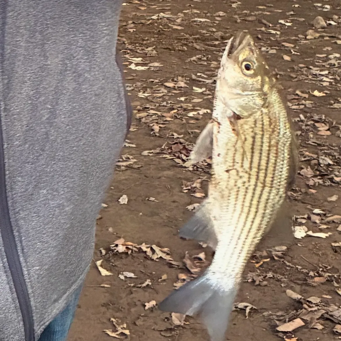
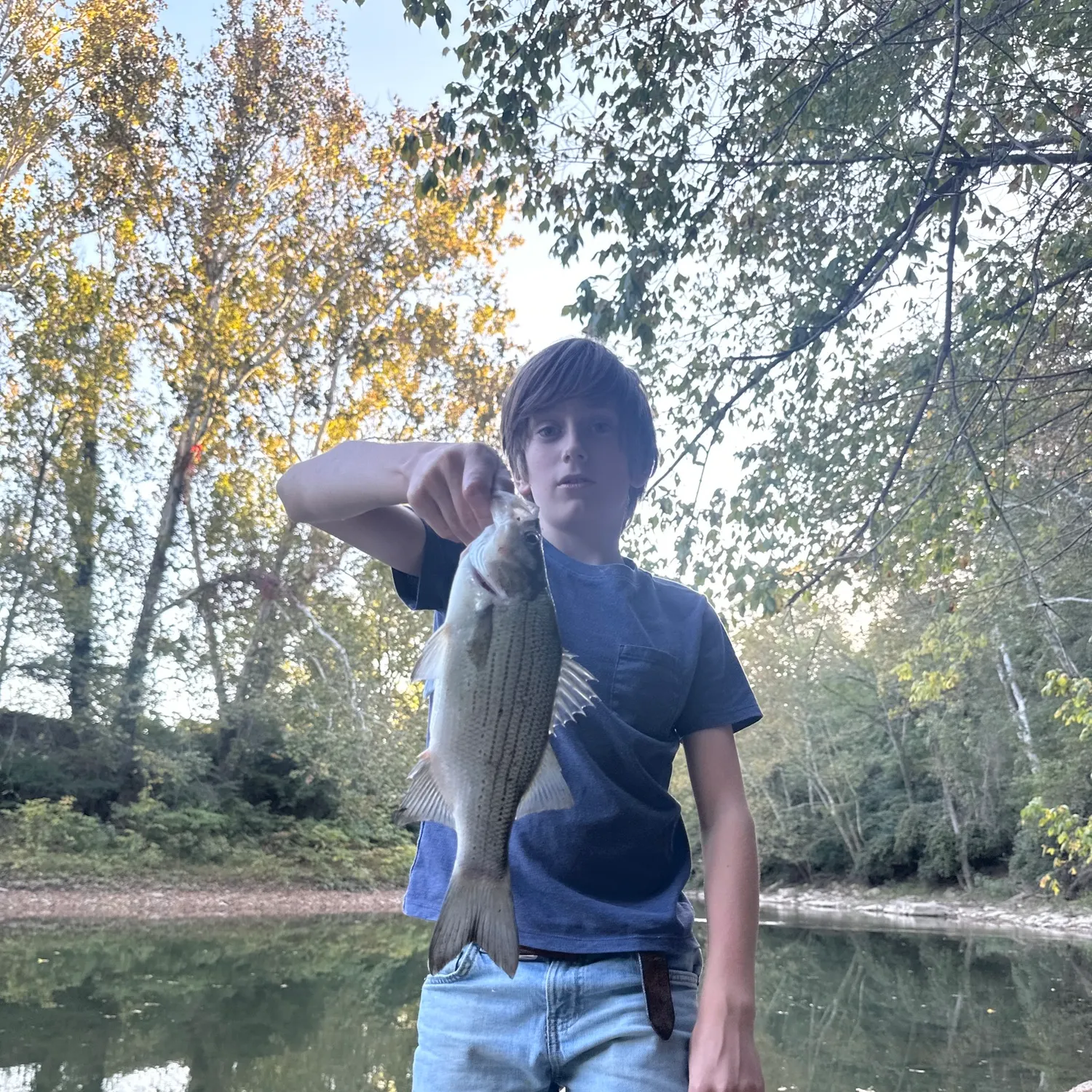
Wiper caught on Fishbrain
Loading...

Wiper

Ohio River (East Liverpool - Lawrenceburg)

length · weight

fish catches icon
Sauger caught on Fishbrain
Loading...

Sauger

Ohio River (East Liverpool - Lawrenceburg)

length · weight

fish catches icon
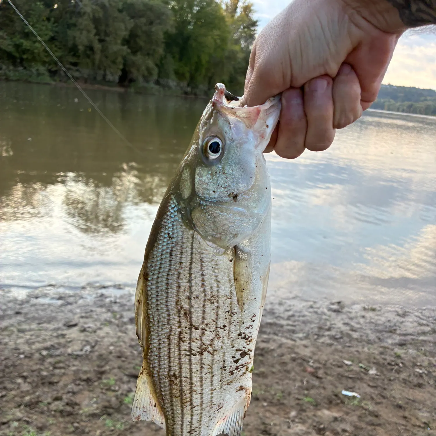
Wiper caught on Fishbrain
Loading...

Wiper

Ohio River (East Liverpool - Lawrenceburg)

length · weight

fish catches icon
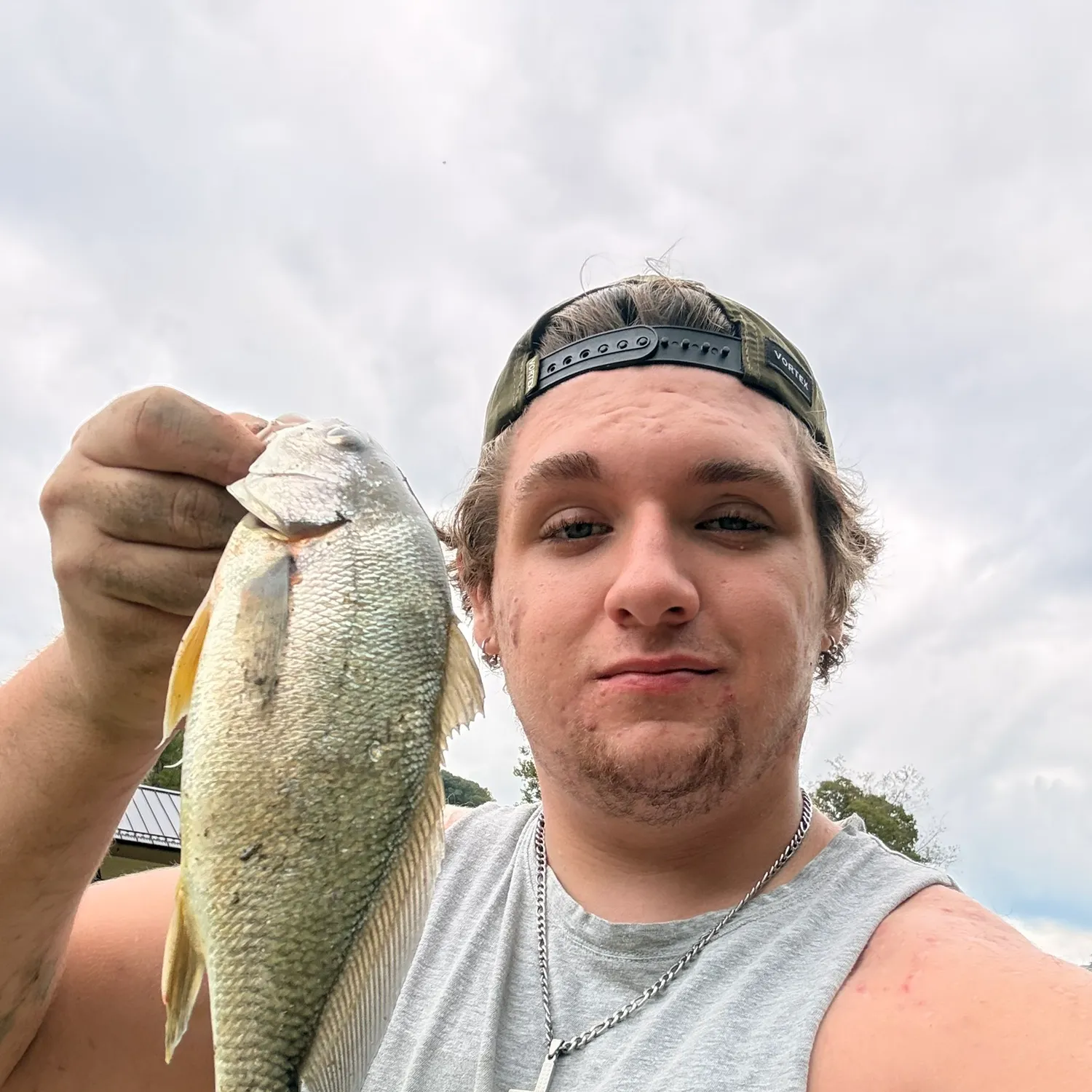
Freshwater drum caught on Fishbrain
Loading...

Freshwater drum

Wheeling Creek

10 in · 1 lb

fish catches icon
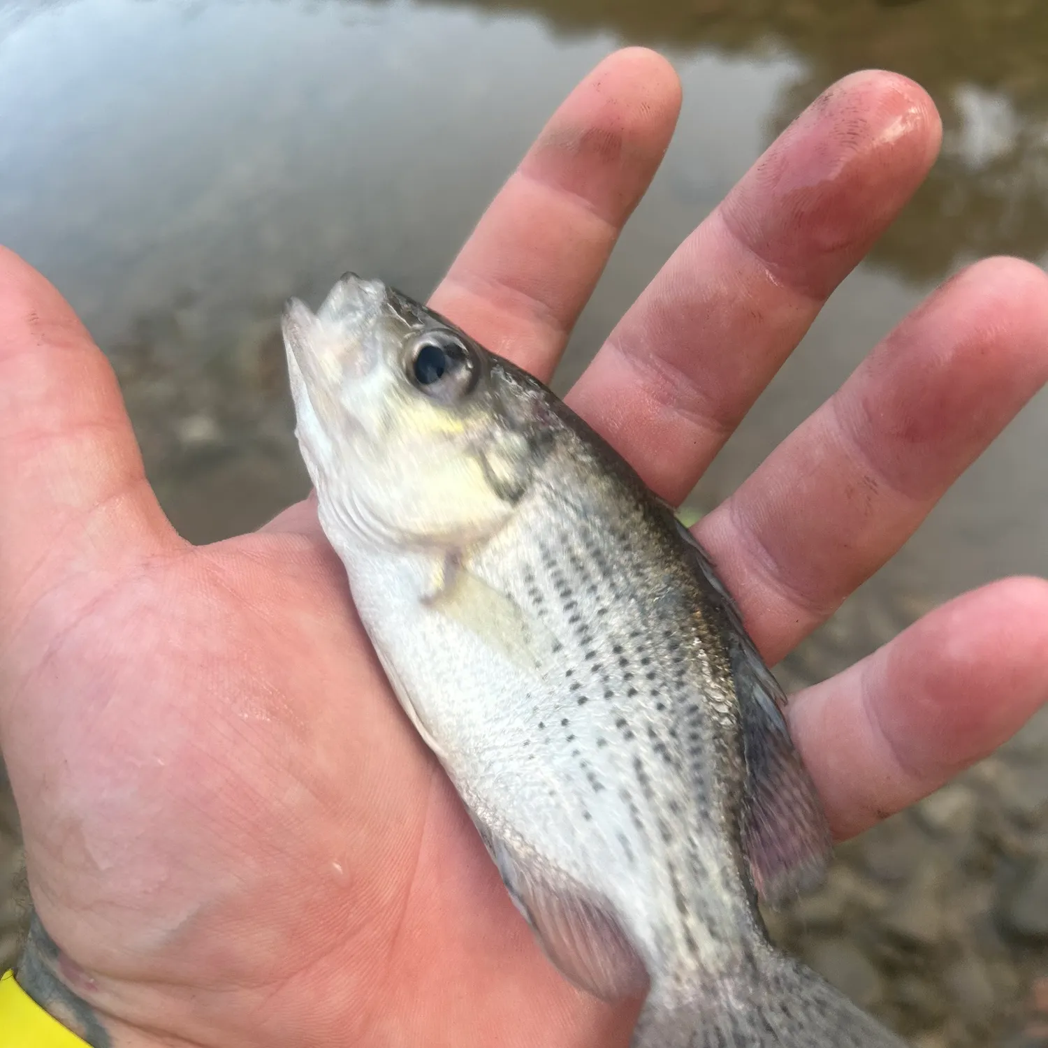
Wiper caught on Fishbrain
Loading...

Wiper

Ohio River (East Liverpool - Lawrenceburg)

length · weight

fish catches icon
Wiper caught on Fishbrain
Loading...

Wiper

Ohio River (East Liverpool - Lawrenceburg)

length · weight

fish catches icon
Yellow bullhead caught on Fishbrain
Loading...

Yellow bullhead

Cabin Run

length · weight

fish catches icon
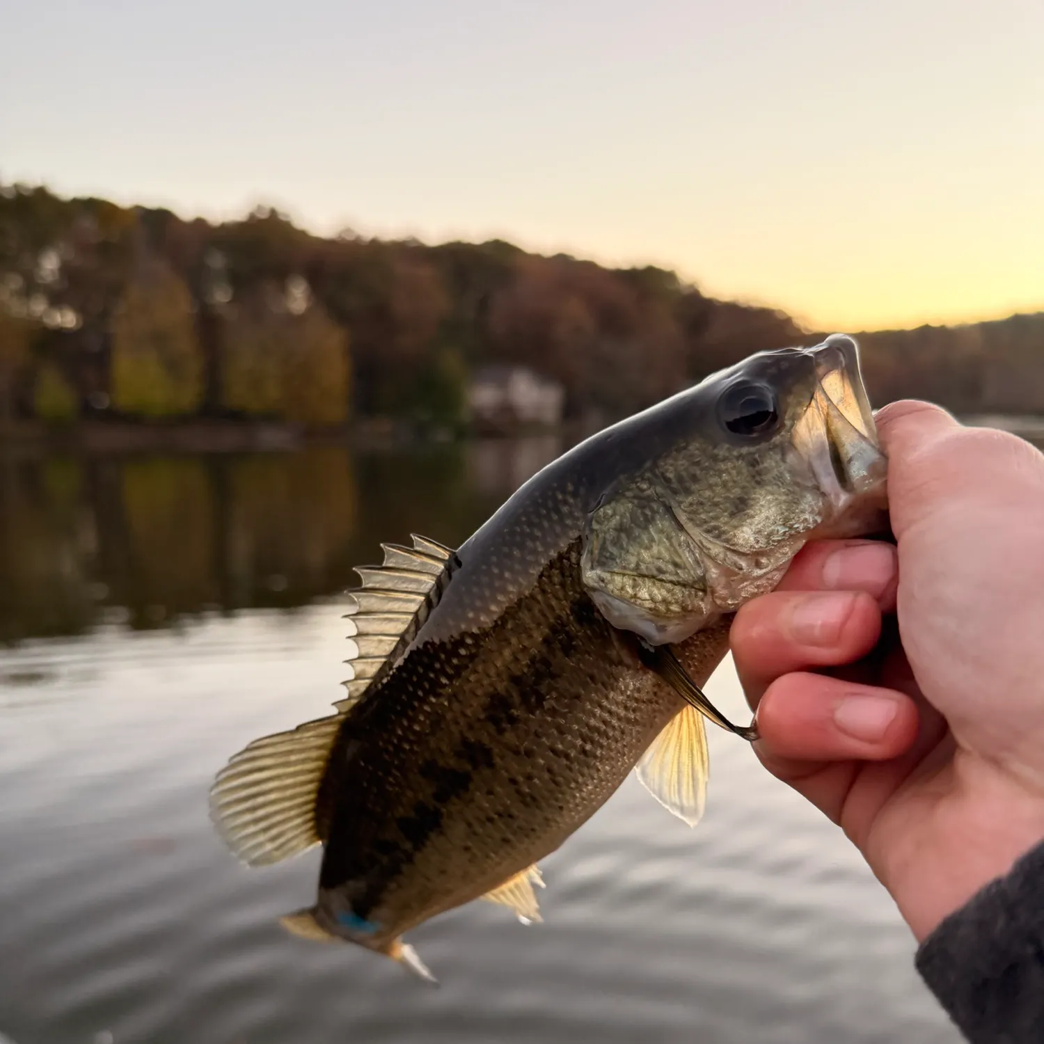
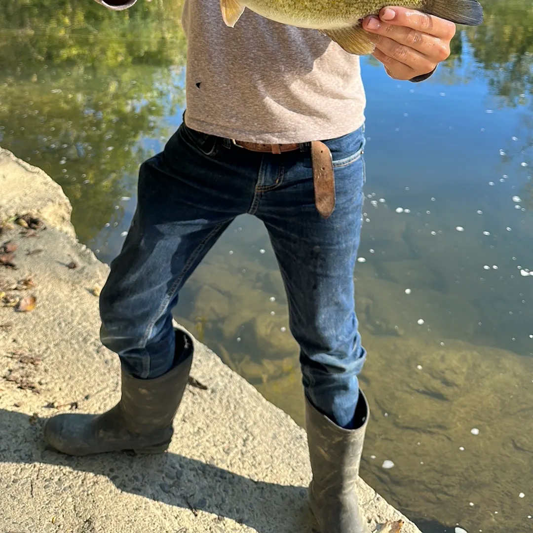
Largemouth bass caught on Fishbrain
Loading...

Largemouth bass

Rocky Fork

length · weight

fish catches icon
Wiper caught on Fishbrain
Loading...

Wiper

Grave Creek

length · weight

Fishbrain
More catches in the app...

Continue browsing catches and catch locations in the Fishbrain app

Loading...
Loading...
Loading...

Fishing regulations in West Virginia

Disclaimer: Always check local fishing regulations, water access rights and land ownership before fishing, regardless of any catches logged in that area by the Fishbrain community. Fishbrain has mapped millions of acres of government-owned land across the USA to help you identify potential fishing access, but you are responsible for ensuring compliance with all legal requirements.

Fishing regulations in West Virginia can change throughout the year. Make sure to check this page before fishing for the most up to date rules and regulations for the current season. Local regulations govern when you can fish, the max size of the fish you can keep, how many fish you can keep, and more.

Below you will see fishing regulations for catching Rainbow trout as of September 9th, 2026. To view regulations for a different fish species, please click on your preferred species in the drop-down.

Rainbow trout

Seasons

Open

Bag limit

6

Aggregate

6
Restrictions & requirements
Additional information
No size limit. Possession limit = 12 trout (rainbow, golden rainbow, tiger, brown, brook) in any combination.SPECIAL AREA REGULATIONS:1 - For the waters listed below: (1) Fishing permitted during daylight hours only, except that on the three North Branch of the Potomac River Catch-and-Release Trout Fishing Areas fishing is permitted between the hours of 5:30 a.m. and 10 p.m. only. (2) Only artificial flies and lures made of metal, wood, feathers, hair, or synthetic material may be used or possessed on catch-and-release trout streams. No lure or fly with any scent, oil, or edible enticement added onto, or impregnated into (regardless if the scent is added in the manufacturing process or applied afterward), may be used or possessed on any catch-and-release trout stream. (3) Multiple hook lures must have barbless hooks (except on the North Branch of the Potomac River Catch & Release areas). (4) Single hook lures may have barbed hooks. (5) All trout caught must be returned to the water at once. (6) No trout shall be in the angler's possession while on stream sections designated as catch-and-release streams. (7) Powerbait, Gulp and other manufactured scented baits are considered illegal under this section and may not be used or possessed on catch-and-release streams.Back Fork of Elk River – Webster County (4-mile section beginning 2 miles upstream from Webster Springs and extending upstream. Access by county Routes 24 and 24/3).Barkers Creek of Guyandotte River – Wyoming County (from the mouth of Barkers Creek upstream to include the entire drainage area for a total of 88 stream miles).Blackwater River – Tucker County (3.5-mile section from the county Route 29/1 bridge in Blackwater Falls State Park downstream to the mouth of the North Fork).Bluestone River – Summers County (1-mile section from the mouth of Mountain Creek downstream to a stream gauge station within Pipestem State Park).Cranberry River – Webster, Pocahontas and Nicholas counties (4.3-mile section from the junction of the North and South forks downstream to the low water bridge at Dogway Fork. Access by foot on National Forest Route 76 from the Cranberry Glades parking area).Elkhorn Creek – McDowell County (from the mouth of Elkhorn Creek upstream to include the entire drainage area for a total of 171 stream miles).Elk River – Randolph County (2-mile section from the Elk Springs Campground downstream to Rose Run bridge. Access by county Route 49 off state Route 15 about 4 miles west of Valley Head).Glade Creek of New River – Raleigh County (3-mile section from the mouth upstream to the National Park Service foot bridge. Access by Glade Creek Road off state Route 41).Guyandotte River – Wyoming and Raleigh counties (entire drainage upstream of railroad bridge in Mullens, including all tributaries and totaling 101 miles).Middle Fork of Williams River and tributaries – Webster/Pocahontas counties.Mill Creek – Randolph County (entire length of Mill Creek and its tributaries within Kumbrabow State Forest).North Branch of Potomac River – Grant and Mineral counties (see the current Maryland Fishing Regulations for special regulations on the North Branch of the Potomac and Potomac rivers).North Fork of Cherry River – Nicholas County (1.8-mile section extending upstream from Richwood's water supply dam to first state Route 39 bridge. Access by state Route 39).North Fork of Cranberry River – Pocahontas County (0.25-mile section from the mouth upstream to the limestone treatment dam. Access by foot on National Forest Route 76).North Fork of the South Branch – Pendleton County (0.75-mile section at the mouth of Seneca Creek near Seneca Rocks Visitors Center. Access by county Route 28/3 at junction of state Route 28 and U.S. Route 33 at Seneca Rocks).Otter Creek and tributaries – Randolph/Tucker counties.Red Creek and tributaries – Tucker County (upstream of county Route 45 bridge).Seneca Creek – Pendleton County (0.20-mile section from the mouth extending upstream to the Route 28 bridge):Slatyfork section of Elk River – Pocahontas County (4.6-mile section from the junction of Big Spring and Old Field forks downstream to the mouth of Dry Branch, including Props Run and Big Run. Access by foot from county Routes 219/2 on the north and 219/12 on the south).South Branch of the Potomac River – Pendleton County (1-mile section beginning 2 miles below U.S. Route 220 at Eagle Rock and extending downstream. Access by county Route 2).Tea Creek and tributaries – Pocahontas County (Upstream of Tea Creek Campground).2 - For waters listed below: (1) Catch-and-release regulations apply: November 1 – May 15. (2) General regulations apply: May 16 – October 31.Clear Fork of the Guyandotte River – Wyoming County (1-mile section from the R.D. Bailey WMA manager's residence downstream to the state Route 6 bridge).Middle Wheeling Creek – Ohio County (1.2-mile section from just above the upper limits of Middle Wheeling Creek Lake upstream to mouth of Gillespie Run. Access by county Route 39/6).Paint Creek - Fayette and Kanawha counties (from Ash Branch upstream 12.5 miles to the mouth of Milburn Creek).Shavers Fork River - Randolph County (the 5.5-mile section extending from the mouth of Whitmeadow Run downstream to the mouth of McGee Run).Williams River - Pocahontas County (from a signed location approximately 2 miles downstream of Tea Creek extending 2 miles downstream. Access by National Forest Route 86).3 - For waters listed below: (1) Fishing permitted during daylight hours only. (2) Only artificial flies and streamers may be used or in possession on any of the fly fishing-only streams. (3) Only conventional fly fishing tackle may be used. (4) Open-face and closed-face spinning or spincast reels are prohibited. (5) All fish caught must be returned to water at once. (6) No trout shall be in the angler's possession while on stream sections designated as fly-fishing-only streams. (7) No lure or fly with any scent, oil, or edible enticement added onto, or impregnated into (regardless if the scent is added in the manufacturing process or applied afterward), may be used or possessed on any fly-fishing-only trout stream. (8) Powerbait, Gulp and other manufactured scented baits are considered illegal under this section and may not be used or possessed on catch-and-release streams.Dogway Fork of the Cranberry – Webster, Pocahontas and Greenbrier counties (Main stream and all tributaries of Dogway Fork. Access by foot on National Forest Route 78).Edwards Run – Hampshire County (upstream of the Edwards Run Pond 1.25 miles to the upstream boundary of Edwards Run WMA).Milligan Creek – Greenbrier County (marked area about 1 mile north of U.S. Route 60 from the county Route 60/15 bridge extending downstream about .33-mile to a fence crossing).Red Run of Dry Fork – Tucker County (main stream and all tributaries of Red Run. Access by foot from state Route 72 and National Forest Route 13).Second Creek – Greenbrier and Monroe counties (marked 2.4-mile section on the Monroe/Greenbrier county line at Rodgers Mill).Spring Run – Grant County (marked one mile section along Spring Run Road near Dorcas).Thorn Creek – Pendleton County (marked .5-mile section beginning approximately 3 miles above the mouth. Access is by county Route 20).4 - For waters listed below: daily creel limit = 2 trout (rainbow, golden rainbow, tiger, brown, brook) in any combination.Stephens Lake - Raleigh County5 - Jennings Randolph Lake: See Maryland Fishing Regulations.
Edibility
Excellent
Synonyms

Oncorhynchus mykiss

Regulations for

38°20′58.2″N 81°37′59.9″W
Regulations in the map
App Section
Download Fishbrain and fish smarter
Unlimited access to the best fishing spot finder in the game. Get all the fishing intel you need to start catching more, and bigger, fish.

Free trial available

Loading...
Loading...
Loading...
Loading...

FAQ about West Virginia fishing

📜 What are the fishing regulations in West Virginia, United States?
Fishing regulations in West Virginia, United States vary by location, species, and season. Rules may include size limits, bag limits, licensing requirements, and protected areas. Because regulations are managed locally and can change throughout the year, it's important to check the latest official guidance before fishing.

To stay up to date and avoid guesswork, use the to explore local rules, discover popular waters, and see what other anglers are catching across United States.
🐟 What are the best fish species to catch in West Virginia, United States?
Some of the most popular species anglers target in West Virginia, United States include Rainbow trout, Largemouth bass, and Flathead catfish. The best species often depend on season, water type, and location within the country.

For more detailed, real-time insights, the shows which species are being caught near you and what baits are working best across United States.
🌊 Where are the top fishing spots in West Virginia, United States?
Some of the most popular fishing spots in West Virginia, United States include Ohio River (East Liverpool - Lawrenceburg), Kanawha River, and Guyandotte River. Anglers across the country fish a wide range of waters, with opportunities varying by region and season.

With the , you can explore local hotspots anywhere in United States, see recent catches, and find out what's working near you.