
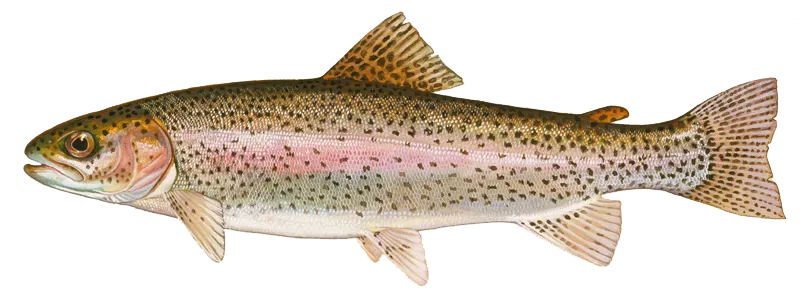
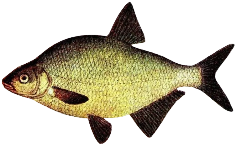

Check which species have trophy potential in Ruisseau de l'Ours
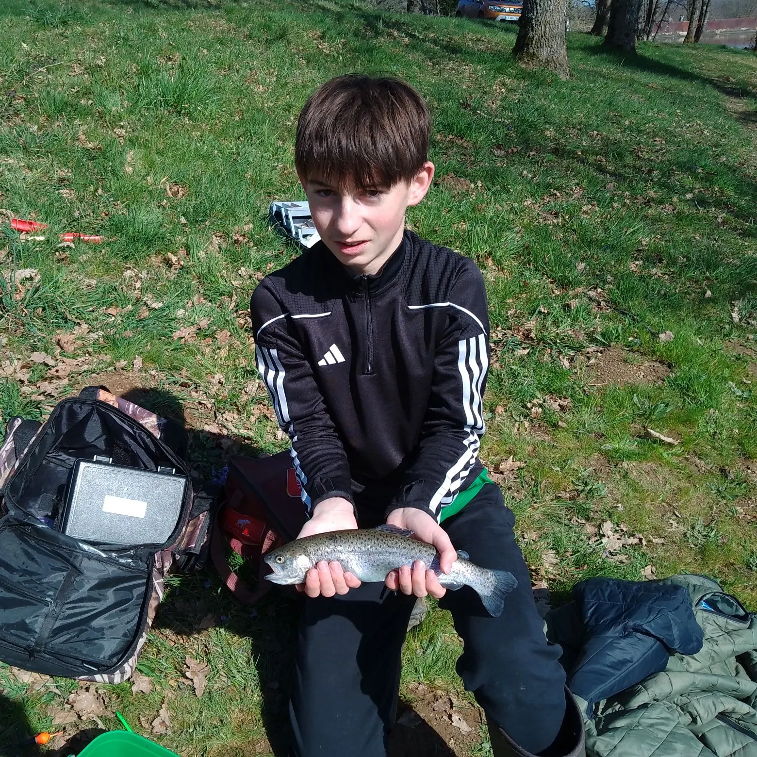
Ruisseau de l'Ours fishing reports
length · weight

Have you been fishing here?
Log your catch and check out other catches from the community in the Fishbrain app.

Download Fishbrain and fish smarter
Unlimited access to the best fishing spot finder in the game. Get all the fishing intel you need to start catching more, and bigger, fish.
Free trial available