Perwick BayPort Saint Mary BayCalf SoundFleshwick BayCastletown BayRiver NebRiver GlassDouglas HarbourRhenasPort Groudle

Port Saint Mary
Fishing spots, fishing reports, and regulations in
9 catches
9
Logged catches
Top fish species at Port Saint Mary
See all species in the Fishbrain app

Check which species have trophy potential in Port Saint Mary
Port Saint Mary fishing reports

More catches in the app...
Continue browsing catches and catch locations in the Fishbrain app
FAQ about Port Saint Mary fishing
Port Saint Mary is a water located in Isle of Man. Its coordinates are:
54°04′25.3″N 4°44′3.2″W
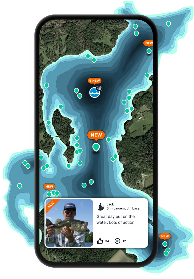
.Find the best fishing spots on Port Saint Mary by looking at where other anglers have caught fish. This can easily be done in the where it is also possible to see big fish potential and how good fishing is right now along with Garmin® depth maps.
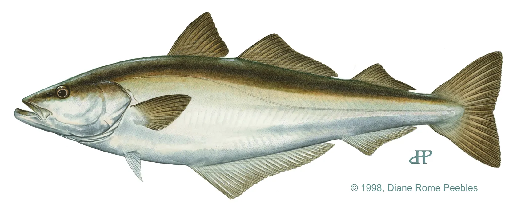
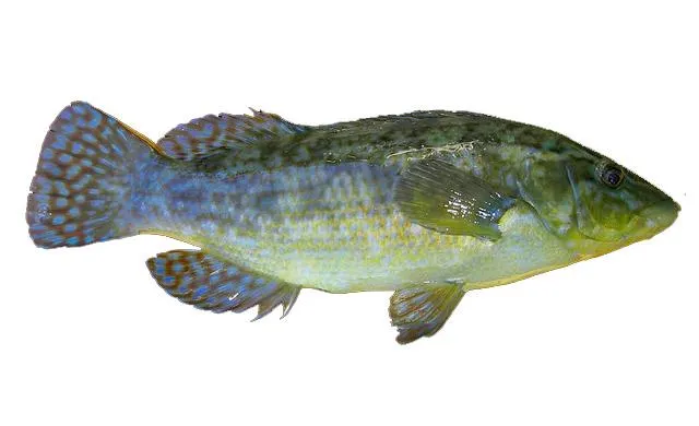
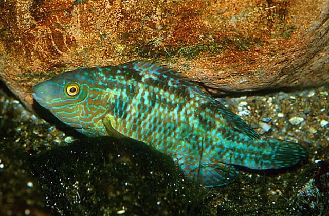
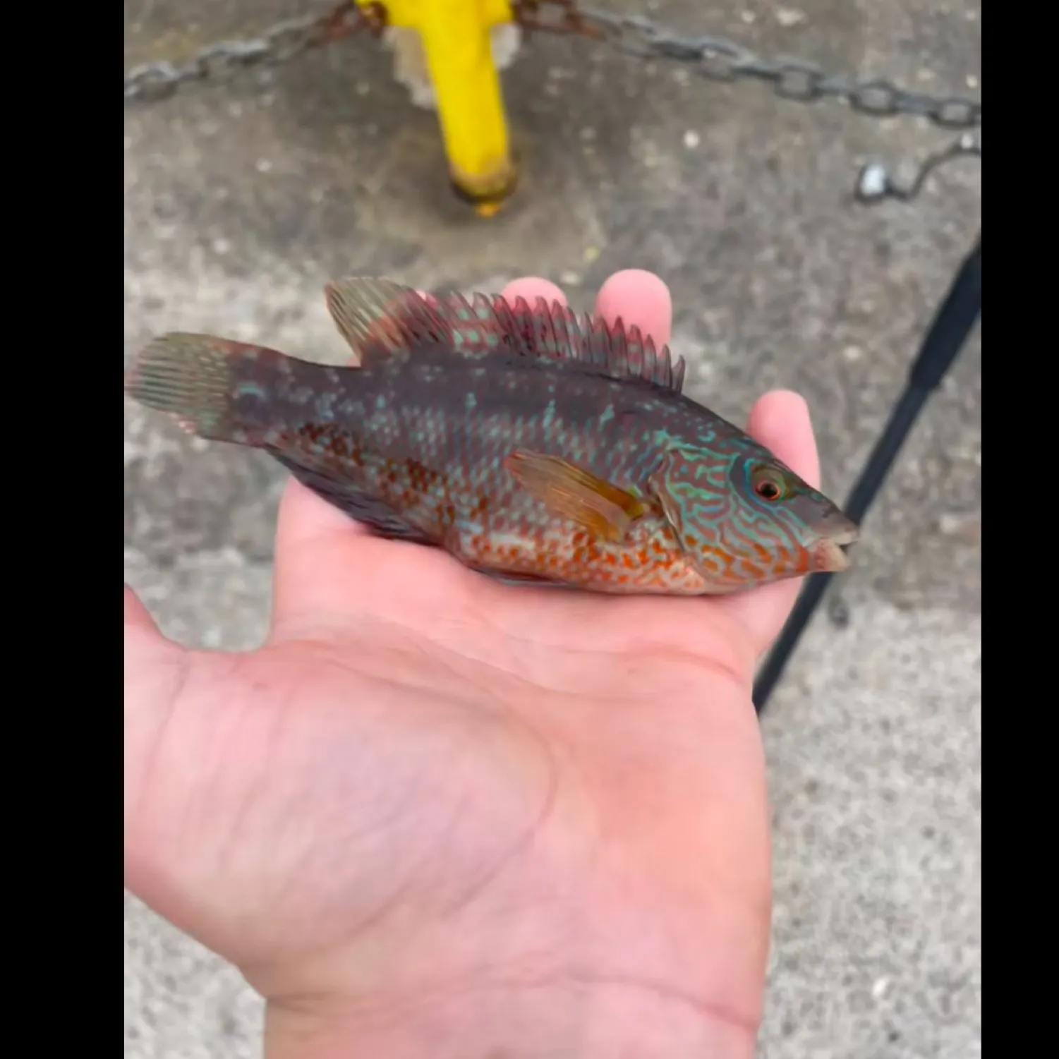
The most common species in Port Saint Mary are:
- Pollack - 2 members reported to have caught this fish
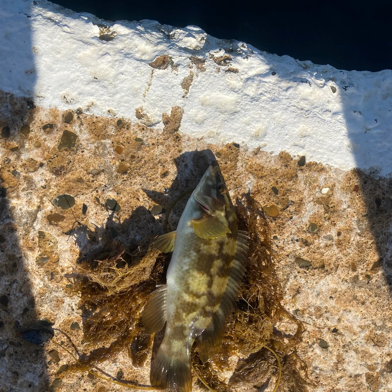
- Ballan wrasse - 1 members reported to have caught this fish
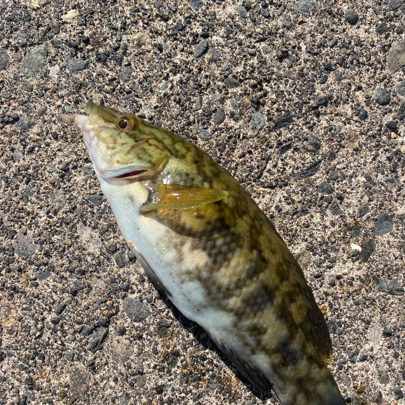
- Corkwing wrasse - 1 members reported to have caught this fish
The latest Port Saint Mary fishing reports are:
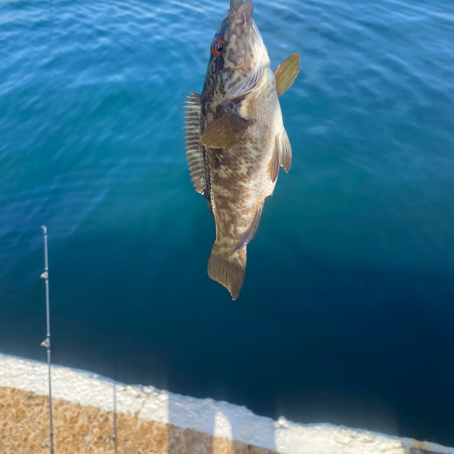
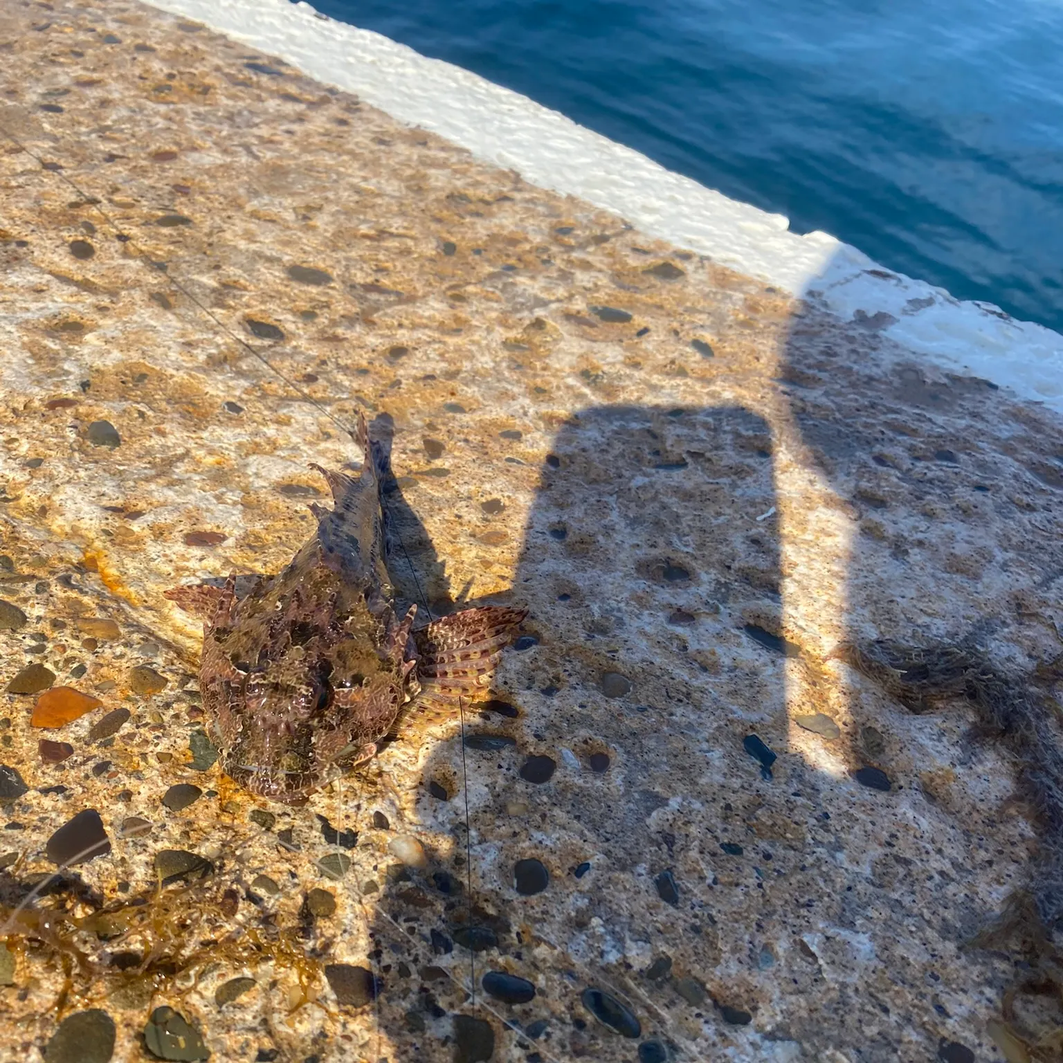
- @liamkozakiewicz reported a nice Rock bass.
- @liamkozakiewicz reported a nice Rock bass.
- @liamkozakiewicz reported a nice Quillback rockfish.
- @liamkozakiewicz reported a nice Ballan wrasse.
- @liamkozakiewicz reported a nice Ballan wrasse.
Download Fishbrain and fish smarter
Unlimited access to the best fishing spot finder in the game. Get all the fishing intel you need to start catching more, and bigger, fish.
Free trial available