Map

Low Bay

Fishing spots, fishing reports, and regulations in
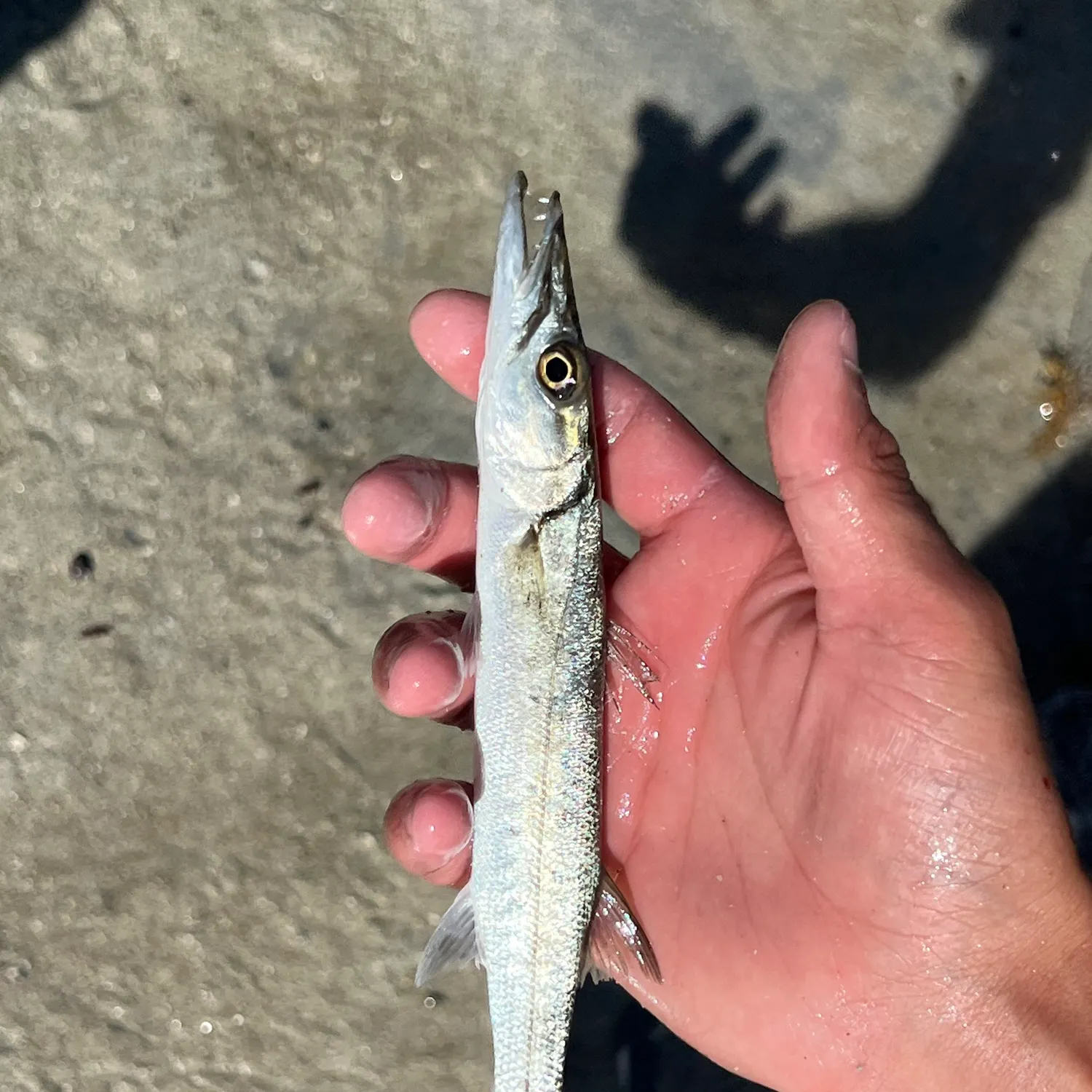
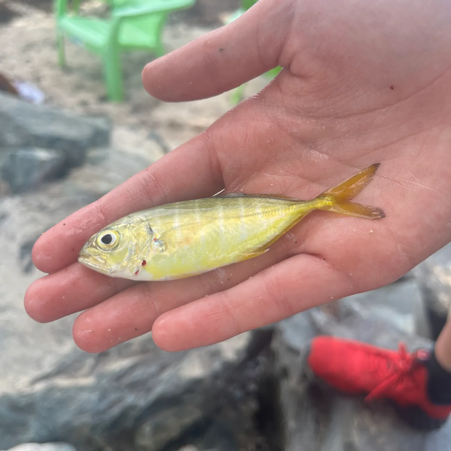
6 catches

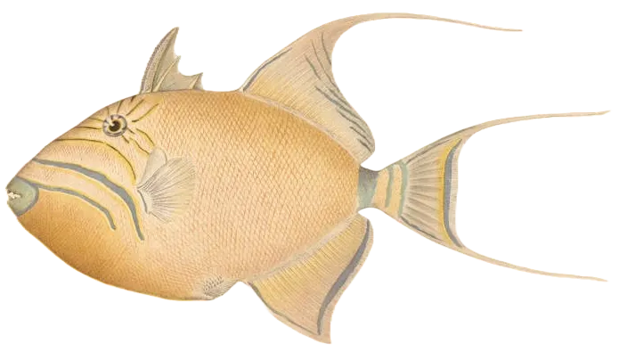
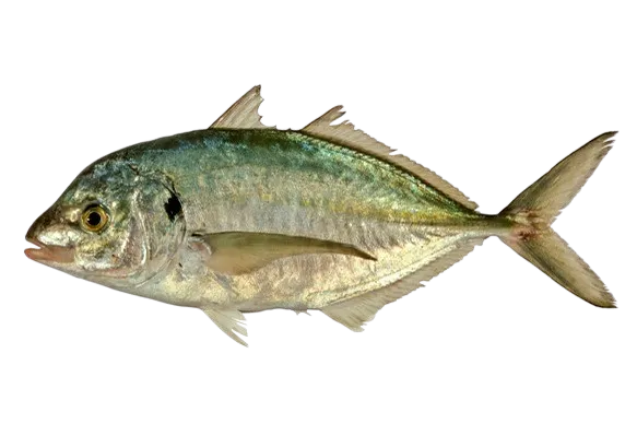
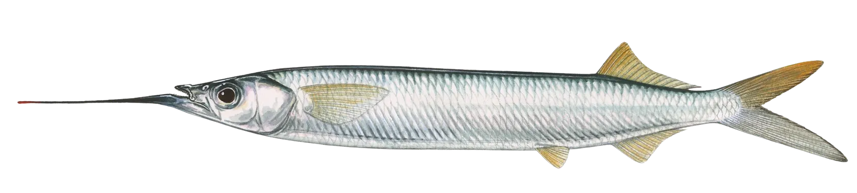
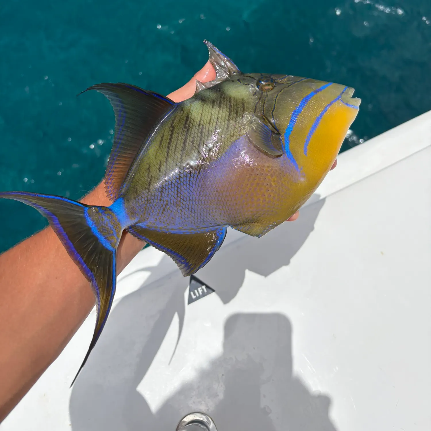
Top fish species at Low Bay

App Section

Check which species have trophy potential in Low Bay

Low Bay fishing reports

fish catches icon
recently logged catches
Loading...

Queen triggerfish

length · weight

fish catches icon
recently logged catches
Loading...

Southern sennet

length · weight

fish catches icon
recently logged catches
Loading...

Ballyhoo halfbeak

length · weight

fish catches icon
recently logged catches
Loading...

Beaugregory

length · weight

fish catches icon
recently logged catches
Loading...

White trevally

length · weight

fish catches icon
recently logged catches
Loading...

Tarpon

42 in · 25 lb

Fishbrain
More catches in the app...

Continue browsing catches and catch locations in the Fishbrain app

Loading...
Loading...
Loading...

General info

Low Bay is a water located in British Virgin Islands. It is most popular for fishing Queen triggerfish, White trevally, and Ballyhoo halfbeak.

Location

18°27′0″N 64°31′59.9″W
Directions

Anything missing or inaccurate?

Suggest changes to improve what we show.

Suggest changes

FAQ about Low Bay fishing

Low Bay is a water located in British Virgin Islands. Its coordinates are:
18°27′0″N 64°31′59.9″W
.
Find the best fishing spots on Low Bay by looking at where other anglers have caught fish. This can easily be done in the where it is also possible to see big fish potential and how good fishing is right now along with Garmin® depth maps.
The most common species in Low Bay are:
The latest Low Bay fishing reports are:
App Section
Download Fishbrain and fish smarter
Unlimited access to the best fishing spot finder in the game. Get all the fishing intel you need to start catching more, and bigger, fish.

Free trial available

Loading...
Loading...
Loading...
Loading...