Man O’ War BaySandy BaySaddle BayThe GhutMachineel BayKingfish BanksBrown GhutThatch Island CutBrewers BayJohnny Cake Ghut

Barracouta Banks
Fishing spots, fishing reports, and regulations in
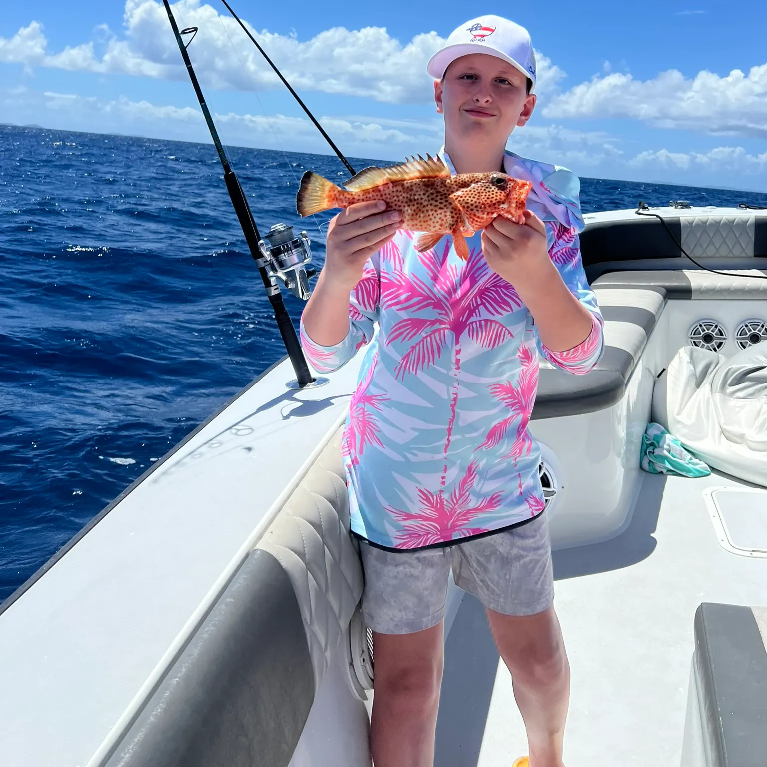
4.0·28 catches
28
Logged catches
4.0
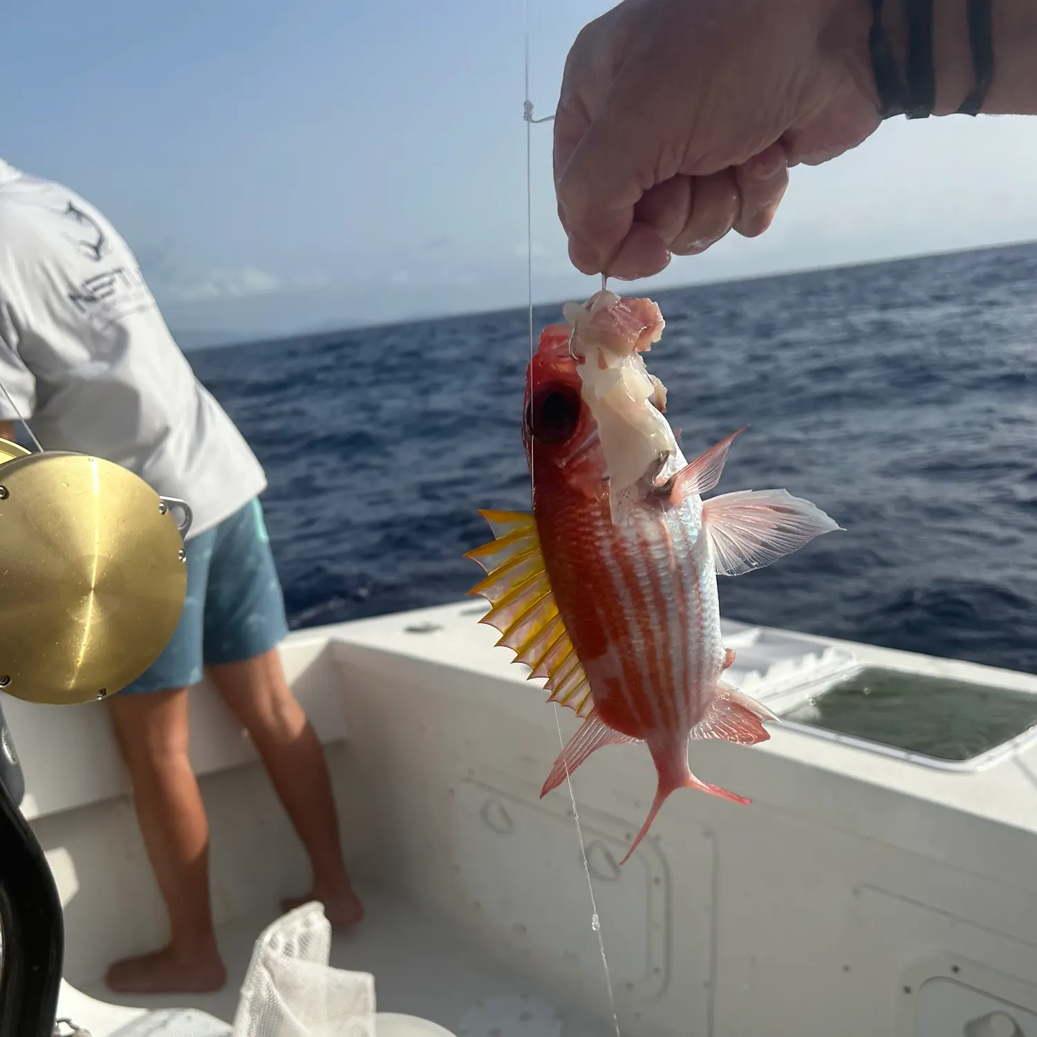
Top fish species at Barracouta Banks
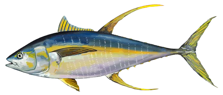
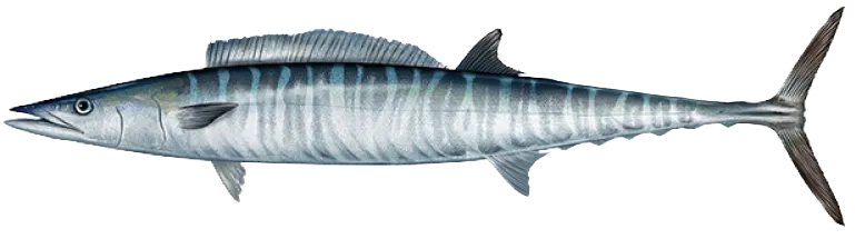
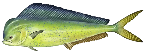
See all species in the Fishbrain app

Check which species have trophy potential in Barracouta Banks
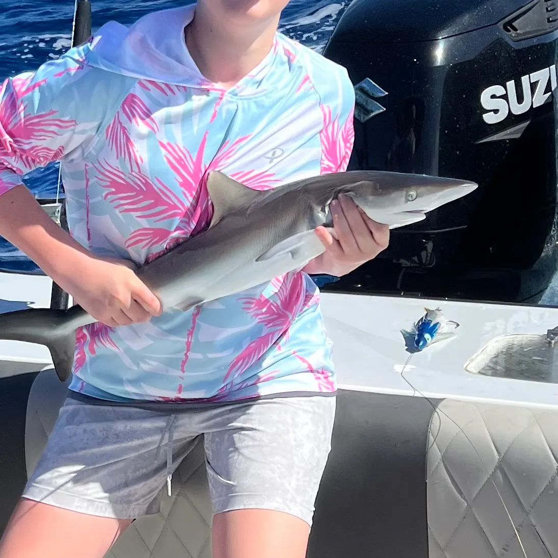
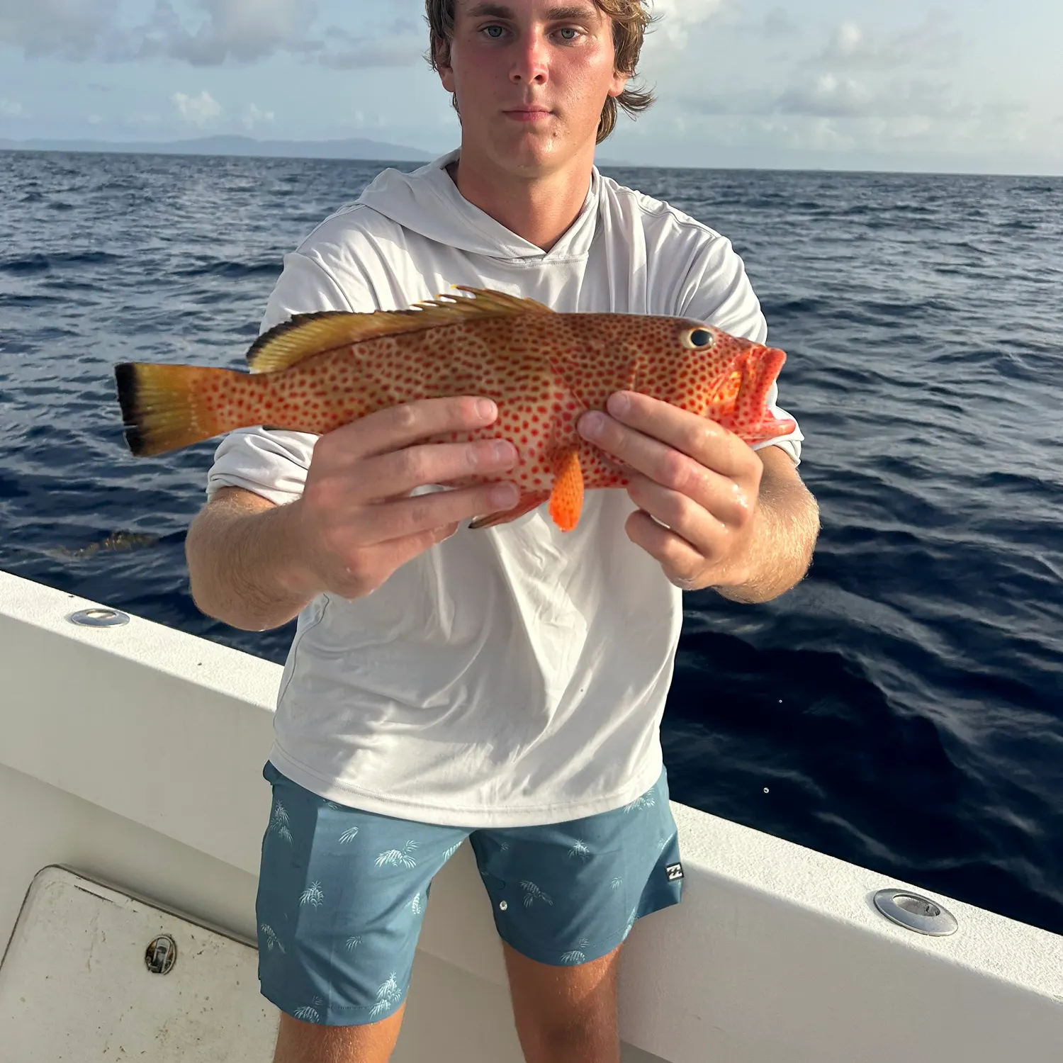
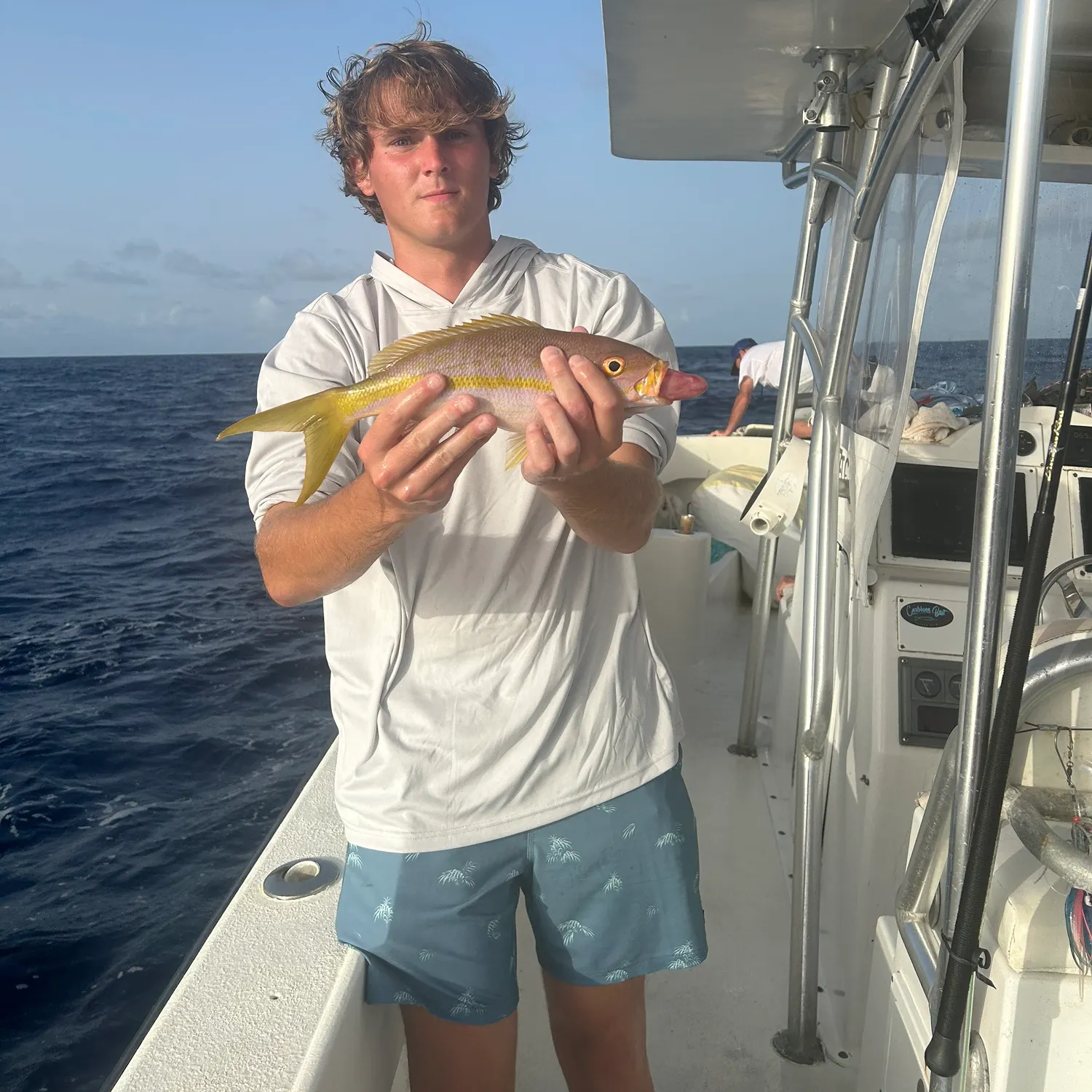
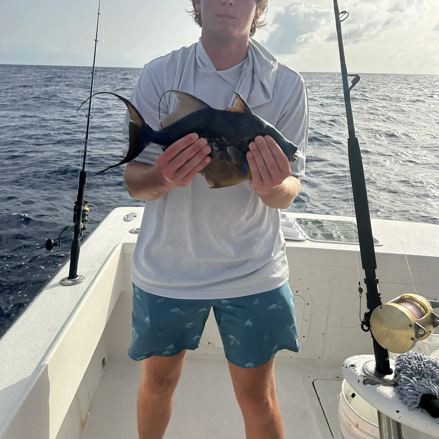
Barracouta Banks fishing reports

More catches in the app...
Continue browsing catches and catch locations in the Fishbrain app

Download Fishbrain and fish smarter
Unlimited access to the best fishing spot finder in the game. Get all the fishing intel you need to start catching more, and bigger, fish.
Free trial available