- United States/
- Missouri

Fishing in Missouri
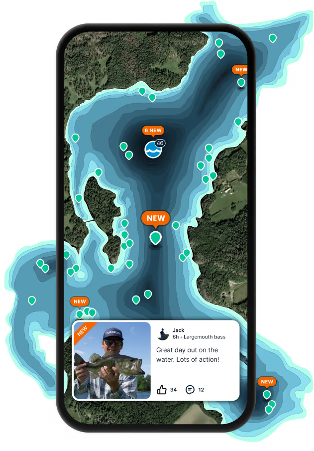
Find fishing spots near you with Fishbrain's interactive crowd-sourced map
Top fishing waters in Missouri

Want trophy-size catches? These Missouri spots deliver


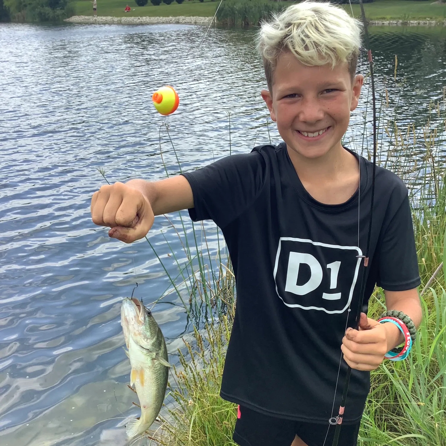
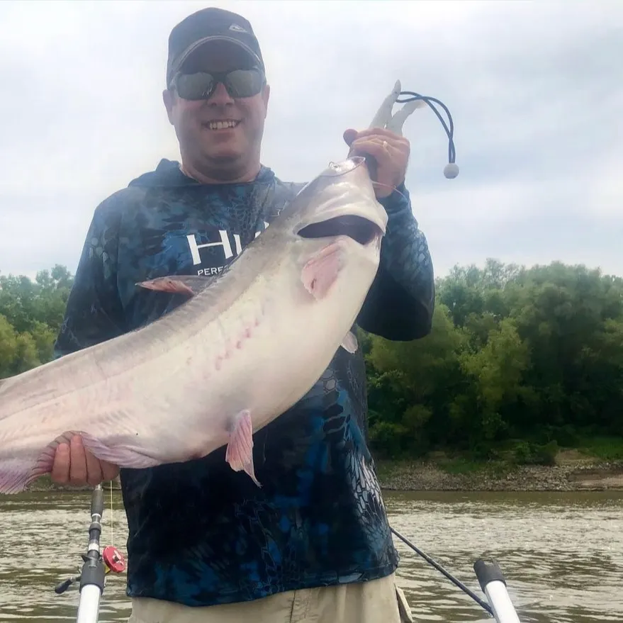
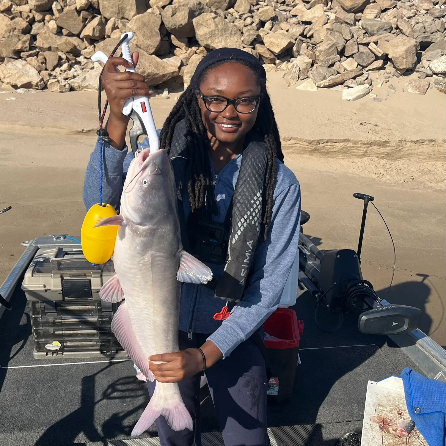
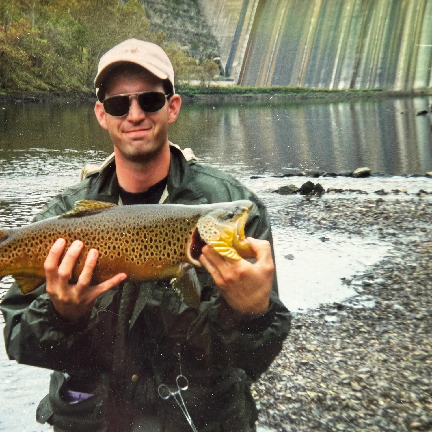
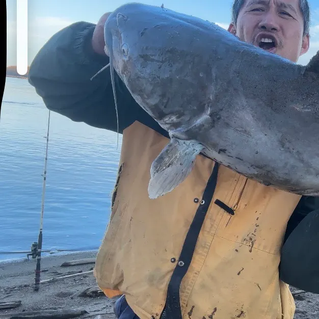
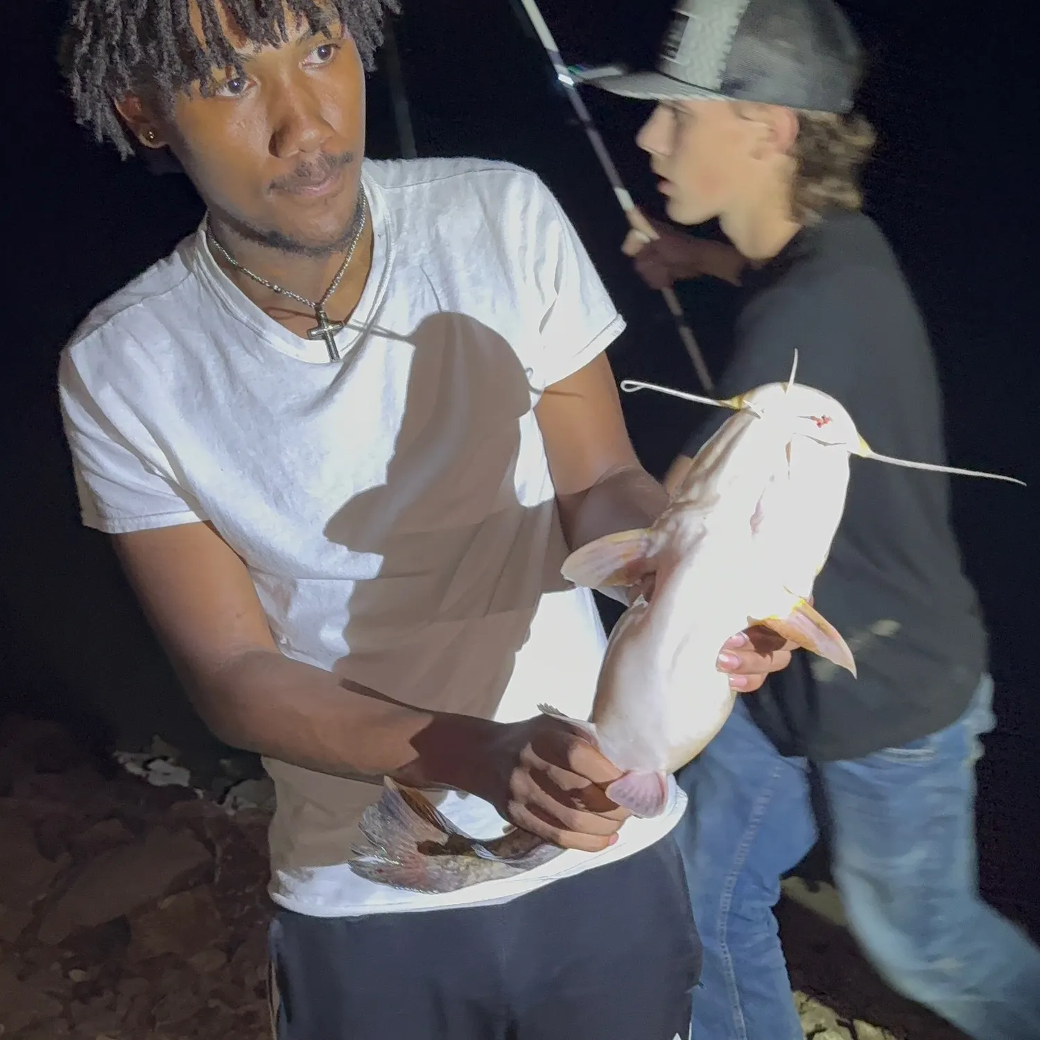
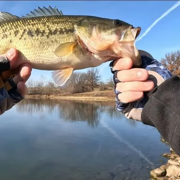
Biggest catches in Missouri
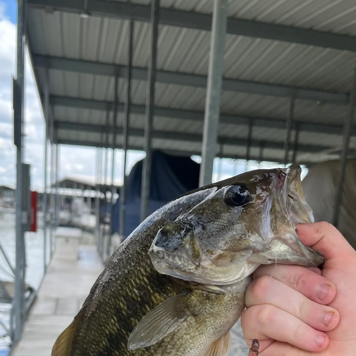
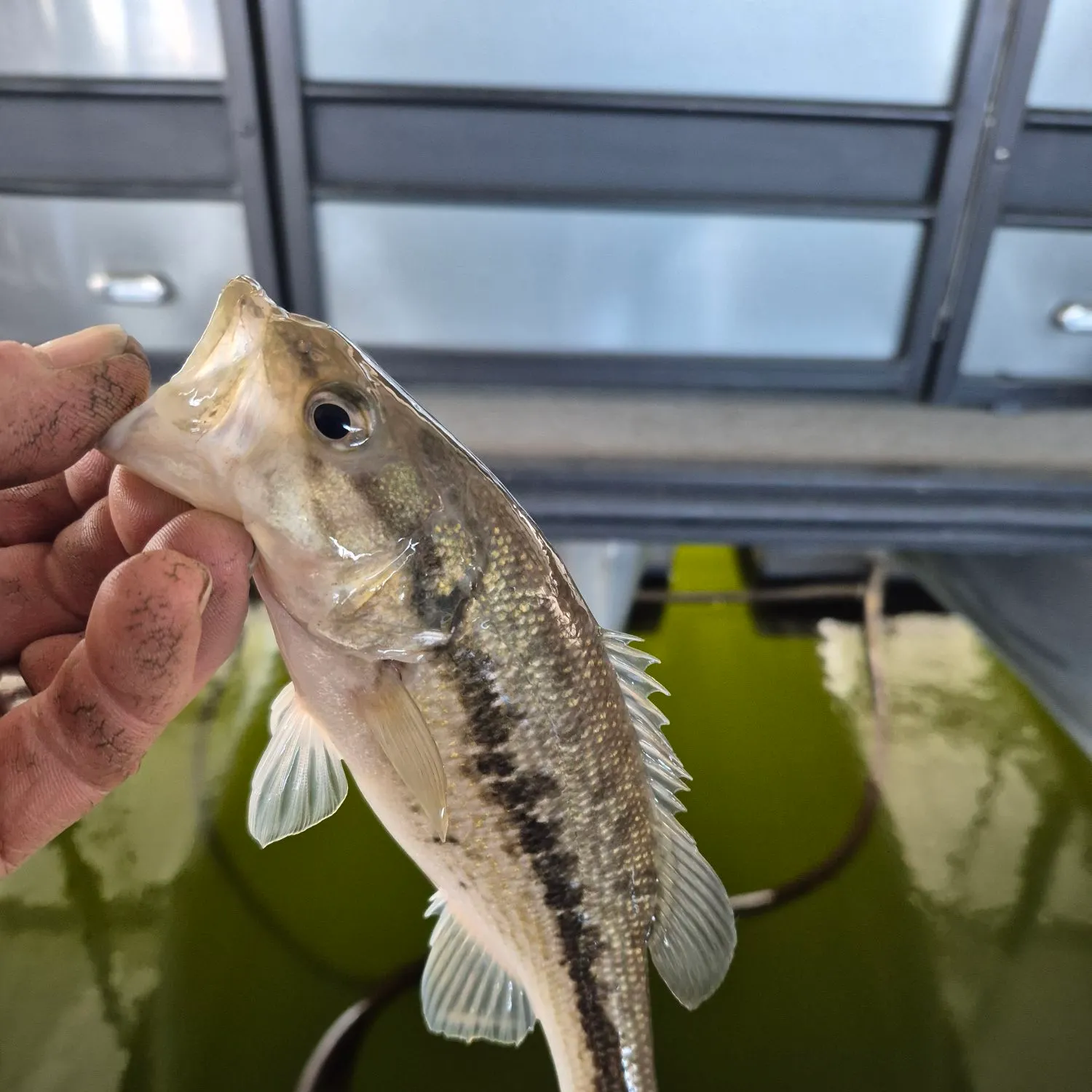
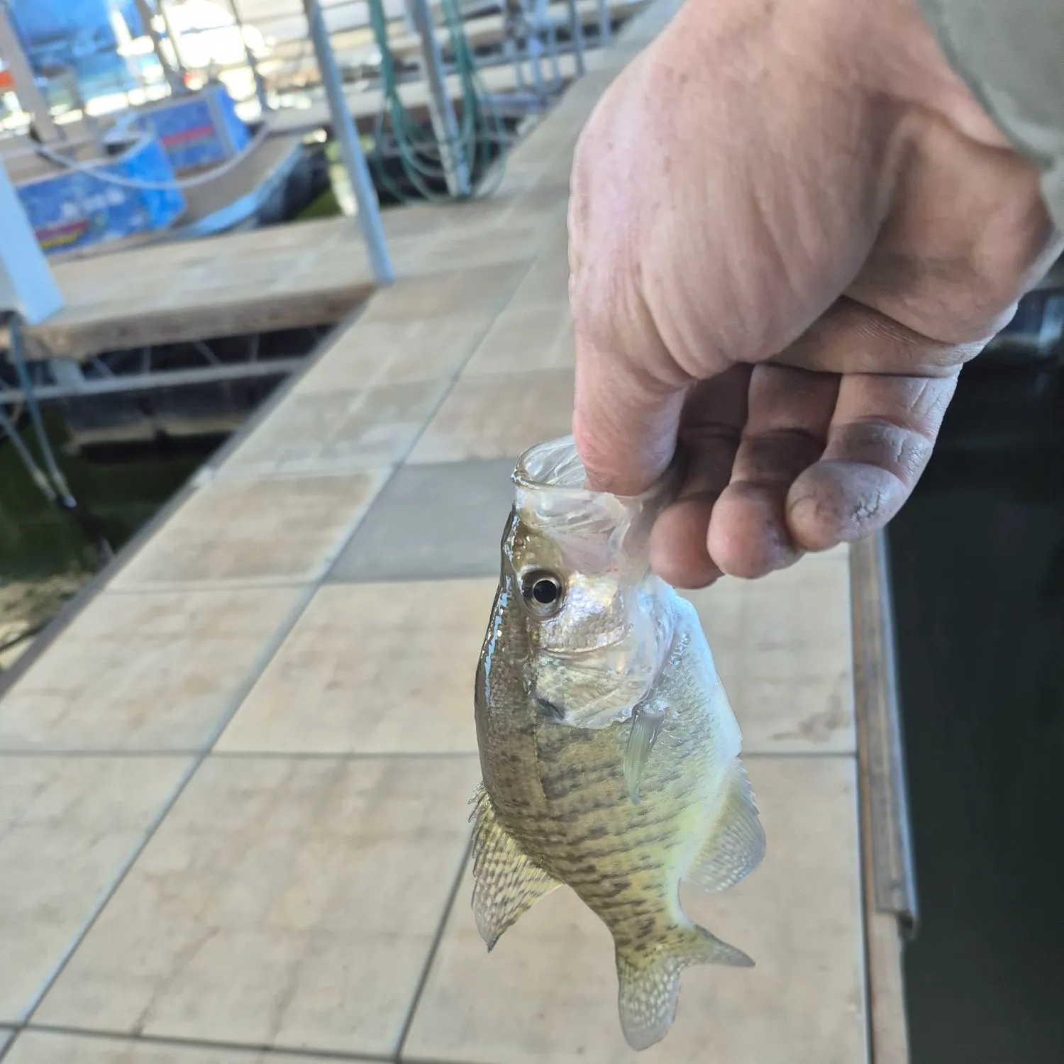
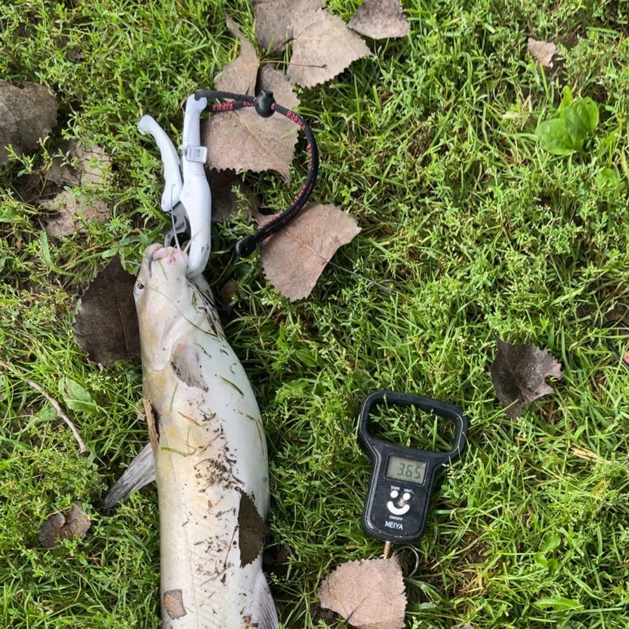
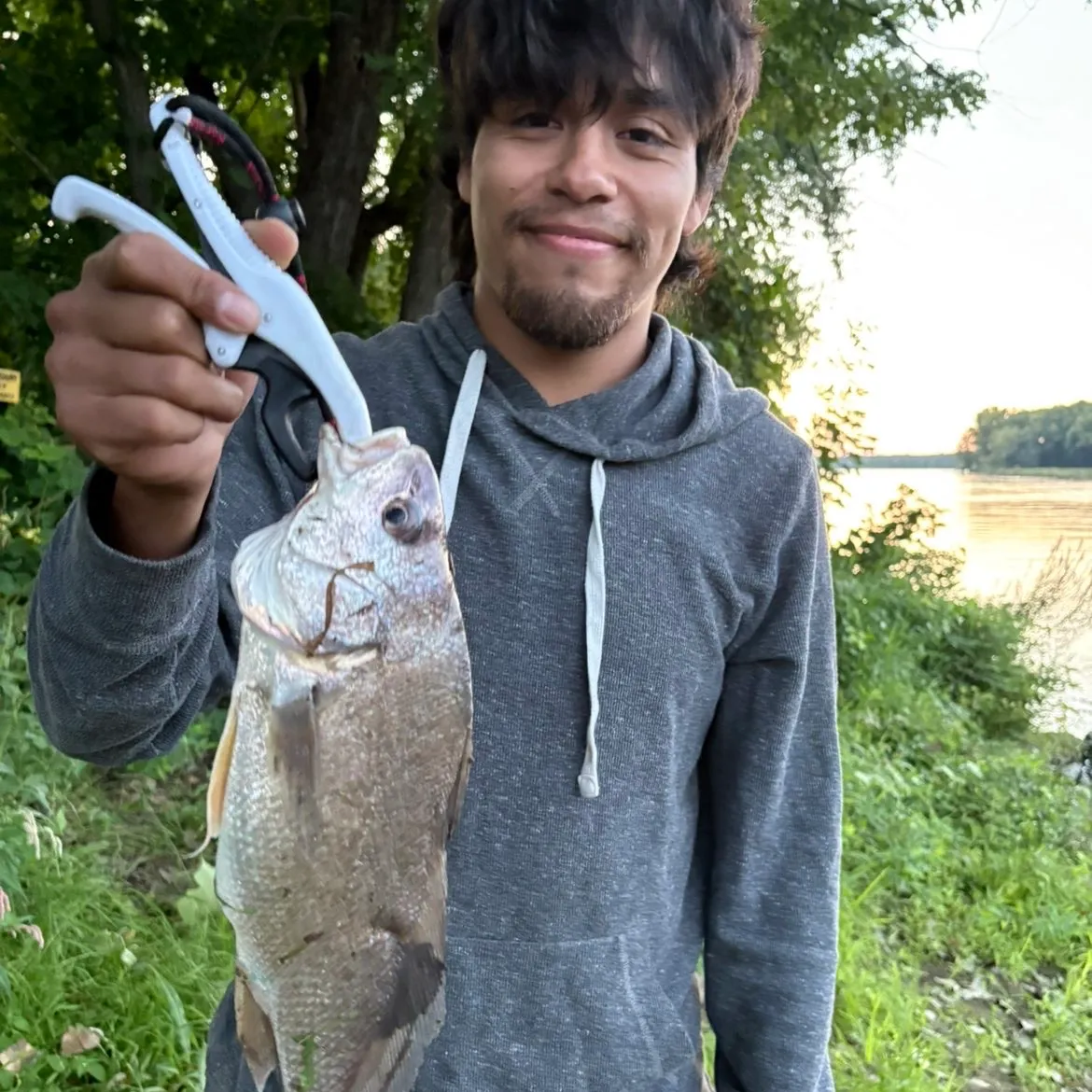
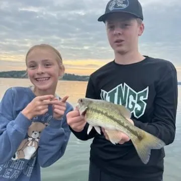
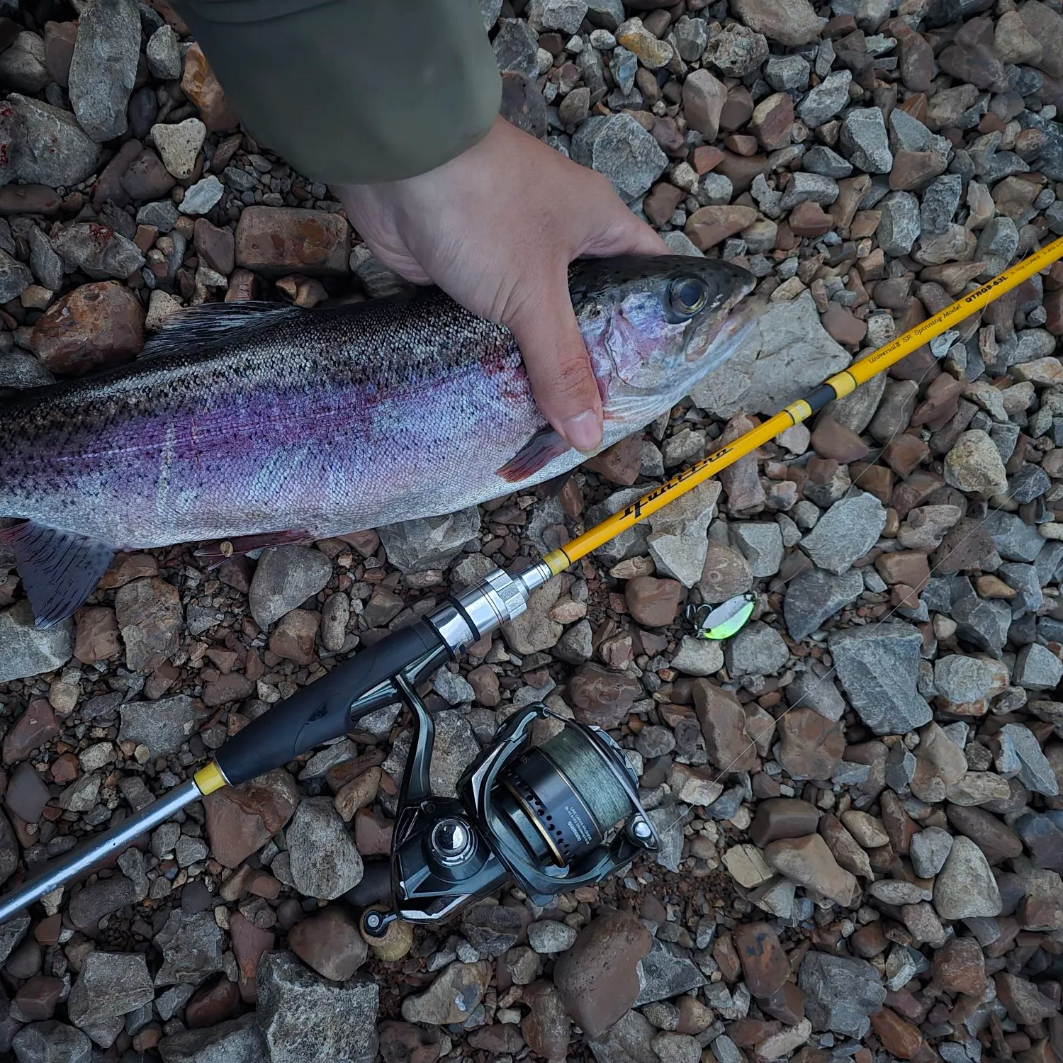
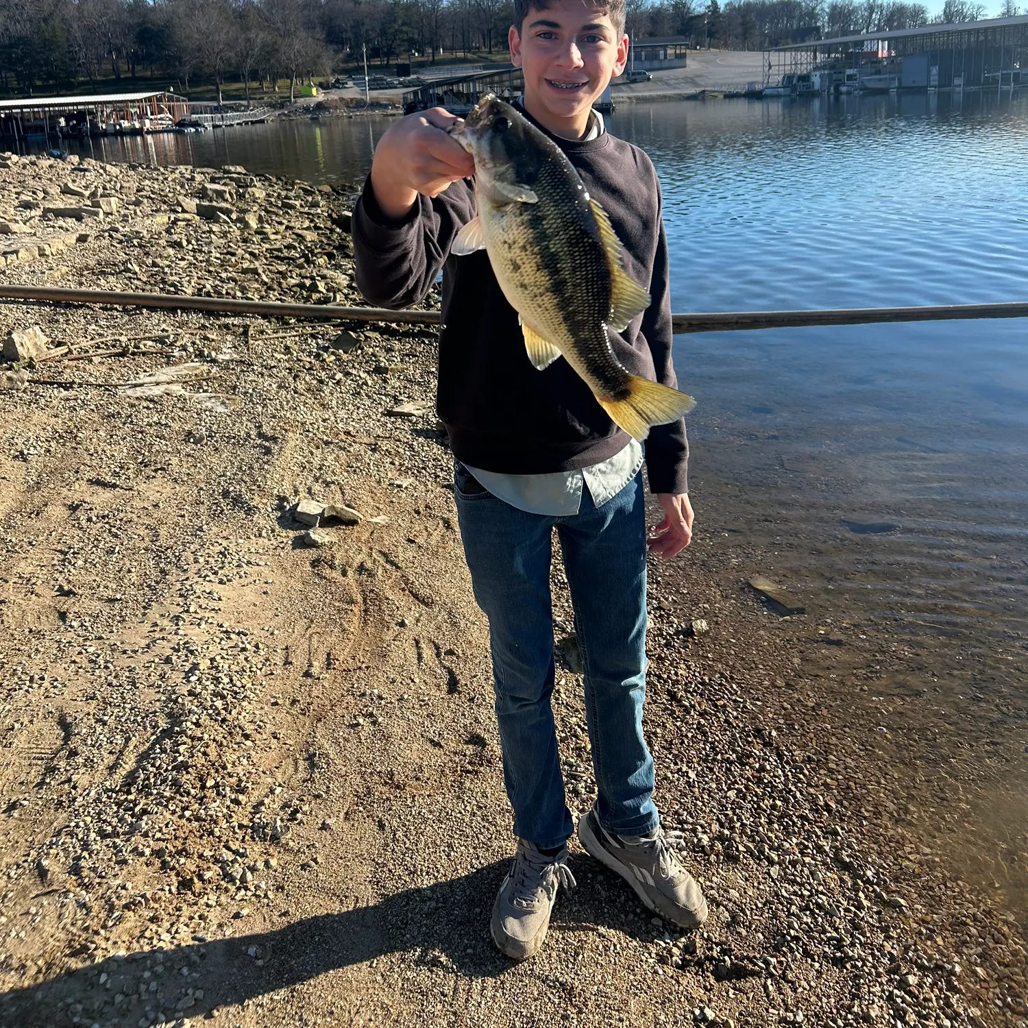
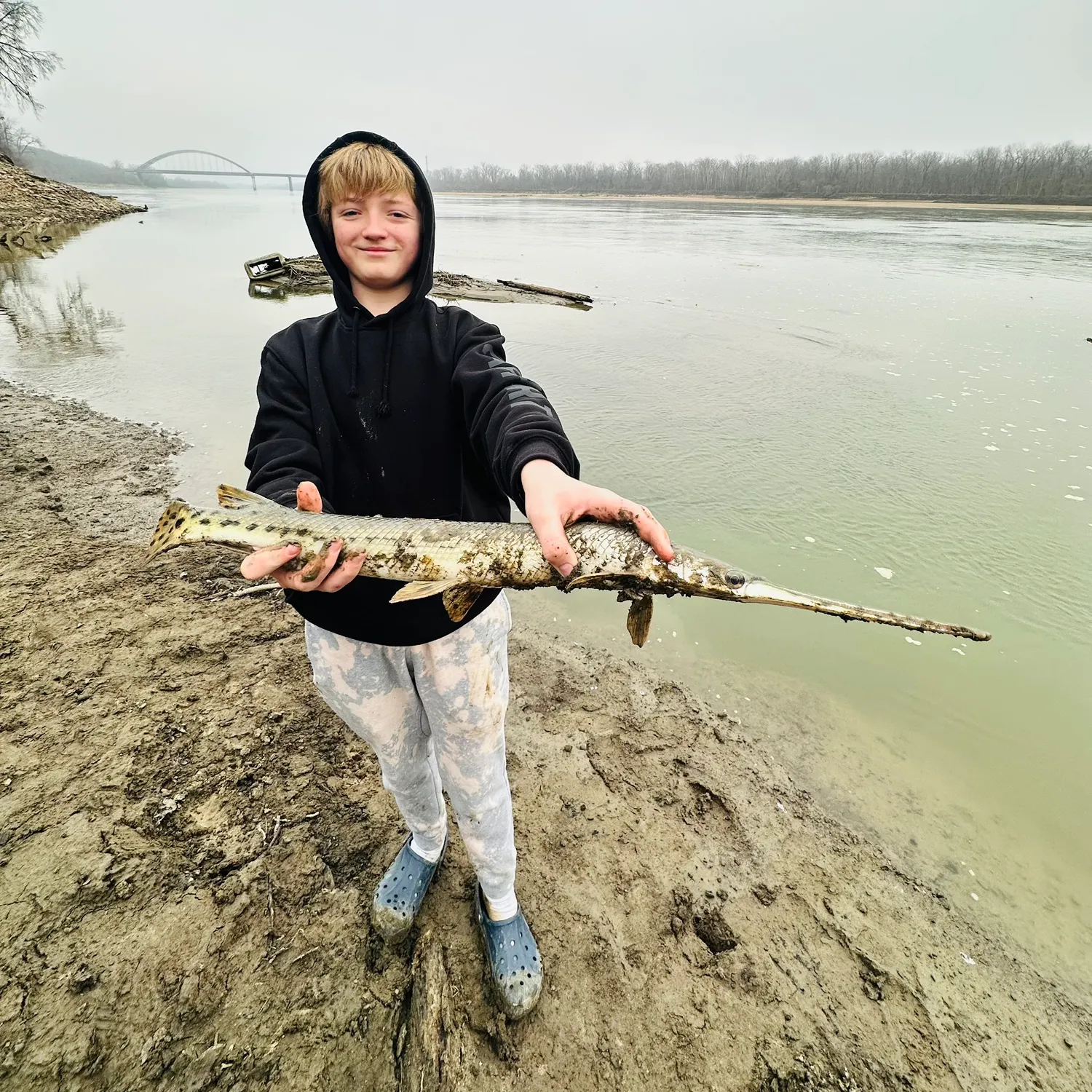
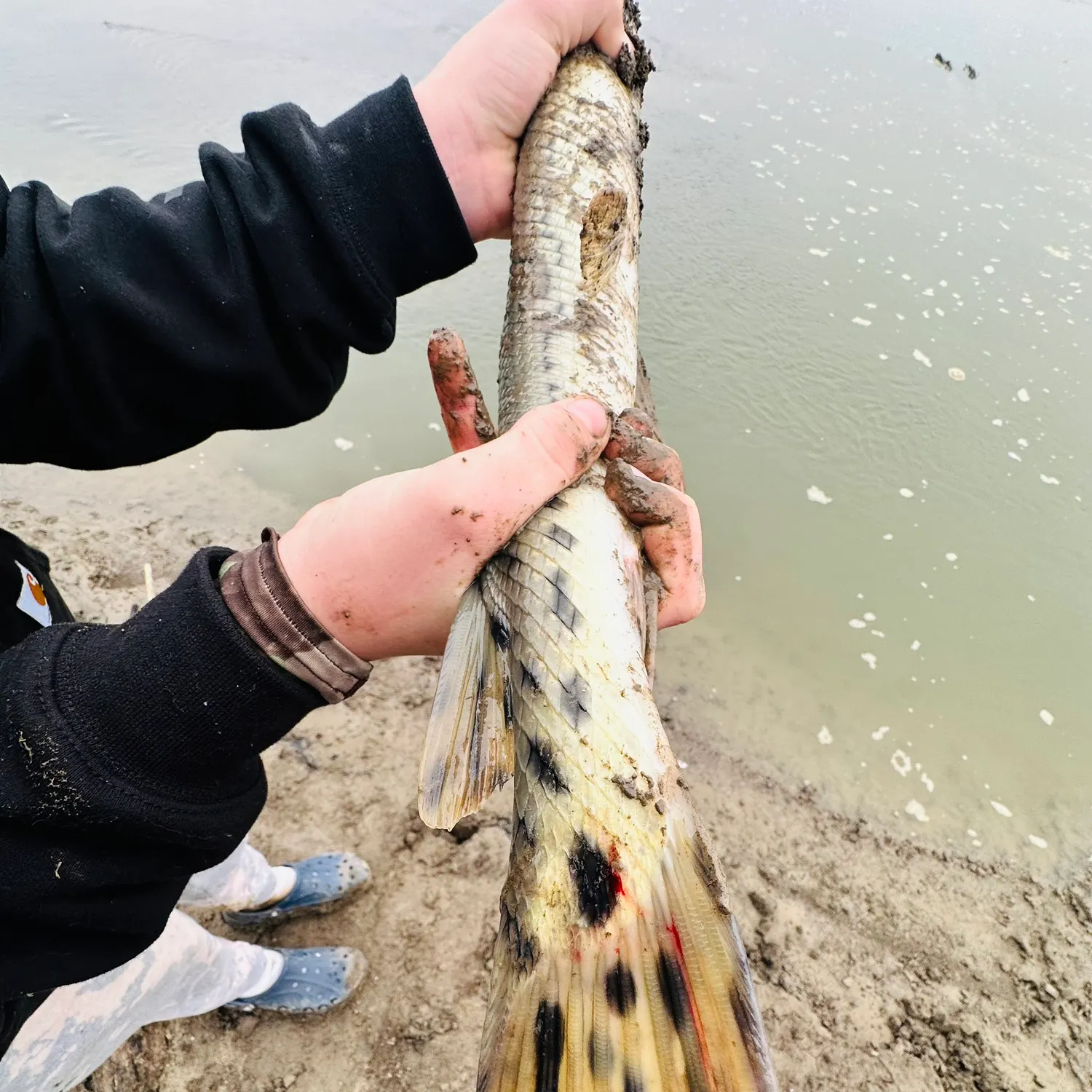
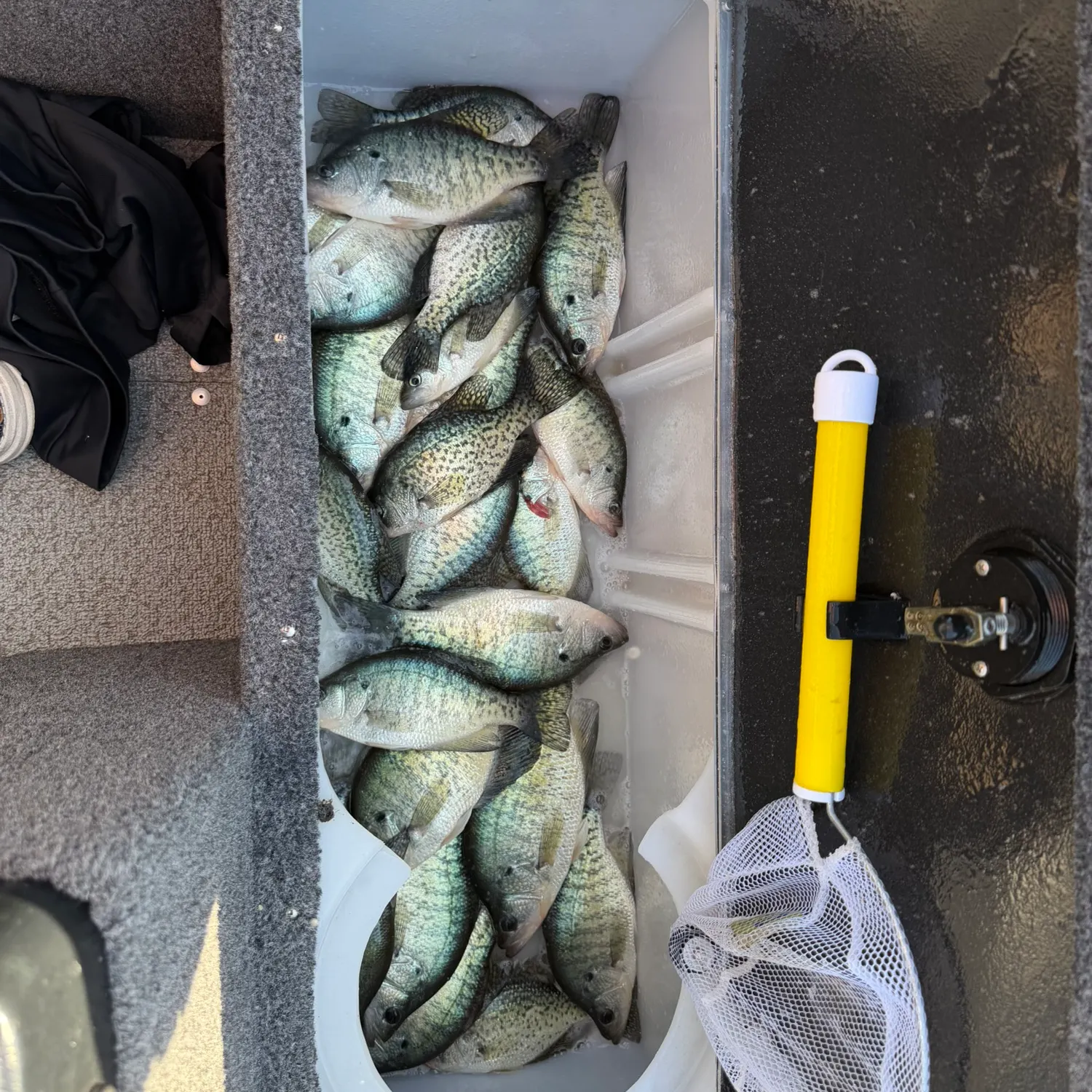
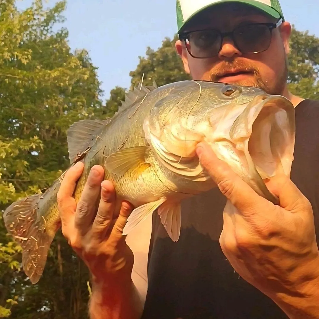
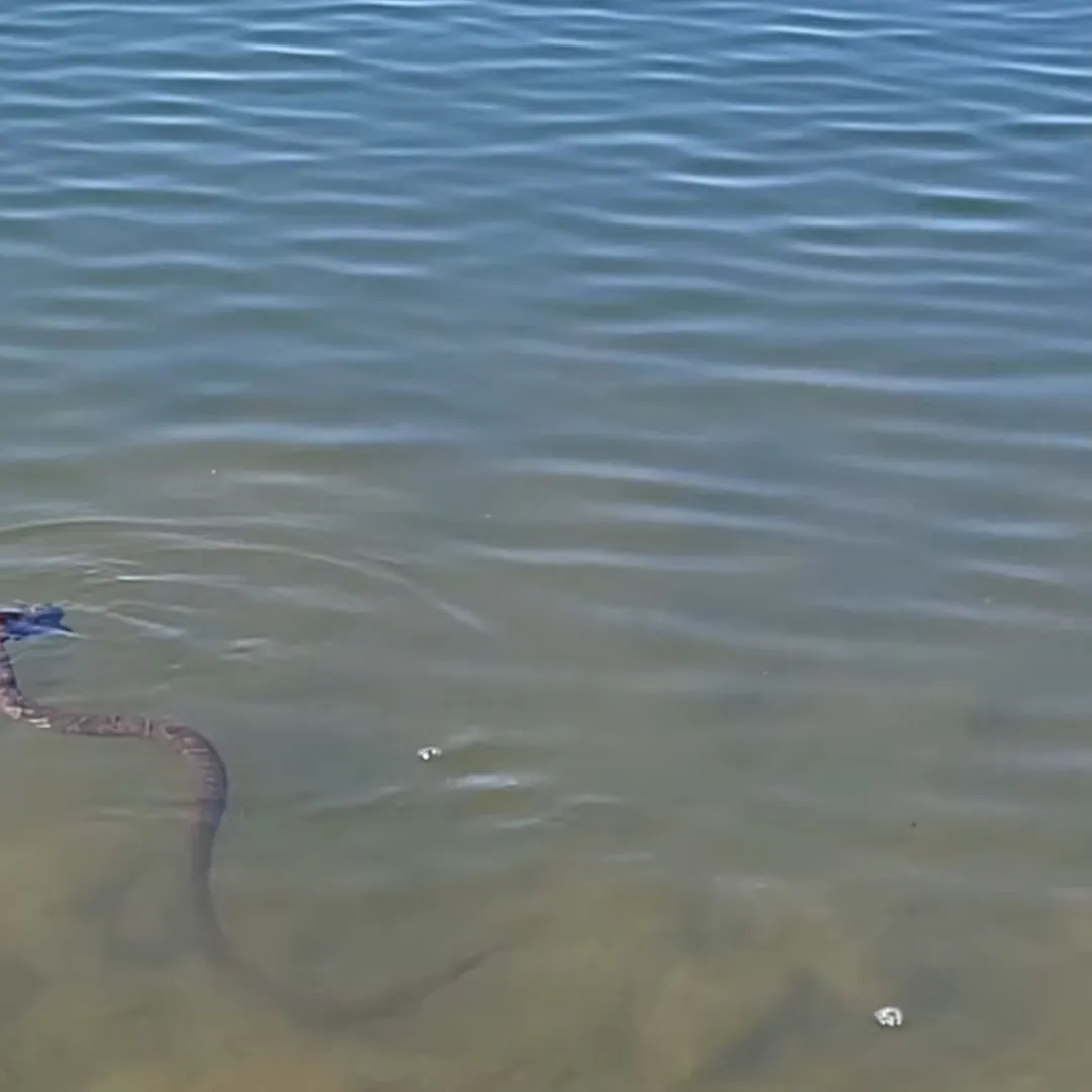
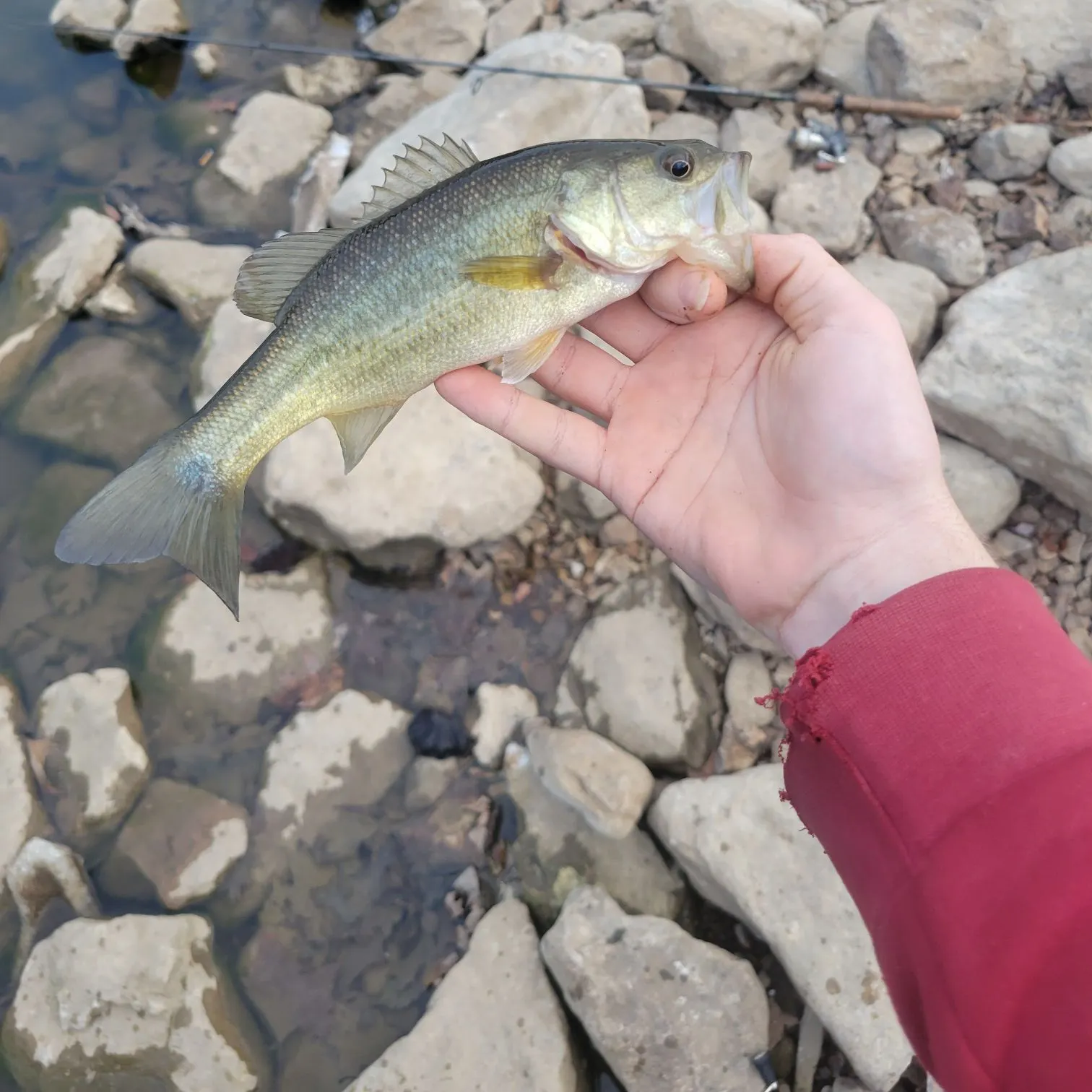
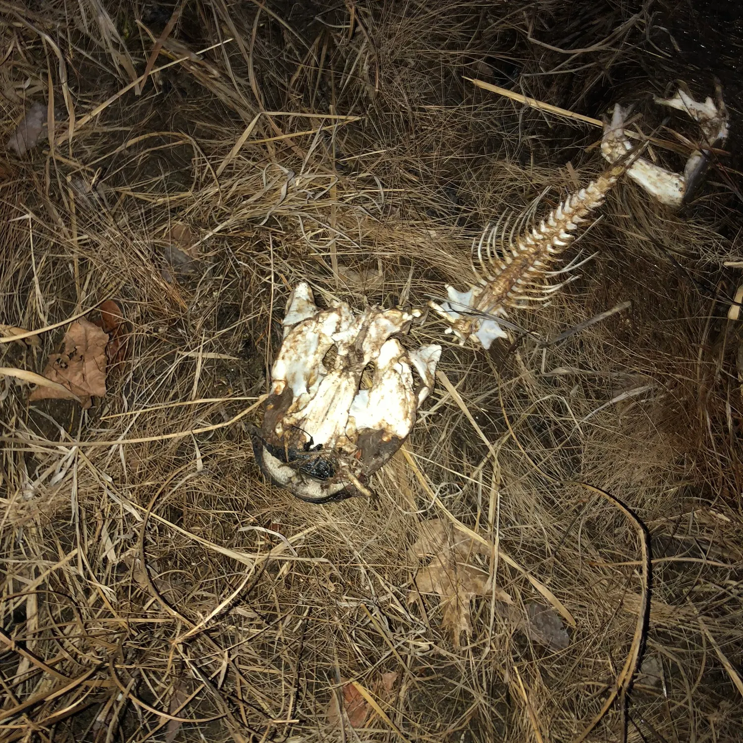
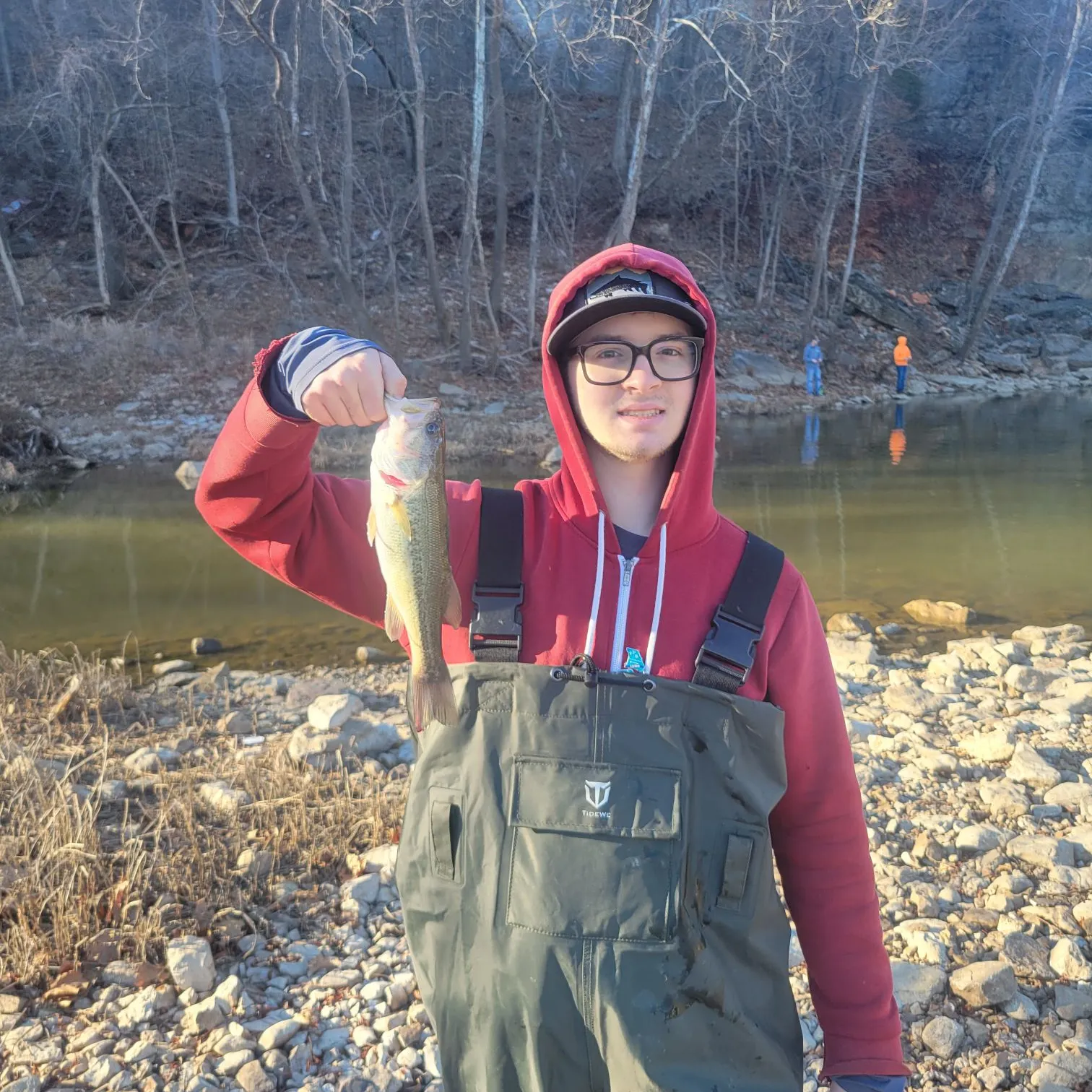
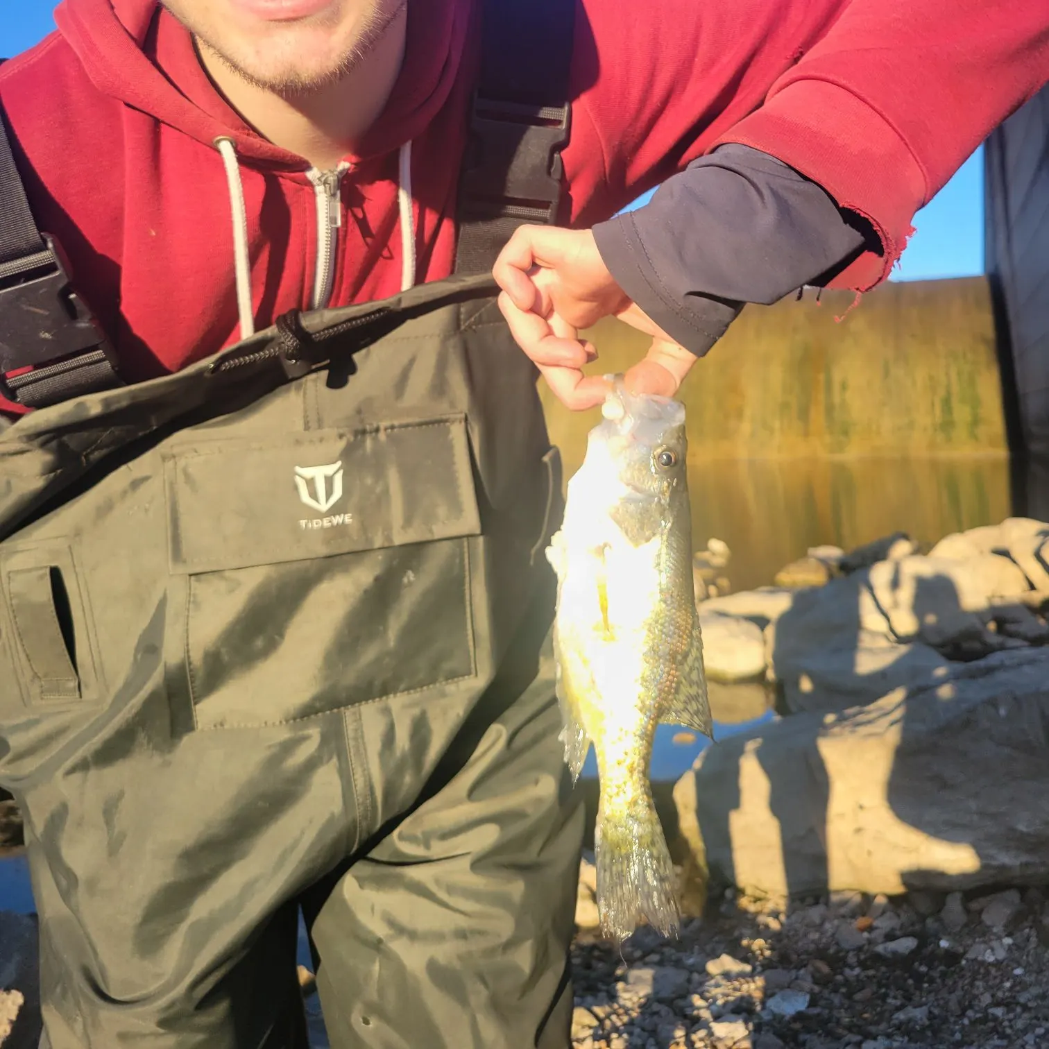
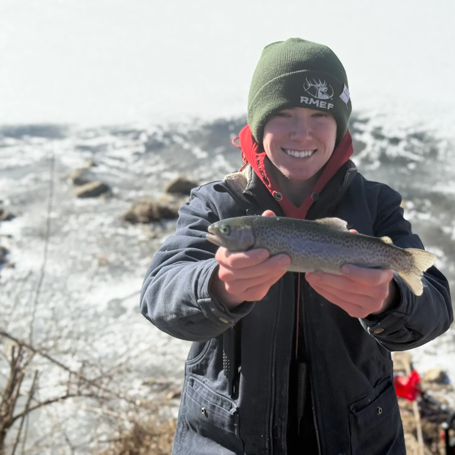
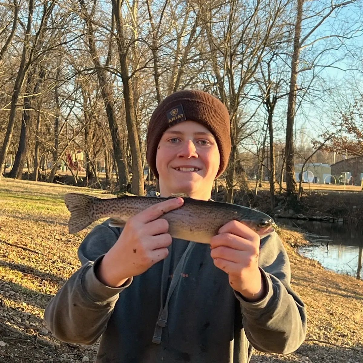
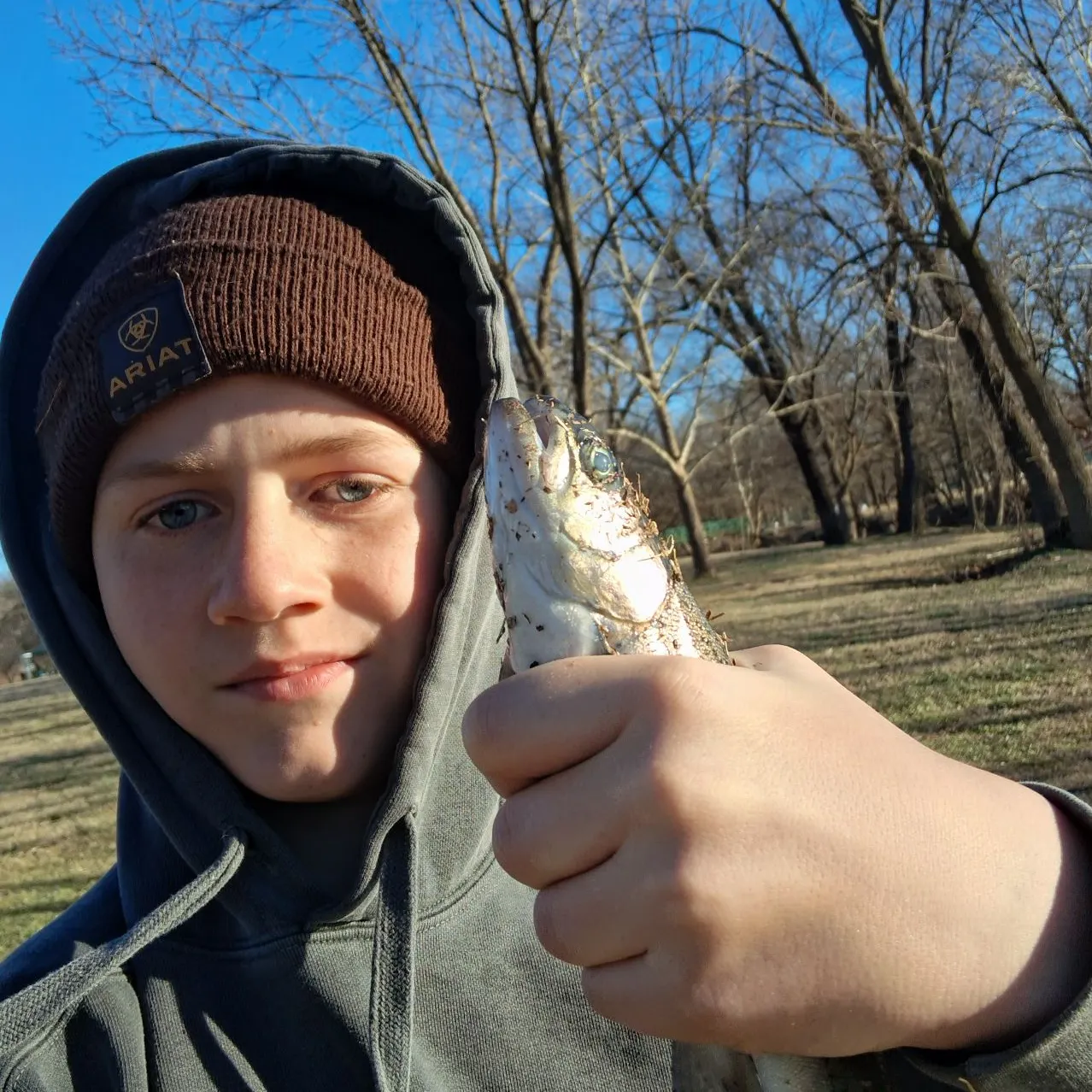
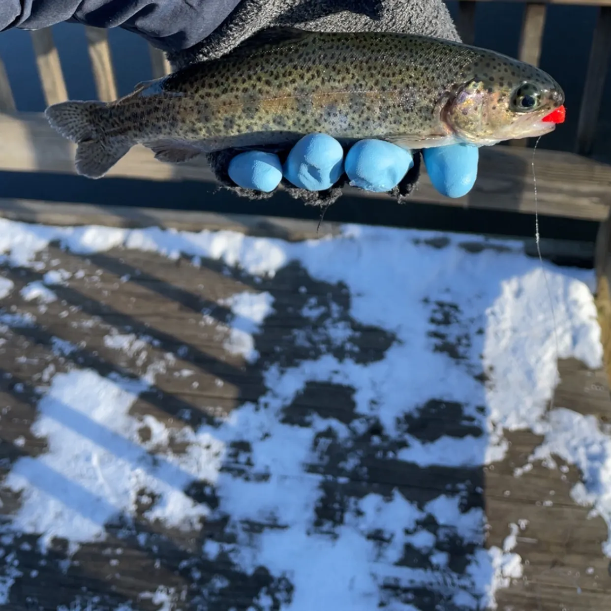
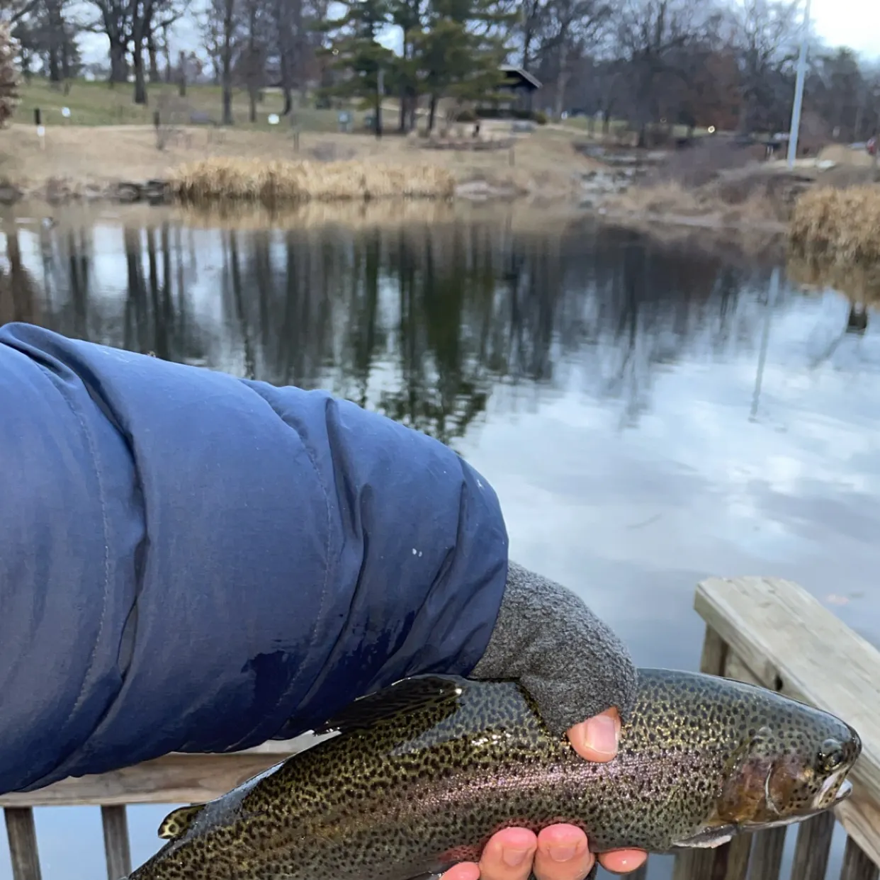
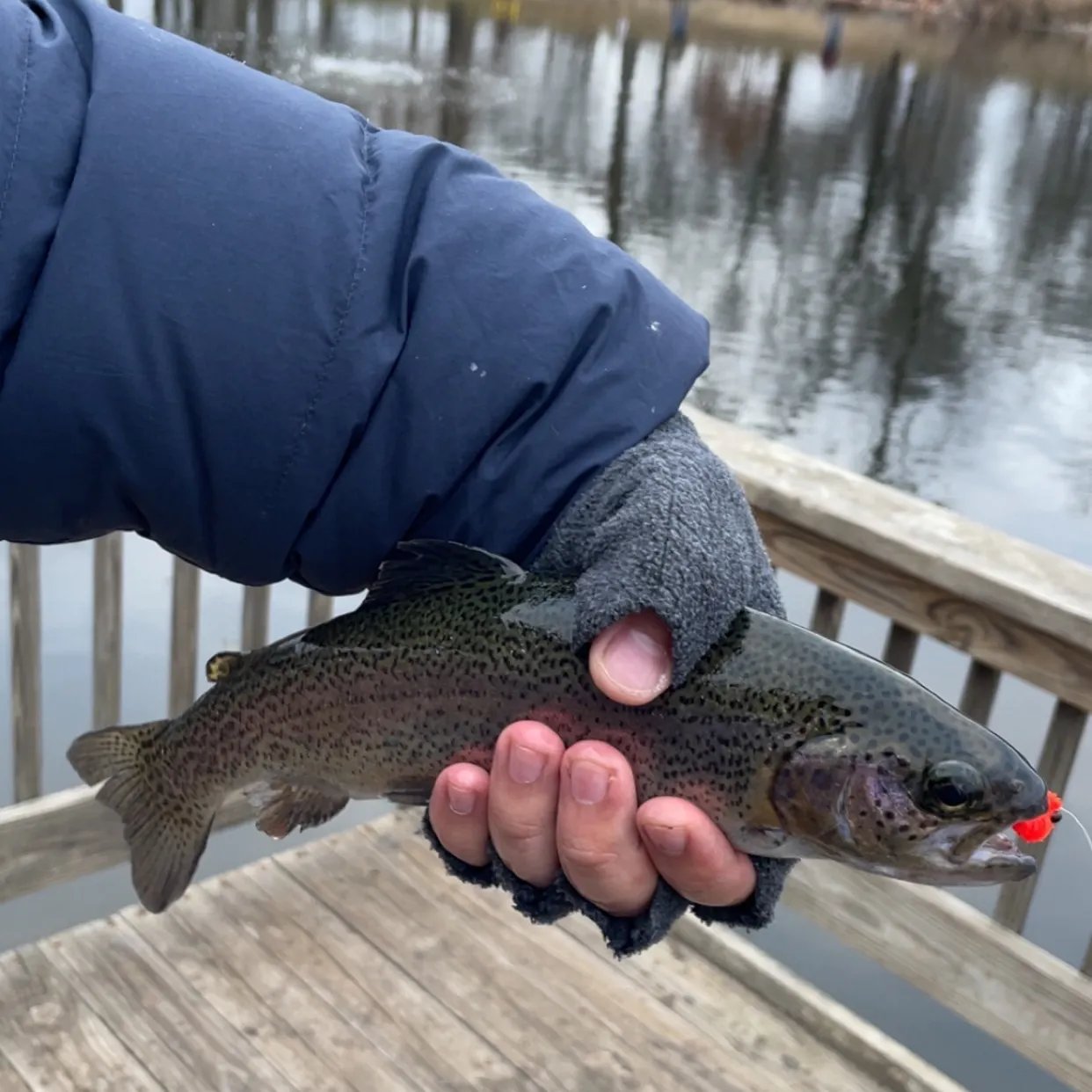
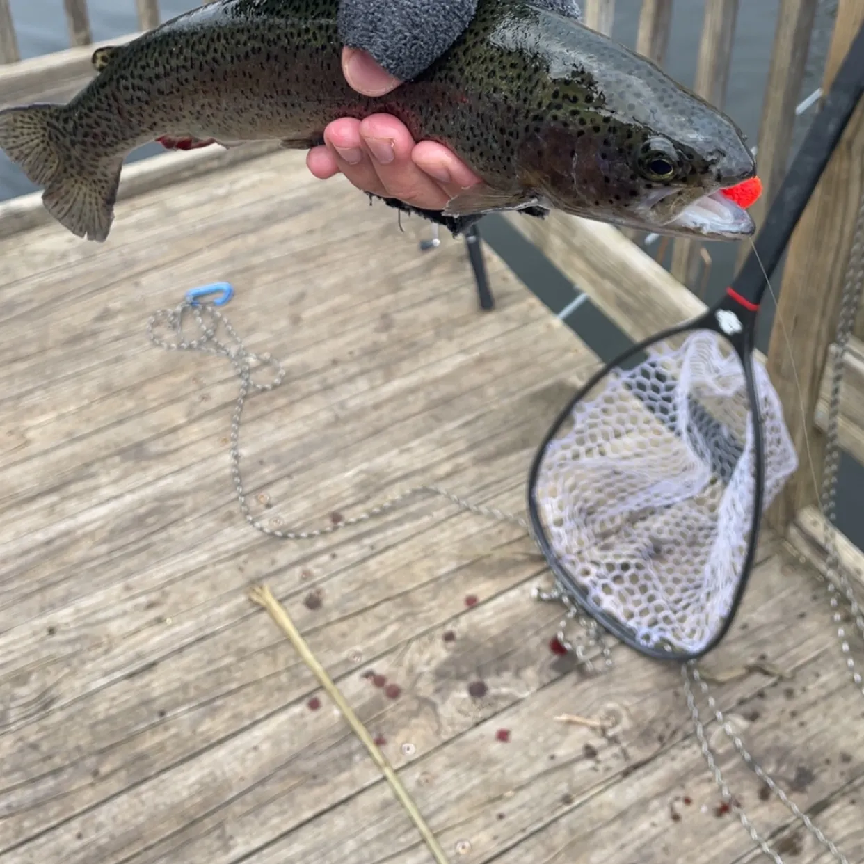
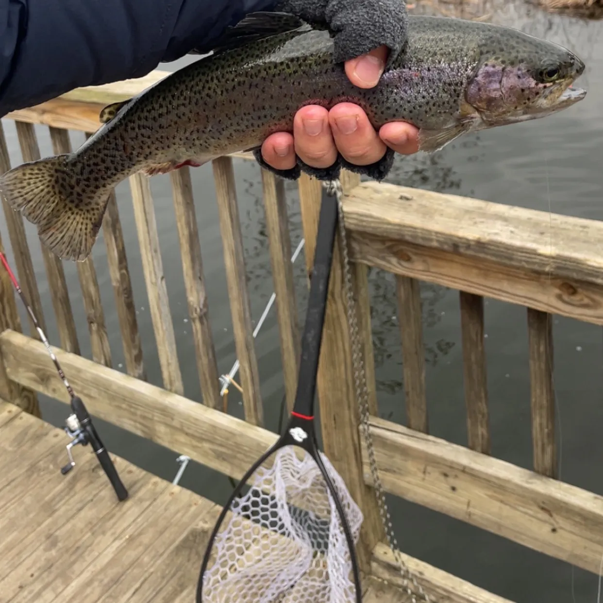
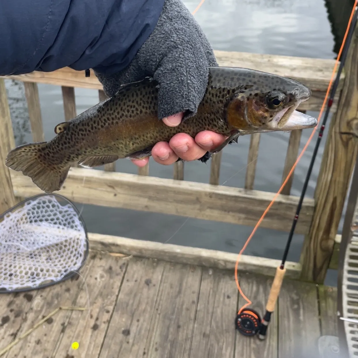
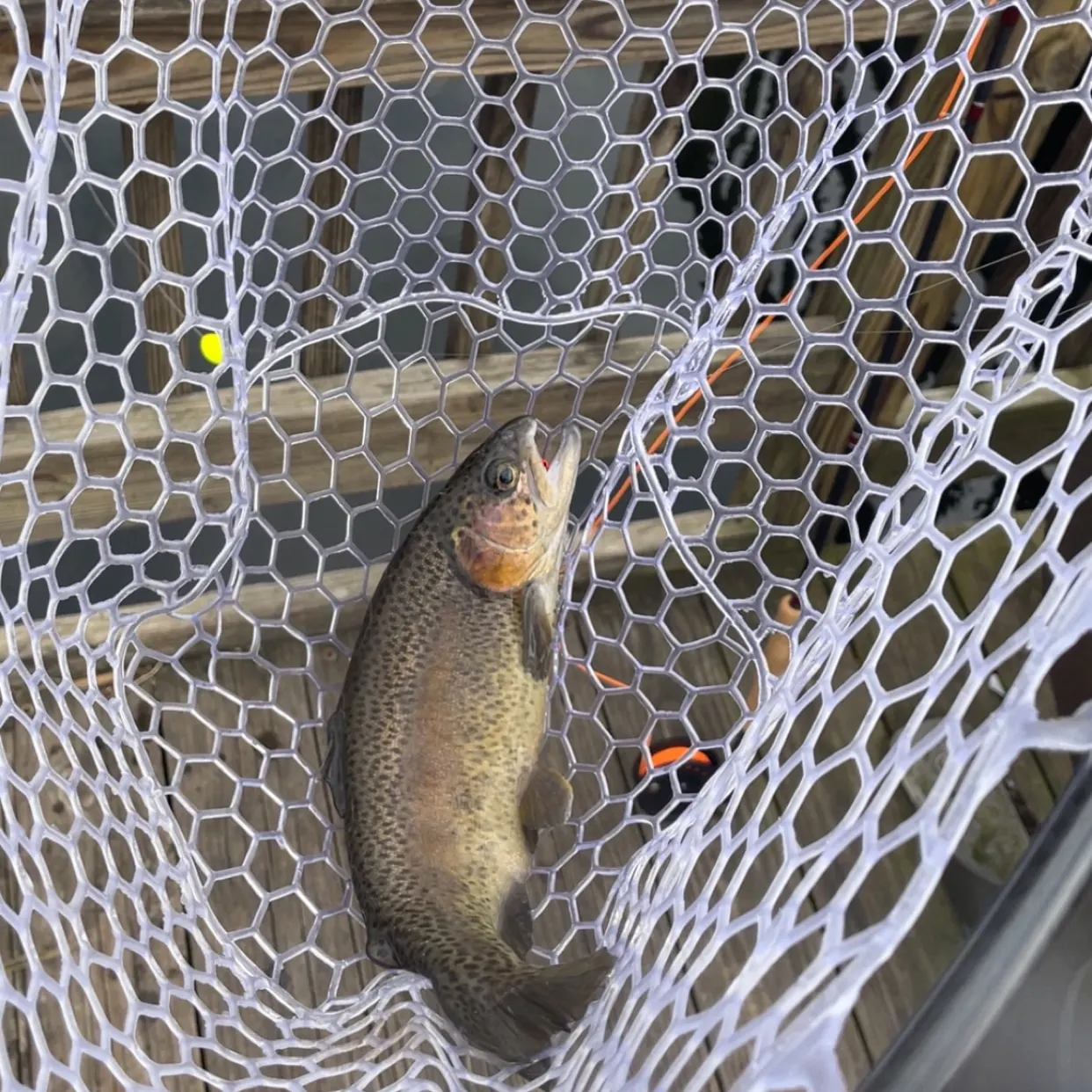
Latest Missouri fishing reports

Continue browsing catches and catch locations in the Fishbrain app
Fishing regulations in Missouri
Disclaimer: Always check local fishing regulations, water access rights and land ownership before fishing, regardless of any catches logged in that area by the Fishbrain community. Fishbrain has mapped millions of acres of government-owned land across the USA to help you identify potential fishing access, but you are responsible for ensuring compliance with all legal requirements.
Fishing regulations in Missouri can change throughout the year. Make sure to check this page before fishing for the most up to date rules and regulations for the current season. Local regulations govern when you can fish, the max size of the fish you can keep, how many fish you can keep, and more.
Below you will see fishing regulations for catching as of . To view regulations for a different fish species, please click on your preferred species in the drop-down.
/-92.189283,38.572954,10,0.00,0.00/600x250?access_token=pk.eyJ1IjoiZmlzaGJyYWluLWRldiIsImEiOiJjbDl6ZDU2amEwZXFtM29rNmI5cTV5ZGZ3In0.PEsOW8Rbc7G-mIBHpNXeGQ&logo=false&attribution=false)
Free trial available