- United States/
- Arizona

Fishing in Arizona
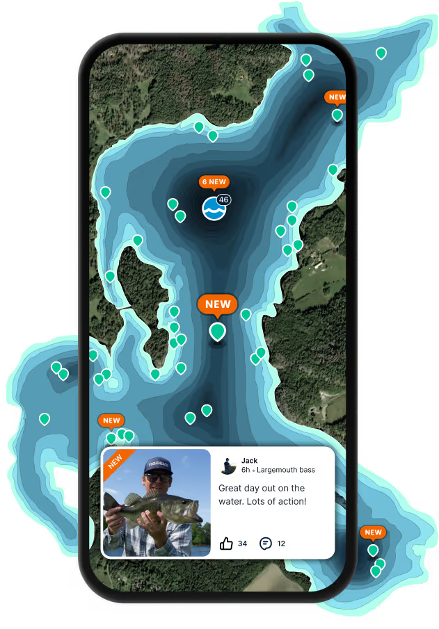
Find fishing spots near you with Fishbrain's interactive crowd-sourced map
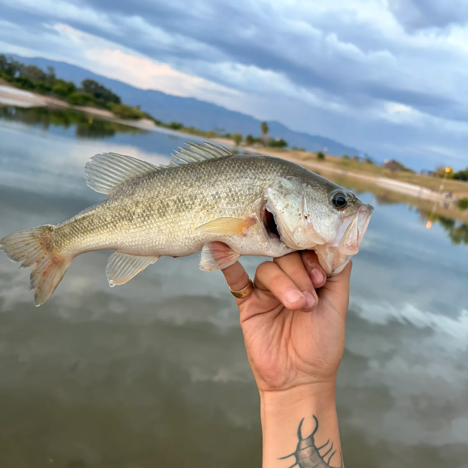
Top fishing waters in Arizona

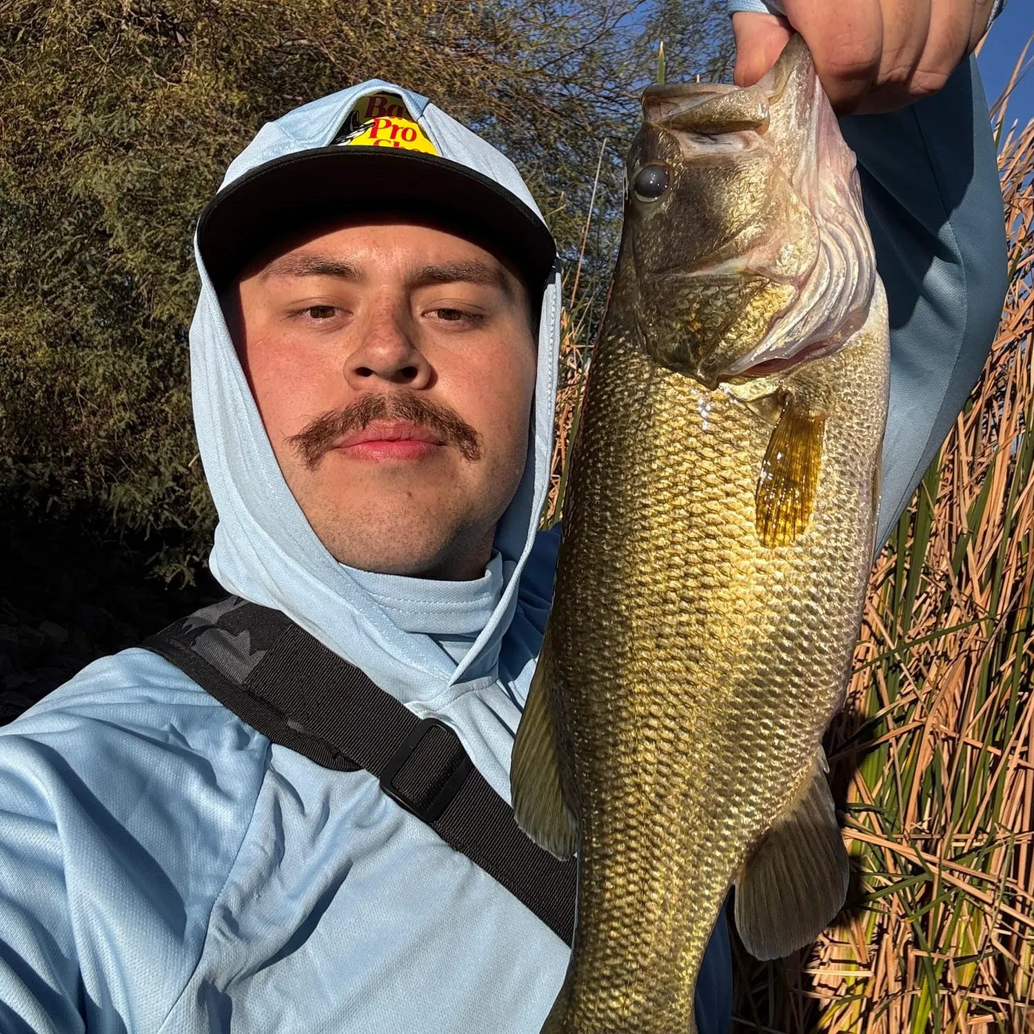

Want trophy-size catches? These Arizona spots deliver


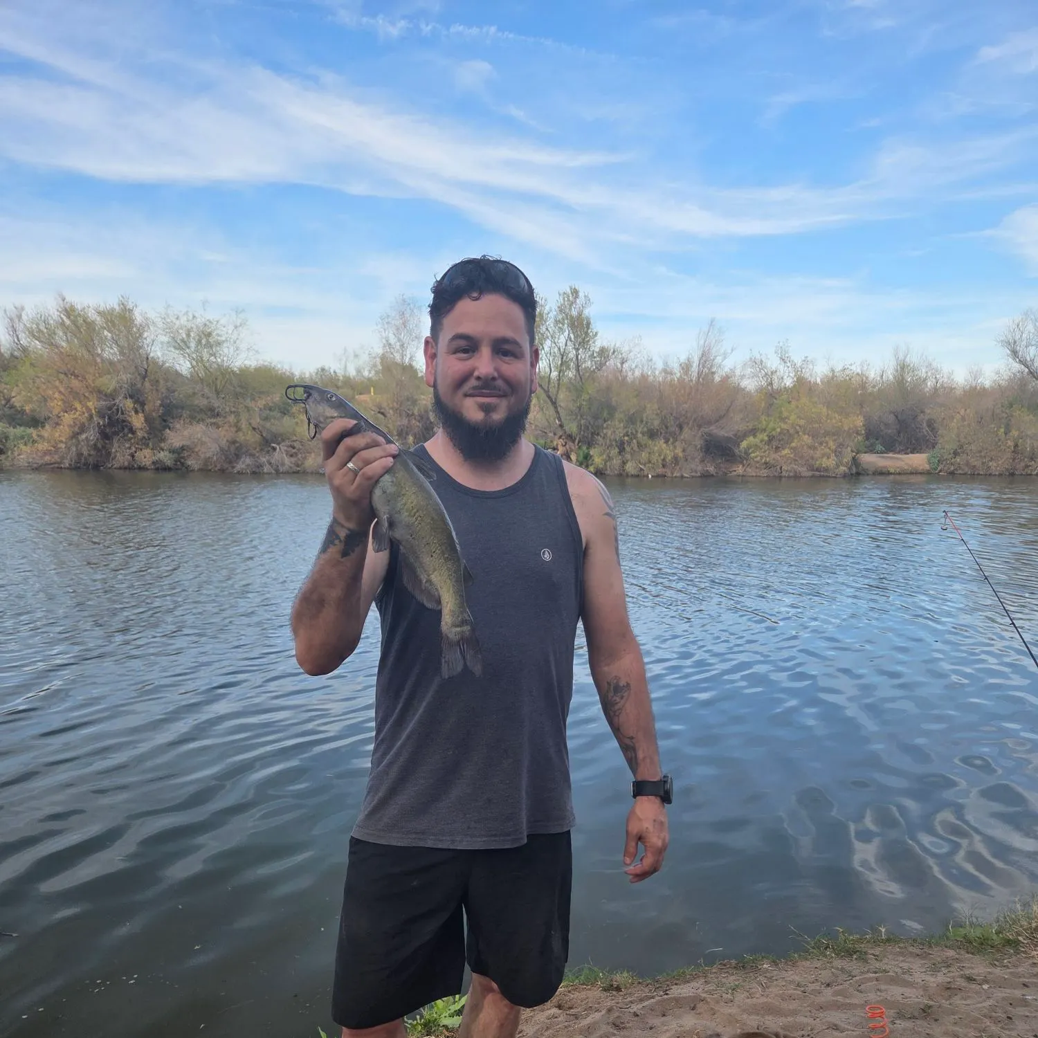
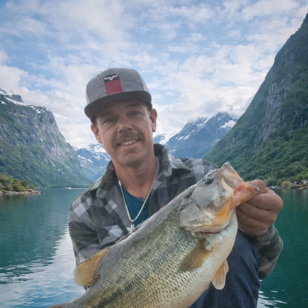
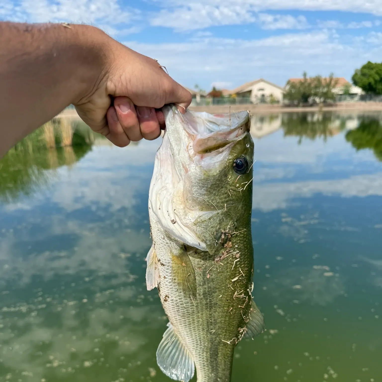
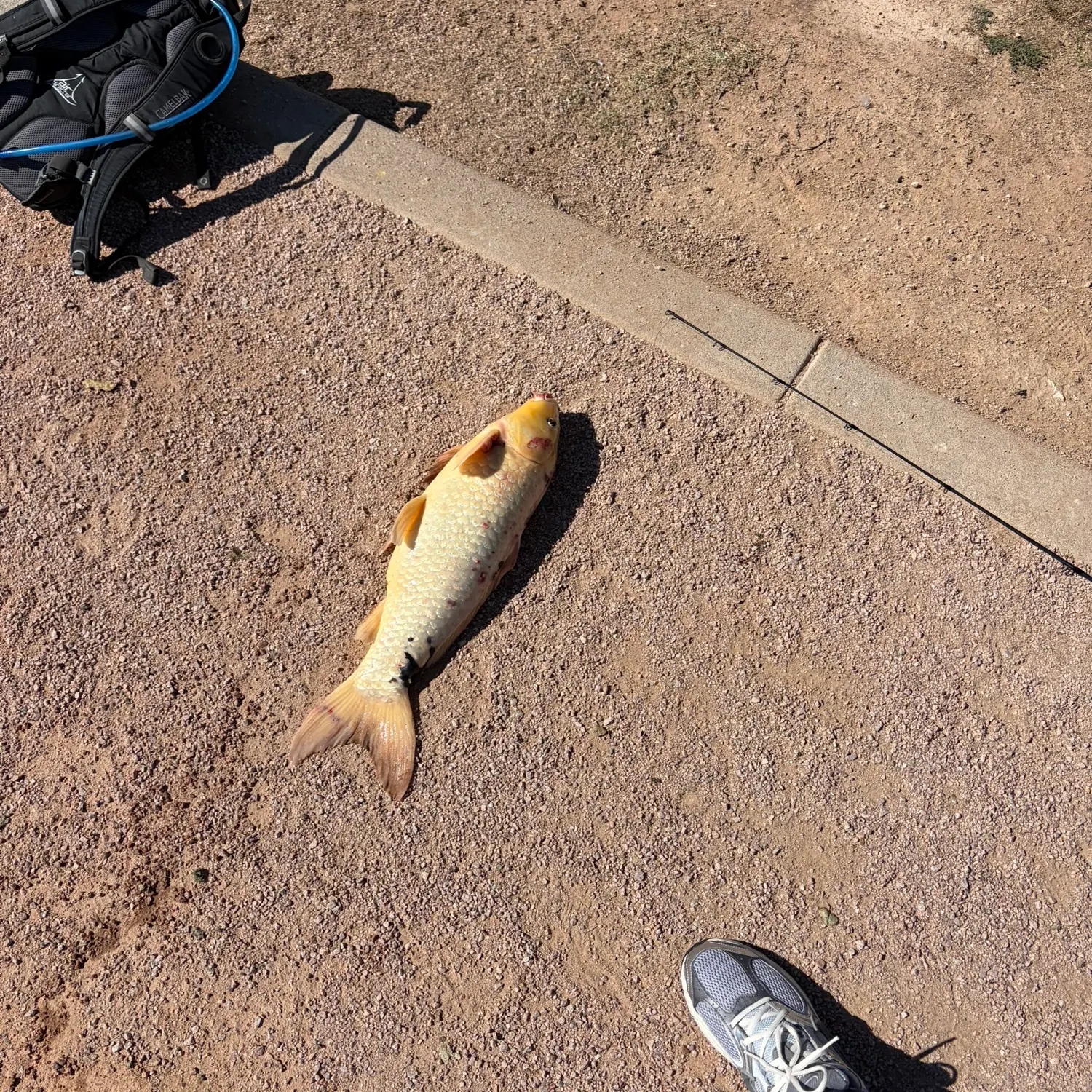
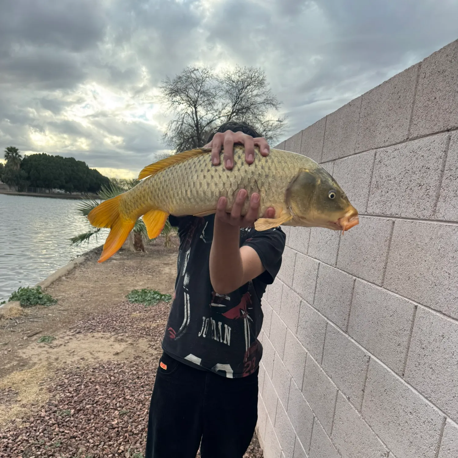
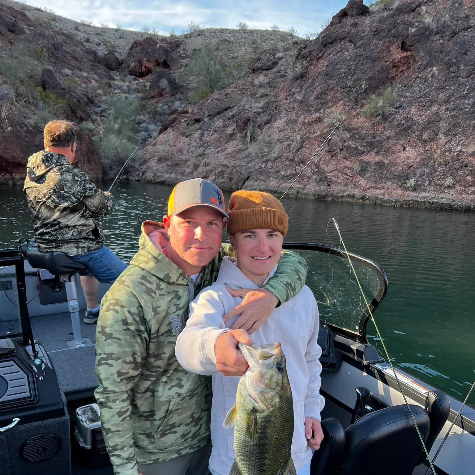
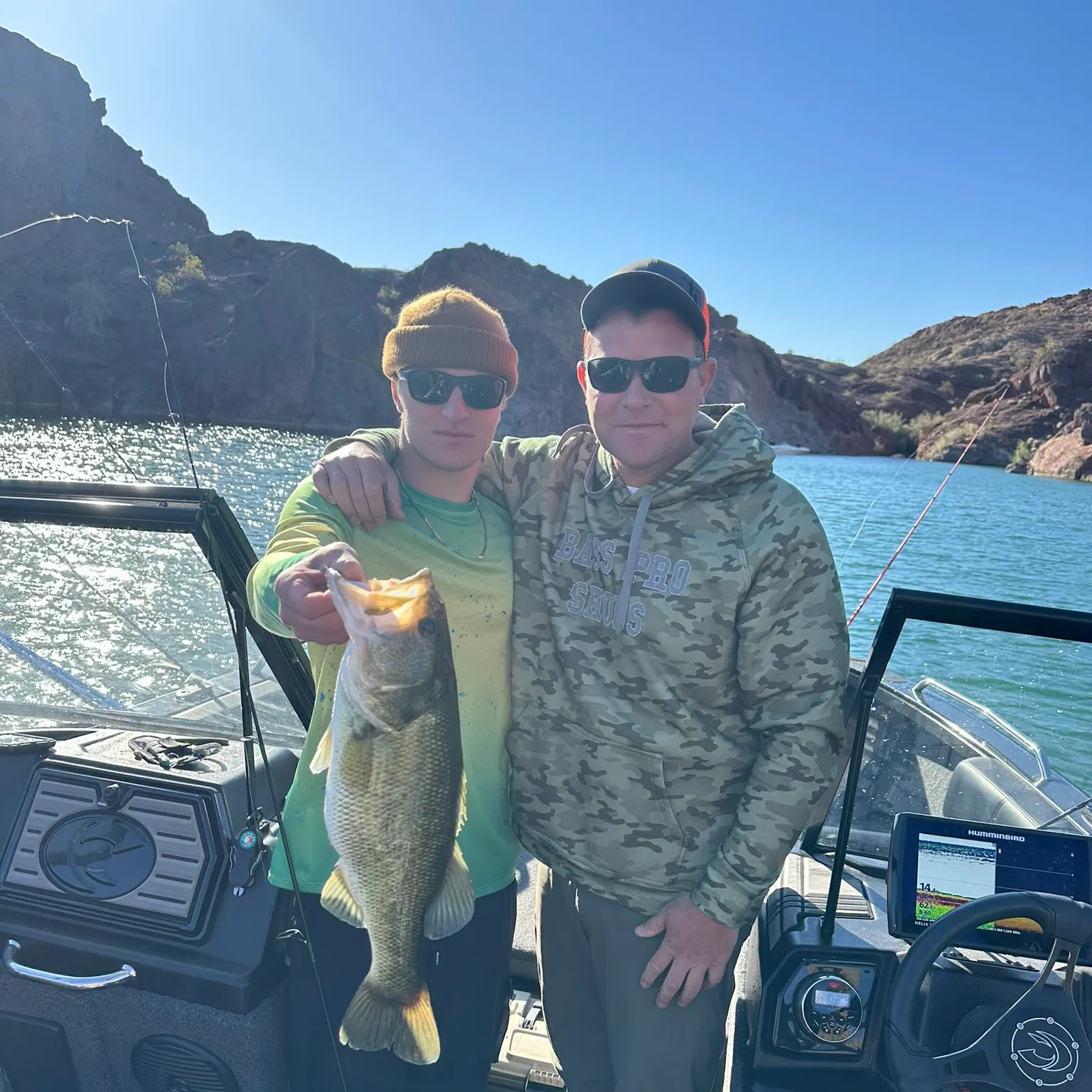
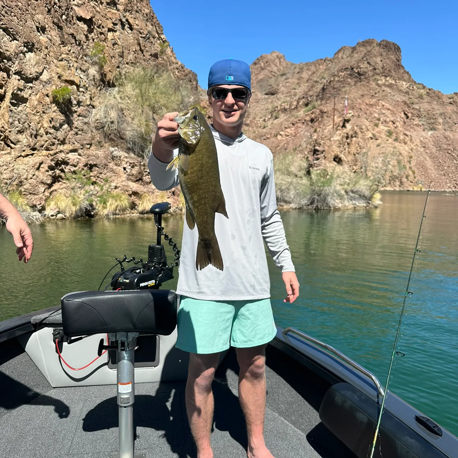
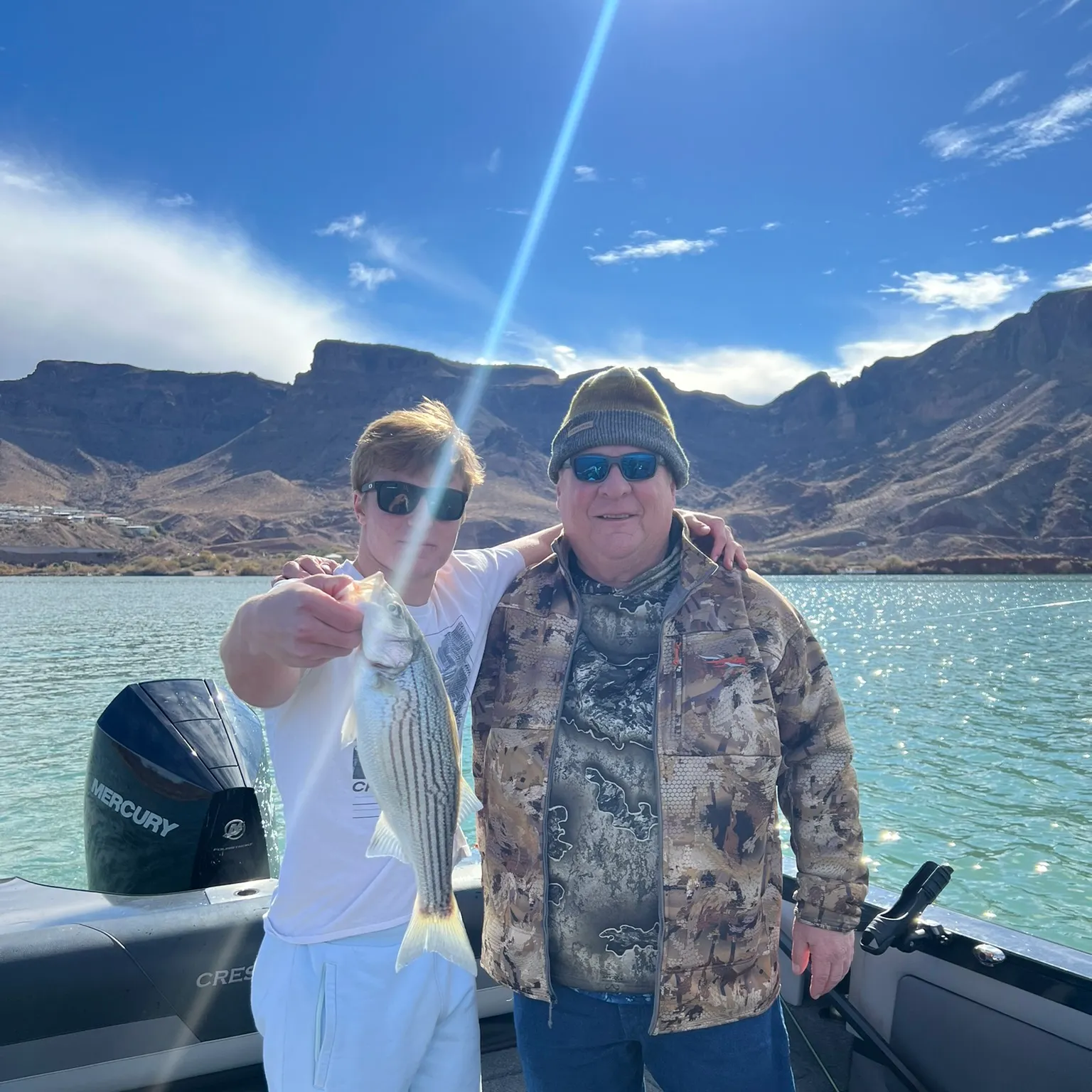
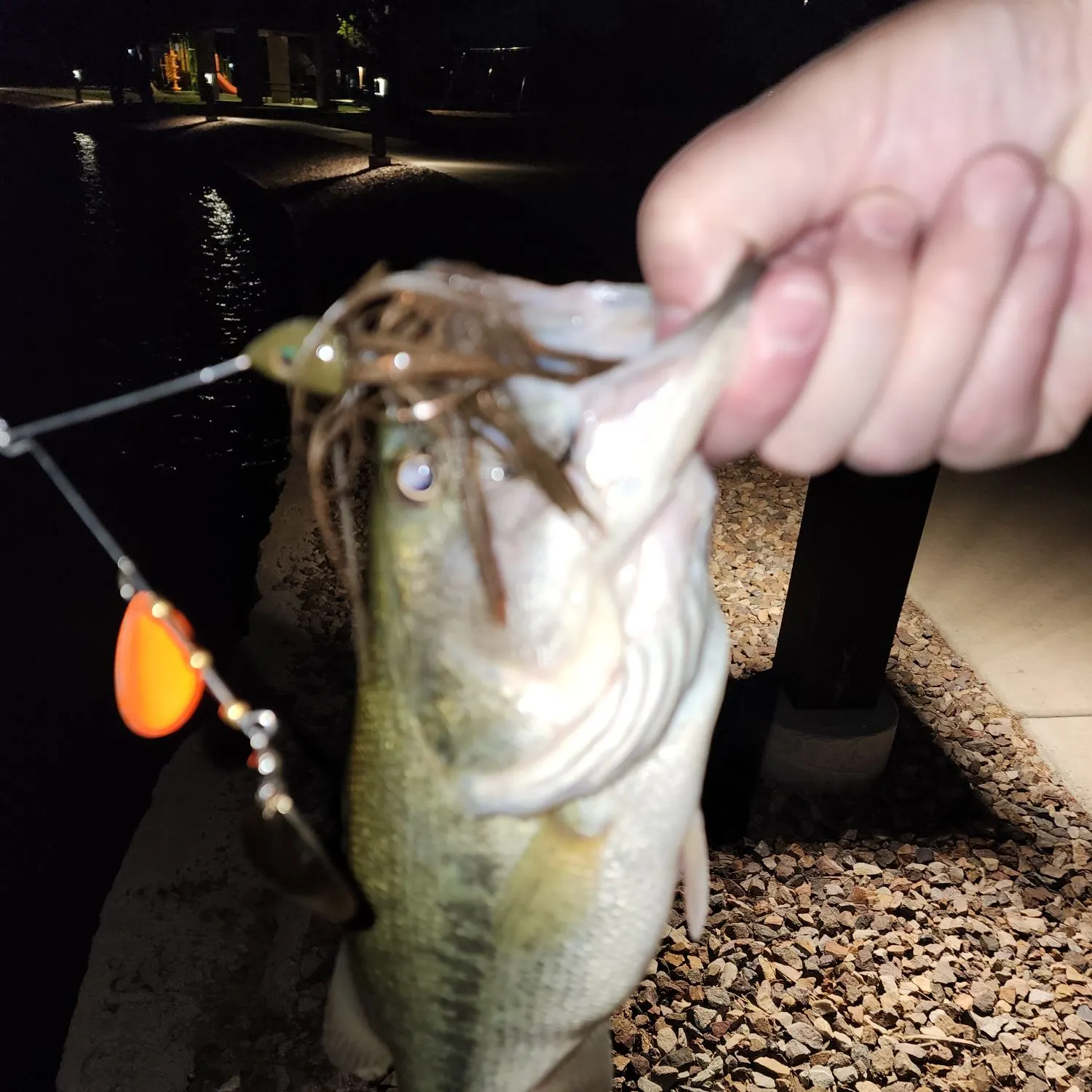
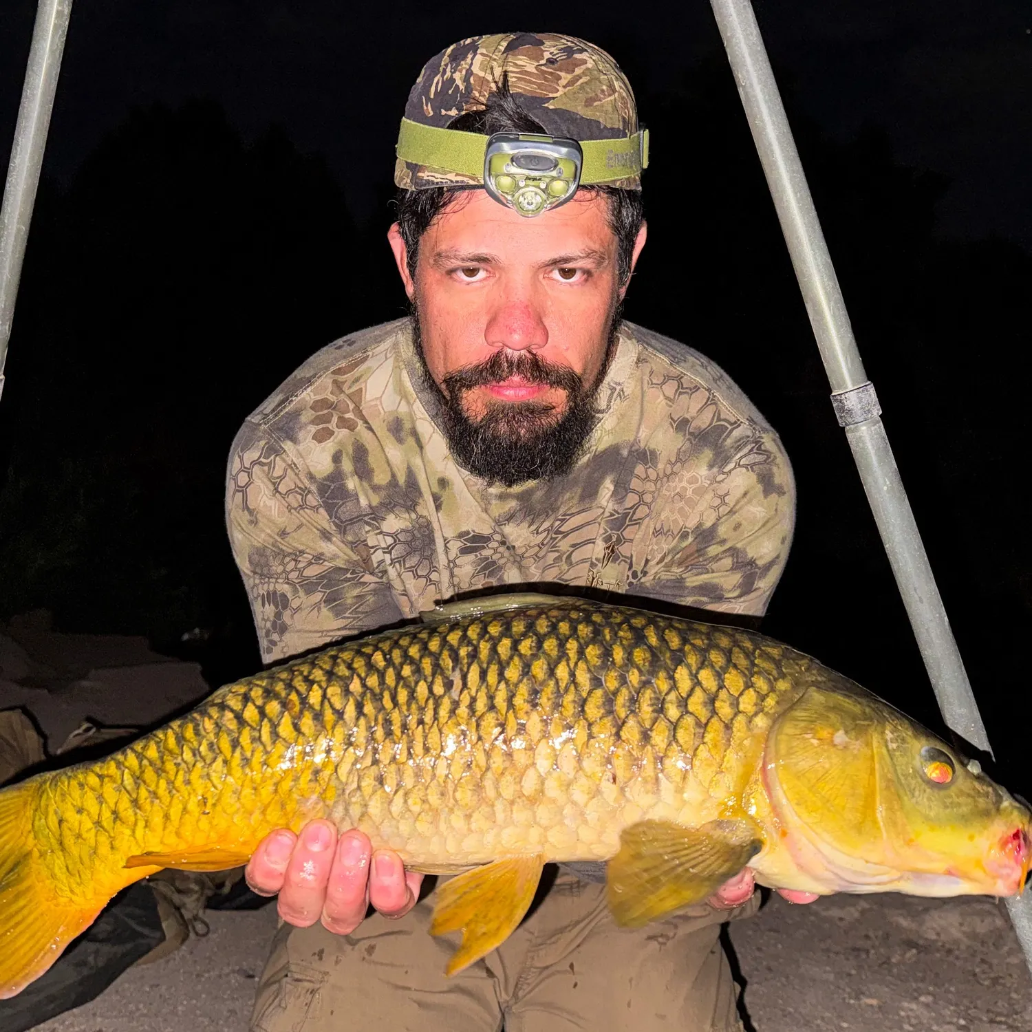
Biggest catches in Arizona
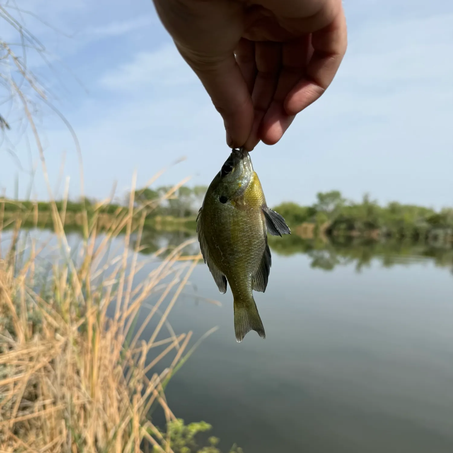
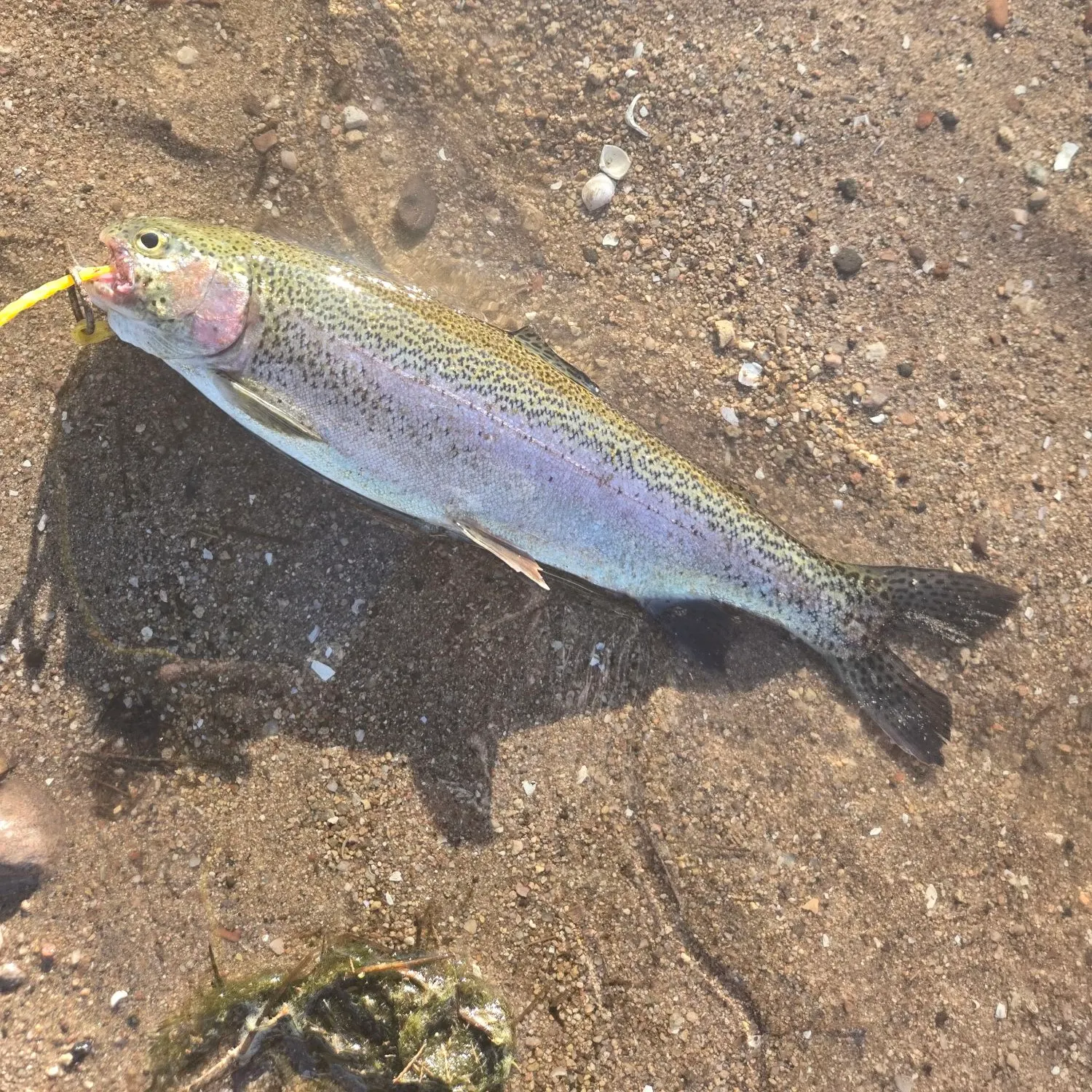
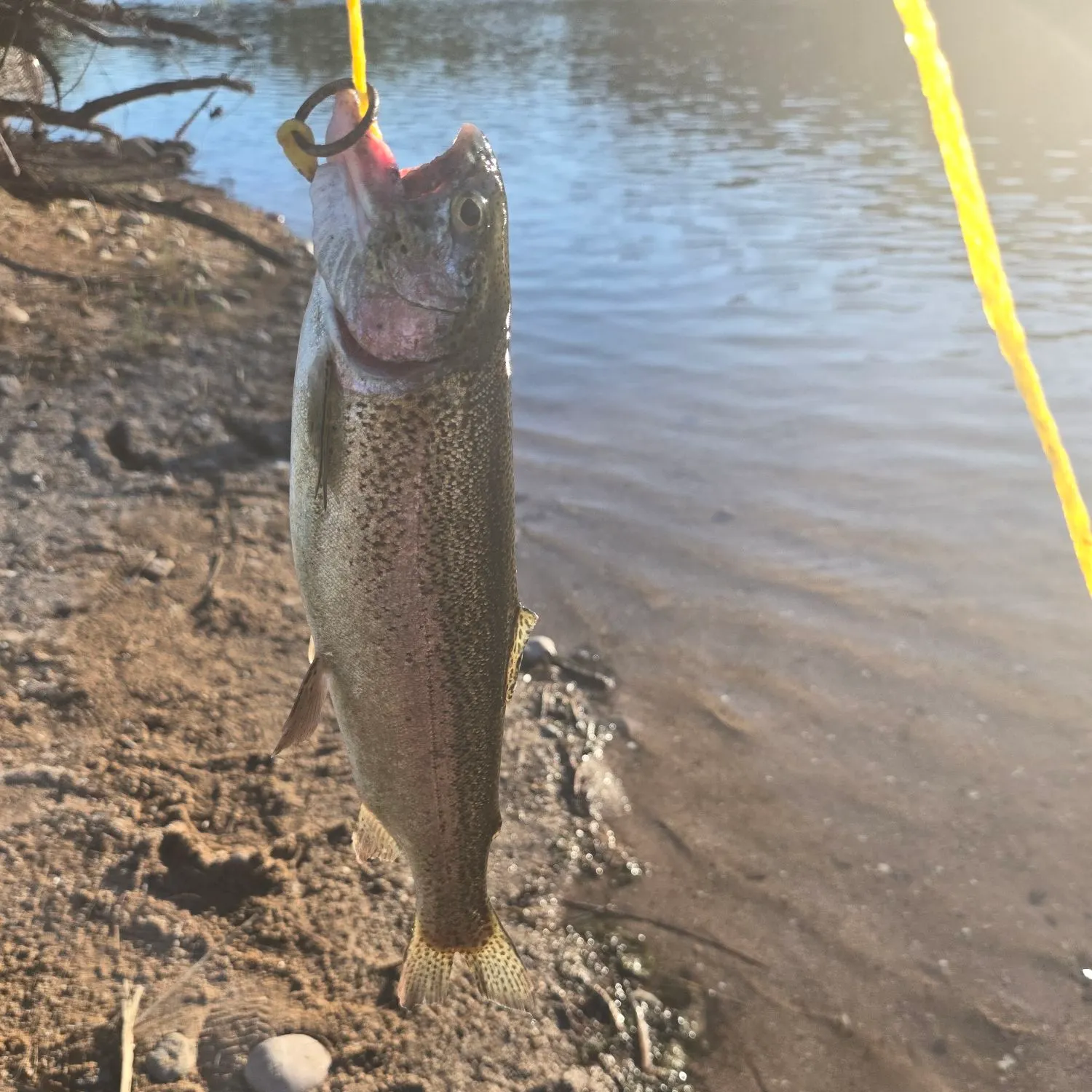
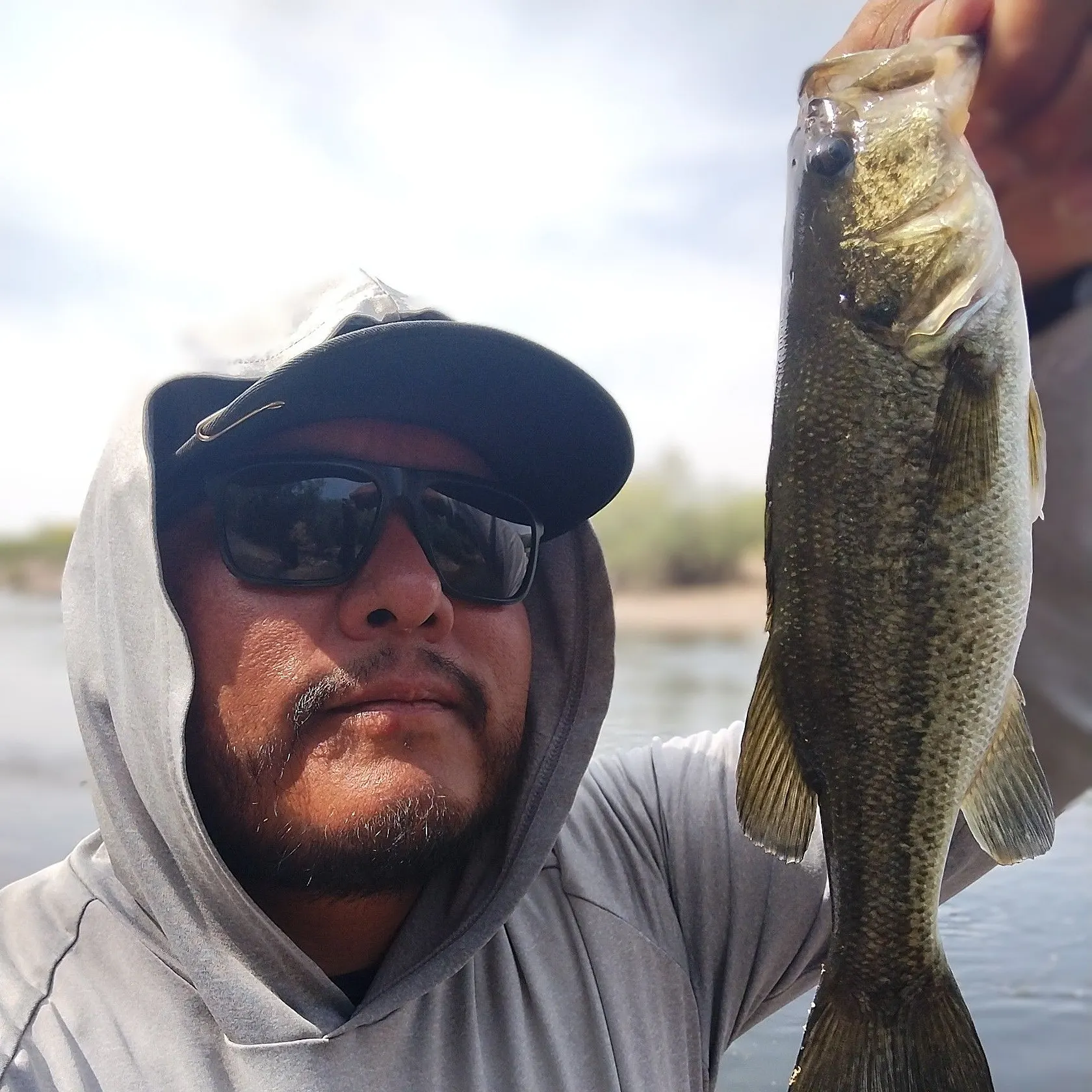
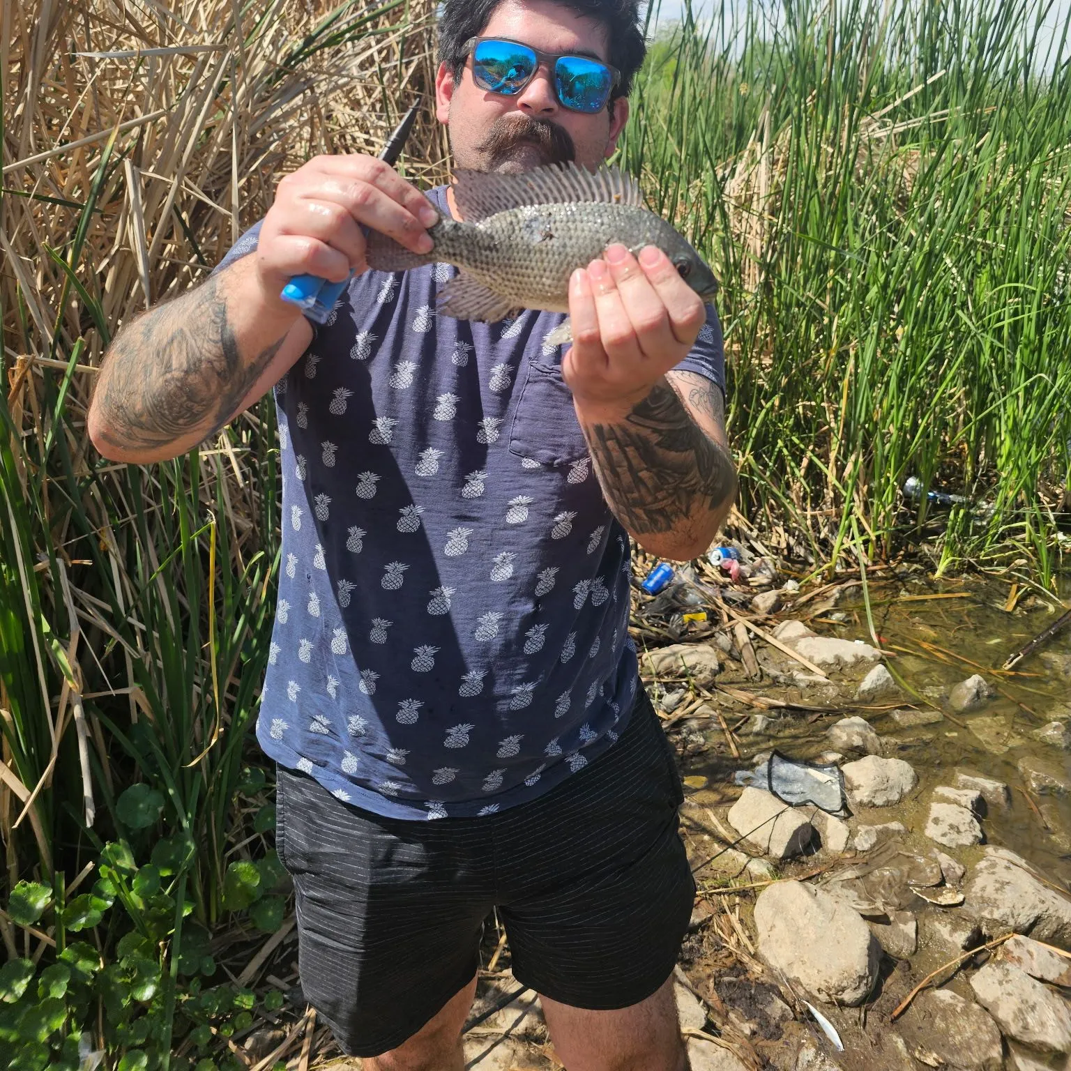
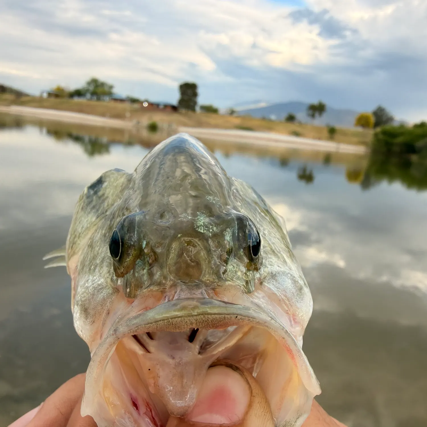
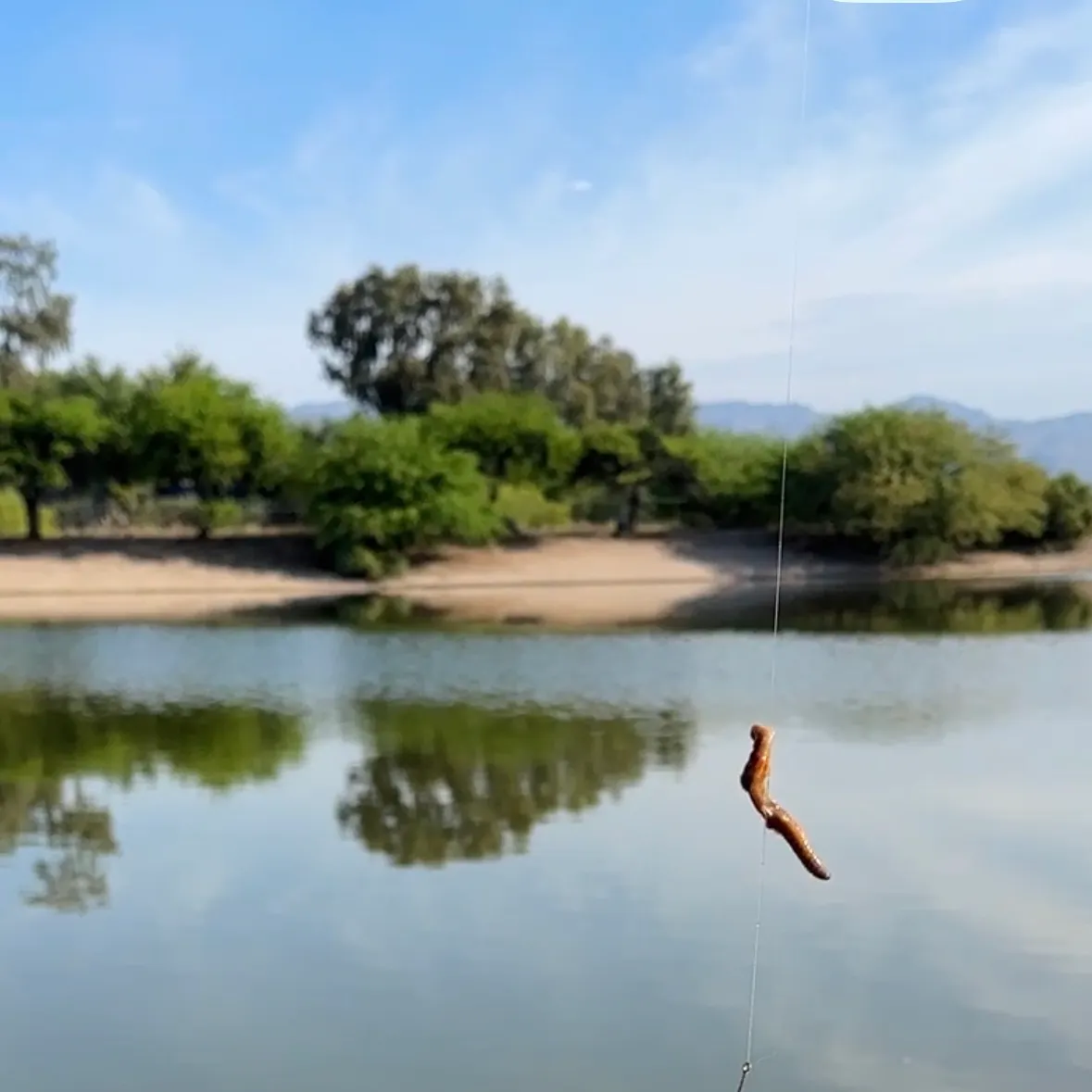
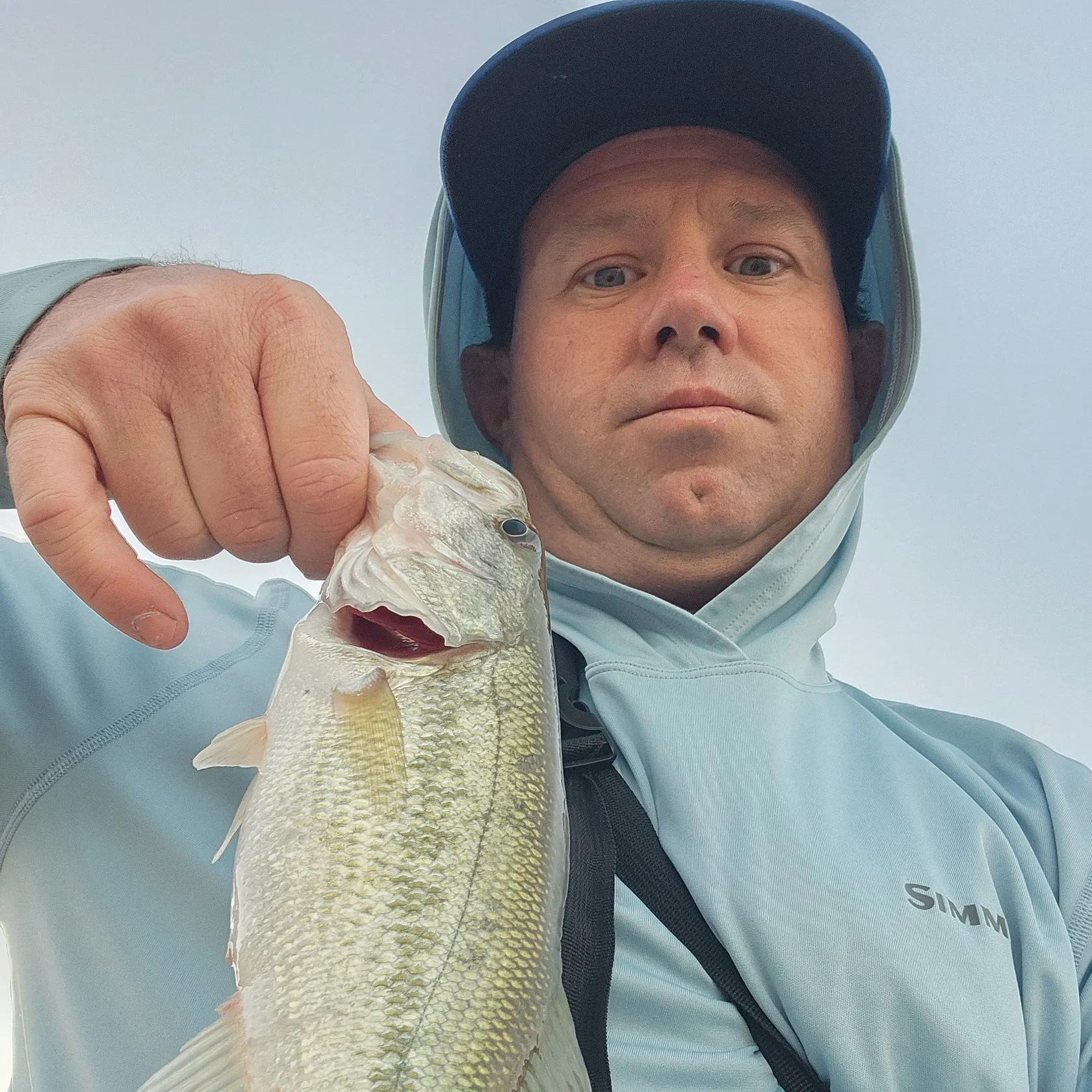
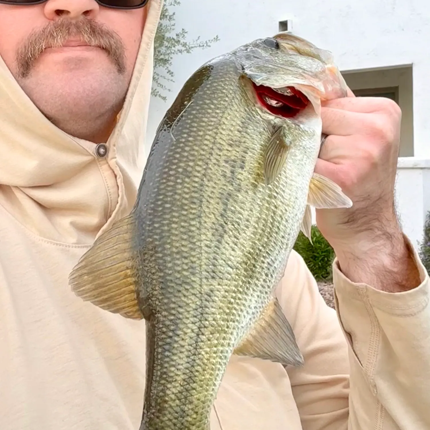
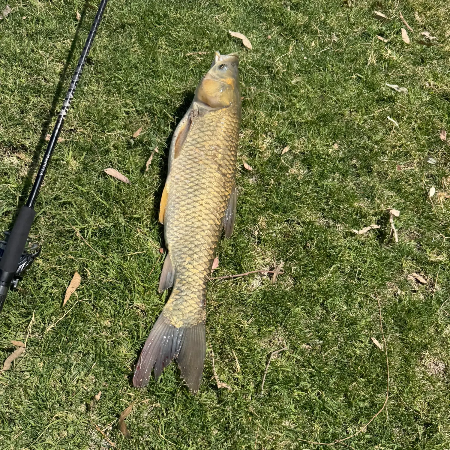
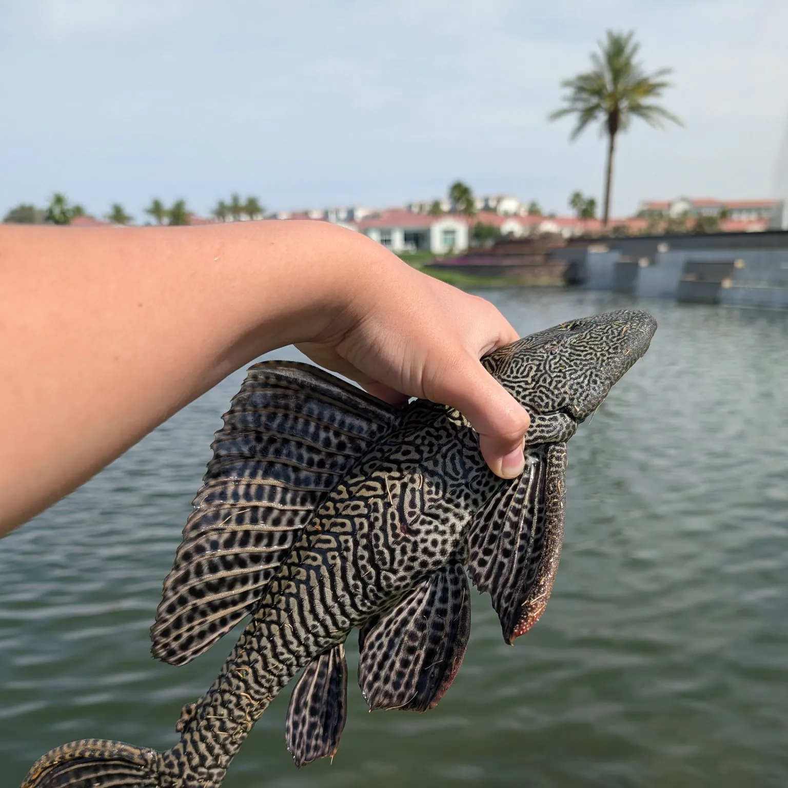
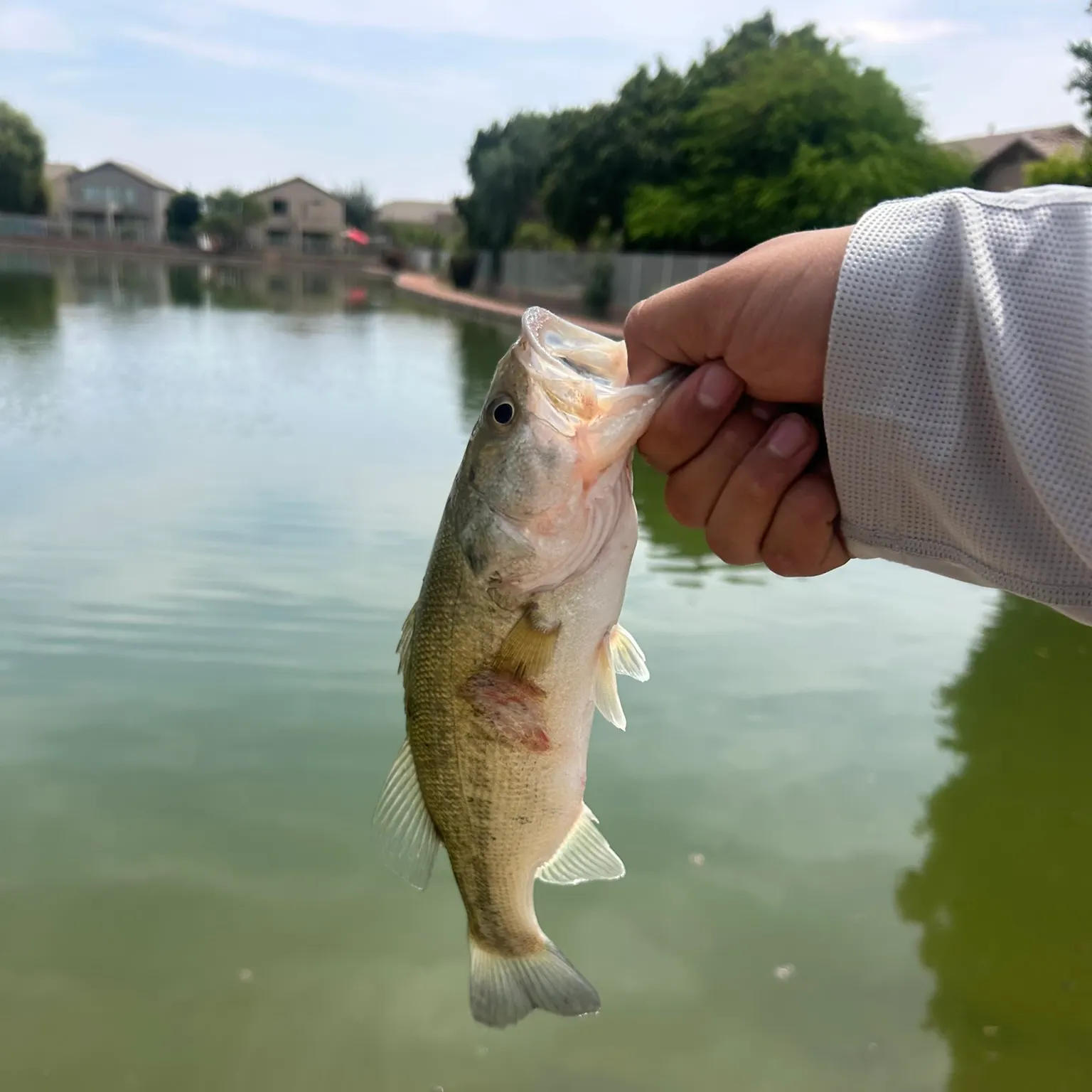
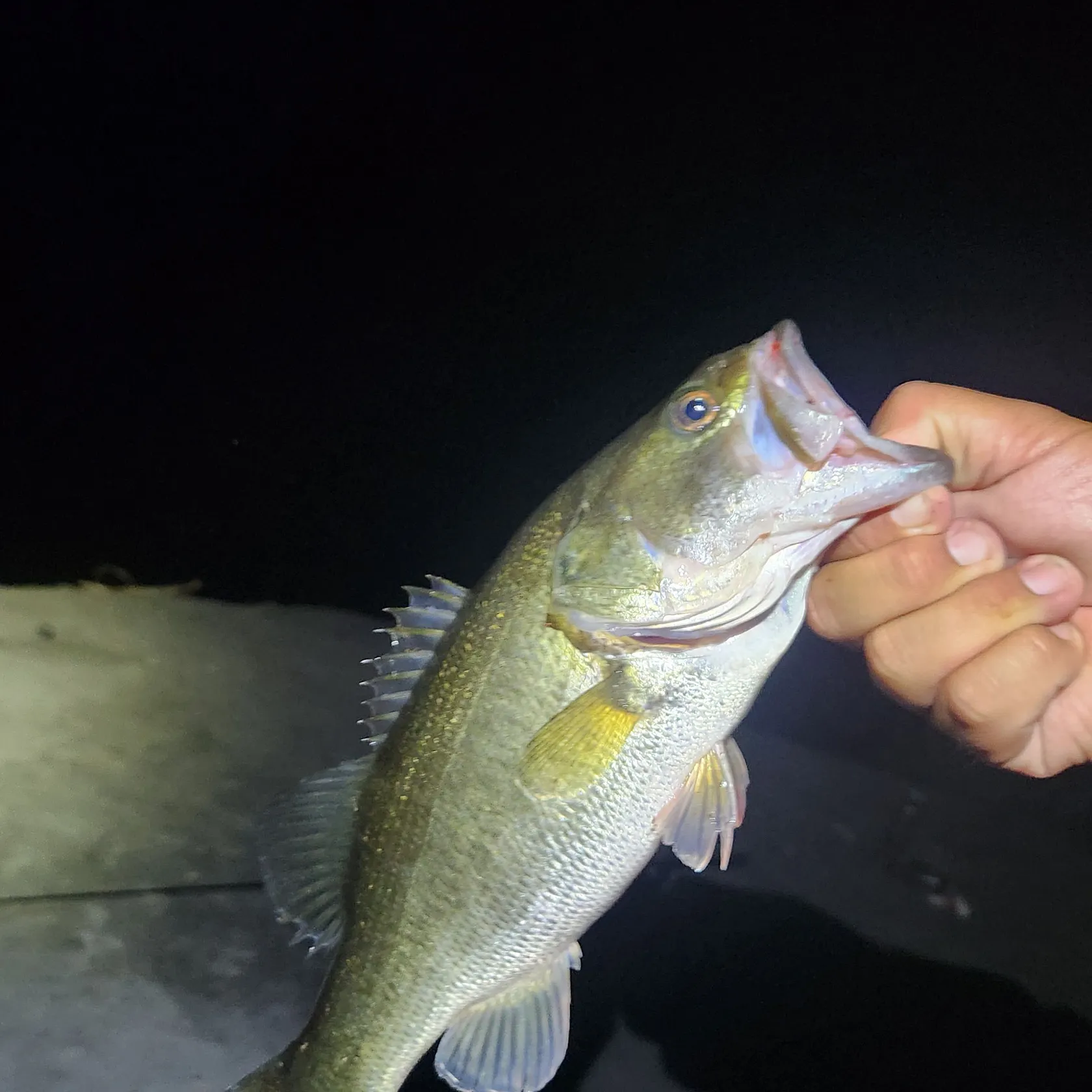
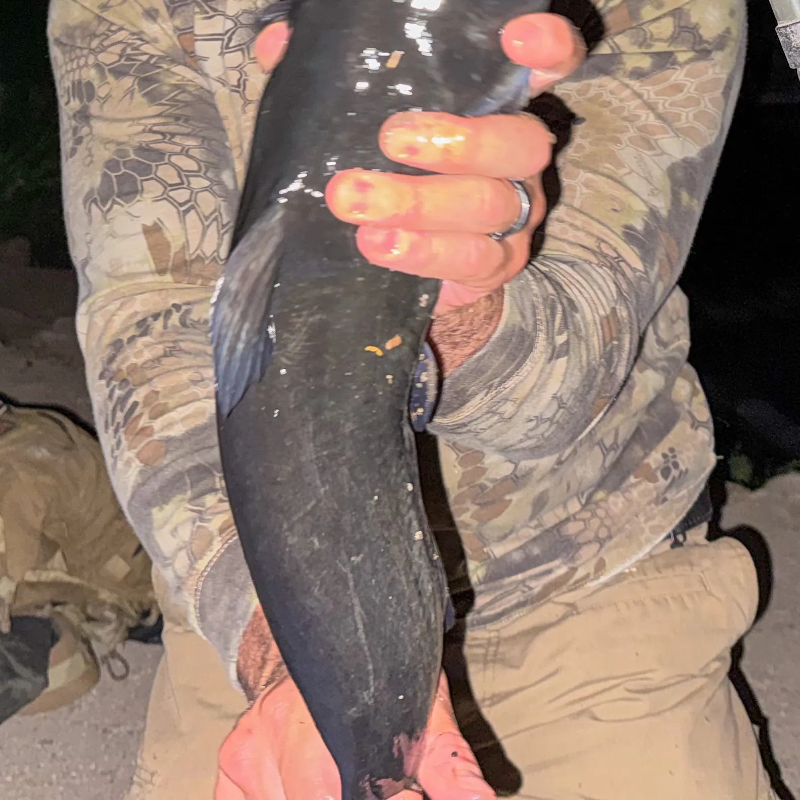
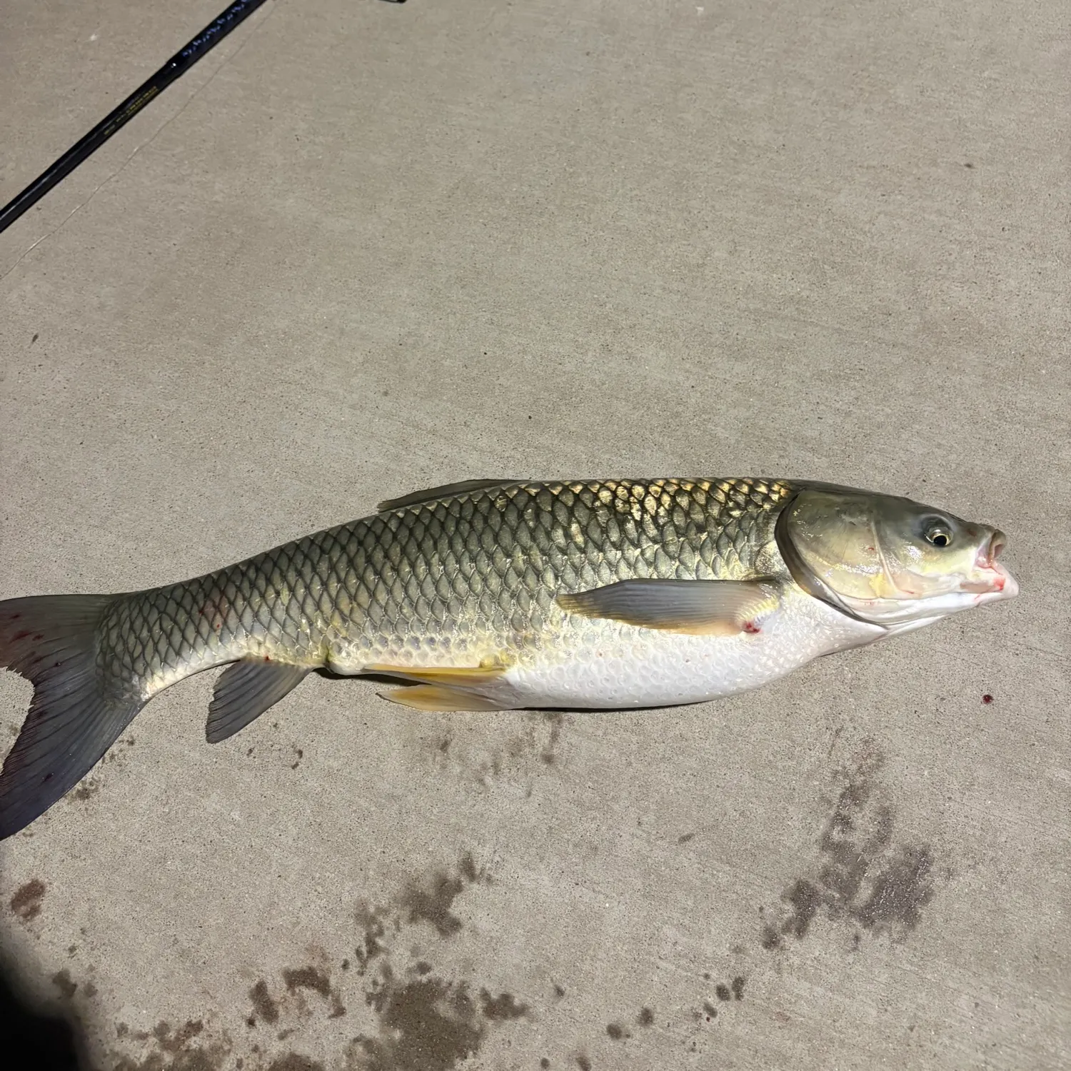
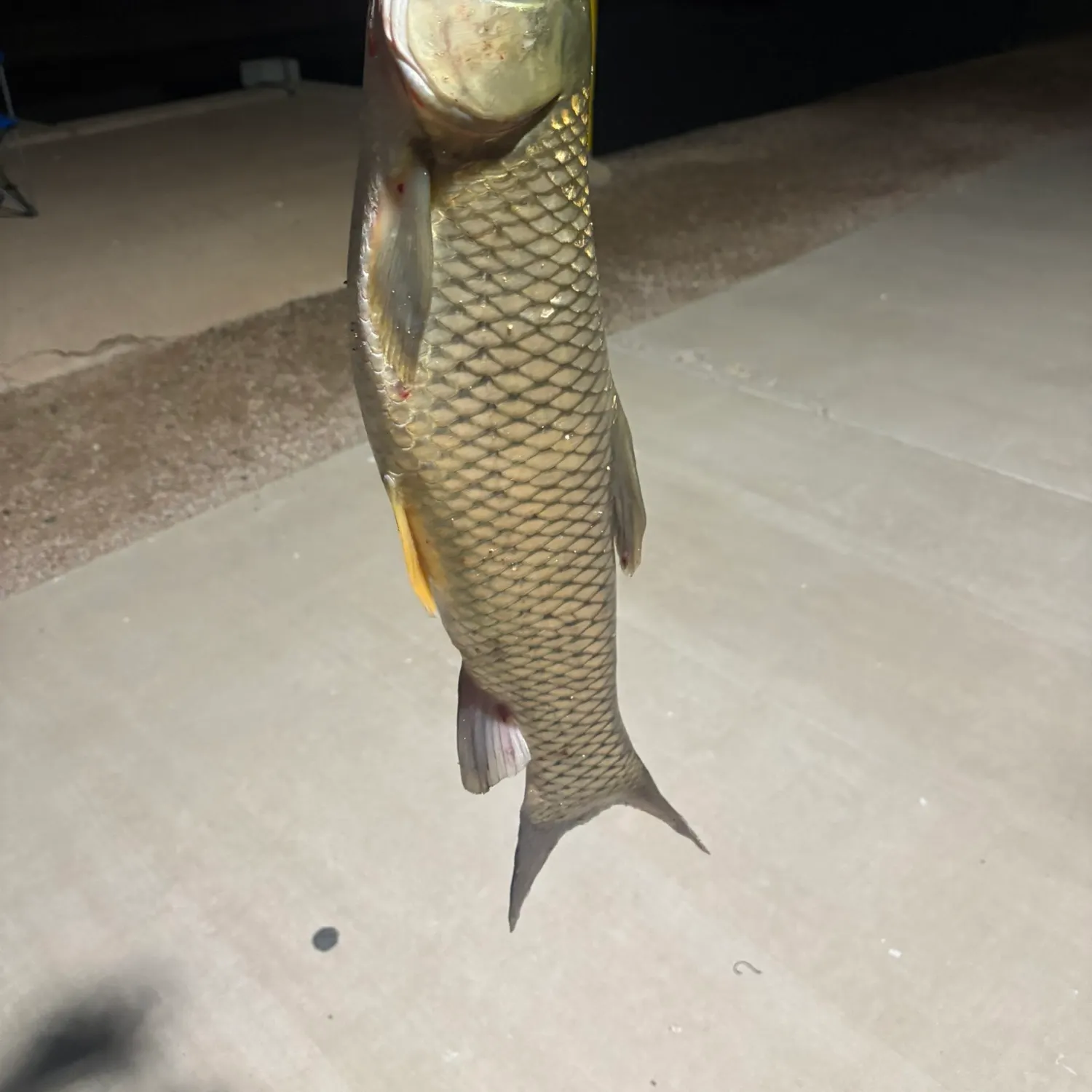
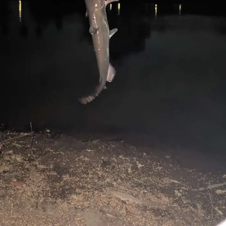
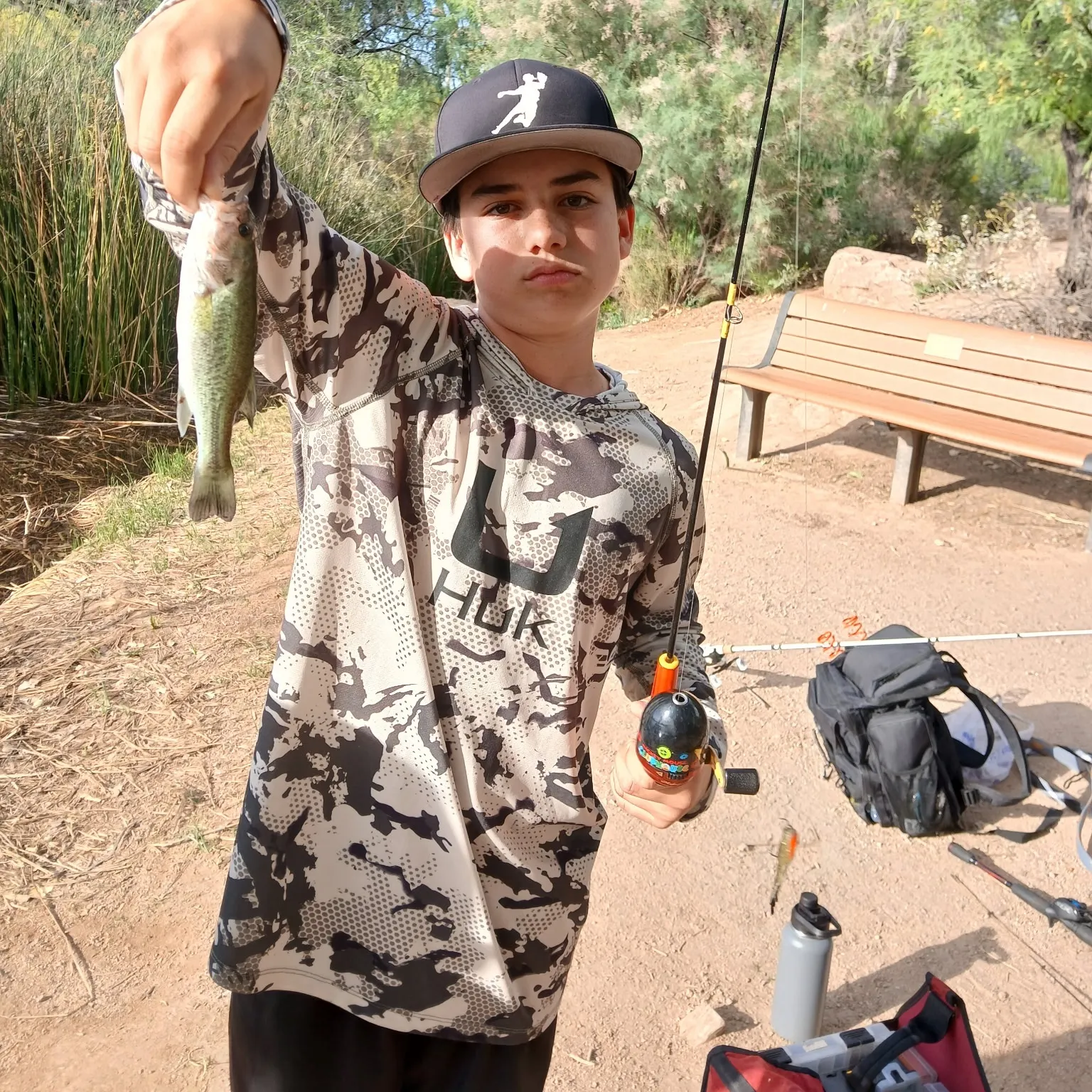
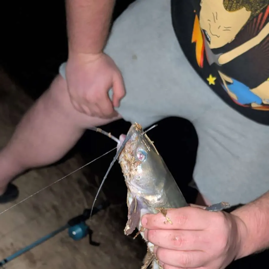
Latest Arizona fishing reports

Continue browsing catches and catch locations in the Fishbrain app
Fishing regulations in Arizona
Disclaimer: Always check local fishing regulations, water access rights and land ownership before fishing, regardless of any catches logged in that area by the Fishbrain community. Fishbrain has mapped millions of acres of government-owned land across the USA to help you identify potential fishing access, but you are responsible for ensuring compliance with all legal requirements.
Fishing regulations in Arizona can change throughout the year. Make sure to check this page before fishing for the most up to date rules and regulations for the current season. Local regulations govern when you can fish, the max size of the fish you can keep, how many fish you can keep, and more.
Below you will see fishing regulations for catching Largemouth bass as of April 1st, 2026. To view regulations for a different fish species, please click on your preferred species in the drop-down.
Seasons
Bag limit
Special gear
Aggregate
No size limit.
These regulations apply statewide unless Site-Specific Special Regulations apply to that body of water. Click here to see Site-Specific Special Regulations Statewide includes all state and federal refuges, parks and monuments; open areas do not include any area closed to hunting, fishing, or trapping.
CATCH AND RELEASE ONLY:
- Cluff Ranch Ponds
- Crystal Gardens Water Treatment Facility (city of Avondale)
- The Pond at Town Hall (town of Gilbert)
- Water Ranch Park Lake
CATCH AND RELEASE artificial flies and lures only:
- Lower Goldwater
UNLIMITED — NO LIMIT FOR EITHER LARGEMOUTH OR SMALLMOUTH BASS:
- Bear Canyon Lake
- Beaver Creek (Wet and Dry)
- Black Canyon Lake
- CC Cragin Reservoir (Blue Ridge)
- Chevelon Canyon Lake
- Colorado River-Glen Canyon Dam to Separation Canyon
- East Verde River
- Horseshoe Lake
- Knoll Lake
- Long Tom Lake
- Oak Creek
- Upper Salt River (Roosevelt Diversion Dam upstream to the Reservation Boundary)
- Verde River and tributaries
- Virgin River
- West Clear Creek
- Willow Springs Lake
- Woods Canyon Lake
1 BASS LIMIT, MINIMUM SIZE = 13-INCHES:
- Alamar Park Pond
- Bonsall Pond
- Council Avenue Pond
- Dave White Regional Park Pond
- Discovery Park Ponds
- Eastmark Park Pond
- Eldorado Park Pond
- Evelyn Hallman Pond
- Festival Fields Pond
- Freestone Pond
- Friendship Pond
- Gilbert Regional Park Pond
- Goldwater Lake
- Graham County Fairgrounds Pond
- Greenfield Pond
- Heroes Regional Park Pond
- McQueen Pond
- Pacana Park Pond
- Pacific Avenue Athletic Complex Pond
- Papago Park Ponds
- Patterson Ponds (St. Johns)
- Rio Vista Park Pond
- Roadrunner Park Pond
- Show Low Creek Meadow
- Steele Indian School Park Pond
- West Wetlands Pond
1 BASS LIMIT: (no size limit):
- Community fishing ponds: bag limit = 1 bass (largemouth or smallmouth)
2 BASS LIMIT:
- Dead Horse Ranch State Park Lagoons
- Community fishing lakes: bag limit = 2 bass (largemouth or smallmouth)
2 BASS LIMIT, MINIMUM SIZE = 13-INCHES:
- Alvord Lake
- Cataract Lake
- City Reservoir
- Chaparral Park Lake
- Copper Sky Lake
- Cortez Park Lake
- Desert Breeze Park Lake
- Desert West Park Lake
- Dogtown Lake
- Encanto Park Lake
- Fain Lake
- Fortuna Lake
- Francis Short Pond
- Green Valley Park Lakes
- Kaibab Lake
- Kennedy Park Lake
- Kiwanis Park Lake
- Lakeside Lake
- Mansel Carter Oasis Lake
- Paloma Park Lake
- Pioneer Lake
- Red Mountain Park Lake
- Redondo Lake
- Riverview Park Lake
- Santa Fe Reservoir
- Silverbell Lake
- Sahuarita Park Lake
- Stone Dam
- Sundance Park Lake
- Surprise Park Lake
- Tempe Town Lake
- Veterans Oasis Park Lake
- Whitehorse Lake
- Yavapai Lakes
6 BASS LIMIT, MINIMUM SIZE = 13-INCHES:
- Topock Marsh
- Colorado River-Davis Dam to the International Boundary
20 SMALLMOUTH BASS, 5 LARGEMOUTH BASS LIMIT:
- Lake Powell
Micropterus nigricans
Regulations for
/-112.073844,33.448457,10,0.00,0.00/600x250?access_token=pk.eyJ1IjoiZmlzaGJyYWluLWRldiIsImEiOiJjbDl6ZDU2amEwZXFtM29rNmI5cTV5ZGZ3In0.PEsOW8Rbc7G-mIBHpNXeGQ&logo=false&attribution=false)
Free trial available