Pilot BayTauranga EntranceOtumoetai ChannelCutter ChannelTown ReachStella PassageTilby ChannelTauranga EntranceMatakana BankWaikareao Estuary

Maunganui Roads
Fishing spots, fishing reports, and regulations in
5.0·26 catches
26
Logged catches
5.0
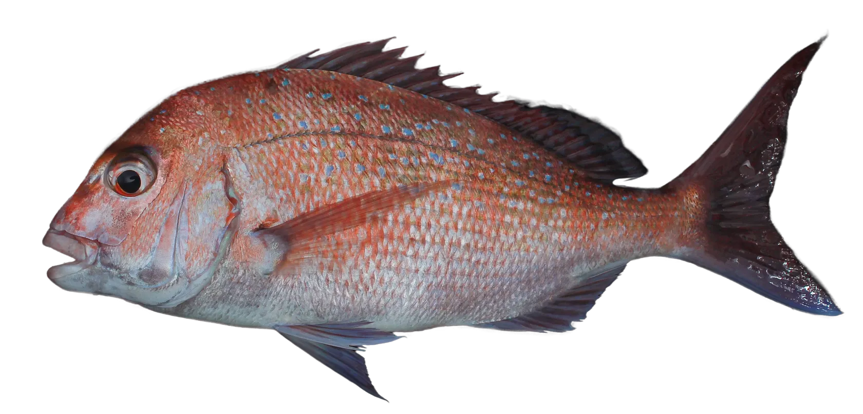
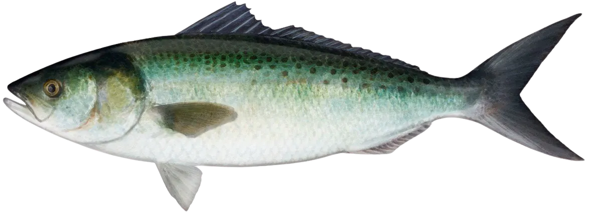
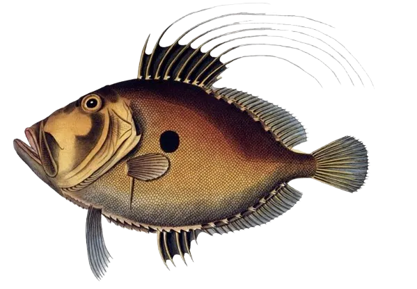
Top fish species at Maunganui Roads
See all species in the Fishbrain app

Check which species have trophy potential in Maunganui Roads
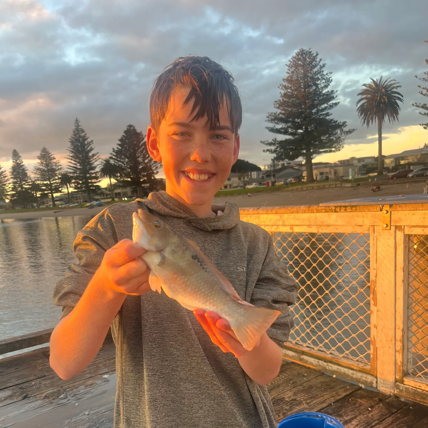
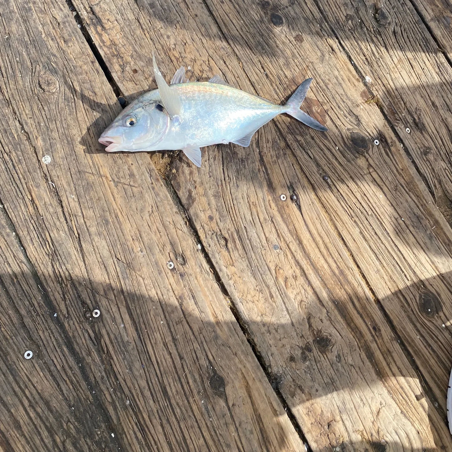
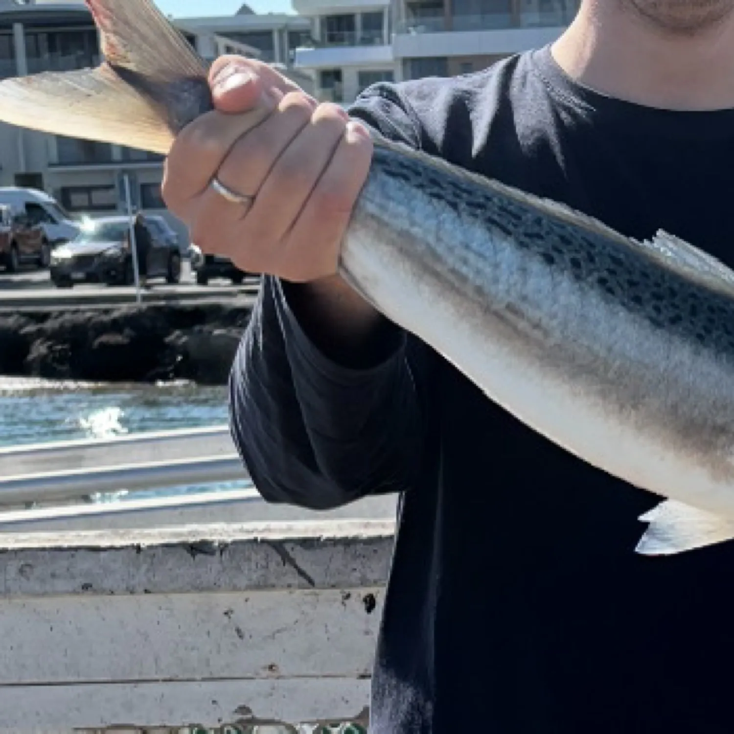
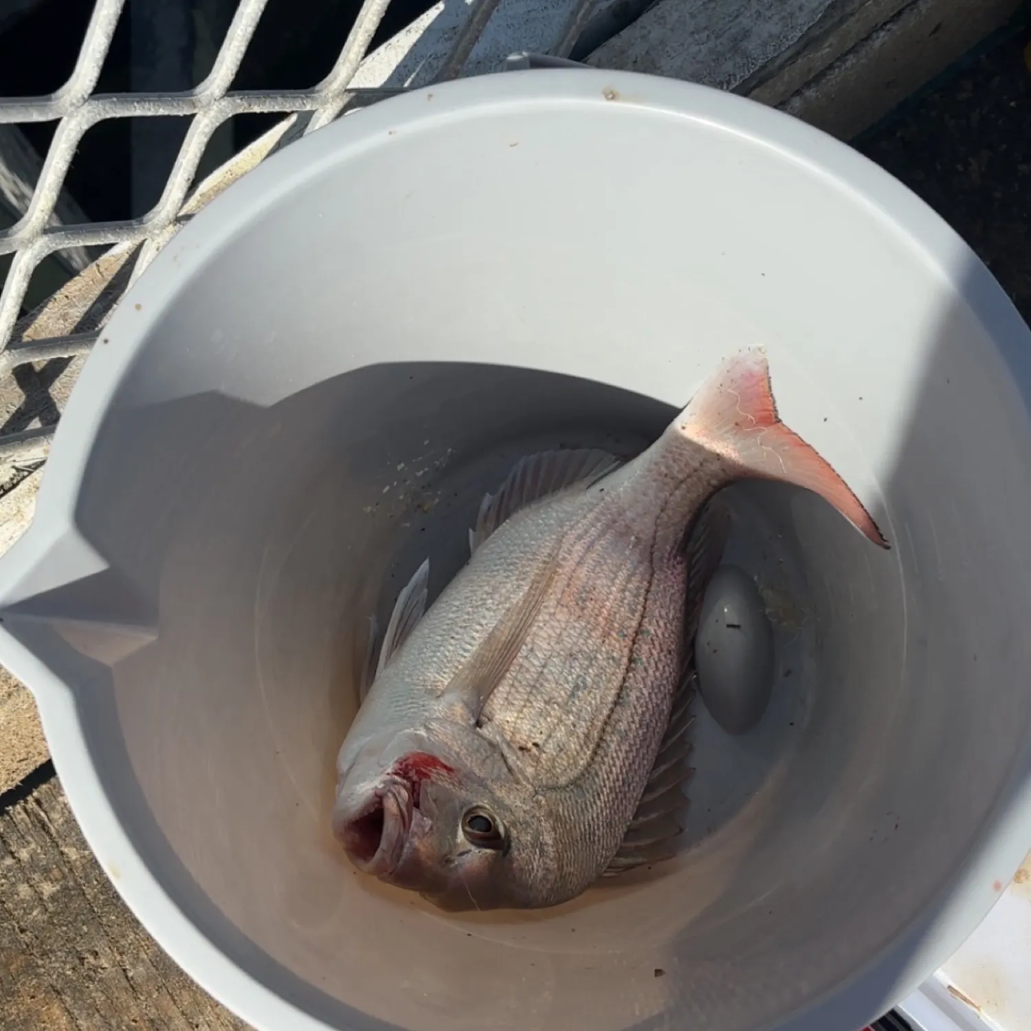
Maunganui Roads fishing reports
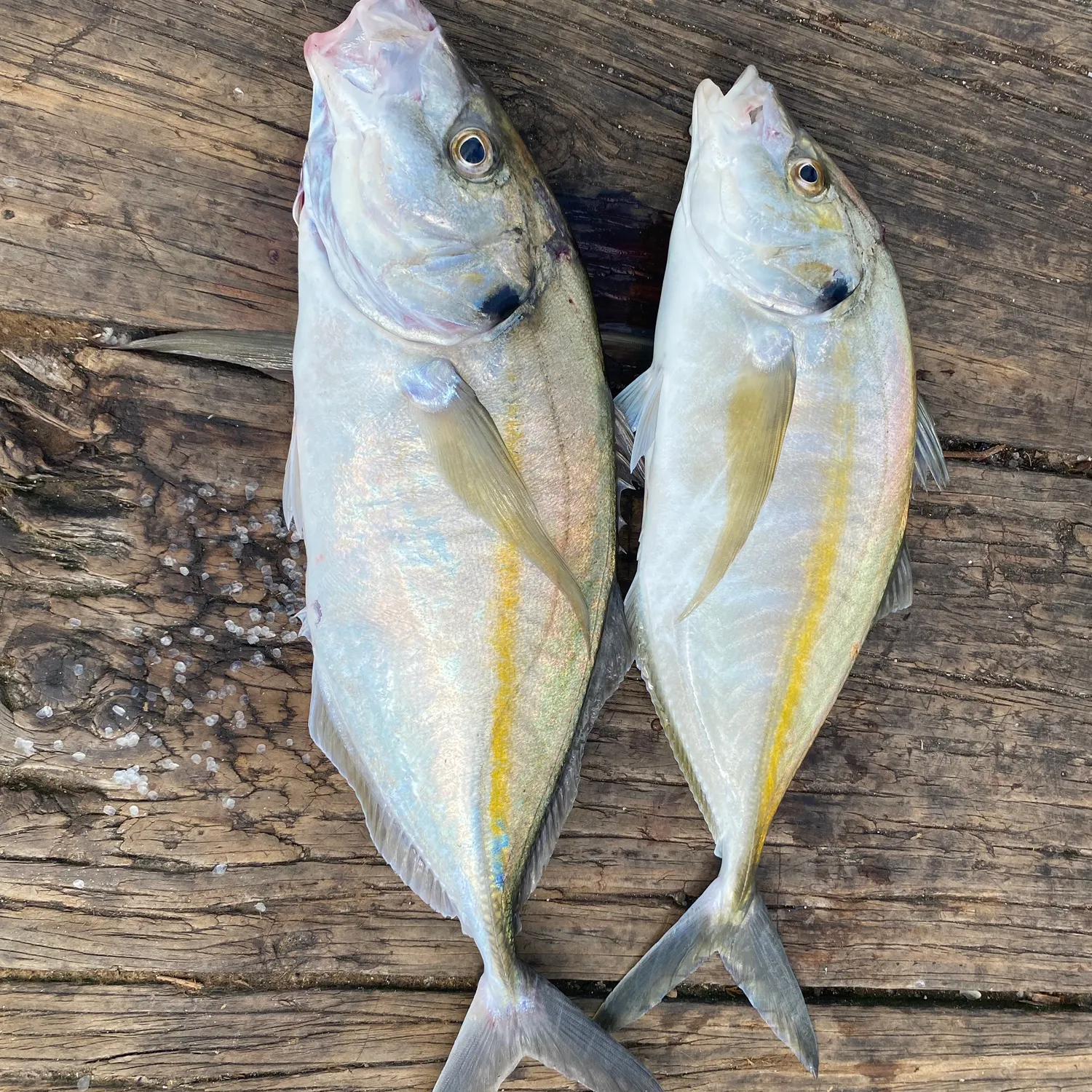
length · weight
length · weight

More catches in the app...
Continue browsing catches and catch locations in the Fishbrain app

Download Fishbrain and fish smarter
Unlimited access to the best fishing spot finder in the game. Get all the fishing intel you need to start catching more, and bigger, fish.
Free trial available