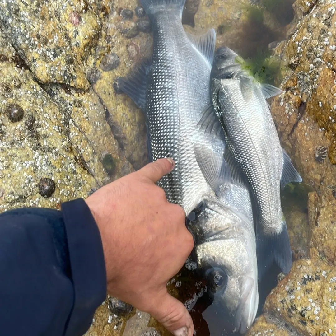
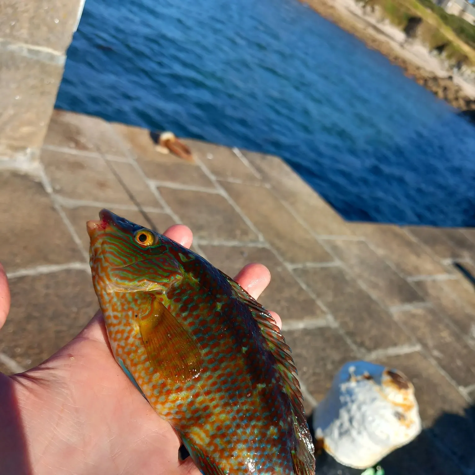
Map

Port du Cap Lévi

Fishing spots, fishing reports, and regulations in

Lower Normandy, France

1 catch

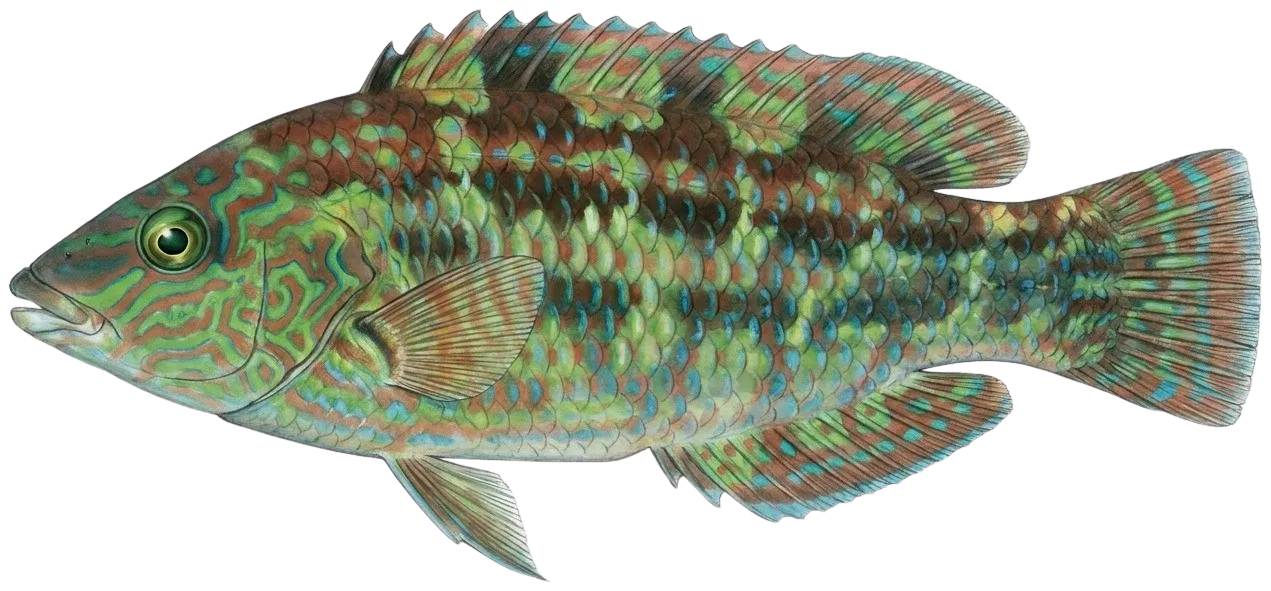
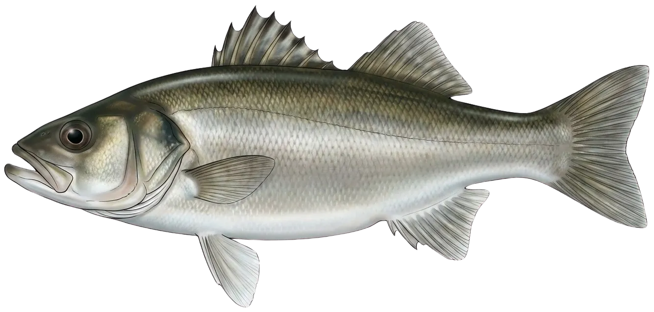
Top fish species at Port du Cap Lévi

Corkwing wrasse
Corkwing wrasse
App Section

Check which species have trophy potential in Port du Cap Lévi

Port du Cap Lévi fishing reports

fish catches icon
recently logged catches
Loading...

Corkwing wrasse

length · weight

Fishbrain
Have you been fishing here?

Log your catch and check out other catches from the community in the Fishbrain app.

Loading...
Loading...
Loading...

General info

Port du Cap Lévi is a water located in Lower Normandy, France. It is most popular for fishing Corkwing wrasse.

Location

49°41′11.4″N 1°28′34.2″W
Directions

Anything missing or inaccurate?

Suggest changes to improve what we show.

Suggest changes

FAQ about Port du Cap Lévi fishing

Port du Cap Lévi is a water located in Lower Normandy, France. Its coordinates are:
49°41′11.4″N 1°28′34.2″W
.
Find the best fishing spots on Port du Cap Lévi by looking at where other anglers have caught fish. This can easily be done in the where it is also possible to see big fish potential and how good fishing is right now along with Garmin® depth maps.
The most common species in Port du Cap Lévi are:
The latest Port du Cap Lévi fishing reports are:
App Section
Download Fishbrain and fish smarter
Unlimited access to the best fishing spot finder in the game. Get all the fishing intel you need to start catching more, and bigger, fish.

Free trial available

Loading...
Loading...
Loading...
Loading...