Map

MacDonnell Bay

Fishing spots, fishing reports, and regulations in

South Australia, Australia

20 catches

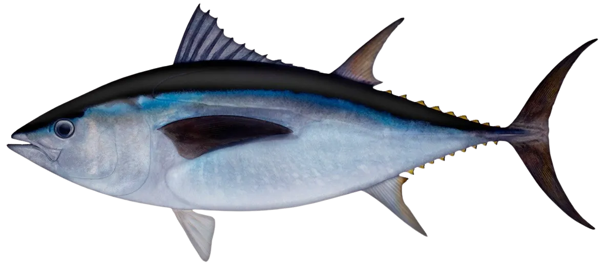
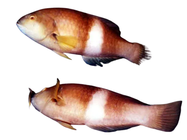
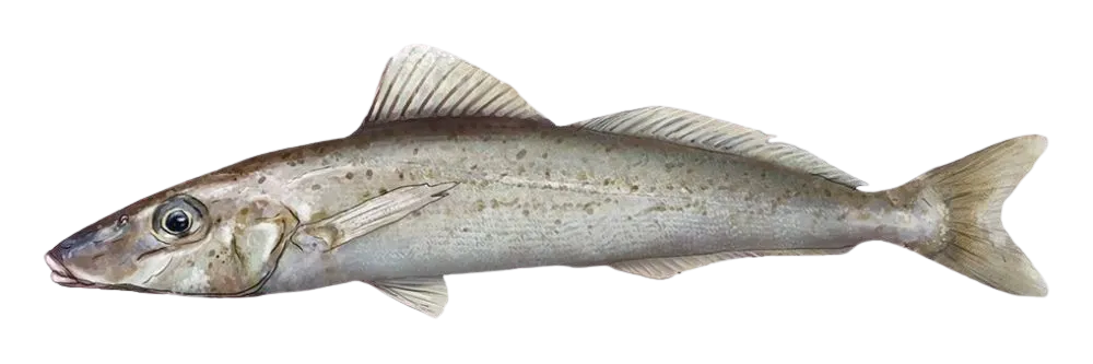
Top fish species at MacDonnell Bay

App Section

Check which species have trophy potential in MacDonnell Bay

MacDonnell Bay fishing reports

fish catches icon
recently logged catches
Loading...

Southern bluefin tuna

length · weight

fish catches icon
recently logged catches
Loading...

Yellow-eye mullet

length · weight

fish catches icon
recently logged catches
Loading...

Southern fiddler

length · weight

fish catches icon
recently logged catches
Loading...

Tope shark

length · weight

fish catches icon
recently logged catches
Loading...

Southern bluefin tuna

length · weight

fish catches icon
recently logged catches
Loading...

Southern bluefin tuna

41 in · 33 lb

Fishbrain
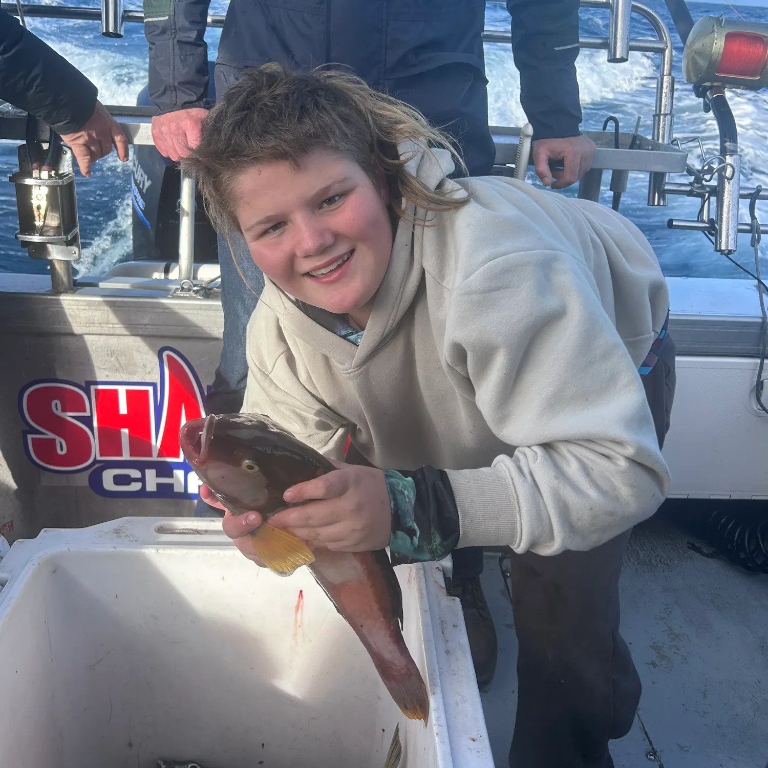
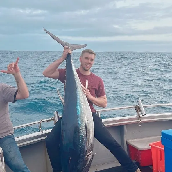
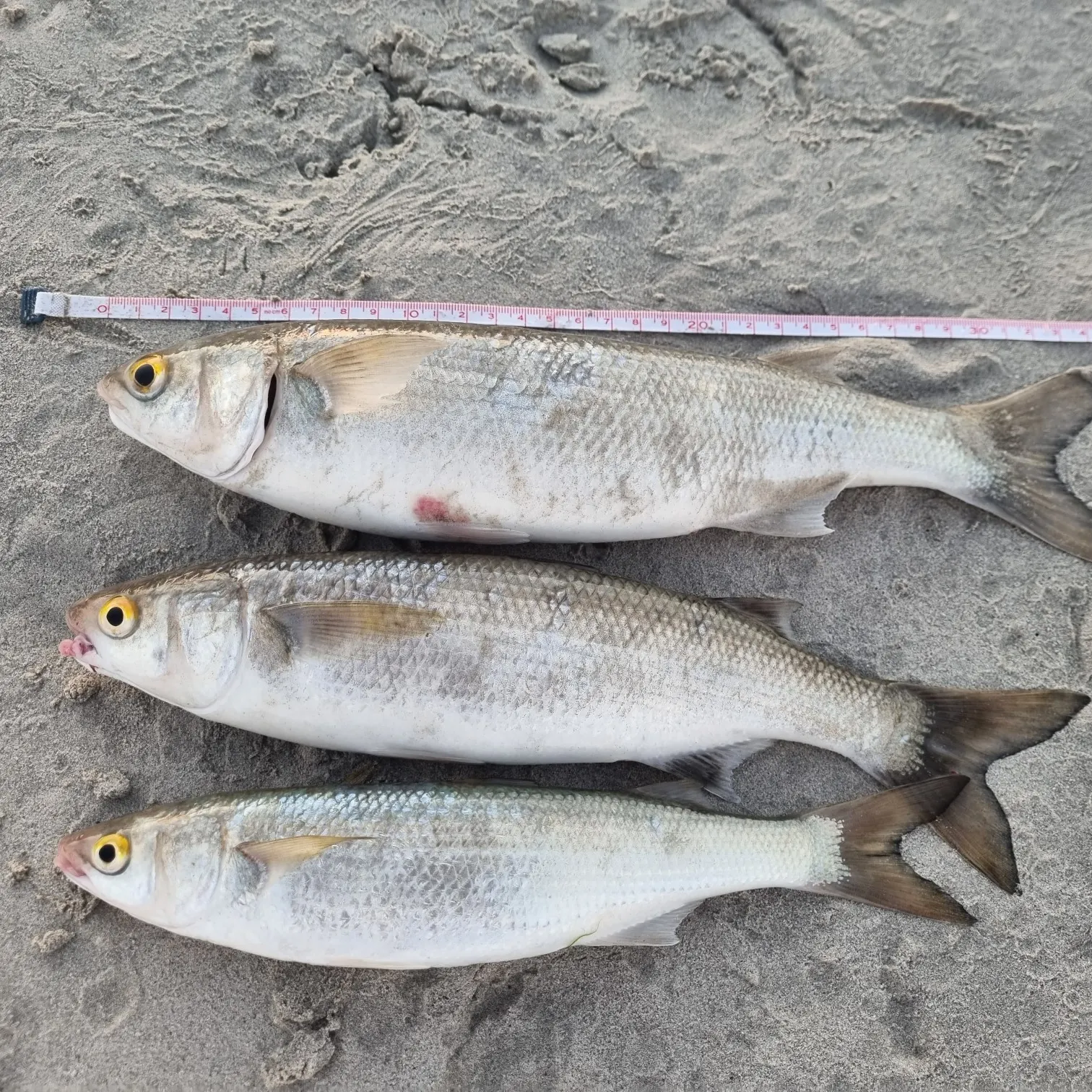
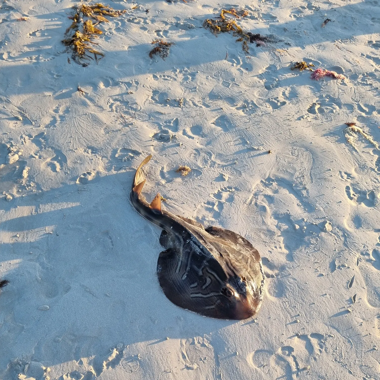
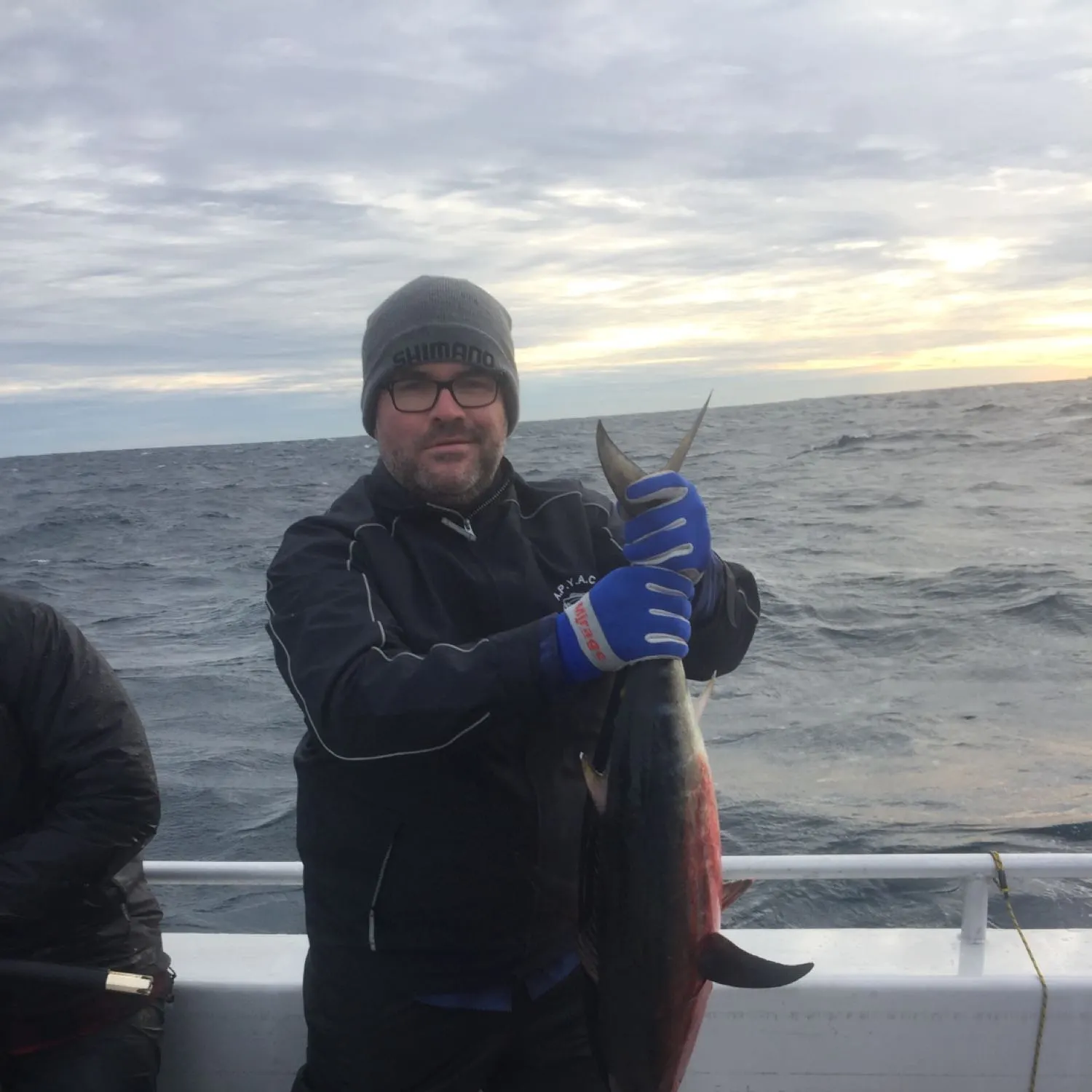
More catches in the app...

Continue browsing catches and catch locations in the Fishbrain app

Loading...
Loading...
Loading...

General info

MacDonnell Bay is a water located in South Australia, Australia. It is most popular for fishing Southern bluefin tuna, King George whiting, and Tope shark.

Location

38°03′34.9″S 140°43′19.2″E
Directions

Cities nearby

Mount Gambier

16.3 miles away

Warrnambool

98.2 miles away

Horsham

123.2 miles away

Stawell

131.9 miles away

Ballarat

174.0 miles away

Maryborough

179.1 miles away

Geelong

197.3 miles away

Lara

201.0 miles away

Leopold

203.6 miles away

Barwon Heads

206.5 miles away

Victor Harbor

208.8 miles away

Bendigo

214.5 miles away

Murray Bridge

218.7 miles away

Sunbury

220.3 miles away

Mount Barker

231.4 miles away

Melbourne

231.7 miles away

Wallan

237.0 miles away

Mount Eliza

237.6 miles away

Frankston

238.9 miles away

Dandenong

244.5 miles away

Swan Hill

244.9 miles away

Adelaide

246.4 miles away

Seymour

251.7 miles away

Berri

261.0 miles away

Anything missing or inaccurate?

Suggest changes to improve what we show.

Suggest changes

FAQ about MacDonnell Bay fishing

MacDonnell Bay is a water located in South Australia, Australia. Its coordinates are:
38°03′34.9″S 140°43′19.2″E
.
Find the best fishing spots on MacDonnell Bay by looking at where other anglers have caught fish. This can easily be done in the where it is also possible to see big fish potential and how good fishing is right now along with Garmin® depth maps.
The most common species in MacDonnell Bay are:
The latest MacDonnell Bay fishing reports are:
App Section
Download Fishbrain and fish smarter
Unlimited access to the best fishing spot finder in the game. Get all the fishing intel you need to start catching more, and bigger, fish.

Free trial available

Loading...
Loading...
Loading...
Loading...