- Canada/
- Prince Edward Island

Fishing in Prince Edward Island
Find fishing spots near you with Fishbrain's interactive crowd-sourced map
Top fishing waters in Prince Edward Island


Want trophy-size catches? These Prince Edward Island spots deliver
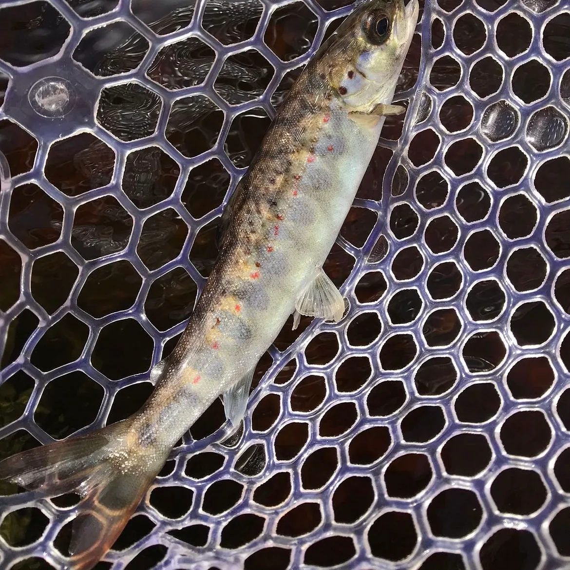
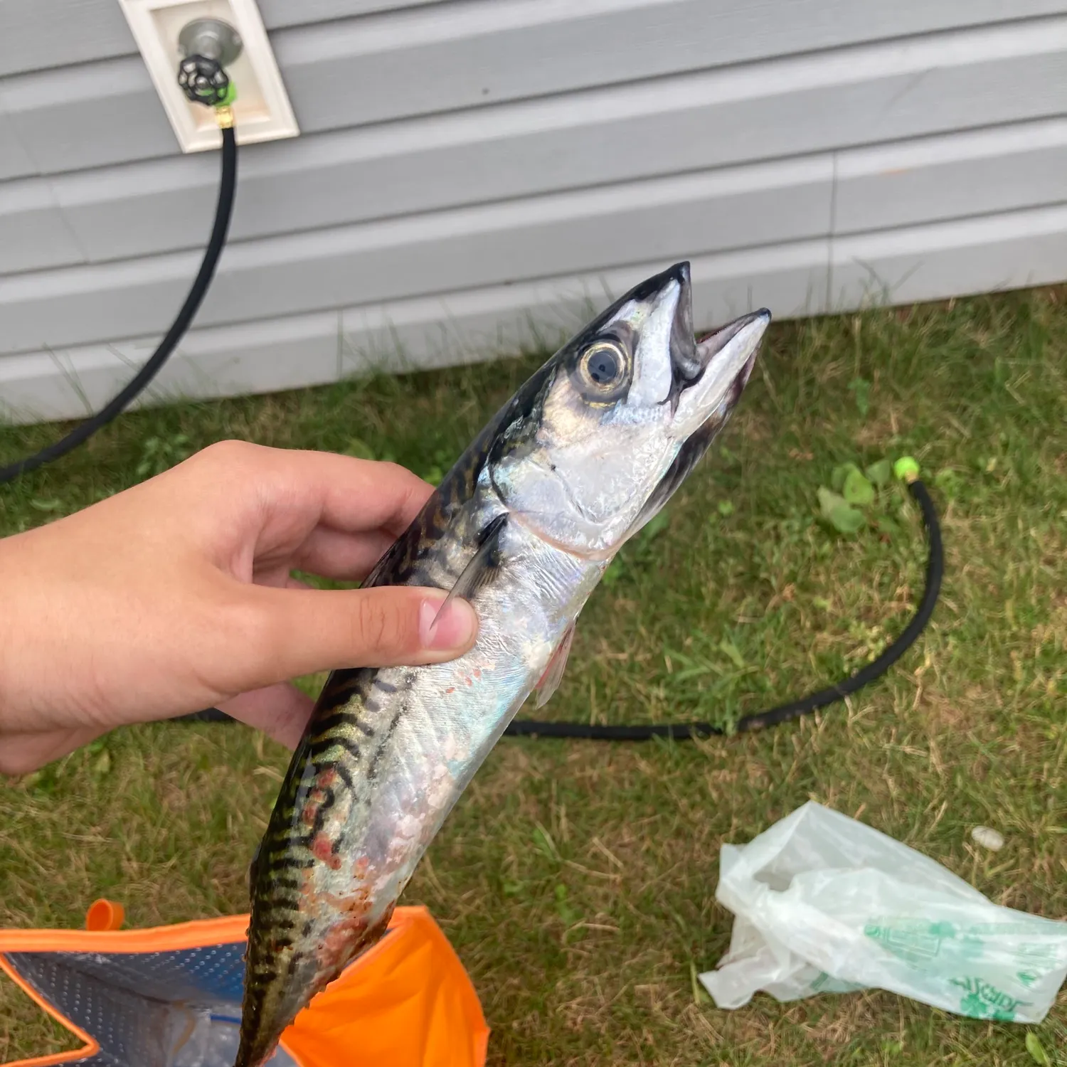
Top fish species caught in Prince Edward Island


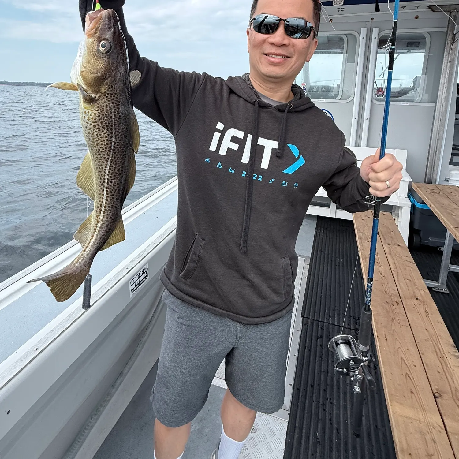
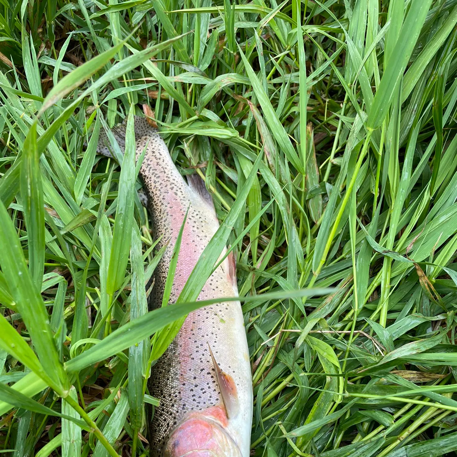
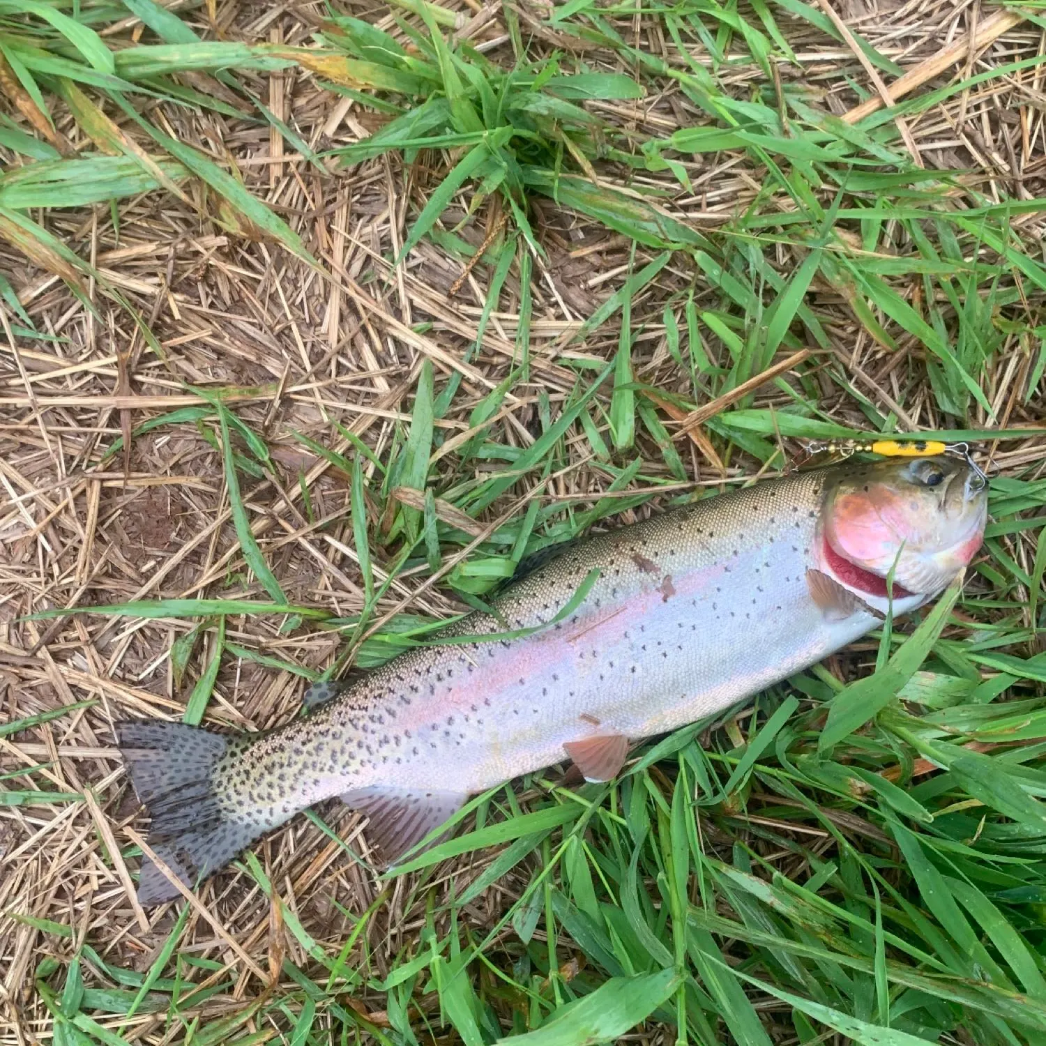
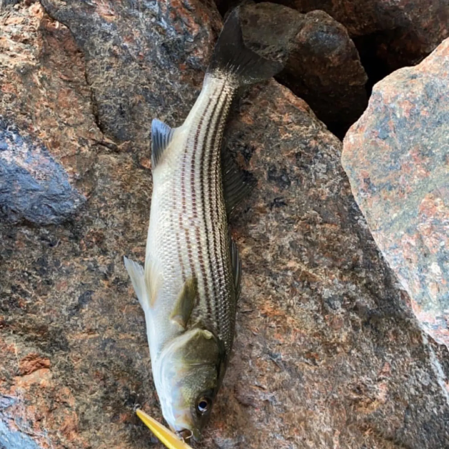
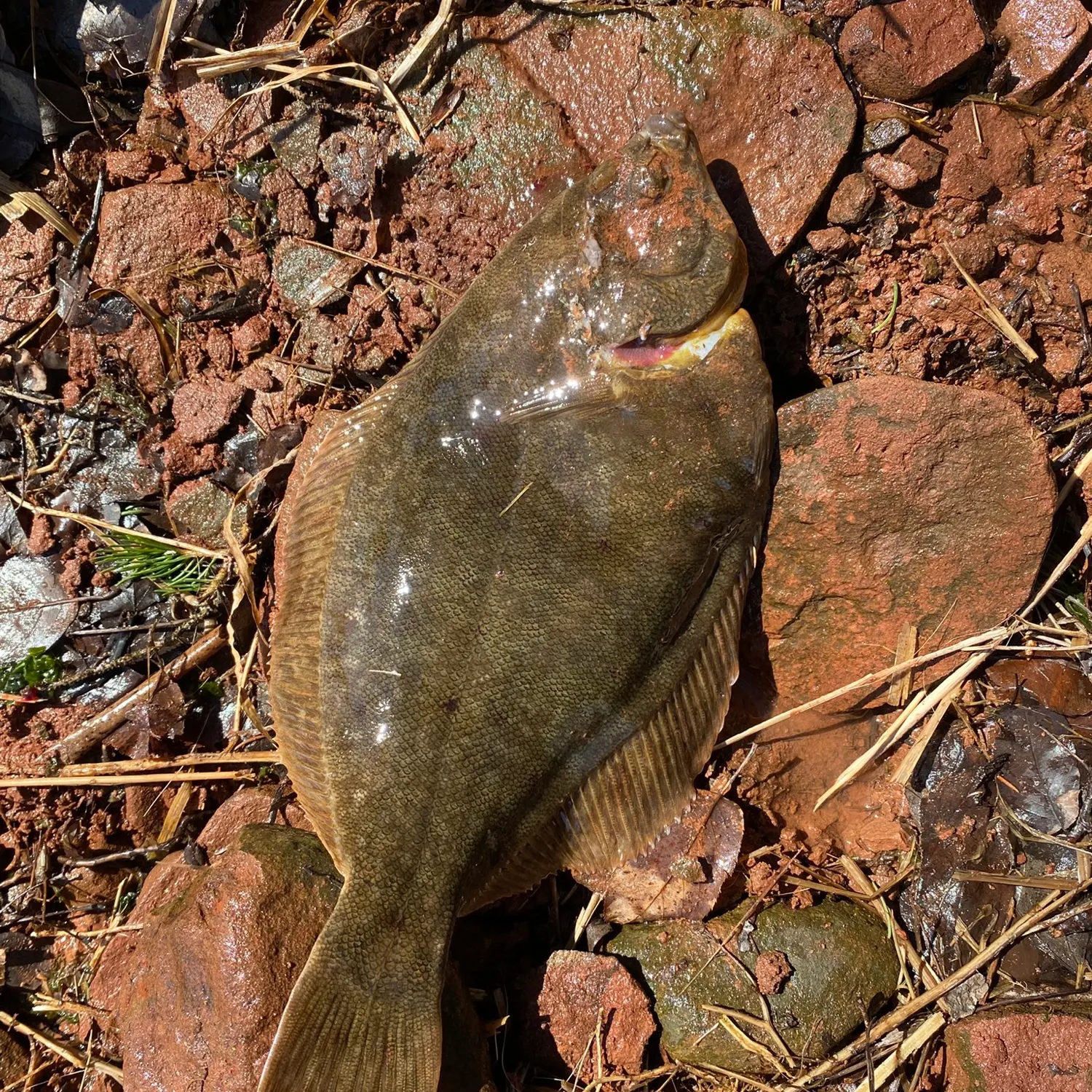
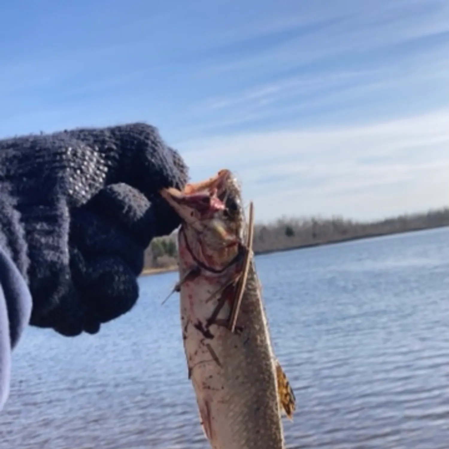
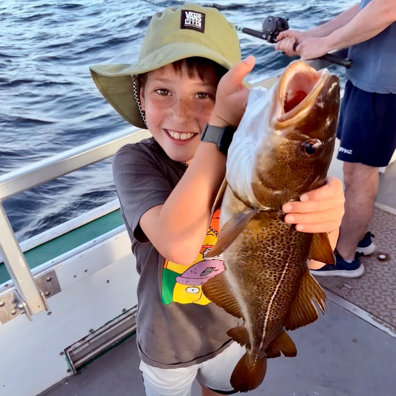
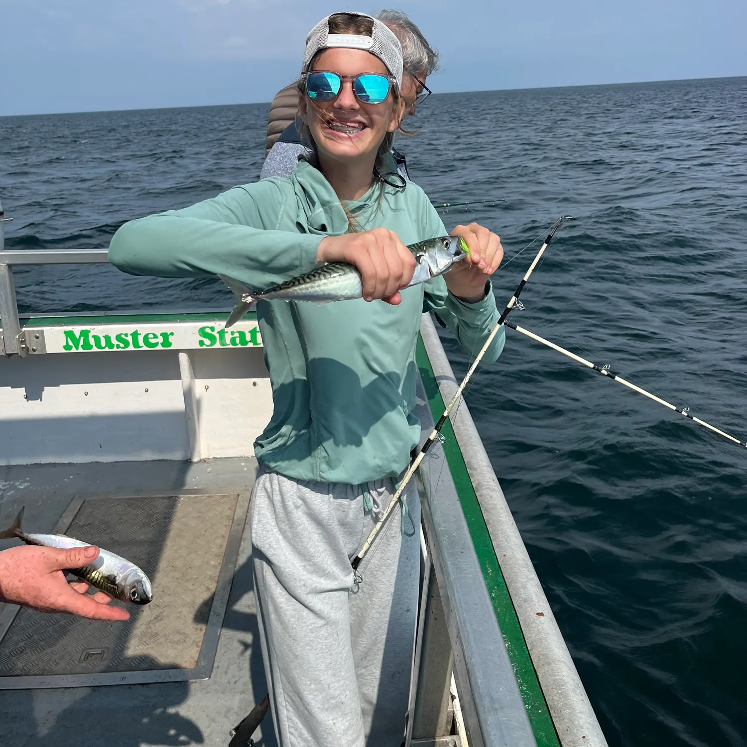
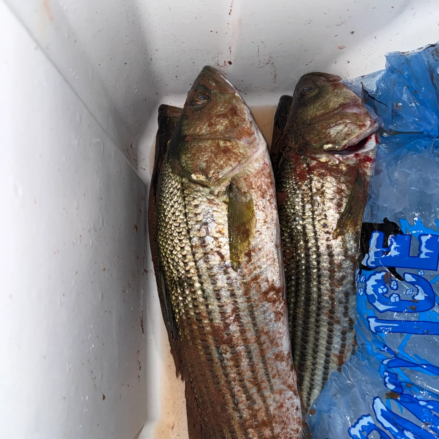
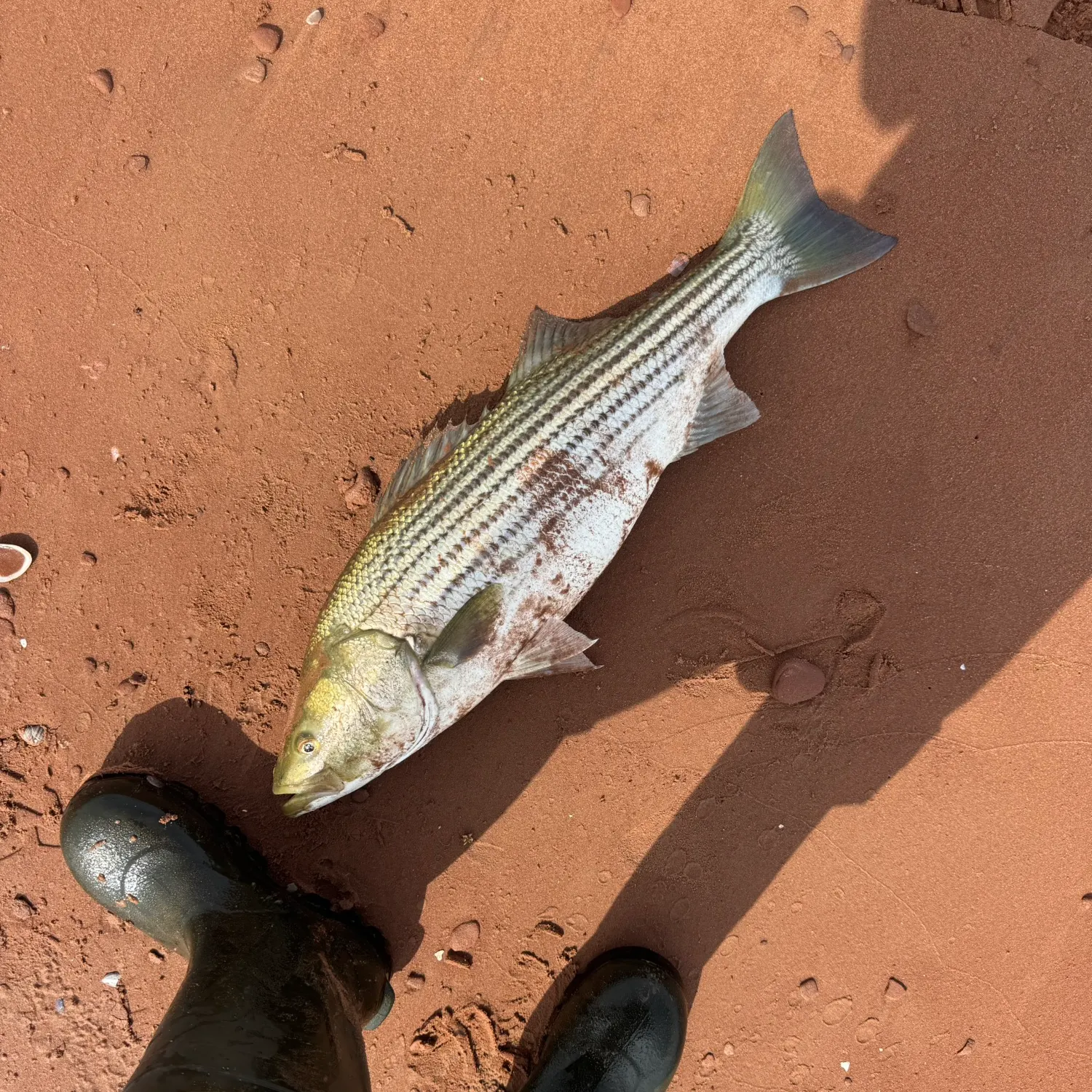
Biggest catches in Prince Edward Island
Explore your local leaderboard—see the top catches in the app.
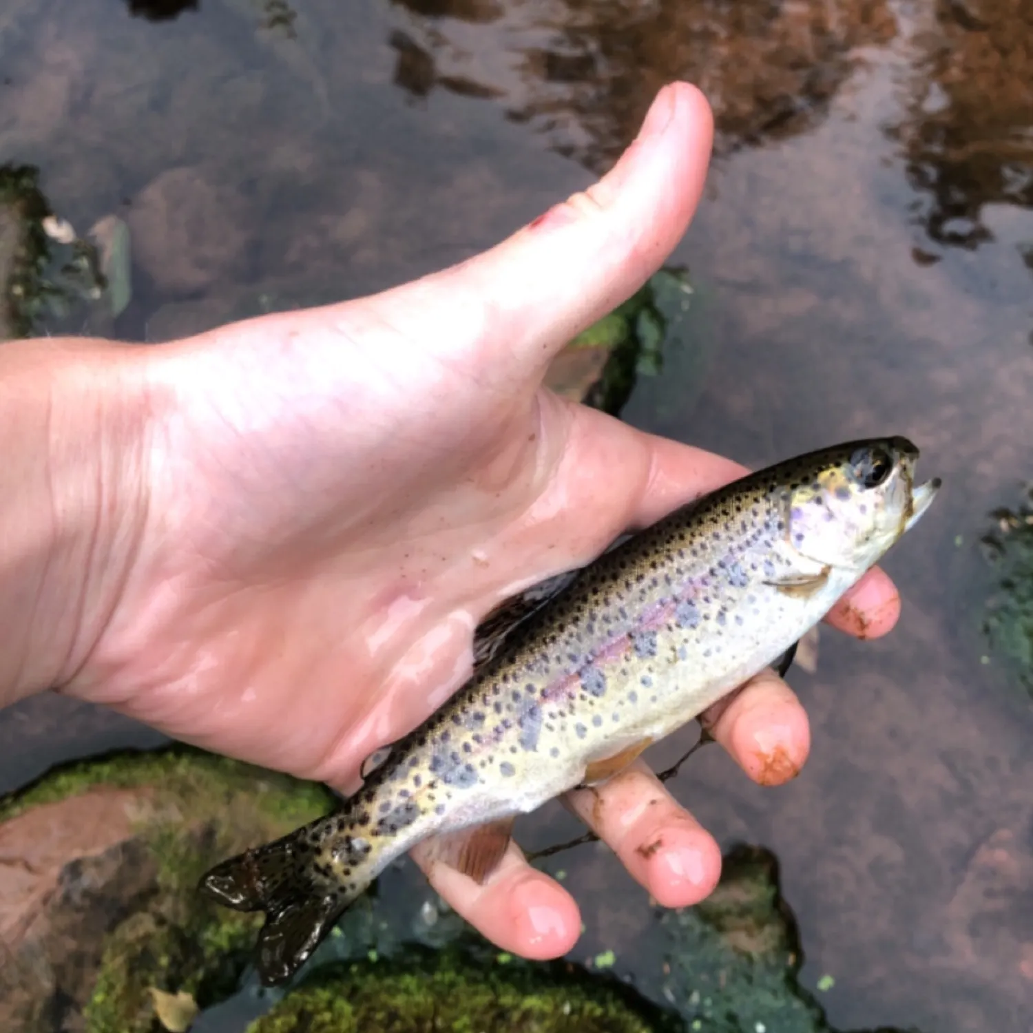
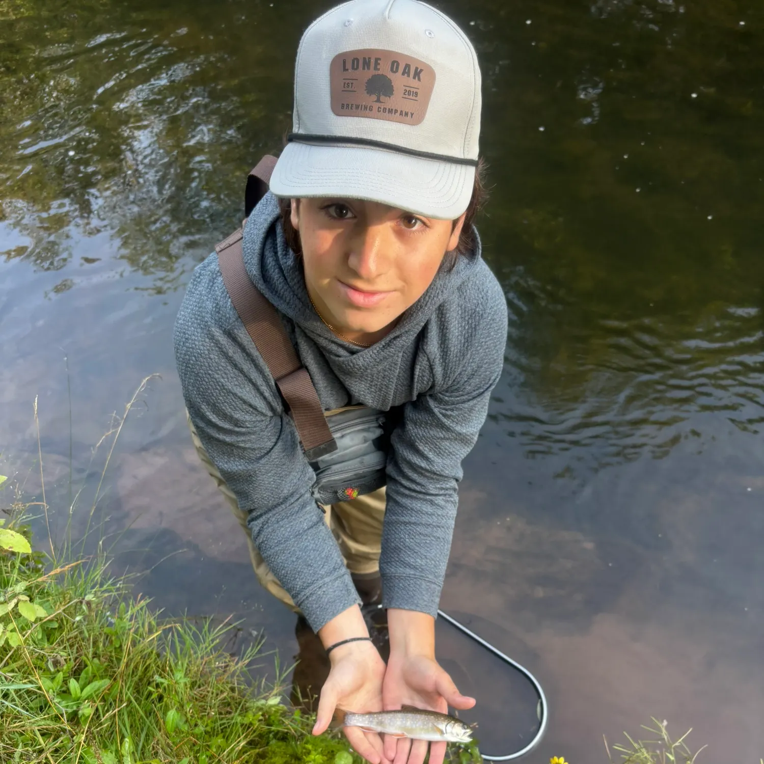
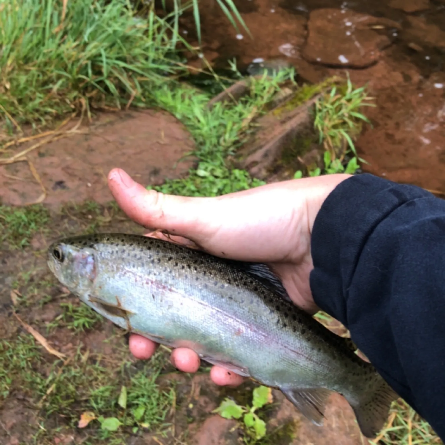
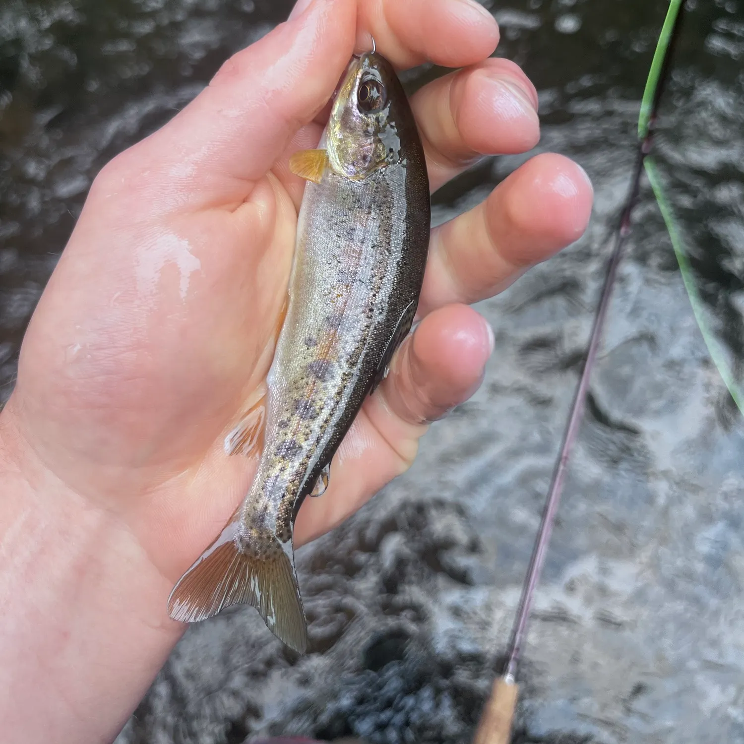
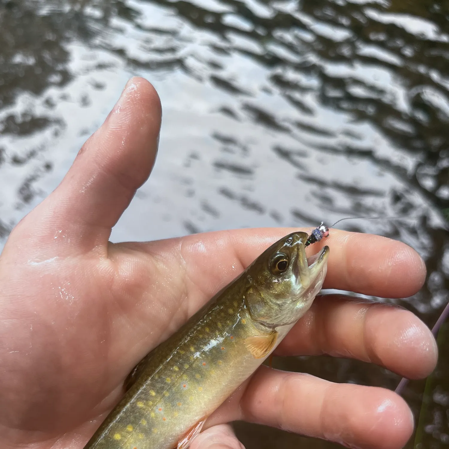
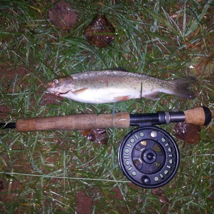
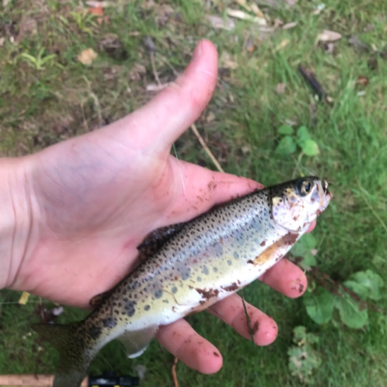
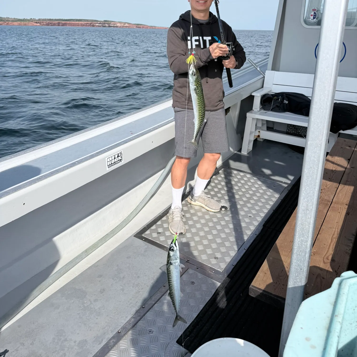
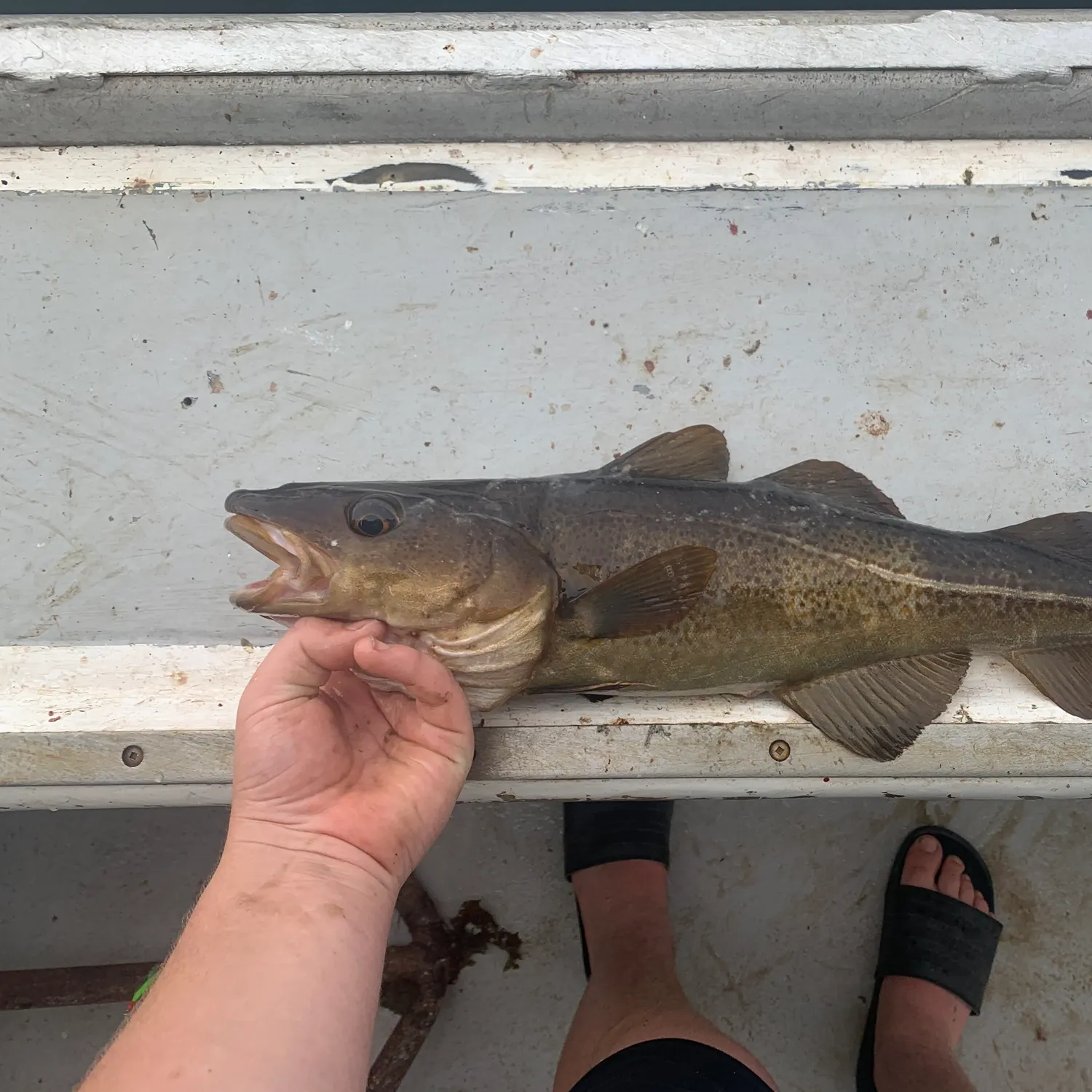
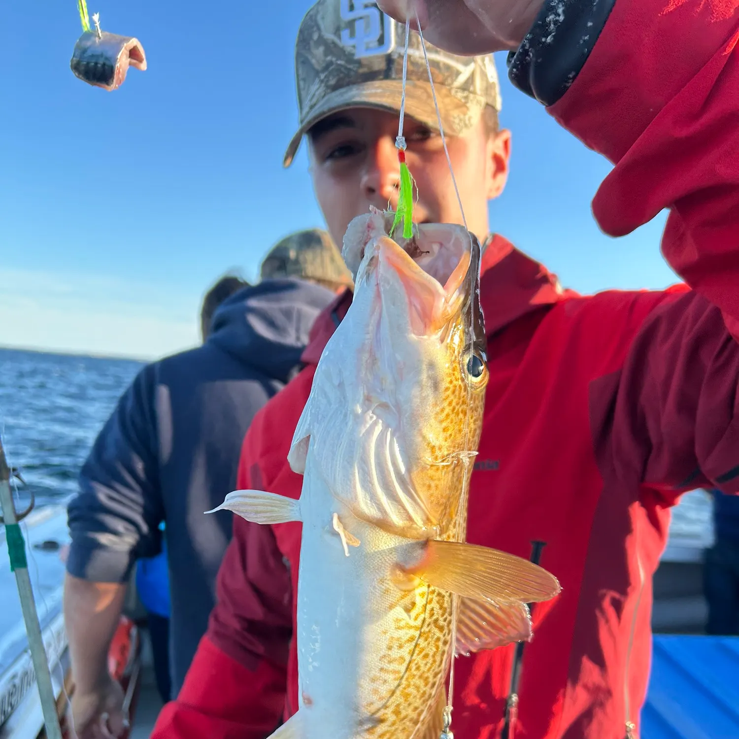
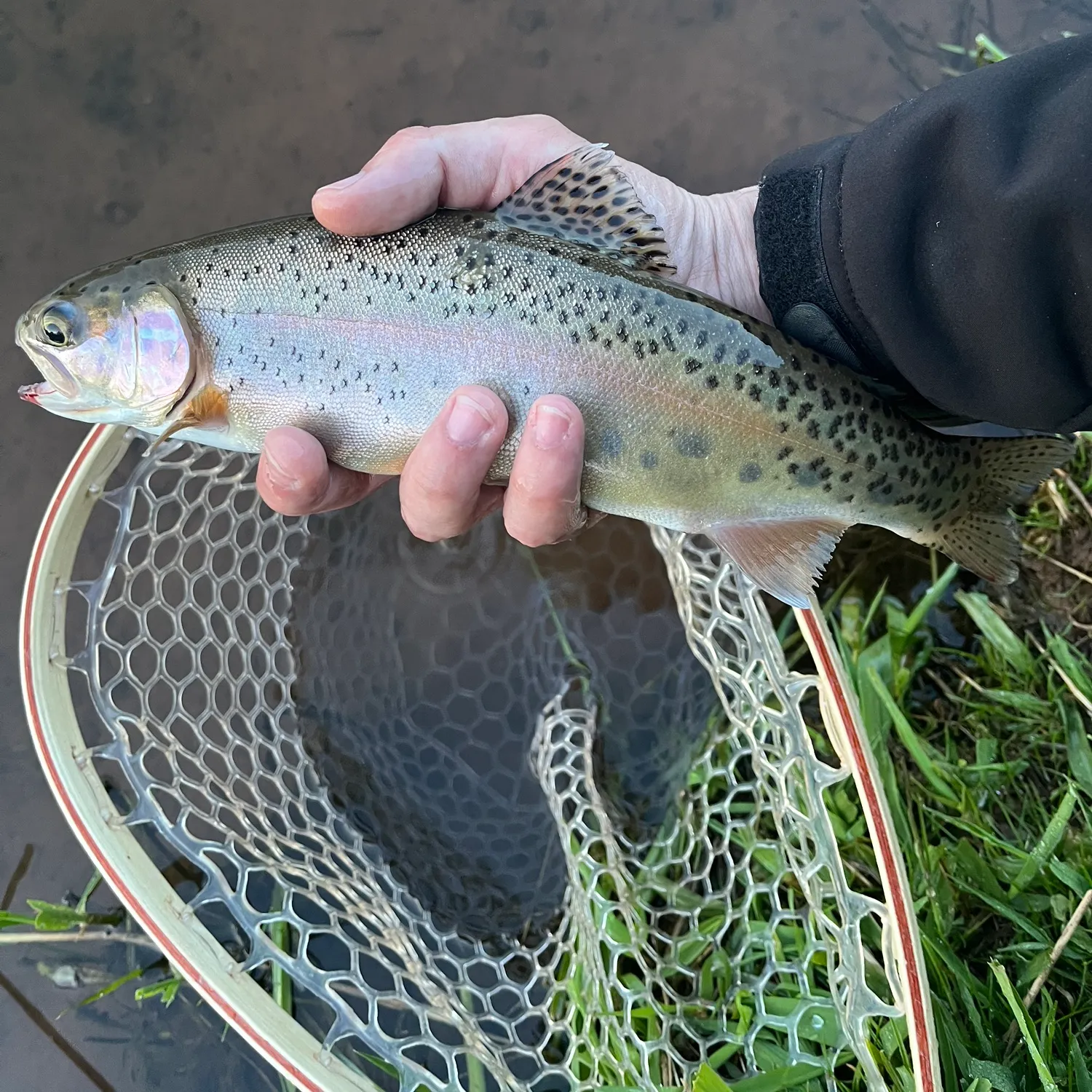
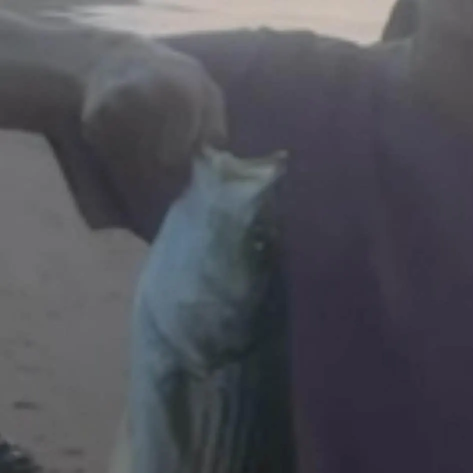
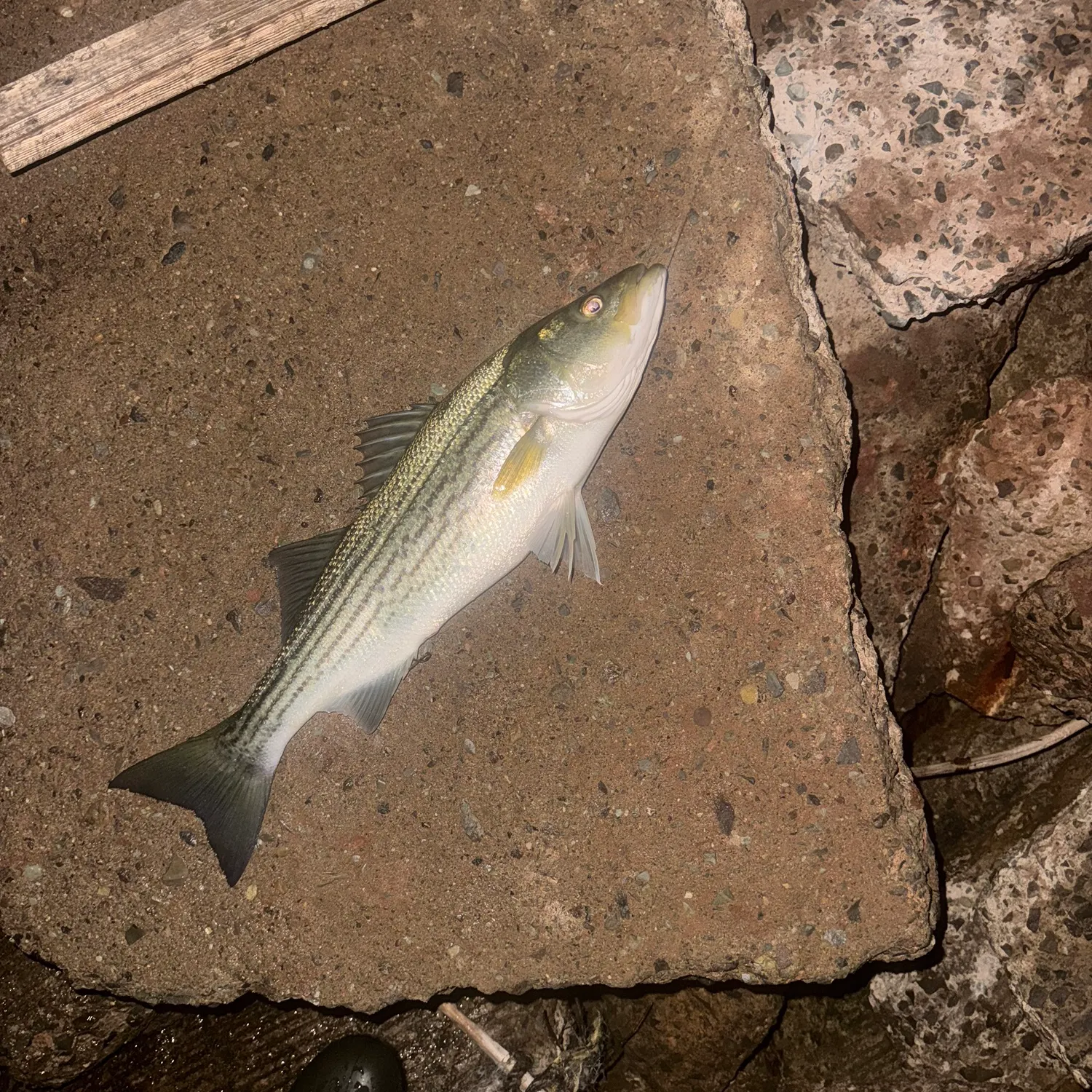
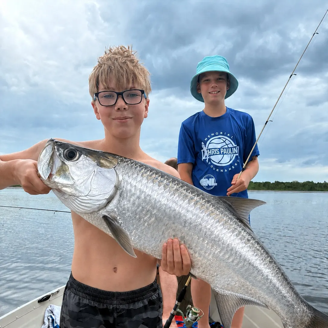
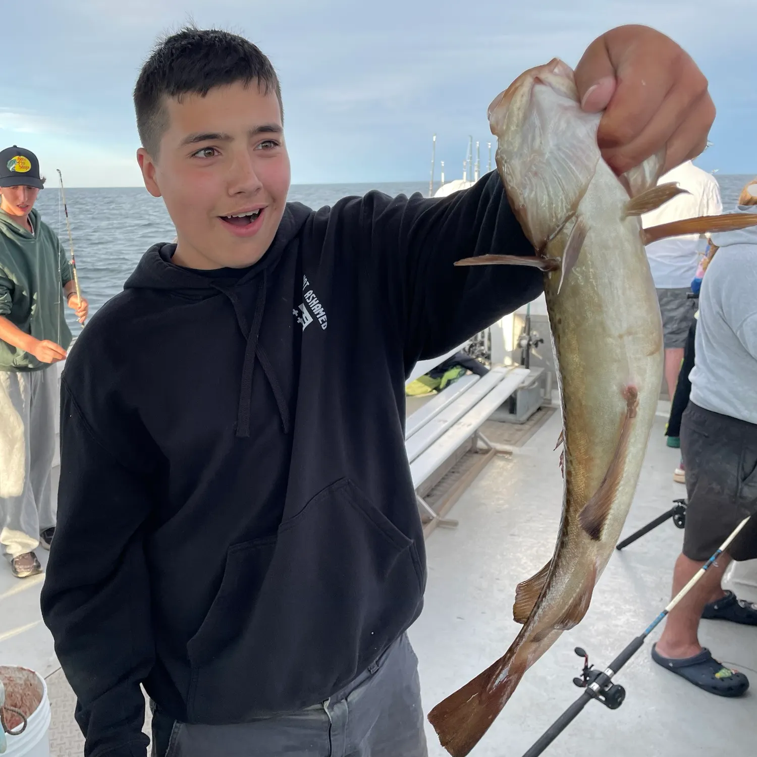
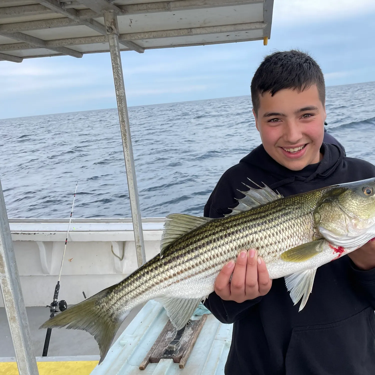
Latest Prince Edward Island fishing reports


More catches in the app...
Continue browsing catches and catch locations in the Fishbrain app

Download Fishbrain and fish smarter
Unlimited access to the best fishing spot finder in the game. Get all the fishing intel you need to start catching more, and bigger, fish.
Free trial available