Map

Saint Thomas Harbor

Fishing spots, fishing reports, and regulations in

Saint Thomas Island, Virgin Islands

10 catches

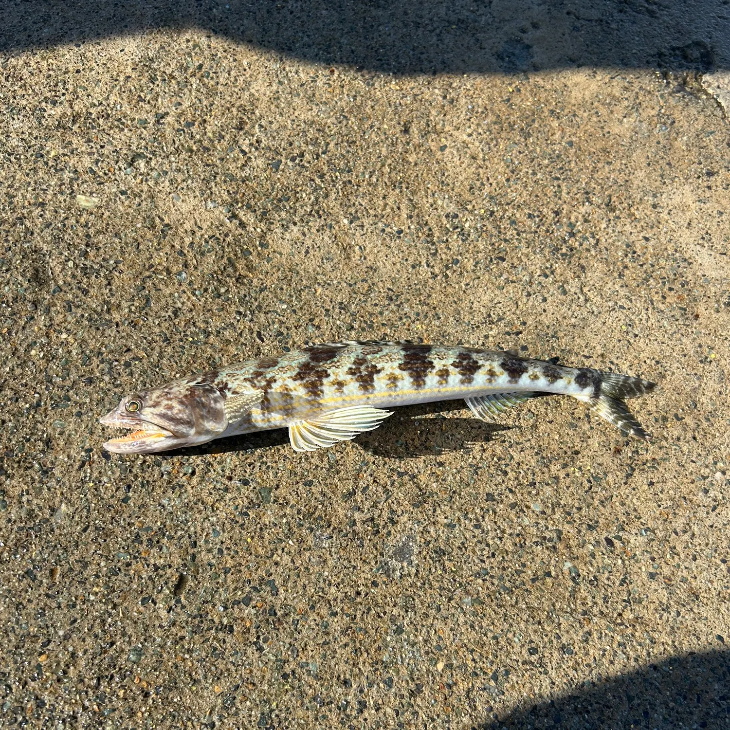
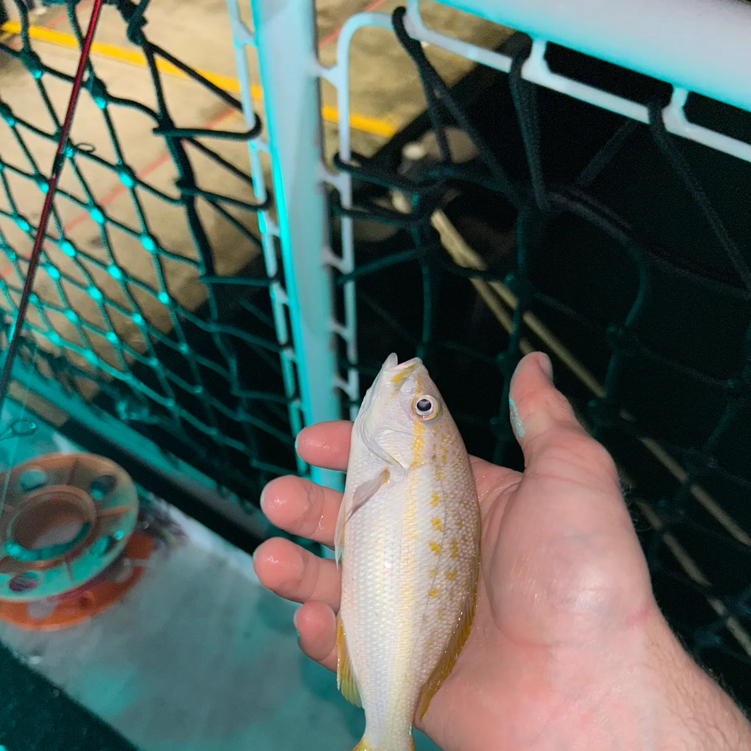
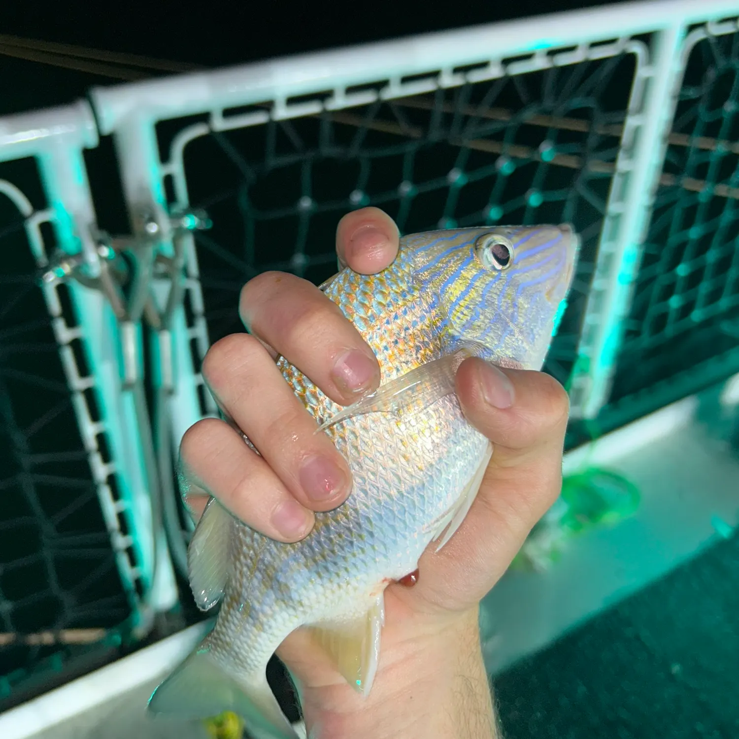
Top fish species at Saint Thomas Harbor
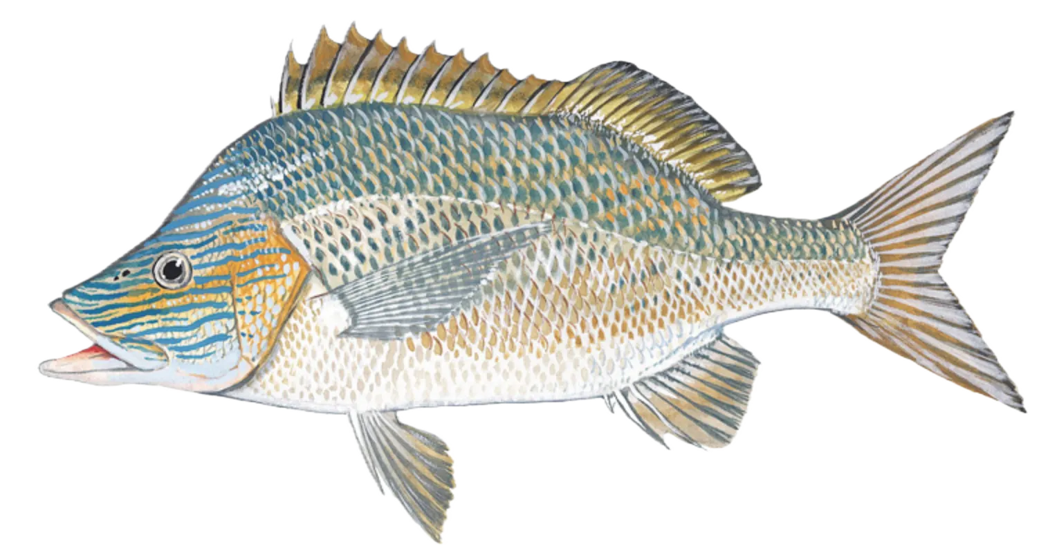
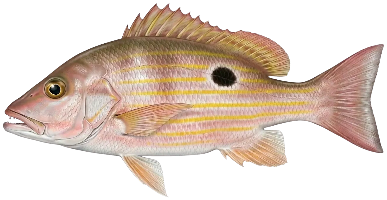
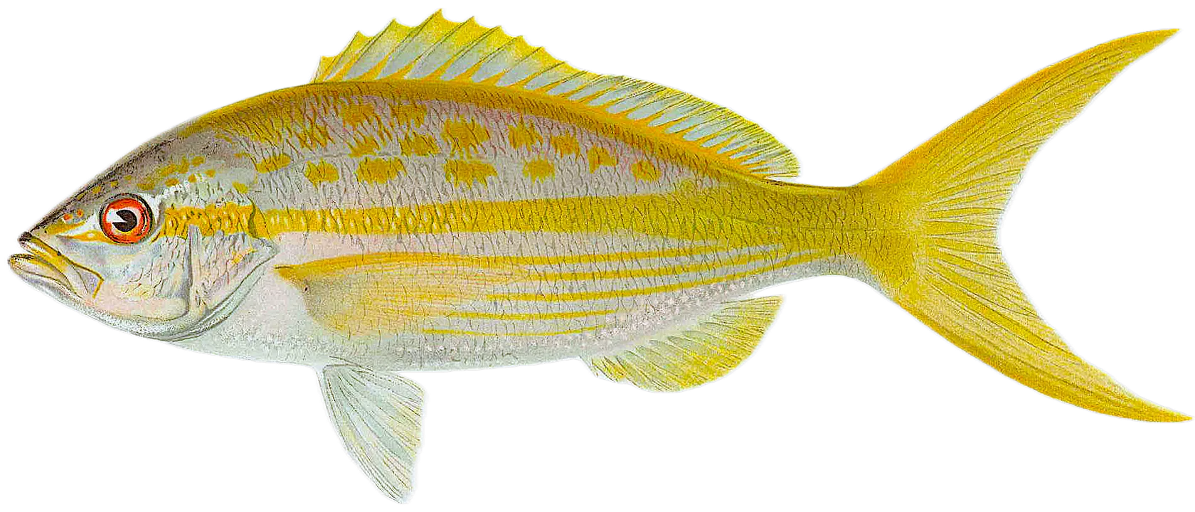
App Section

Check which species have trophy potential in Saint Thomas Harbor

Saint Thomas Harbor fishing reports

fish catches icon
recently logged catches
Loading...

Spanish mackerel

length · weight

fish catches icon
recently logged catches
Loading...

Inshore lizardfish

length · weight

fish catches icon
recently logged catches
Loading...

Nurse shark

length · weight

fish catches icon
recently logged catches
Loading...

Yellowtail snapper

length · weight

fish catches icon
recently logged catches
Loading...

White grunt

length · weight

fish catches icon
recently logged catches
Loading...

Lane snapper

length · weight

Fishbrain
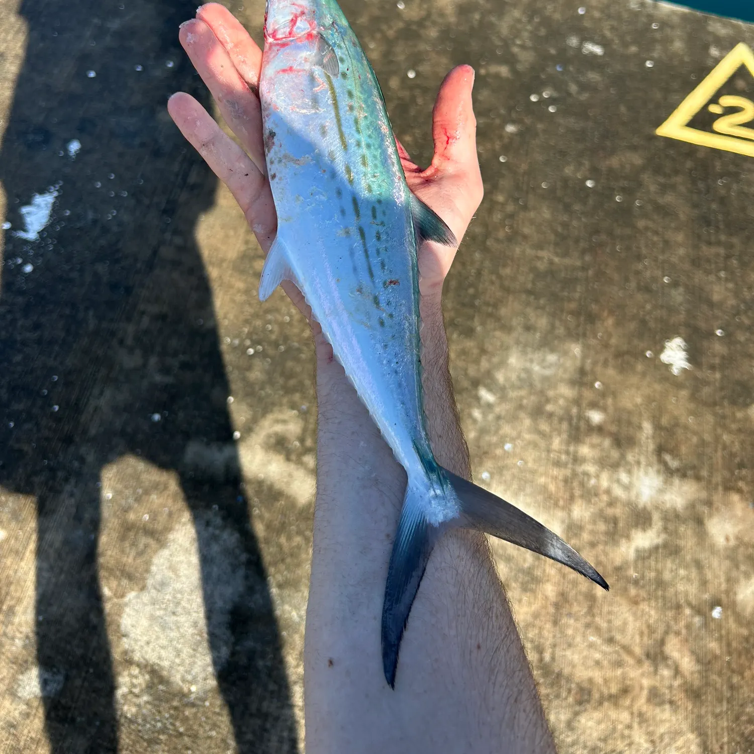
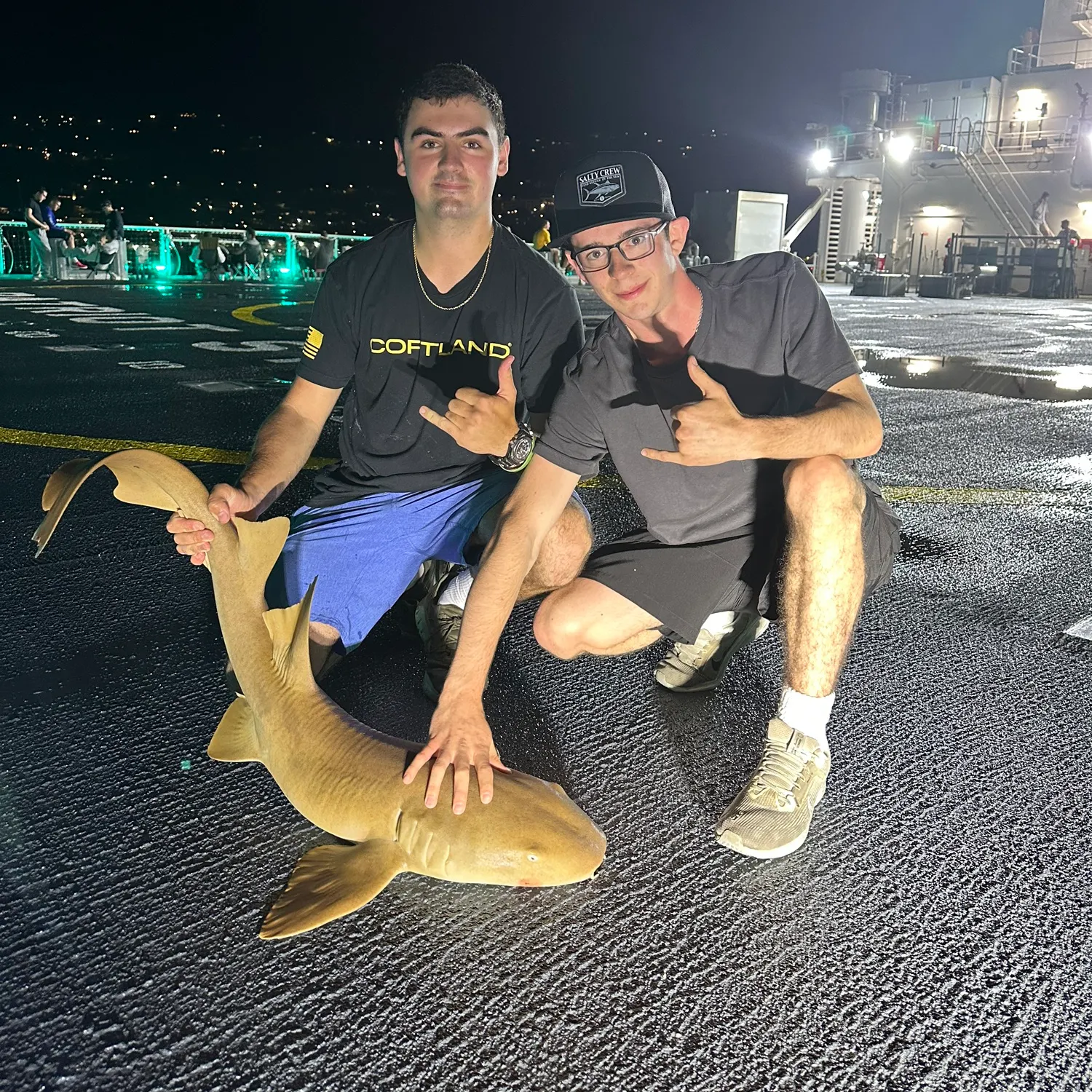
More catches in the app...

Continue browsing catches and catch locations in the Fishbrain app

Loading...
Loading...
Loading...

General info

Saint Thomas Harbor is a water located in Saint Thomas Island, Virgin Islands. It is most popular for fishing White grunt, Lane snapper, and Yellowtail snapper.

Location

18°19′48″N 64°55′43.7″W
Directions

Anything missing or inaccurate?

Suggest changes to improve what we show.

Suggest changes

FAQ about Saint Thomas Harbor fishing

Saint Thomas Harbor is a water located in Saint Thomas Island, Virgin Islands. Its coordinates are:
18°19′48″N 64°55′43.7″W
.
Find the best fishing spots on Saint Thomas Harbor by looking at where other anglers have caught fish. This can easily be done in the where it is also possible to see big fish potential and how good fishing is right now along with Garmin® depth maps.
The most common species in Saint Thomas Harbor are:
The latest Saint Thomas Harbor fishing reports are:
App Section
Download Fishbrain and fish smarter
Unlimited access to the best fishing spot finder in the game. Get all the fishing intel you need to start catching more, and bigger, fish.

Free trial available

Loading...
Loading...
Loading...
Loading...