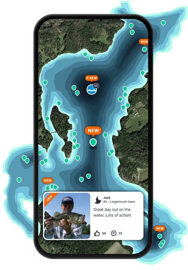
Precise planning with depth maps
Depth maps allow you to create a strategy on where to fish based on observable structures and the depth of the water. The depth of a water area is displayed through contoured lines and color, indicating how shallow or how deep a water area is. Contour lines also serve to help highlight underwater structures where fish may be hiding.

Find new fishing spots
Depth maps help you find prime fishing locations. Analyze the map for promising structures and depth changes.

Optimize your fishing strategy
We have millions of lakes covered with depth maps from both Garmin® and C-maps. Depth maps help you strategize by showing where different fish are likely to be based on water depth and structures.

Contour lines for better fishing
Choose between transparent or Nautical mode. Close lines mean steep drop-offs; spaced lines show gradual changes, guiding you to the best spots for species like bass or walleye.

Free trial available